|
Silverton, British Columbia
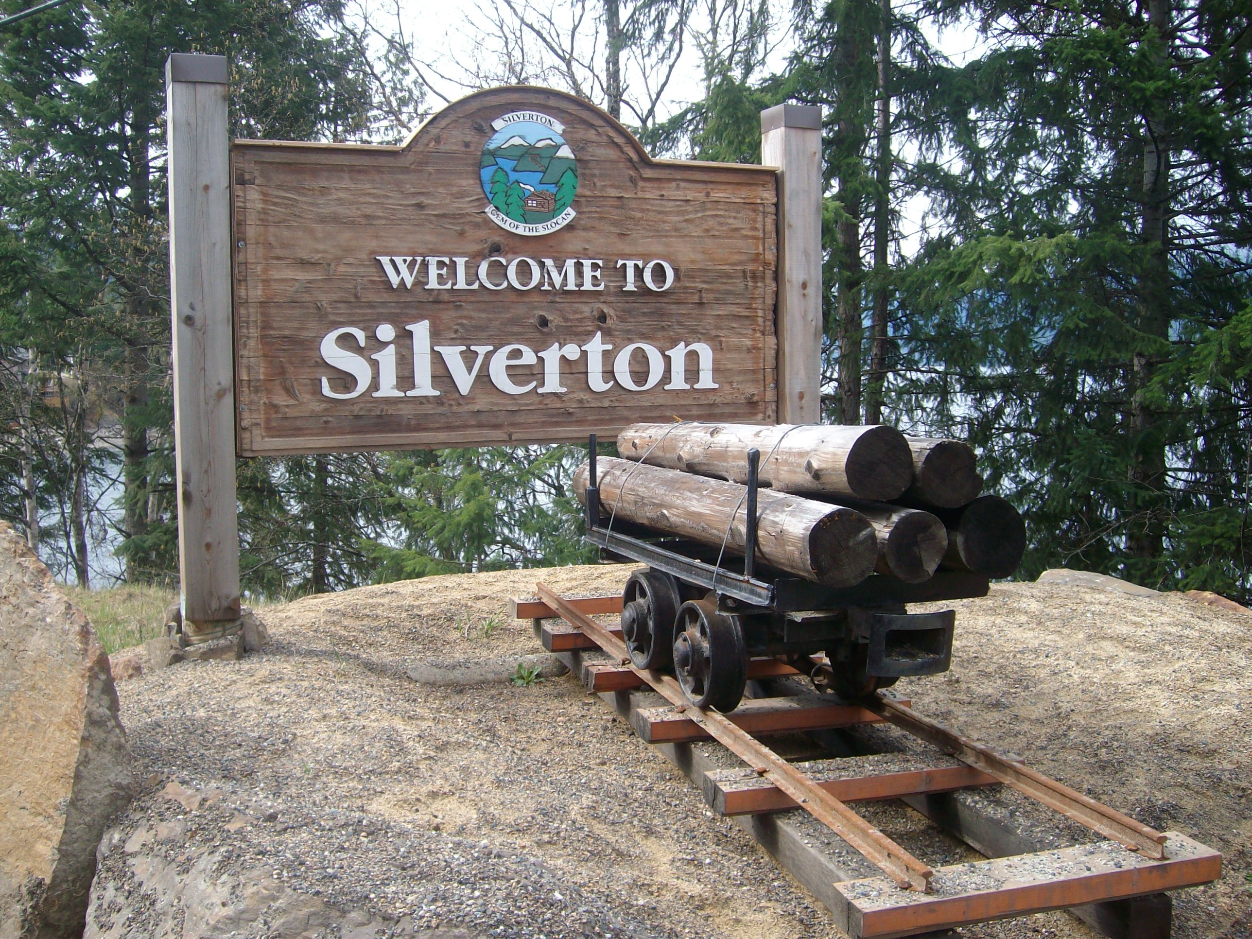
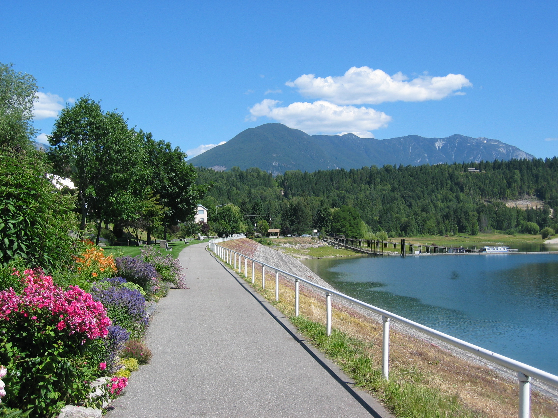
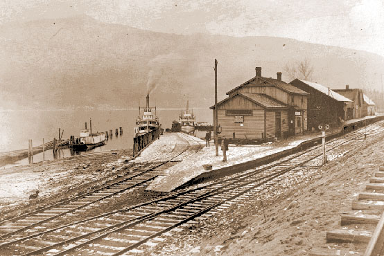
Silverton is a village about south of New Denver in the West Kootenay region of southeastern British Columbia. The former steamboat landing is at the mouth of Silverton Creek on the eastern shore of Slocan Lake. The locality, on BC Highway 6 at the junction of BC Highway 31A, is about by road north of Castlegar and by road and ferry south of Revelstoke. Name origin Four Mile or Four Mile City, the former name, came from Four Mile Creek flowing through the town. In 1892, William Hunter and J. Fred Hume bought 160 acres of Crown land, upon which they founded the townsite the same year. By 1893, the creek was sometimes called Silverton Creek. The four miles likely measured the distance by trail from New Denver. That year, the new townsite was promoted as Silverton, probably after Silverton, Colorado. Over time, Silverton also became the predominant, then official, name for the creek. Early community The Slocan Trading and Navigation Co. (ST&N) steamboat ''Wm. Hunter'', laun ... [...More Info...] [...Related Items...] OR: [Wikipedia] [Google] [Baidu] |
Microsoft Excel
Microsoft Excel is a spreadsheet developed by Microsoft for Windows, macOS, Android and iOS. It features calculation or computation capabilities, graphing tools, pivot tables, and a macro programming language called Visual Basic for Applications (VBA). Excel forms part of the Microsoft Office suite of software. Features Basic operation Microsoft Excel has the basic features of all spreadsheets, using a grid of ''cells'' arranged in numbered ''rows'' and letter-named ''columns'' to organize data manipulations like arithmetic operations. It has a battery of supplied functions to answer statistical, engineering, and financial needs. In addition, it can display data as line graphs, histograms and charts, and with a very limited three-dimensional graphical display. It allows sectioning of data to view its dependencies on various factors for different perspectives (using '' pivot tables'' and the ''scenario manager''). A PivotTable is a tool for data analysis. ... [...More Info...] [...Related Items...] OR: [Wikipedia] [Google] [Baidu] |
British Columbia Highway 31A
Highway 31 is a slightly minor north-south highway through the Selkirk Mountains in British Columbia, Canada. The highway first gained its number in 1973, and it is one of the few numbered highways in the province that is not fully paved. Highway 31 has a total distance of 175 km (109 mi) — 37 km (23 mi) along Kootenay Lake between Balfour (a junction with Highway 3A) and Kaslo (a junction with Highway 31A), 106 km (66 mi) north along Kootenay Lake north of Kaslo, then the Duncan and Lardeau Rivers and the north shore of Trout Lake, and 32 km (20 mi) between the northwest end of Trout Lake and Galena Bay, where it ends at Highway 23. The highway is a gravel road between Meadow Creek at the north end of Kootenay Lake and Trout Lake. Care should be taken when driving the route as it is narrow and has drop offs into Trout Lake north of Gerrard. The section between Lardeau and Gerrard was possibly a part of a railway. The railway was con ... [...More Info...] [...Related Items...] OR: [Wikipedia] [Google] [Baidu] |
2021 Canadian Census
The 2021 Canadian census was a detailed enumeration of the Canadian population with a reference date of May 11, 2021. It follows the 2016 Canadian census, which recorded a population of 35,151,728. The overall response rate was 98%, which is slightly lower than the response rate for the 2016 census. It recorded a population of 36,991,981, a 5.2% increase from 2016. Planning Consultation on census program content was from September 11 to December 8, 2017. The census was conducted by Statistics Canada, and was contactless as a result of the COVID-19 pandemic in Canada. The agency had considered delaying the census until 2022. About 900 supervisors and 31,000 field enumerators were hired to conduct the door-to-door survey of individuals and households who had not completed the census questionnaire by late May or early June. Canvassing agents wore masks and maintained a physical distance to comply with COVID-19 safety regulations. Questionnaire In early May 2021, Statistics Ca ... [...More Info...] [...Related Items...] OR: [Wikipedia] [Google] [Baidu] |
Zeballos, British Columbia
Zeballos (pop. 107) is a village located on the northwest coast of Vancouver Island in British Columbia, Canada. Zeballos is now known for its ecotourism and sport fishing. Location and geography Zeballos is a deep-sea port surrounded by rugged mountains and forests, located on the Zeballos River delta, at the end of Zeballos Inlet within the territory of the Ehattesaht Chinehkint First Nation. It is accessible from Highway 19, about a two and half hour drive north of Campbell River. Zeballos' position relative to nearby Nootka Sound and Kyuquot Sound make it a popular "jump-off" point for tourists and anglers. Other areas of interest include Nootka Island, Fair Harbour, a 35 km (22 mi) trip by unpaved road from Zeballos, and Brooks Peninsula Provincial Park. History The eponymous inlet was named for Lt. Ciriaco Ceballos, a crew member aboard an early ship of Spanish explorer Alessandro Malaspina's expedition (1789-1794). The location of Zeballos remained relati ... [...More Info...] [...Related Items...] OR: [Wikipedia] [Google] [Baidu] |
Municipality
A municipality is usually a single administrative division having municipal corporation, corporate status and powers of self-government or jurisdiction as granted by national and regional laws to which it is subordinate. The term ''municipality'' may also mean the governing body of a given municipality. A municipality is a general-purpose administrative subdivision, as opposed to a special district (United States), special-purpose district. The term is derived from French language, French and Latin language, Latin . The English language, English word ''municipality'' derives from the Latin social contract (derived from a word meaning "duty holders"), referring to the Latin communities that supplied Rome with troops in exchange for their own incorporation into the Roman state (granting Roman citizenship to the inhabitants) while permitting the communities to retain their own local governments (a limited autonomy). A municipality can be any political jurisdiction (area), jurisd ... [...More Info...] [...Related Items...] OR: [Wikipedia] [Google] [Baidu] |
Great Depression
The Great Depression (19291939) was an economic shock that impacted most countries across the world. It was a period of economic depression that became evident after a major fall in stock prices in the United States. The economic contagion began around September and led to the Wall Street stock market crash of October 24 (Black Thursday). It was the longest, deepest, and most widespread depression of the 20th century. Between 1929 and 1932, worldwide gross domestic product (GDP) fell by an estimated 15%. By comparison, worldwide GDP fell by less than 1% from 2008 to 2009 during the Great Recession. Some economies started to recover by the mid-1930s. However, in many countries, the negative effects of the Great Depression lasted until the beginning of World War II. Devastating effects were seen in both rich and poor countries with falling personal income, prices, tax revenues, and profits. International trade fell by more than 50%, unemployment in the U.S. rose to 23% ... [...More Info...] [...Related Items...] OR: [Wikipedia] [Google] [Baidu] |
Slocan, British Columbia
The Village of Slocan is in the West Kootenay region of southeastern British Columbia. The former steamboat landing and ferry terminal is at the mouth of Springer Creek, at the foot of Slocan Lake. The locality, on British Columbia Highway 6, BC Highway 6 is about by road north of Castlegar, British Columbia, Castlegar and by road and ferry south of Revelstoke, British Columbia, Revelstoke. Name origin Slocan ( ) is from Kutenai language, Ktunaxa ''sⱡuqan'', ), or the related ( (Sinixt ''slogan''). The meaning is "to pierce, strike on the head," in the context of spearing salmon. It likely derived from the Okanagan-Colville term. The name has been used officially for several geographical features, such as communities, rivers, lakes, a whirlpool, and mountain. Slocan became the accepted anglicized version of the wide variety of other spellings, the earliest of which was Shlogan River in 1859. The present spelling was first used in 1884. In 1891, Crown land purchases included ... [...More Info...] [...Related Items...] OR: [Wikipedia] [Google] [Baidu] |
Upper Arrow Lake
The Arrow Lakes in British Columbia, Canada, divided into Upper Arrow Lake and Lower Arrow Lake, are widenings of the Columbia River. The lakes are situated between the Selkirk Mountains to the east and the Monashee Mountains to the west. Beachland is fairly rare, and is interspersed with rocky headlands and steep cliffs. Mountain sides are heavily forested, and rise sharply to elevations around 2,600 metres. Originally two lakes 14 miles apart, the Arrow Lakes became one 230 km long lake due to the reservoir created by the 1960s construction of the Keenleyside Dam; at low water the two lakes remain distinct, connected by a fast-moving section known as the Narrows. Damming the Lower Arrow Lake resulted in water rising 12 metres above natural levels. As a result of higher water, the valley lost 2/3 of its arable land. Approximately two thousand people were relocated. The lake stretches from just north of Castlegar in the south to Revelstoke in the north. Another hydroel ... [...More Info...] [...Related Items...] OR: [Wikipedia] [Google] [Baidu] |
Nakusp
The Village of Nakusp (Sinixt ''neqo'sp'') is beside the mouth of Kuskanax Creek, on the Upper Arrow Lake in the West Kootenay region of southeastern British Columbia. Lying between the Selkirk and Monashee ranges, the village is known for its nearby hot springs and picturesque mountain lakeside setting. First Nations peoples and European explorers The Secwepemc, Sinixt and Ktunaxa peoples occupied the region for thousands of years. In 1811, Finan McDonald, a member of David Thompson's party, was the first reported European explorer on the Arrow Lakes. The settlement name came from the Nakusp Creek to the south. As to the word meaning, suggestions have included an eddy, safe place (sheltered bay), a coming together (of the lake, which narrowed at this point prior to the dam), a private body part, and having buffalo, despite no evidence buffalo ever roamed the area. Demographics In the 2021 Census of Population conducted by Statistics Canada, Nakusp had a population of ... [...More Info...] [...Related Items...] OR: [Wikipedia] [Google] [Baidu] |
Nakusp & Slocan Railway
The Nakusp and Slocan Railway (N&S) is a historic Canadian railway that operated in the West Kootenay region of southeastern British Columbia. The N&S initially connected Nakusp and Three Forks but soon extended to Sandon. Proposal The 1891 discovery of silver in the Slocan Range created a mining boom. A railway to transport ore was crucial for commercial mining. In 1892, the province issued the N&S charter, which the Canadian Pacific Railway (CP) leased the next year. Steamboat connections on Upper Arrow Lake, were northward from Nakusp to a spur from the CP main line at Revelstoke. About this time, the Kaslo and Slocan Railway (K&S), a Great Northern Railway subsidiary, received a competing charter for a route westward from Kaslo. Construction In July 1893, D. McGillivray, manager of the Inland Development & Construction Co., the principal contractor, commenced work. Progressing southeastward, the rail head from Nakusp reached Rosebery in August 1894 and Three Forks that O ... [...More Info...] [...Related Items...] OR: [Wikipedia] [Google] [Baidu] |
Rosebery, British Columbia
Rosebery is an unincorporated community about north of New Denver in the West Kootenay region of southeastern British Columbia. The former steamboat landing and ferry terminal is at the mouth of Wilson Creek on the eastern shore of Slocan Lake. The locality, on BC Highway 6, is about by road north of Castlegar and by road and ferry south of Revelstoke. Name origin Wilson Creek, the former name, came from the creek flowing through the hamlet. The naming honoured either John Wilson, a resident until about 1902, or Arthur M. Wilson, the Slocan's first justice of the peace, who staked land at the creek in 1891, and left in the late 1890s. The Slocan Trading and Navigation Co. (ST&N) steamboat ''Wm. Hunter'', launched at New Denver in November 1892, would have served the location on its regular trips from New Denver to the head and foot of the lake. With the coming railway, a townsite was surveyed and renamed Rosebery, in honour of the prime minister of Great Britain, Lord Ros ... [...More Info...] [...Related Items...] OR: [Wikipedia] [Google] [Baidu] |


_SlocanCity.jpg)

