|
Sharnford
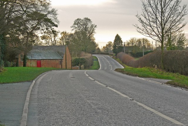
Sharnford is a village and civil parish in Blaby (district), Blaby of Leicestershire. The parish has a population of about 1,000, measured at the 2011 census as 985. The village is about four miles east of Hinckley, and is near to Aston Flamville, Wigston Parva and Sapcote. History The Domesday hamlet or farmstead of ''Scerneford'' is mentioned in the tenth-century will of Wulfric Spot, earl of Mercia, and probably named after a "" or muddy ford over the River Soar. It lies immediately north of High Cross, Leicestershire, High Cross, near the Roman station at ''Venonis'' (mentioned in the Antonine Itinerary) at the intersection of Roman Watling Street and the Fosse Way Sharnford was originally a single vill, divided into two manors. During the English Civil War soldiers from the local garrisons visited Sharnford in search of fresh horses and "provinder". In June, 1646 the Sharnford constables claimed for provender ("provinder") taken by Captain Flower of the Coventry garrison, ... [...More Info...] [...Related Items...] OR: [Wikipedia] [Google] [Baidu] |
River Soar
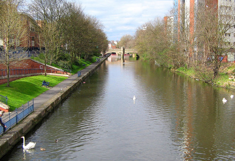
The River Soar () is a major tributary of the River Trent in the English East Midlands and is the principal river of Leicestershire. The source of the river is midway between Hinckley and Lutterworth. The river then flows north through Leicester, where it is joined by the Grand Union Canal. Continuing on through the Leicestershire Soar Valley, it passes Loughborough and Kegworth until it reaches the Trent at the county boundary. In the 18th century, the Soar was made navigable, initially between Loughborough and the Trent, and then through to Leicester. It was not until the early 19th century that it was linked by the Grand Union Canal to the wider network to the south and to London. Name The name of the ''Soar'' is included in a family of old river-names derived from a root ''*ser-'' "to flow", alongside (among others) ''Saravus'' (''Soar'', a tributary of the Moselle in Belgium), ''Sera'' (''la Serre'', ''la Cère'' and ''le Séran'', three rivers in France), ''Serantia'' ( ... [...More Info...] [...Related Items...] OR: [Wikipedia] [Google] [Baidu] |
Blaby (district)
Blaby is a local government district in Leicestershire, England. The district is named after Blaby. The population of the district at the 2011 census was 93,915. It covers the civil parish of Blaby and 23 others. Among these are Cosby, Countesthorpe, Enderby, Huncote, Narborough (the location of the main district council offices), Sapcote, Stoney Stanton, and Wigston Parva. Much of the district is part of the Leicester Urban Area: this applies especially to the parishes of Braunstone Town (including the commuter housing development of Thorpe Astley); Glenfield (the location of County Hall, the home of Leicestershire County Council); Kirby Muxloe; Leicester Forest East; and Glen Parva. There are plans to extend this urban area significantly through a large scale housing development, in the rural parish of Lubbesthorpe, and expansion of the industrial area in the neighbouring parish of Enderby. Blaby was represented in Parliament by the former Chancellor of the Exchequer ... [...More Info...] [...Related Items...] OR: [Wikipedia] [Google] [Baidu] |
Fosse Way
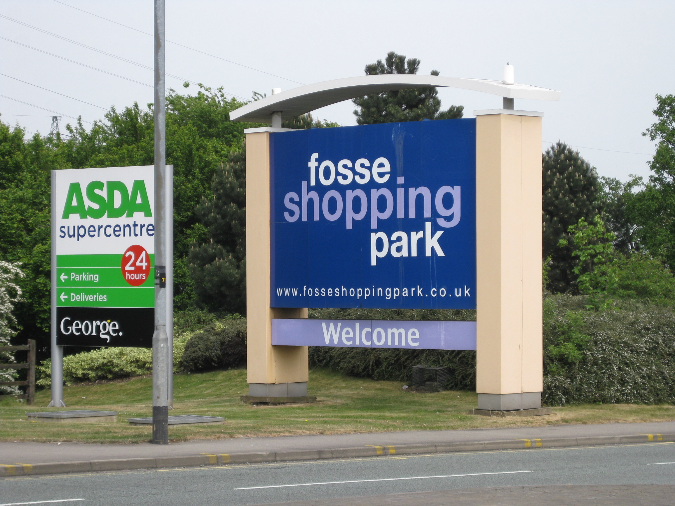
The Fosse Way was a Roman road built in Britain during the first and second centuries AD that linked Isca Dumnoniorum (Exeter) in the southwest and Lindum Colonia (Lincoln) to the northeast, via Lindinis (Ilchester), Aquae Sulis ( Bath), Corinium (Cirencester), and Ratae Corieltauvorum (Leicester). Roman route The word ''Fosse'' is derived from the Latin , meaning 'ditch'. For the first few decades after the Roman invasion of Britain in 43 CE, the Fosse Way marked the western frontier of Roman rule in Iron Age Britain. It is possible that the road began as a defensive ditch that was later filled in and converted into a road, or possibly a defensive ditch ran alongside the road for at least some of its length. The road joined Akeman Street and Ermin Way at Cirencester, crossed Watling Street at ''Venonis'' (High Cross) south of Leicester, and joined Ermine Street at Lincoln. The Antonine Itinerary (a 2nd-century Roman register of roads) includes the section between High Cross ... [...More Info...] [...Related Items...] OR: [Wikipedia] [Google] [Baidu] |
Wigston Parva
Wigston Parva is a hamlet and civil parish in the Blaby district of Leicestershire, England. The parish has a population of about 30. It is very near the county boundary with Warwickshire. Nearby places include Smockington, and Sharnford. The population of the hamlet at the 2011 census was included in the civil parish In England, a civil parish is a type of administrative parish used for local government. It is a territorial designation which is the lowest tier of local government below districts and counties, or their combined form, the unitary authority ... of Stanton and Flamville. External links Hamlets in Leicestershire Civil parishes in Leicestershire Blaby {{Leicestershire-geo-stub ... [...More Info...] [...Related Items...] OR: [Wikipedia] [Google] [Baidu] |
Villages In Leicestershire
A village is a clustered human settlement or community, larger than a hamlet but smaller than a town (although the word is often used to describe both hamlets and smaller towns), with a population typically ranging from a few hundred to a few thousand. Though villages are often located in rural areas, the term urban village is also applied to certain urban neighborhoods. Villages are normally permanent, with fixed dwellings; however, transient villages can occur. Further, the dwellings of a village are fairly close to one another, not scattered broadly over the landscape, as a dispersed settlement. In the past, villages were a usual form of community for societies that practice subsistence agriculture, and also for some non-agricultural societies. In Great Britain, a hamlet earned the right to be called a village when it built a church. [...More Info...] [...Related Items...] OR: [Wikipedia] [Google] [Baidu] |
Arriva Fox County
Arriva Midlands East, is a bus company operating services in Leicestershire. It is a trading division of Arriva Midlands which is a subsidiary of Arriva plc which is itself owned by the government of Germany through Deutsche Bahn. History In September 1981 Midland Red East was formed with 181 buses operating from five depots in Derbyshire, Leicestershire, Lincolnshire and Nottinghamshire as part of the breakup of the Midland Red bus company, and in January 1984 was renamed Midland Fox.Midland Red Depots MidlandRed.net In 1987 it was privatised in a . Several smaller operators including Loughborough Bus & Coach Company were purchased and in 1989 it was sold to the Drawlane Grou ... [...More Info...] [...Related Items...] OR: [Wikipedia] [Google] [Baidu] |
Cricket
Cricket is a bat-and-ball game played between two teams of eleven players on a field at the centre of which is a pitch with a wicket at each end, each comprising two bails balanced on three stumps. The batting side scores runs by striking the ball bowled at one of the wickets with the bat and then running between the wickets, while the bowling and fielding side tries to prevent this (by preventing the ball from leaving the field, and getting the ball to either wicket) and dismiss each batter (so they are "out"). Means of dismissal include being bowled, when the ball hits the stumps and dislodges the bails, and by the fielding side either catching the ball after it is hit by the bat, but before it hits the ground, or hitting a wicket with the ball before a batter can cross the crease in front of the wicket. When ten batters have been dismissed, the innings ends and the teams swap roles. The game is adjudicated by two umpires, aided by a third umpire and match referee ... [...More Info...] [...Related Items...] OR: [Wikipedia] [Google] [Baidu] |
England
England is a country that is part of the United Kingdom. It shares land borders with Wales to its west and Scotland to its north. The Irish Sea lies northwest and the Celtic Sea to the southwest. It is separated from continental Europe by the North Sea to the east and the English Channel to the south. The country covers five-eighths of the island of Great Britain, which lies in the North Atlantic, and includes over 100 smaller islands, such as the Isles of Scilly and the Isle of Wight. The area now called England was first inhabited by modern humans during the Upper Paleolithic period, but takes its name from the Angles, a Germanic tribe deriving its name from the Anglia peninsula, who settled during the 5th and 6th centuries. England became a unified state in the 10th century and has had a significant cultural and legal impact on the wider world since the Age of Discovery, which began during the 15th century. The English language, the Anglican Church, and Engli ... [...More Info...] [...Related Items...] OR: [Wikipedia] [Google] [Baidu] |
Grade II Listed
In the United Kingdom, a listed building or listed structure is one that has been placed on one of the four statutory lists maintained by Historic England in England, Historic Environment Scotland in Scotland, in Wales, and the Northern Ireland Environment Agency in Northern Ireland. The term has also been used in the Republic of Ireland, where buildings are protected under the Planning and Development Act 2000. The statutory term in Ireland is " protected structure". A listed building may not be demolished, extended, or altered without special permission from the local planning authority, which typically consults the relevant central government agency, particularly for significant alterations to the more notable listed buildings. In England and Wales, a national amenity society must be notified of any work to a listed building which involves any element of demolition. Exemption from secular listed building control is provided for some buildings in current use for worship, ... [...More Info...] [...Related Items...] OR: [Wikipedia] [Google] [Baidu] |
Lord Of The Manor
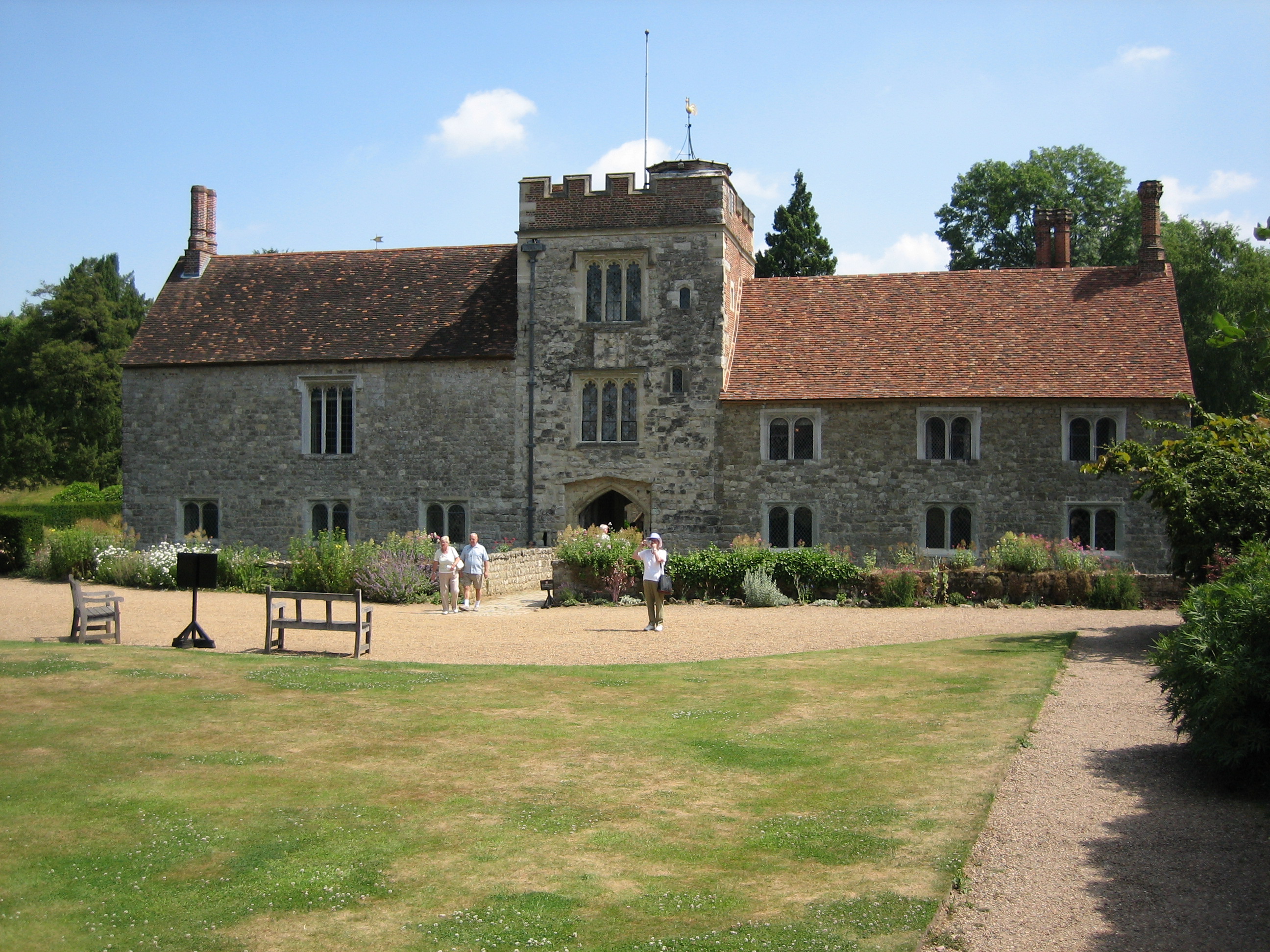
Lord of the Manor is a title that, in Anglo-Saxon England, referred to the landholder of a rural estate. The lord enjoyed manorial rights (the rights to establish and occupy a residence, known as the manor house and demesne) as well as seignory, the right to grant or draw benefit from the estate. The title continues in modern England and Wales as a legally recognised form of property that can be held independently of its historical rights. It may belong entirely to one person or be a moiety shared with other people. A title similar to such a lordship is known in French as ''Sieur'' or , in German, (Kaleagasi) in Turkish, in Norwegian and Swedish, in Welsh, in Dutch, and or in Italian. Types Historically a lord of the manor could either be a tenant-in-chief if he held a capital manor directly from the Crown, or a mesne lord if he was the vassal of another lord. The origins of the lordship of manors arose in the Anglo-Saxon system of manorialism. Following the N ... [...More Info...] [...Related Items...] OR: [Wikipedia] [Google] [Baidu] |
John Nichols (printer)
John Nichols (2 February 1745 – 26 November 1826) was an English printer, author and antiquary. He is remembered as an influential editor of the ''Gentleman's Magazine'' for nearly 40 years; author of a monumental county history of Leicestershire; author of two compendia of biographical material relating to his literary contemporaries; and as one of the agents behind the first complete publication of Domesday Book in 1783. Early life and apprenticeship He was born in Islington, London to Edward Nichols and Anne Wilmot. On 22 June 1766 he married Anne, daughter of William Cradock. Anne bore him three children: Anne (1767), Sarah (1769), and William Bowyer (born 1775 and died a year later). His wife Anne also died in 1776. Nichols was married a second time in 1778, to Martha Green who bore him eight children. Nichols was taken for training by "the learned printer", William Bowyer the Younger in early 1757.Keith Maslen, ‘Bowyer, William (1699–1777)’, ''Oxford Dictionary of ... [...More Info...] [...Related Items...] OR: [Wikipedia] [Google] [Baidu] |
Coventry
Coventry ( or ) is a City status in the United Kingdom, city in the West Midlands (county), West Midlands, England. It is on the River Sherbourne. Coventry has been a large settlement for centuries, although it was not founded and given its city status until the Middle Ages. The city is governed by Coventry City Council. Historic counties of England, Formerly part of Warwickshire until 1451, Coventry had a population of 345,328 at the 2021 census, making it the tenth largest city in England and the 12th largest in the United Kingdom. It is the second largest city in the West Midlands (region), West Midlands region, after Birmingham, from which it is separated by an area of Green belt (United Kingdom), green belt known as the Meriden Gap, and the third largest in the wider Midlands after Birmingham and Leicester. The city is part of a larger conurbation known as the Coventry and Bedworth Urban Area, which in 2021 had a population of 389,603. Coventry is east-south-east of ... [...More Info...] [...Related Items...] OR: [Wikipedia] [Google] [Baidu] |


