|
Blaby (district)
Blaby is a local government district in Leicestershire, England. The district is named after Blaby. The population of the district at the 2011 census was 93,915. It covers the civil parish of Blaby and 23 others. Among these are Cosby, Countesthorpe, Enderby, Huncote, Narborough (the location of the main district council offices), Sapcote, Stoney Stanton, and Wigston Parva. Much of the district is part of the Leicester Urban Area: this applies especially to the parishes of Braunstone Town (including the commuter housing development of Thorpe Astley); Glenfield (the location of County Hall, the home of Leicestershire County Council); Kirby Muxloe; Leicester Forest East; and Glen Parva. There are plans to extend this urban area significantly through a large scale housing development, in the rural parish of Lubbesthorpe, and expansion of the industrial area in the neighbouring parish of Enderby. Blaby was represented in Parliament by the former Chancellor of the Exchequer ... [...More Info...] [...Related Items...] OR: [Wikipedia] [Google] [Baidu] |
Blaby
Blaby () is a large village in the Blaby District in central Leicestershire, England, some five miles south of Leicester city centre. At the time of the 2011 census, Blaby had a population of 6,194, a slight fall from 6,240 in 2001 figures). Blaby's proximity to the city causes it to form part of the Leicester Urban Area. Its name probably came Old Norse ''Blábýr'' = "farmstead or village belonging to a man named Blár" (where the ''-r'' is a case ending). There seems to have been a dense patch of Viking settlement in Leicestershire, although some records in the Blaby Library indicate the origin of the village's name was from the first vicar. Blaby is twinned with the village of Villers-sous-Saint-Leu in France. Buildings While there are few buildings of outstanding historical or architectural interest, old Blaby is a conservation area. Old Blaby contains The Baker's Arms, a thatched public house that dates back to 1484. The other public houses to be found in Blaby are The ... [...More Info...] [...Related Items...] OR: [Wikipedia] [Google] [Baidu] |
ONS Coding System
ONS codes are geocodes maintained by the United Kingdom's Office for National Statistics to represent a wide range of geographical areas of the UK, for use in tabulating census and other statistical data. These codes are also known as GSS codes, where GSS refers to the ''Government Statistical Service'' of which ONS is part. The previous hierarchical system of codes was replaced as from January 2011 by a nine-character code for all types of geography, in which there is no relation between the code for a lower-tier area and the corresponding parent area. The older coding system has now been phased out. Geography of the UK Census Information from the 2011 Census is published for a wide variety of geographical units. These areas include: * Counties in England * Districts within English counties, and Unitary Authority areas served by one council providing district and county functions * Unitary council areas in Wales, Scotland, and Northern Ireland * Civil parishes ( communities i ... [...More Info...] [...Related Items...] OR: [Wikipedia] [Google] [Baidu] |
Braunstone Town
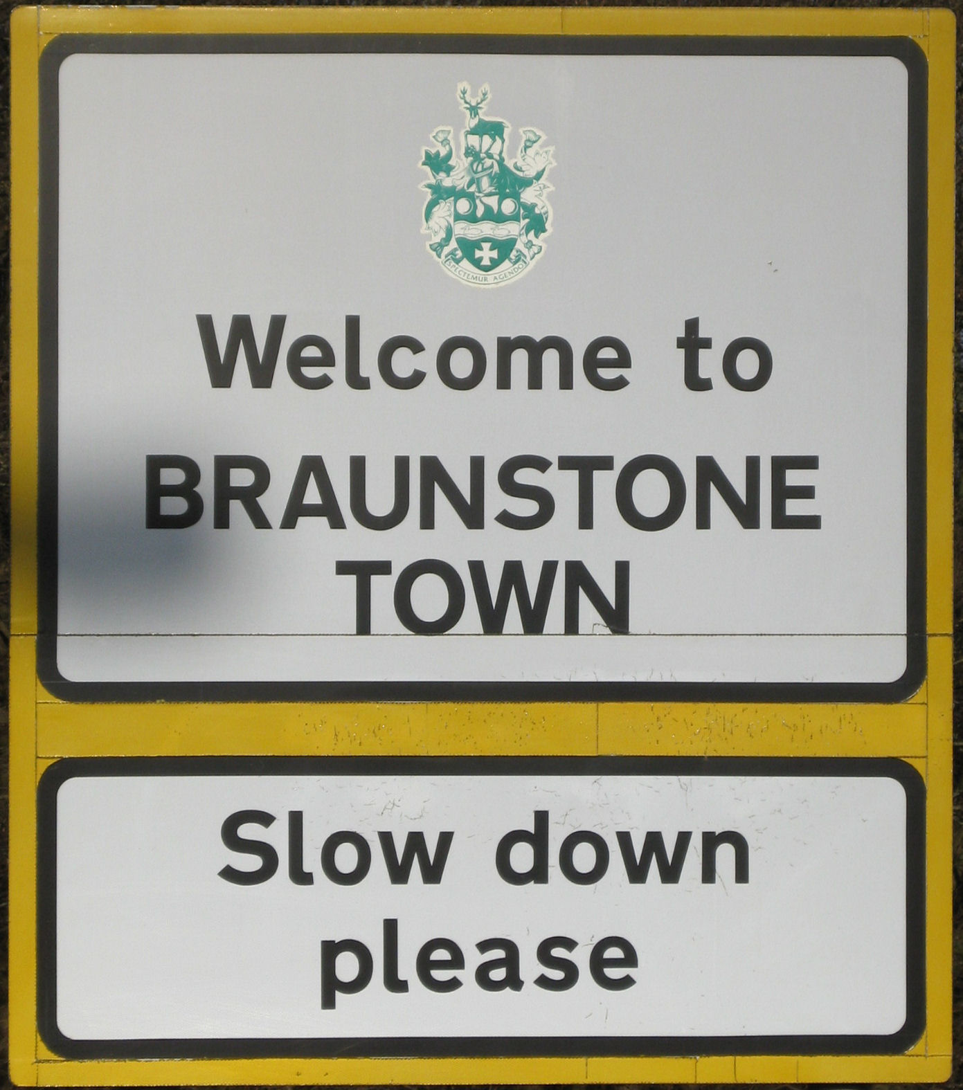
Braunstone is a civil parish and is the largest parish within the district of Blaby in Leicestershire, England, now known as the Town of Braunstone or more commonly, Braunstone Town. In 2007 the population was around 15,000. There are around 7,500 households including Thorpe Astley. At the 2011 census the population of the civil parish had increased to 16,850. Braunstone is mentioned in the Domesday Book of 1086, giving a population of "two sokemen and four villeins". The village remained a small settlement (population 238 in 1921) until 1925 when the Leicester Corporation compulsorily purchased the bulk of the Winstanley Braunstone Hall estate. It is just outside the city boundary of Leicester, and the part of the old civil parish now inside the city boundary is also called Braunstone. This part of the parish, which contains a large council estate was detached in 1935 from the Blaby district and Braunstone Parish to become part of the county borough of Leicester, hence the ... [...More Info...] [...Related Items...] OR: [Wikipedia] [Google] [Baidu] |
Wigston Parva
Wigston Parva is a hamlet and civil parish in the Blaby district of Leicestershire, England. The parish has a population of about 30. It is very near the county boundary with Warwickshire. Nearby places include Smockington, and Sharnford. The population of the hamlet at the 2011 census was included in the civil parish In England, a civil parish is a type of administrative parish used for local government. It is a territorial designation which is the lowest tier of local government below districts and counties, or their combined form, the unitary authority ... of Stanton and Flamville. External links Hamlets in Leicestershire Civil parishes in Leicestershire Blaby {{Leicestershire-geo-stub ... [...More Info...] [...Related Items...] OR: [Wikipedia] [Google] [Baidu] |
Stoney Stanton
Stoney Stanton is a large village in the Blaby district of Leicestershire, England with a population of over 3,454 in 2001, increasing to 3,793 at the 2011 census. It constitutes a civil parish. The village lies some five miles east of Hinckley, just to the east of the M69. Nearby villages include Croft and Sapcote. It is some ten miles from Leicester. As may be gathered from its name it is set on rocky outcrops of igneous rock, granodiorite, a fact which has had its influence on its history. Even in the eighteenth century, Parish records show that gravel and stone were being removed from Carey (or quarry) Hill in the centre of the village. That would later, in the nineteenth and twentieth centuries be quarried for its valuable stone, along with Lanes Hill (now the water-sports & diving centre known as Stoney Cove), Clint Hill, and Hall's Court. Carey Hill and Hall's Court quarries were later filled in, but Clint Hill remains, a relic of the village's industrial heritage, n ... [...More Info...] [...Related Items...] OR: [Wikipedia] [Google] [Baidu] |
Sapcote
Sapcote is a small village in the south west of Leicestershire, England, in the Sparkenhoe Hundred. It has a population of approximately 3,260, measured at the 2021 census The well-known inland scuba diving site Stoney Cove is nearby. History An early Bronze Age occupation site has been discovered here. The Roman occupation of the site, in the hinterland of the major Roman centre at Leicester (''Ratae Corieltauvorum''), was associated with the Fosse Way which passed close by, not far from its crossing with the Watling Street. It was centred upon a Roman villa with mosaic pavements and bath house, occupied continuously during the 2nd and 3rd centuries AD. Related sites in the district were at Mancetter, Barwell and Hinckley. The continuous occupation of the existing settlement had its origins in the Anglo-Saxon period, and lay within that province of the Middle Angles, centred in Leicestershire, the rule of which was granted by Penda of Mercia to his son Peada in AD 653. At ... [...More Info...] [...Related Items...] OR: [Wikipedia] [Google] [Baidu] |
Huncote
Huncote is a village and civil parish in the district of Blaby in the county of Leicestershire, England. It is just west of Narborough, and is on the Thurlaston Brook. The place-name Huncote is the etymological root of the American surnames Hunnicutt, and Honeycut. The Village The village is small but still benefits from several amenities including a village pub (The Red Lion), the Post office, a Spar shop, a Newsagent's shop, three hairdressers, a fish and chip shop, an India India, officially the Republic of India (Hindi: ), is a country in South Asia. It is the seventh-largest country by area, the second-most populous country, and the most populous democracy in the world. Bounded by the Indian Ocean on the so ...n takeaway and a local park. . At the edge of the village is Huncote Leisure Centre and further along the Forest Road, near to the M69 motorway, is the home of Leicester Animal Aid, a pet rescue centre. Huncote also has a woodyard, and a residential c ... [...More Info...] [...Related Items...] OR: [Wikipedia] [Google] [Baidu] |
Enderby, Leicestershire
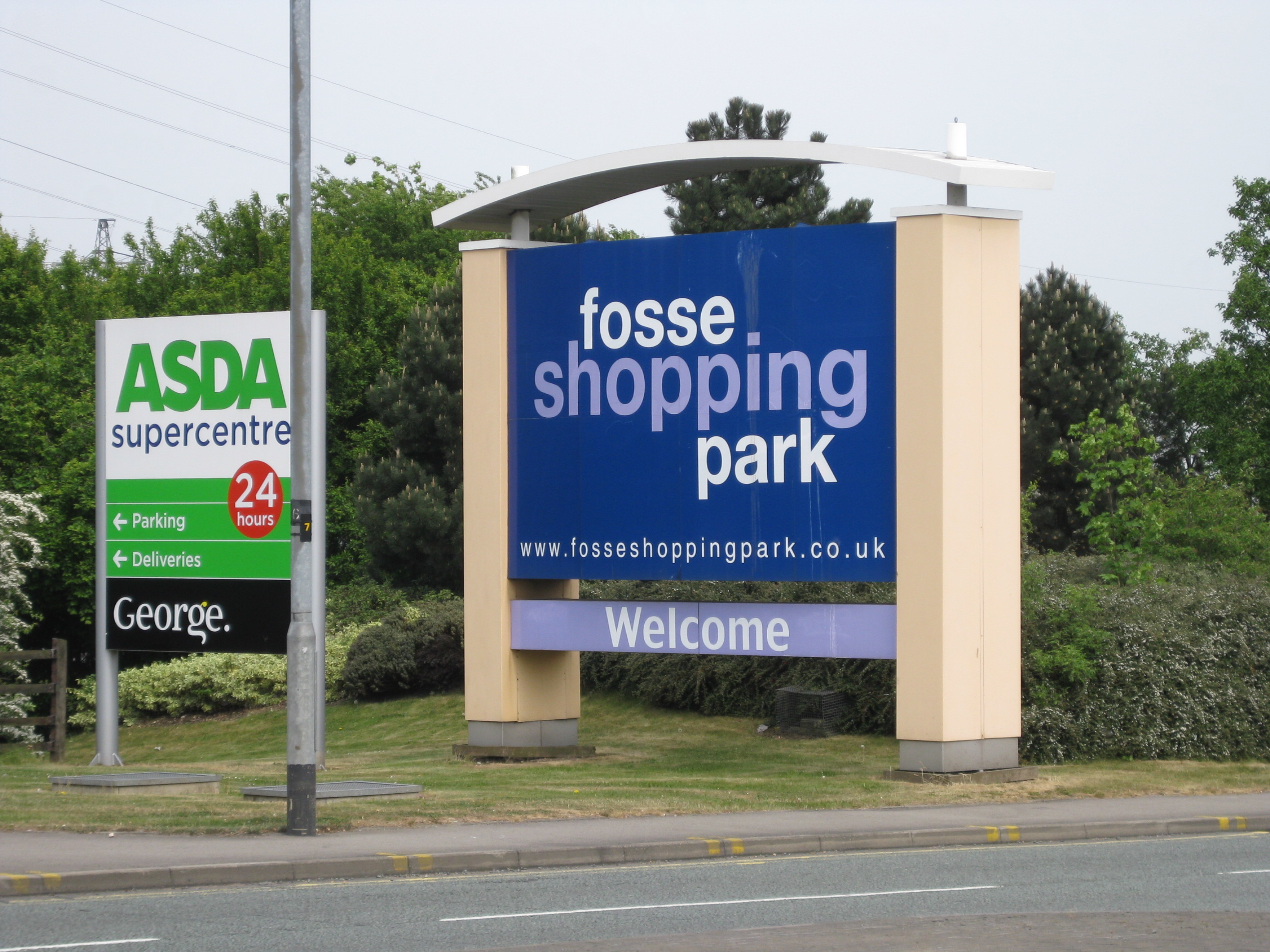
Enderby is a village and civil parish in Leicestershire, England, on the southwest outskirts of the city of Leicester. The parish includes the neighbourhood of St John's, which is east of the village separated from it by the M1 motorway. The 2011 Census recorded the parish's population as 6,314. The village's name means 'farm/settlement of Eindrithi'. The village is situated on the B4114 between Fosse Shopping Park and Narborough. The parish includes Fosse Shopping Park, Grove Park Commercial Centre and Everards Brewery. The parish is bounded by the City of Leicester and the civil parishes of Braunstone Town, Glen Parva, Lubbesthorpe, Narborough and Whetstone. The course of the Fosse Way Roman road passes through the parish. Near St John's is the deserted village of Aldeby by the River Soar. Enderby Hall was the ancestral home of the Smith family when the paternal line ended. The hall was left to Charles Loraine who took the name Charles Loraine Smith. [...More Info...] [...Related Items...] OR: [Wikipedia] [Google] [Baidu] |
Countesthorpe
Countesthorpe is a large village and civil parish in the Leicestershire district of Blaby, with a population of 6,393 (2001 census, falling slightly to 6,377 at the 2011 census. It lies to the south of Leicester, and is about from the city centre, but only two miles south of the suburb of South Wigston. Nearby places are Blaby and South Wigston to the north, Kilby to the east, Peatling Magna and Willoughby Waterleys to the south, and Broughton Astley, Cosby and Whetstone to the west. The name Countesthorpe originates from the 11th century when the area was part of the marriage dowry of the Countess Judith, niece of William the Conqueror. The 'thorpe' part of the name is a variant of the Middle English word thorp, meaning hamlet or small village. The parish church of St. Andrew was started in 1220 by the family of Lord William of Ludbrook. It was restored in 1840 and again in 1907. The 14th-century tower still remains. The village has three public houses: The Axe and ... [...More Info...] [...Related Items...] OR: [Wikipedia] [Google] [Baidu] |
Cosby, Leicestershire
Cosby is a village in the English county of Leicestershire. Cosby is located in the south of the county near the larger villages and towns of Whetstone, Blaby and Wigston. Its proximity to the city of Leicester means it is part of the Leicester Urban Area. The village is administered by Blaby District Council. Cosby has a brook which runs through the village and eventually serves as a tributary to the River Soar. The village's name probably means 'farm/settlement of Cossa'. 'Farm/settlement of Kofsi' has also been suggested. It is not known how the name originated, and it is first recorded as "Cossebi" in the Domesday Book in 1086 with 40 families living in the village. Cosby was described as a "considerable village" in 1810 (with a population of 555) by historian John Nichols. In 1991 it had a population of 3,400 and in 2001 a population of 3,489, increasing to 3,506 at the 2011 census. Cosby's 'Scandinavian' place name indicates that the village existed here several hu ... [...More Info...] [...Related Items...] OR: [Wikipedia] [Google] [Baidu] |
Civil Parish
In England, a civil parish is a type of administrative parish used for local government. It is a territorial designation which is the lowest tier of local government below districts and counties, or their combined form, the unitary authority. Civil parishes can trace their origin to the ancient system of ecclesiastical parishes, which historically played a role in both secular and religious administration. Civil and religious parishes were formally differentiated in the 19th century and are now entirely separate. Civil parishes in their modern form came into being through the Local Government Act 1894, which established elected parish councils to take on the secular functions of the parish vestry. A civil parish can range in size from a sparsely populated rural area with fewer than a hundred inhabitants, to a large town with a population in the tens of thousands. This scope is similar to that of municipalities in Continental Europe, such as the communes of France. However, ... [...More Info...] [...Related Items...] OR: [Wikipedia] [Google] [Baidu] |


