|
Saskatchewan Highway 212
{{Saskatchewan-road-stub ...
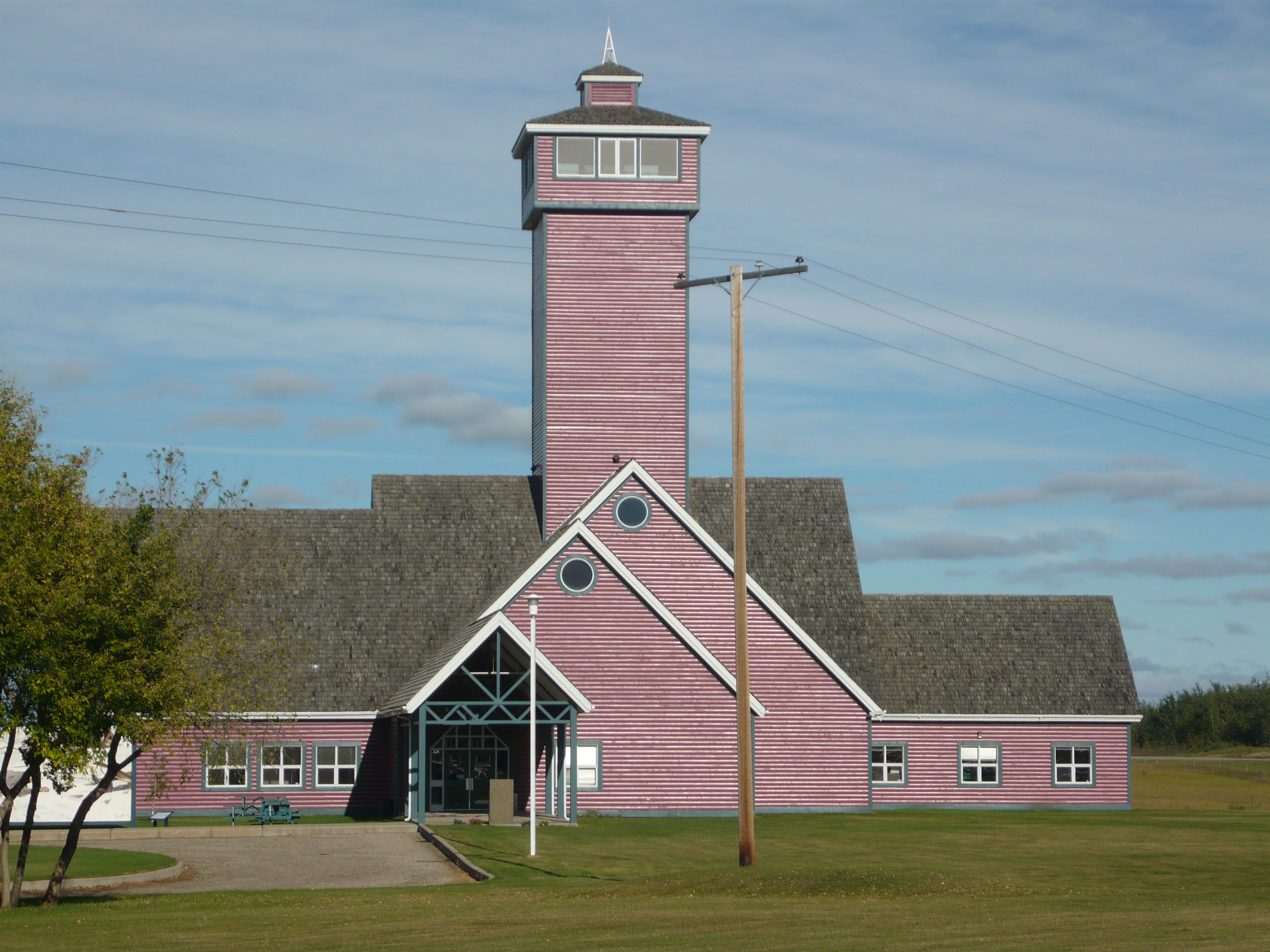
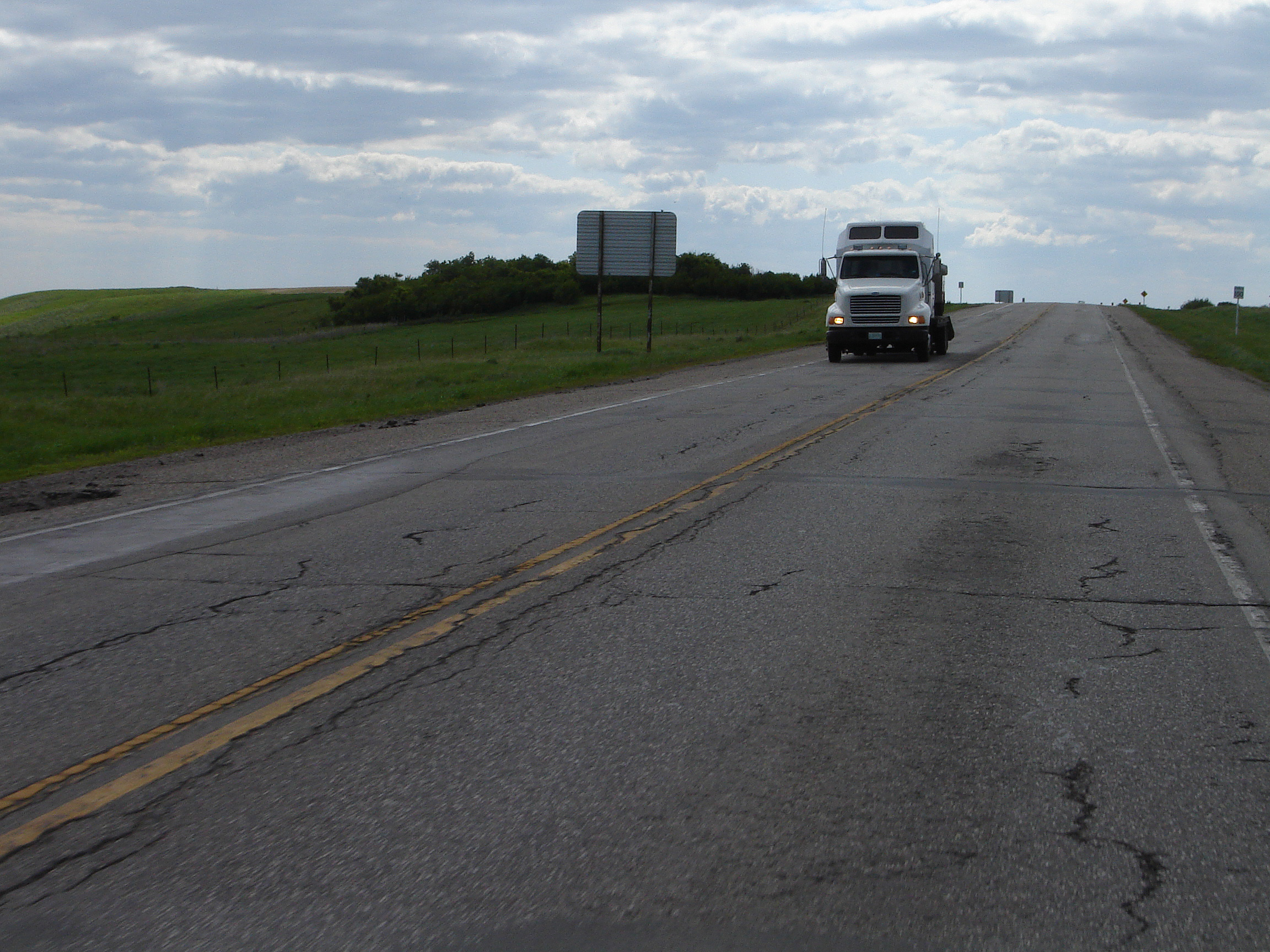
Highway 212 is a highway in the Canadian province of Saskatchewan. It runs from Highway 11/ Highway 783 near Duck Lake to the Fort Carlton Provincial Historic Park. Highway 212 is about long. Highway 212 passes through Titanic. It also connects with Highway 683. References 212 Year 212 (Roman numerals, CCXII) was a leap year starting on Wednesday (link will display the full calendar) of the Julian calendar. At the time, it was known as the Year of the Consulship of Asper and Camilius (or, less frequently, year 965 '' ... [...More Info...] [...Related Items...] OR: [Wikipedia] [Google] [Baidu] |
Duck Lake, Saskatchewan
Duck Lake is a town in the boreal forest of central Saskatchewan, Canada. Its location is north of Saskatoon and south of Prince Albert on highway 11, in the rural municipality of Duck Lake. Immediately to the north of Duck Lake is the south block of the Nisbet Provincial Forest. The First Nations people are Cree and the band government of the Beardy's and Okemasis' Cree Nation is located here. Duck Lake was home to one of the last operating schools in the Canadian Indian residential school system, the St. Michael's Indian Residential School (Duck Lake Indian Residential School), which closed in 1996. The disruption in the transmission of Cree language, culture, family systems and policy caused by the St. Michael’s Residential school created immense trauma and suffering through the generations of children and youth today who continue to seek justice by reclaiming their identity, culture, and language while supporting the survivors. History Duck Lake was one of the five ... [...More Info...] [...Related Items...] OR: [Wikipedia] [Google] [Baidu] |
Fort Carlton Provincial Historic Park
Fort Carlton was a Hudson's Bay Company fur trading post from 1795 until 1885. It was located along the North Saskatchewan River not far from Duck Lake. It is in the Canadian province of Saskatchewan and was rebuilt by the government of Saskatchewan as a feature of a provincial historic park and can be visited today. It is about 65 kilometres north of Saskatoon. History First called Carlton House, there were several historic Fort Carlton posts that operated in different periods and at three locations. Two posts were established in 1795 and 1805 respectively. A series of forts named Fort Carlton operated at a third location starting in 1810. Three locations * The first Fort Carlton (1795–1801) was built at a safer site near the old French post of Fort de la Corne in 1795 following the destruction of South Branch House. James Bird was in charge; James Sandison (Sanderson) was his assistant; and John Peter Pruden was an apprentice. From 1799 to 1801, Joseph Howse (Howes) ... [...More Info...] [...Related Items...] OR: [Wikipedia] [Google] [Baidu] |
Duck Lake No
Duck is the common name for numerous species of waterfowl in the family Anatidae. Ducks are generally smaller and shorter-necked than swans and geese, which are members of the same family. Divided among several subfamilies, they are a form taxon; they do not represent a monophyletic group (the group of all descendants of a single common ancestral species), since swans and geese are not considered ducks. Ducks are mostly aquatic birds, and may be found in both fresh water and sea water. Ducks are sometimes confused with several types of unrelated water birds with similar forms, such as loons or divers, grebes, gallinules and coots. Etymology The word ''duck'' comes from Old English 'diver', a derivative of the verb 'to duck, bend down low as if to get under something, or dive', because of the way many species in the dabbling duck group feed by upending; compare with Dutch and German 'to dive'. This word replaced Old English / 'duck', possibly to avoid confusion with ... [...More Info...] [...Related Items...] OR: [Wikipedia] [Google] [Baidu] |
Highway
A highway is any public or private road or other public way on land. It is used for major roads, but also includes other public roads and public tracks. In some areas of the United States, it is used as an equivalent term to controlled-access highway, or a translation for ''autobahn'', '' autoroute'', etc. According to Merriam Webster, the use of the term predates the 12th century. According to Etymonline, "high" is in the sense of "main". In North American and Australian English, major roads such as controlled-access highways or arterial roads are often state highways (Canada: provincial highways). Other roads may be designated "county highways" in the US and Ontario. These classifications refer to the level of government (state, provincial, county) that maintains the roadway. In British English, "highway" is primarily a legal term. Everyday use normally implies roads, while the legal use covers any route or path with a public right of access, including footpaths etc. Th ... [...More Info...] [...Related Items...] OR: [Wikipedia] [Google] [Baidu] |
Canada
Canada is a country in North America. Its ten provinces and three territories extend from the Atlantic Ocean to the Pacific Ocean and northward into the Arctic Ocean, covering over , making it the world's second-largest country by total area. Its southern and western border with the United States, stretching , is the world's longest binational land border. Canada's capital is Ottawa, and its three largest metropolitan areas are Toronto, Montreal, and Vancouver. Indigenous peoples have continuously inhabited what is now Canada for thousands of years. Beginning in the 16th century, British and French expeditions explored and later settled along the Atlantic coast. As a consequence of various armed conflicts, France ceded nearly all of its colonies in North America in 1763. In 1867, with the union of three British North American colonies through Confederation, Canada was formed as a federal dominion of four provinces. This began an accretion of provinces an ... [...More Info...] [...Related Items...] OR: [Wikipedia] [Google] [Baidu] |
Saskatchewan
Saskatchewan ( ; ) is a Provinces and territories of Canada, province in Western Canada, western Canada, bordered on the west by Alberta, on the north by the Northwest Territories, on the east by Manitoba, to the northeast by Nunavut, and on the south by the United States, U.S. states of Montana and North Dakota. Saskatchewan and Alberta are the only landlocked provinces of Canada. In 2022, Saskatchewan's population was estimated at 1,205,119. Nearly 10% of Saskatchewan’s total area of is fresh water, mostly rivers, reservoirs and List of lakes in Saskatchewan, lakes. Residents primarily live in the southern prairie half of the province, while the northern half is mostly forested and sparsely populated. Roughly half live in the province's largest city Saskatoon or the provincial capital Regina, Saskatchewan, Regina. Other notable cities include Prince Albert, Saskatchewan, Prince Albert, Moose Jaw, Yorkton, Swift Current, North Battleford, Melfort, Saskatchewan, Melfort, and ... [...More Info...] [...Related Items...] OR: [Wikipedia] [Google] [Baidu] |
Saskatchewan Highway 11
Highway 11 is a major north-south highway in Saskatchewan, Canada that connects the province's three largest cities: Regina, Saskatoon and Prince Albert. It is a structural pavement major arterial highway which is approximately long. It is also known as the Louis Riel Trail (LRT) after the 19th century Métis leader. It runs from Highway 1 (Trans-Canada Highway) in Regina until Highway 2 south of Prince Albert. Historically the southern portion between Regina and Saskatoon was Provincial Highway 11, and followed the Dominion Survey lines on the square, and the northern portion between Saskatoon and Prince Albert was Provincial Highway 12. From Regina to Saskatoon, Highway 11 is a four-lane divided highway except in the village of Chamberlain, where the road narrows to two lanes through the community, including its intersection with Highway 2 south to Moose Jaw. All intersections in this segment are at-grade except for two interchanges in the Lumsden valley and in Saskato ... [...More Info...] [...Related Items...] OR: [Wikipedia] [Google] [Baidu] |
Saskatchewan Highway 783
Saskatchewan ( ; ) is a province in western Canada, bordered on the west by Alberta, on the north by the Northwest Territories, on the east by Manitoba, to the northeast by Nunavut, and on the south by the U.S. states of Montana and North Dakota. Saskatchewan and Alberta are the only landlocked provinces of Canada. In 2022, Saskatchewan's population was estimated at 1,205,119. Nearly 10% of Saskatchewan’s total area of is fresh water, mostly rivers, reservoirs and lakes. Residents primarily live in the southern prairie half of the province, while the northern half is mostly forested and sparsely populated. Roughly half live in the province's largest city Saskatoon or the provincial capital Regina. Other notable cities include Prince Albert, Moose Jaw, Yorkton, Swift Current, North Battleford, Melfort, and the border city Lloydminster. English is the primary language of the province, with 82.4% of Saskatchewanians speaking English as their first language. Saskatchewan has ... [...More Info...] [...Related Items...] OR: [Wikipedia] [Google] [Baidu] |
Titanic, Saskatchewan
Titanic is an unincorporated community in the Rural Municipality of Duck Lake No. 463, Saskatchewan, Canada. It is midway between Saskatoon and Prince Albert National Park. History Originally settled by French Canadians and named Mourey for a local Catholic priest, its postmaster applied to have the name changed to Titanic in 1912, following the tragedy of the RMS ''Titanic'' earlier that year. It was first among nearly 30 communities across the country which petitioned the postmaster general to change their names to Titanic that same year. The name "Mourey" had been adopted just seven months prior to the disaster, so historical attachment did not run deep. A new name was to honor the ship and its passengers. The school closed in 1959, St. Anne Catholic Church closed in 1964, and the post office itself in 1967. Today, a cemetery and memorial grotto to the church that once stood can be found. See also * List of communities in Saskatchewan Communities in the Province of S ... [...More Info...] [...Related Items...] OR: [Wikipedia] [Google] [Baidu] |
Saskatchewan Highway 683
Saskatchewan ( ; ) is a province in western Canada, bordered on the west by Alberta, on the north by the Northwest Territories, on the east by Manitoba, to the northeast by Nunavut, and on the south by the U.S. states of Montana and North Dakota. Saskatchewan and Alberta are the only landlocked provinces of Canada. In 2022, Saskatchewan's population was estimated at 1,205,119. Nearly 10% of Saskatchewan’s total area of is fresh water, mostly rivers, reservoirs and lakes. Residents primarily live in the southern prairie half of the province, while the northern half is mostly forested and sparsely populated. Roughly half live in the province's largest city Saskatoon or the provincial capital Regina. Other notable cities include Prince Albert, Moose Jaw, Yorkton, Swift Current, North Battleford, Melfort, and the border city Lloydminster. English is the primary language of the province, with 82.4% of Saskatchewanians speaking English as their first language. Saskatchewan has ... [...More Info...] [...Related Items...] OR: [Wikipedia] [Google] [Baidu] |


.jpg)

