|
Salmannsdorf
Salmannsdorf (Central Bavarian: ''Salmaunsduaf'') is a part of Döbling, the 19th district of Vienna. Wien.gv.at webpage (see below: References). Salmannsdorf was an independent municipality until 1892, when it was incorporated into the Währing district of the city of Vienna. However, in 1938, Salmannsdorf was reassigned together with Neustift am Walde to the district of Döbling. Salmannsdorf lies along the western border of Sievering. It is one of the 10 municipalities in the district of Döbling. Geography Salmannsdorf is located in the northwest of Vienna and is part of the district of Döbling. Salmannsdorf lies on the southern slope of Dreimarkstein hill, in the valley of the Krottenbach stream. The ''Katastralgemeinde'' stretches across an area of 66.05 hectares. The region is part of the statistical census-district of Salmannsdorf-Glanzing. In the south, Salmannsdorf borders on Neustift am Walde; in the east, on Obersievering. The border in the west divides it f ... [...More Info...] [...Related Items...] OR: [Wikipedia] [Google] [Baidu] |
Neustift Am Walde
Until 1892 Neustift am Walde (Central Bavarian: ''Neistift aum Woid'') was an independent municipality in the outskirts of Vienna, Austria and is today a part of Döbling, the 19th district of Vienna. It is also one of the 89 Katastralgemeinden. Geography Neustift covers an area of 209.85 hectares, of which over one fourth (58 hectares) - largely made up of the Dorotheer Wald (forest) and the Neustifter Friedhof (cemetery) - lie in the district of Währing, while the section of Neustift in Döbling (151.85 hectares) includes ''inter alia'' the centre of the original settlement.''Ortsverzeichnis 2001 Wien'', (Vienna: Statistik Austria, 2005) 83-85 Neustift lies to the northwest of Pötzleinsdorf, to the west of Sievering, to the east of Neuwaldegg and to the southeast of Salmannsdorf. The village comprises two long rows of houses, separated from one another by a narrow road that follows the upper section of the Krottenbach stream. A road connects Neustift am Walde with Salma ... [...More Info...] [...Related Items...] OR: [Wikipedia] [Google] [Baidu] |
Döbling
Döbling () is the 19th District A district is a type of administrative division that, in some countries, is managed by the local government. Across the world, areas known as "districts" vary greatly in size, spanning regions or counties, several municipalities, subdivisions o ... in the city of Vienna, Austria (german: 19. Bezirk, Döbling, Doebling). It is located on the north end from the central districts, north of the districts Alsergrund and Währing. Döbling has some heavily populated urban areas with many residential buildings, and borders the Vienna Woods. Statistik Austria, 2008, website: (in German: population is "Einwohner"). Wien.gv.at webpage (see below: References). It hosts some of the most expensive residential areas such as Grinzing, Sievering, Neustift am Walde and Kaasgraben and is also the site of many ''Heurigen'' restaurants. There are also some large ''Gemeindebauten'', including Vienna's most famous, the Karl-Marx-Hof. Also located in Döbling is ... [...More Info...] [...Related Items...] OR: [Wikipedia] [Google] [Baidu] |
Währing
Währing () is the 18th district of Vienna and lies in northwestern Vienna on the edge of the Vienna Woods. It was formed in 1892 from the unification of the older suburbs of Währing, Weinhaus, Gersthof, Pötzleinsdorf, Neustift am Walde and Salmannsdorf. In 1938 Neustift am Walde and Salmannsdorf were annexed to the neighbouring 19th District (Döbling). Geography Location Währing covers 6.28 km2 in northwestern Vienna on the slopes of the Wienerwald between the Gürtel and the Höhenstraße. The district ascends from the steep banks of the (now channeled and enclosed) Währinger Stream on both sides. It is bordered to the north by the 19th District (Döbling), to the east by the 9th District (Alsergrund) and to the south and west by the 17th District (Hernals). Geology Währing lies between two ridges to the north and south. The hills of Schafsberg and Michaelerberg belong to the Wienerwald and form part of the boundary of the Vienna Basin. The hills in Wä ... [...More Info...] [...Related Items...] OR: [Wikipedia] [Google] [Baidu] |
Währing (suburb)
Währing () is the 18th district of Vienna and lies in northwestern Vienna on the edge of the Vienna Woods. It was formed in 1892 from the unification of the older suburbs of Währing, Weinhaus, Gersthof, Pötzleinsdorf, Neustift am Walde and Salmannsdorf. In 1938 Neustift am Walde and Salmannsdorf were annexed to the neighbouring 19th District (Döbling). Geography Location Währing covers 6.28 km2 in northwestern Vienna on the slopes of the Wienerwald between the Gürtel and the Höhenstraße. The district ascends from the steep banks of the (now channeled and enclosed) Währinger Stream on both sides. It is bordered to the north by the 19th District (Döbling), to the east by the 9th District (Alsergrund) and to the south and west by the 17th District (Hernals). Geology Währing lies between two ridges to the north and south. The hills of Schafsberg and Michaelerberg belong to the Wienerwald and form part of the boundary of the Vienna Basin. The hills in W� ... [...More Info...] [...Related Items...] OR: [Wikipedia] [Google] [Baidu] |
Vienna
en, Viennese , iso_code = AT-9 , registration_plate = W , postal_code_type = Postal code , postal_code = , timezone = CET , utc_offset = +1 , timezone_DST = CEST , utc_offset_DST = +2 , blank_name = Vehicle registration , blank_info = W , blank1_name = GDP , blank1_info = € 96.5 billion (2020) , blank2_name = GDP per capita , blank2_info = € 50,400 (2020) , blank_name_sec1 = HDI (2019) , blank_info_sec1 = 0.947 · 1st of 9 , blank3_name = Seats in the Federal Council , blank3_info = , blank_name_sec2 = GeoTLD , blank_info_sec2 = .wien , website = , footnotes = , image_blank_emblem = Wien logo.svg , blank_emblem_size = Vienna ( ; german: Wien ; ba ... [...More Info...] [...Related Items...] OR: [Wikipedia] [Google] [Baidu] |
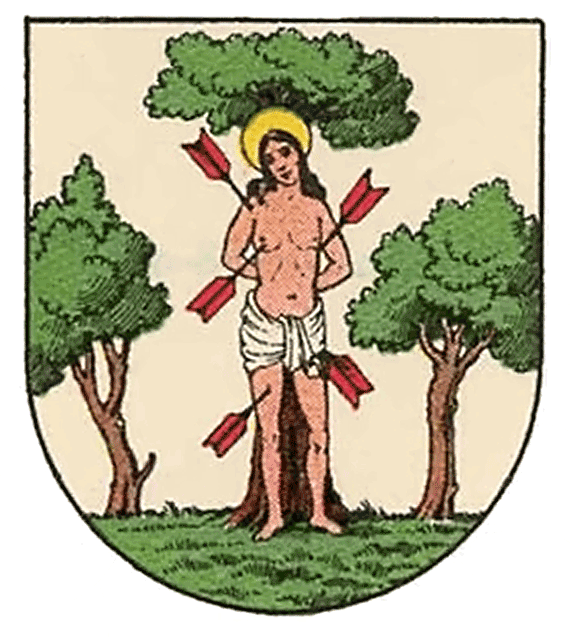
AUT Salmannsdorf COA
AUT may refer to the following. Locations *Austria (ISO 3166-1 country code) * Agongointo-Zoungoudo Underground Town, Benin *Aktio–Preveza Undersea Tunnel, Greece *Airstrip on Atauro Island, East Timor (IATA airport code) Organizations *Arriva UK Trains *Association of University Teachers, a former British trade union *Aut Even Hospital, Ireland Education *Amirkabir University of Technology, Iran *Auckland University of Technology, New Zealand *Aristotle University of Thessaloniki, Greece *American University of Technology, Lebanon *Association of University Teachers a former trade union in the United Kingdom Computing *Advanced and application unit testing, test techniques in computer programming *Application under test, in software testing, the software that is to be tested (by other software) *''Atlantis Underwater Tycoon'', a computer game *'' Autonomous Things'', technologies that bring autonomous computers into the physical environment Other fields *An automorphi ... [...More Info...] [...Related Items...] OR: [Wikipedia] [Google] [Baidu] |
Plague (disease)
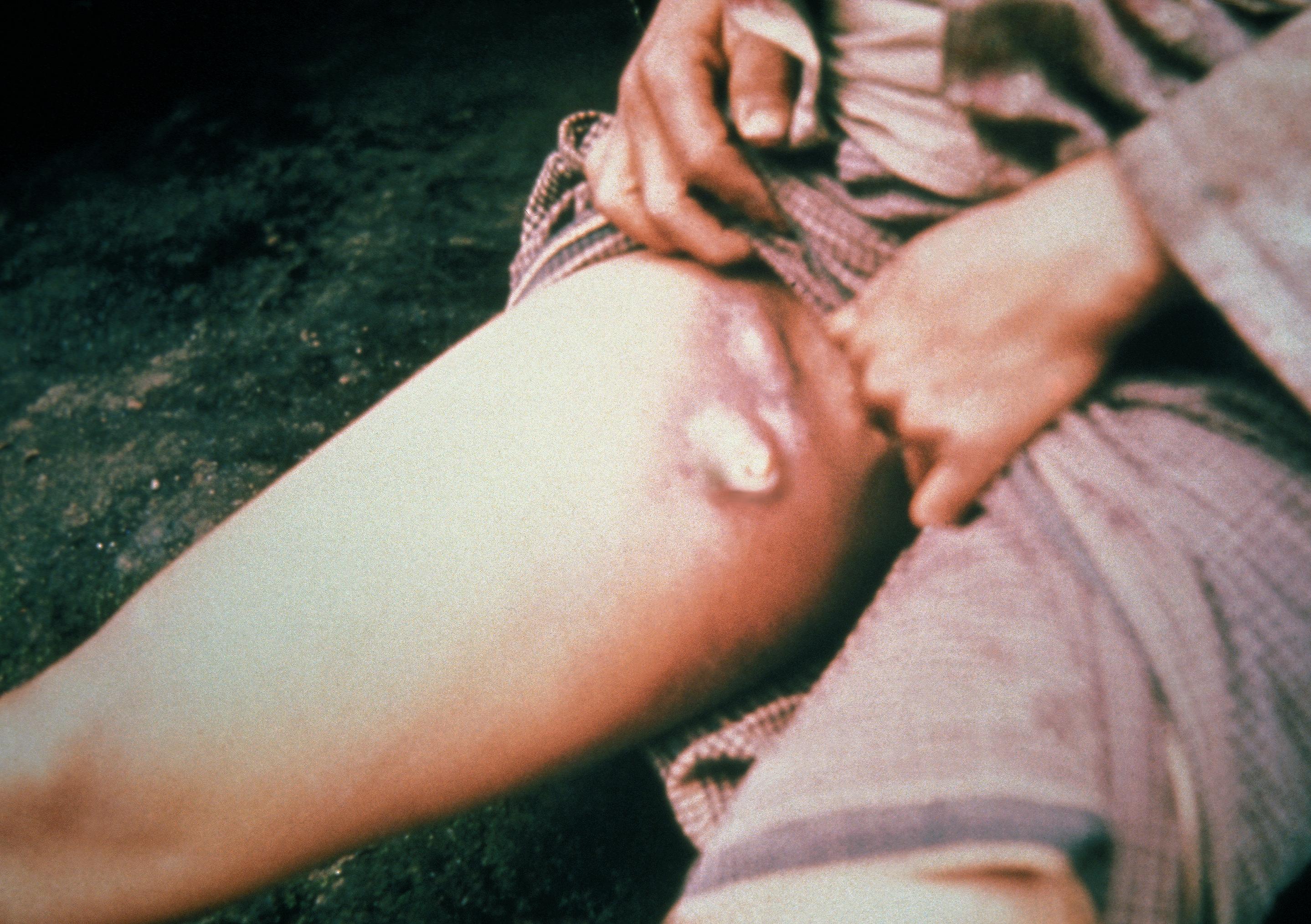
Plague is an infectious disease caused by the bacterium ''Yersinia pestis''. Symptoms include fever, weakness and headache. Usually this begins one to seven days after exposure. There are three forms of plague, each affecting a different part of the body and causing associated symptoms. Pneumonic plague infects the lungs, causing shortness of breath, coughing and chest pain; bubonic plague affects the lymph nodes, making them swell; and septicemic plague infects the blood and can cause tissues to turn black and die. The bubonic and septicemic forms are generally spread by flea bites or handling an infected animal, whereas pneumonic plague is generally spread between people through the air via infectious droplets. Diagnosis is typically by finding the bacterium in fluid from a lymph node, blood or sputum. Those at high risk may be vaccinated. Those exposed to a case of pneumonic plague may be treated with preventive medication. If infected, treatment is with antibiotic ... [...More Info...] [...Related Items...] OR: [Wikipedia] [Google] [Baidu] |
Wiener Linien
Wiener Linien (Viennese Lines) is the company running most of the public transit network in the city of Vienna, Austria. It is part of the city corporation Wiener Stadtwerke Holding AG. Governing structure and statistics Until decentralisation on 11 June 1999, Wiener Linien was ''Wiener Stadtwerke – Verkehrsbetriebe'', a directly administered subsidiary of the Vienna city government as they had been for over a hundred years. They are still under city control as part of the responsibilities of the City Administrator for Finance, Economics, Work, International affairs and Wiener Stadtwerke, currently Peter Hanke. As of 2009, Wiener Linien employ approximately 8,000 people and serve approximately 812 million passengers. Ridership numbers have climbed since the 1970s and now exceeds those of 2005 by approximately 60 million. The number of annual season ticket holders has risen to a new record of 334,577, of whom approximately one third are seniors. 24% of all passengers are scho ... [...More Info...] [...Related Items...] OR: [Wikipedia] [Google] [Baidu] |
Heurige
In eastern Austria, a ''Heuriger'' (; Austrian dialect pronunciation: Heiriga) is a tavern where local winemakers serve their new wine under a special licence in alternate months during the growing season. The ''Heurige'' are renowned for their atmosphere of ''Gemütlichkeit'' shared among a throng enjoying young wine, simple food, and - in some places - '' Schrammelmusik''. They correspond to the '' Straußwirtschaften'' in the German Rheinland, the ''Frasche'' in Friuli-Venezia Giulia, and ''Osmica'' in Slovenia. ''Heuriger'' is the abbreviation of "heuriger Wein" (this year's wine) in Austrian and Bavarian German. Originally, they were simple open-air taverns on the premises of winemakers, where people would bring along food and drink the new wine. Nowadays, the taverns are often situated at a distance from the wineyards and offer both food and drinks. ''Heurige'' where apple or pear cider is served are called ''Mostheurige''. In the well-known wine-growing areas of the city of ... [...More Info...] [...Related Items...] OR: [Wikipedia] [Google] [Baidu] |
Klosterneuburg Monastery
Klosterneuburg Abbey or Monastery (german: Stift Klosterneuburg) is a twelfth-century Augustinian monastery of the Roman Catholic Church located in the town of Klosterneuburg in Lower Austria. Overlooking the Danube, just north of the Vienna city limits at the Leopoldsberg, the monastery was founded in 1114 by Saint Leopold III of Babenberg, the patron saint of Austria, and his second wife Agnes of Germany. The abbey church, dedicated the Nativity of Mary (''Maria Geburt''), was consecrated in 1136 and remodeled in the Baroque style in the seventeenth century. The impressive monastery complex was mostly constructed between 1730 and 1834. Its foundations, including a castle tower and a Gothic chapel, date back to the twelfth century. Other older buildings still extant within the complex include the chapel of 1318 with Saint Leopold's tomb. From 1634 on, the Habsburg rulers had the facilities rebuilt in the Baroque style, continued by the architects Jakob Prandtauer and Donato Feli ... [...More Info...] [...Related Items...] OR: [Wikipedia] [Google] [Baidu] |


