|
Währing
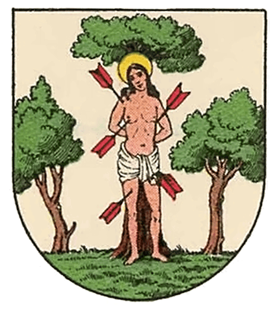
Währing () is the 18th district of Vienna and lies in northwestern Vienna on the edge of the Vienna Woods. It was formed in 1892 from the unification of the older suburbs of Währing, Weinhaus, Gersthof, Pötzleinsdorf, Neustift am Walde and Salmannsdorf. In 1938 Neustift am Walde and Salmannsdorf were annexed to the neighbouring 19th District (Döbling). Geography Location Währing covers 6.28 km2 in northwestern Vienna on the slopes of the Wienerwald between the Gürtel and the Höhenstraße. The district ascends from the steep banks of the (now channeled and enclosed) Währinger Stream on both sides. It is bordered to the north by the 19th District (Döbling), to the east by the 9th District (Alsergrund) and to the south and west by the 17th District (Hernals). Geology Währing lies between two ridges to the north and south. The hills of Schafsberg and Michaelerberg belong to the Wienerwald and form part of the boundary of the Vienna Basin. The hills in Wä ... [...More Info...] [...Related Items...] OR: [Wikipedia] [Google] [Baidu] |
Neustift Am Walde
Until 1892 Neustift am Walde (Central Bavarian: ''Neistift aum Woid'') was an independent municipality in the outskirts of Vienna, Austria and is today a part of Döbling, the 19th district of Vienna. It is also one of the 89 Katastralgemeinden. Geography Neustift covers an area of 209.85 hectares, of which over one fourth (58 hectares) - largely made up of the Dorotheer Wald (forest) and the Neustifter Friedhof (cemetery) - lie in the district of Währing, while the section of Neustift in Döbling (151.85 hectares) includes ''inter alia'' the centre of the original settlement.''Ortsverzeichnis 2001 Wien'', (Vienna: Statistik Austria, 2005) 83-85 Neustift lies to the northwest of Pötzleinsdorf, to the west of Sievering, to the east of Neuwaldegg and to the southeast of Salmannsdorf. The village comprises two long rows of houses, separated from one another by a narrow road that follows the upper section of the Krottenbach stream. A road connects Neustift am Walde with Salma ... [...More Info...] [...Related Items...] OR: [Wikipedia] [Google] [Baidu] |
Alsergrund
Alsergrund (; Central Bavarian: ''Oisagrund'') is the ninth district of Vienna, Austria (german: 9. Bezirk, Alsergrund). It is located just north of the first, central district, Innere Stadt. Alsergrund was incorporated in 1862, with seven suburbs. As a central district, the area is densely populated. According to the census of 2001, there were 37,816 inhabitants over 2.99 square km (1.15 sq. mi). Many departments of the University of Vienna (main university), TU Wien and the University of Natural Resources and Life Sciences, Vienna, University of Natural Resources and Life Sciences (BOKU) are located in Alsergrund. Until 2013 the University of Economics and Business (Wirtschaftsuniversität Wien) was also located in the 9th district, but eventually moved to the Leopoldstadt, 2nd district. There are also many large hospitals, including the biggest in Vienna, the AKH (''Allgemeines Krankenhaus'', German language, German for ''General Hospital''). Alsergrund is associated with many n ... [...More Info...] [...Related Items...] OR: [Wikipedia] [Google] [Baidu] |
Gürtel, Vienna
The Gürtel () is a substantial city road of Vienna. Running parallel to the famous Vienna Ring Road, it encompasses the inner city districts (''Innenbezirke'') and follows the route of the former ''Linienwall'' outer fortification. The city's red-light district is situated around the Gürtel. History The Gürtel was laid out from 1873 at the site of the former ''Linienwall'' fortification, built under Emperor Leopold I at the beginning of the 18th century to protect his residence from kuruc invasions in the course of Rákóczi's War for Independence. After World War I, the road became the construction site for several public housing estates (''Gemeindebauten'') in the era of Red Vienna. As in most parts of Austria-Hungary, vehicles formerly moved on the left, like in Britain, until after the Anschluss in 1938. According to German regulations, traffic in Vienna was redirected to pass on the right as elsewhere on the Continent. Plans developed in the 1960s and 70s to rebuild t ... [...More Info...] [...Related Items...] OR: [Wikipedia] [Google] [Baidu] |
Salmannsdorf
Salmannsdorf (Central Bavarian: ''Salmaunsduaf'') is a part of Döbling, the 19th district of Vienna. Wien.gv.at webpage (see below: References). Salmannsdorf was an independent municipality until 1892, when it was incorporated into the Währing district of the city of Vienna. However, in 1938, Salmannsdorf was reassigned together with Neustift am Walde to the district of Döbling. Salmannsdorf lies along the western border of Sievering. It is one of the 10 municipalities in the district of Döbling. Geography Salmannsdorf is located in the northwest of Vienna and is part of the district of Döbling. Salmannsdorf lies on the southern slope of Dreimarkstein hill, in the valley of the Krottenbach stream. The ''Katastralgemeinde'' stretches across an area of 66.05 hectares. The region is part of the statistical census-district of Salmannsdorf-Glanzing. In the south, Salmannsdorf borders on Neustift am Walde; in the east, on Obersievering. The border in the west divides it f ... [...More Info...] [...Related Items...] OR: [Wikipedia] [Google] [Baidu] |
Döbling
Döbling () is the 19th District A district is a type of administrative division that, in some countries, is managed by the local government. Across the world, areas known as "districts" vary greatly in size, spanning regions or counties, several municipalities, subdivisions o ... in the city of Vienna, Austria (german: 19. Bezirk, Döbling, Doebling). It is located on the north end from the central districts, north of the districts Alsergrund and Währing. Döbling has some heavily populated urban areas with many residential buildings, and borders the Vienna Woods. Statistik Austria, 2008, website: (in German: population is "Einwohner"). Wien.gv.at webpage (see below: References). It hosts some of the most expensive residential areas such as Grinzing, Sievering, Neustift am Walde and Kaasgraben and is also the site of many ''Heurigen'' restaurants. There are also some large ''Gemeindebauten'', including Vienna's most famous, the Karl-Marx-Hof. Also located in Döbling is ... [...More Info...] [...Related Items...] OR: [Wikipedia] [Google] [Baidu] |
Heinrich Maier
Heinrich Maier (; 16 February 1908 – 22 March 1945) was an Austrian Roman Catholic priest, pedagogue, philosopher and a member of the Austrian resistance, who was executed as the last victim of Hitler's régime in Vienna. The resistance group he led is considered to be one of the most important for the Allies during World War II. Early life Heinrich Maier was born on 16 February 1908 at Großweikersdorf. His father, also named Heinrich Maier, was an official on the Imperial Royal Austrian State Railways. His mother Katharina Maier, born Giugno (apparently from the Italian-speaking part of Austria-Hungary), was the daughter of a policeman. His sister was born in 1910 near Gmünd. His sister was educated by his grandmother and his aunt in Moravia. He received strong financial support from his relative Gabriele Maier. His early education was at a Volksschule. He then was sent to a Gymnasium in Sankt Pölten between 1918-1923. Maier then went to a Gymnasium in Leoben from 192 ... [...More Info...] [...Related Items...] OR: [Wikipedia] [Google] [Baidu] |
Hernals
Hernals (; Viennese German: Hernois) is the 17th district of Vienna, Austria (german: 17. Bezirk, Hernals). Hernals is in northwest Vienna.Statistik Austria, 2007, webpagestatistik.at-23450. Wien.gv.at webpage (see below: References). It was annexed in 1892 out of the townships of Hernals, Dornbach, and Neuwaldegg. Geography The district of Hernals stretches out along the canals of the Als River west of Vienna between the Wienerwald (Vienna Forest) and the Gürtel (a main street around inner Vienna). The Als is the second-longest stream (the longest is the Wien River) to flow from the Wienerwald into the Danube. The highest point, at 464 meters, is Heuberg. The original ''Vororte'' of Hernals, Dornbach, and Neuwaldegg were annexed in 1892 and form the heart of the 17th district. The houses in the central areas were built around the turn of the 19th–20th centuries during the Gründerzeit. Further out, the original farmer houses remain, often with gardens and villas a ... [...More Info...] [...Related Items...] OR: [Wikipedia] [Google] [Baidu] |
Districts Of Vienna
The districts of Vienna (German: ''Wiener Gemeindebezirke'') are the 23 named city sections of Vienna, Austria, which are numbered for easy reference. They were created from 1850 onwards, when the city area was enlarged by the inclusion of surrounding communities. Although they fill a similar role, Vienna's municipal districts are not administrative districts (''Bezirke'') as defined by the federal constitution; Vienna is a statutory city and as such is a single administrative district in its entirety. The seats of ''Bezirksvorsteher'' (political district head) and ''Bezirksvertretung'' (district assembly) are located in the respective districts, with the exception of the 14th district, whose political representatives reside in the 13th district (to which much of the 14th had belonged until 1938). The ''Magistratisches Bezirksamt'' (district office of the city administration, not headed by the political district head) in four locations combines services for two districts: :* for th ... [...More Info...] [...Related Items...] OR: [Wikipedia] [Google] [Baidu] |
Austrian Wine
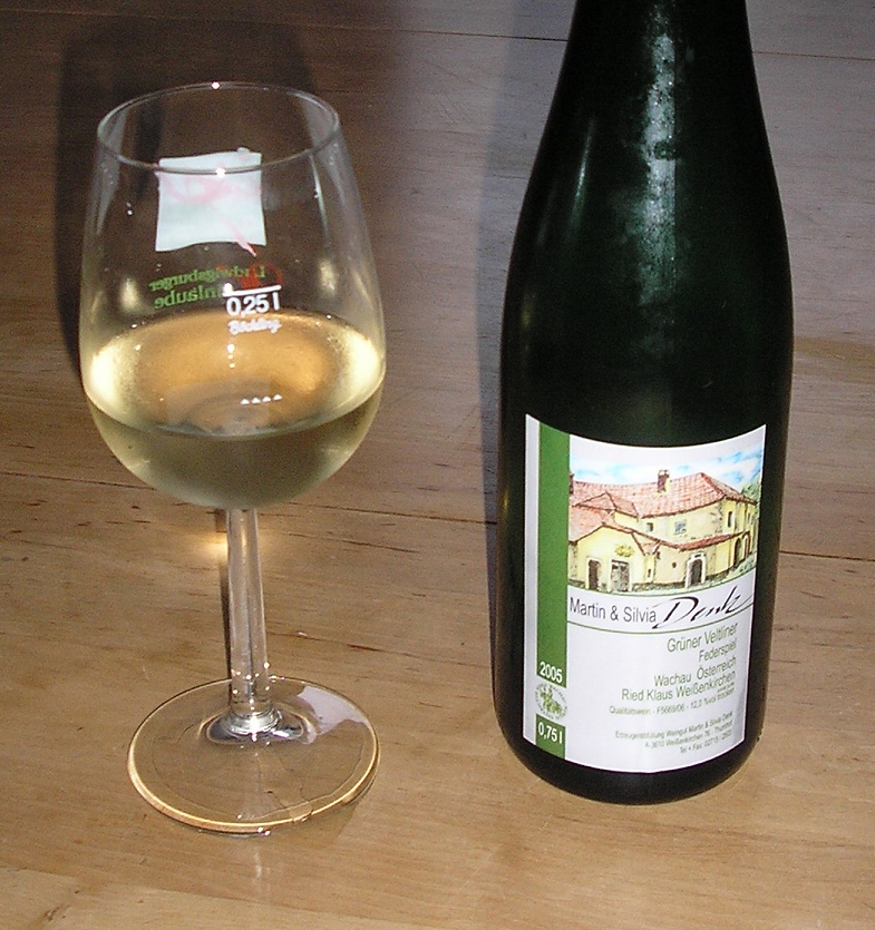
Austrian wines are mostly dry white wines (often made from the Grüner Veltliner grape), though some sweeter white wines (such as dessert wines made around the Neusiedler See) are also produced. About 30% of the wines are red, made from Blaufränkisch (also known as Lemberger, or as Kékfrankos in neighbouring Hungary), Pinot noir and locally bred varieties such as Zweigelt. Four thousand years of winemaking history counted for little after the " antifreeze scandal" of 1985, when it was revealed that some wine brokers had been adulterating their wines with diethylene glycol. The scandal destroyed the market for Austrian wine and compelled Austria to tackle low standards of bulk wine production, and reposition itself as a producer of quality wines. The country is also home to Riedel, makers of some of the most expensive wine glasses in the world. Some of the best producers of Austria include Weingut Bründlmayer, Weingut F.X. Pichler and Weingut Franz Hirtzberger, Weingut Hu ... [...More Info...] [...Related Items...] OR: [Wikipedia] [Google] [Baidu] |
Limestone
Limestone ( calcium carbonate ) is a type of carbonate sedimentary rock which is the main source of the material lime. It is composed mostly of the minerals calcite and aragonite, which are different crystal forms of . Limestone forms when these minerals precipitate out of water containing dissolved calcium. This can take place through both biological and nonbiological processes, though biological processes, such as the accumulation of corals and shells in the sea, have likely been more important for the last 540 million years. Limestone often contains fossils which provide scientists with information on ancient environments and on the evolution of life. About 20% to 25% of sedimentary rock is carbonate rock, and most of this is limestone. The remaining carbonate rock is mostly dolomite, a closely related rock, which contains a high percentage of the mineral dolomite, . ''Magnesian limestone'' is an obsolete and poorly-defined term used variously for dolomite, for limes ... [...More Info...] [...Related Items...] OR: [Wikipedia] [Google] [Baidu] |


.jpg)

