|
Sabkhat Ghuzayyil
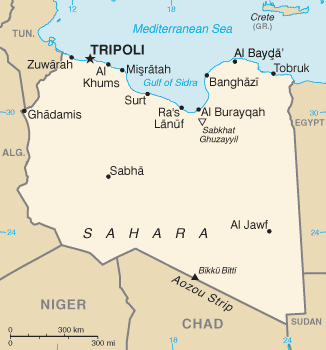
Sabkhat Ghuzayyil is Libya's lowest point at 47 meters (154 feet) below sea level, and is just southeast of the Gulf of Sidra. It is located in the Al Wahat District of the Cyrenaica region in northeastern Libya. The area is dry today but in the Holocene Wet Phase it was flooded. Ajdabiya is the main city in the area which is located just northeast of the coastal areas below sea level. Brega Brega , also known as ''Mersa Brega'' or ''Marsa al-Brega'' ( ar, مرسى البريقة , i.e. "Brega Seaport"), is a complex of several smaller towns, industry installations and education establishments situated in Libya on the Gulf of Sidra, ... is a smaller city located more westerly near the shore and is wedged between the sea and these low-lying lands. Geography of Libya Al Wahat District Lowest points {{Libya-geo-stub ... [...More Info...] [...Related Items...] OR: [Wikipedia] [Google] [Baidu] |
Libya
Libya (; ar, ليبيا, Lībiyā), officially the State of Libya ( ar, دولة ليبيا, Dawlat Lībiyā), is a country in the Maghreb region in North Africa. It is bordered by the Mediterranean Sea to the north, Egypt to Egypt–Libya border, the east, Sudan to Libya–Sudan border, the southeast, Chad to Chad–Libya border, the south, Niger to Libya–Niger border, the southwest, Algeria to Algeria–Libya border, the west, and Tunisia to Libya–Tunisia border, the northwest. Libya is made of three historical regions: Tripolitania, Fezzan, and Cyrenaica. With an area of almost 700,000 square miles (1.8 million km2), it is the fourth-largest country in Africa and the Arab world, and the List of countries and outlying territories by total area, 16th-largest in the world. Libya has the List of countries by proven oil reserves, 10th-largest proven oil reserves in the world. The largest city and capital, Tripoli, Libya, Tripoli, is located in western Libya and contains over ... [...More Info...] [...Related Items...] OR: [Wikipedia] [Google] [Baidu] |
Below Sea Level
This is a list of places on land below mean sea level. Places artificially created such as tunnels, mines, basements, and dug holes, or places under water, or existing temporarily as a result of ebbing of sea tide etc., are not included. Places where seawater and rainwater is pumped away are included. Fully natural places below sea level require a dry climate; otherwise, rain would exceed evaporation and fill the area. All figures are in meters below mean sea level (as locally defined), arranged by depth, lowest first: Africa Antarctica Asia Europe North America Oceania South America Historic and ice-covered areas Deeper and larger than any of the trenches in the list above is the Bentley Subglacial Trench in Antarctica, at a depth of . It is subglacial, covered permanently by the largest glacier in the world. Therefore, it is not included in any list on the page. If the ice melted it would be covered by sea. The biggest dry land area bel ... [...More Info...] [...Related Items...] OR: [Wikipedia] [Google] [Baidu] |
Gulf Of Sidra
The Gulf of Sidra ( ar, خليج السدرة, Khalij as-Sidra, also known as the Gulf of Sirte ( ar, خليج سرت, Khalij Surt, is a body of water in the Mediterranean Sea on the northern coast of Libya, named after the oil port of Sidra or the city of Sirte. It was also historically known as the Great Sirte or Greater Syrtis ( la, Syrtis Major; grc, Σύρτις μεγάλη; contrasting with Syrtis Minor on the coast of Tunisia). Geography The Gulf of Sidra or Sirte has been a major center for tuna fishing in the Mediterranean for centuries. It gives its name to the city of Sirte situated on its western side. The gulf measures from the promontory of Boreum (now Ras Teyonas) on the East side to the promontory of Cephalae (Ras Kasr Hamet) on the West. The greatest extension of the gulf inland is land inward and occupies an area of 57,000 square kilometres. History Ancient history Syrtis is referred to in the New Testament of the Bible, where Luke relates the Apostl ... [...More Info...] [...Related Items...] OR: [Wikipedia] [Google] [Baidu] |
Al Wahat District
Al Wahat or The Oases ( ar, الواحات ', en, The Oases), occasionally spelt ''Al Wahad'' or ''Al Wahah'' ( en, The Oasis) is one of the districts of Libya.''Statesman's Yearbook 2006'' Its capital and largest city is Ajdabiya. The district is home to much of Libya's petroleum extraction economic activity. History Traditionally Al Wahat was the western part of Cyrenaica. With the division of Libya into ten governorates in 1963, Al Wahat became part of the Misrata Governorate. In the 1973 reorganization it became part of Al Khalji Governorate. In 1983 Al Khalji was divided into a number of baladiyat (districts), with what is now Al Wahat being included in the Ajdabiya baladiyah and the Jalu baladiyah. In the 1988 reorganization, Jalu was subsumed within Ajdabiya baladiyah. The status of the area in the reorganization of 1995 which created thirteen districts is unclear; however, in the 1998 reorganization into twenty-six districts, the name "Al-Wahad" appears as a district ... [...More Info...] [...Related Items...] OR: [Wikipedia] [Google] [Baidu] |
Cyrenaica
Cyrenaica ( ) or Kyrenaika ( ar, برقة, Barqah, grc-koi, Κυρηναϊκή ��παρχίαKurēnaïkḗ parkhíā}, after the city of Cyrene), is the eastern region of Libya. Cyrenaica includes all of the eastern part of Libya between longitudes E16 and E25, including the Kufra District. The coastal region, also known as '' Pentapolis'' ("Five Cities") in antiquity, was part of the Roman province of Crete and Cyrenaica, later divided into ''Libya Pentapolis'' and ''Libya Sicca''. During the Islamic period, the area came to be known as ''Barqa'', after the city of Barca. Cyrenaica became an Italian colony in 1911. After the 1934 formation of Libya, the Cyrenaica province was designated as one of the three primary provinces of the country. During World War II, it fell under British military and civil administration from 1943 until 1951, and finally in the Kingdom of Libya from 1951 until 1963. The region that used to be Cyrenaica officially until 1963 has formed seve ... [...More Info...] [...Related Items...] OR: [Wikipedia] [Google] [Baidu] |
Holocene Wet Phase
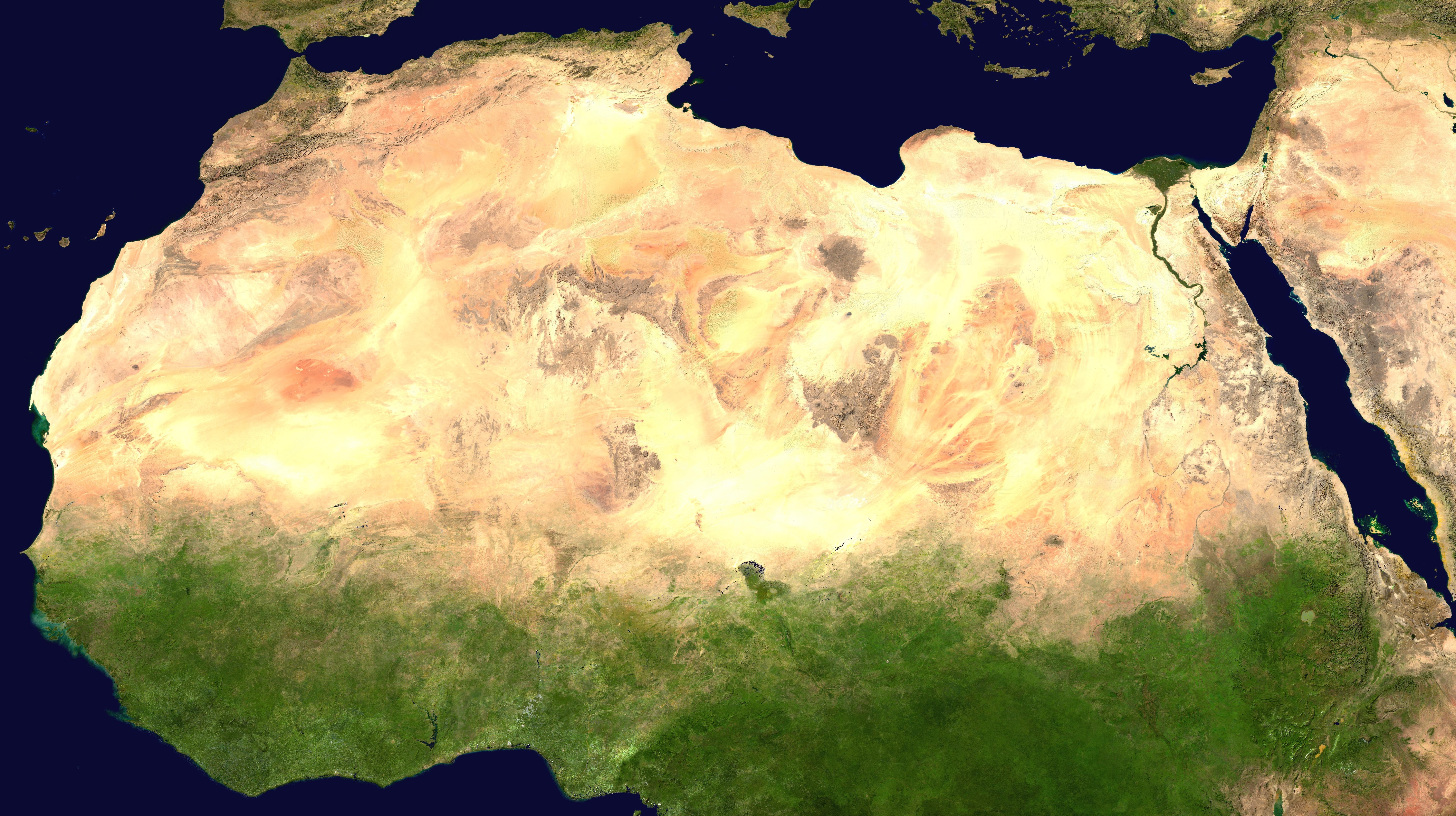
The African humid period (AHP) (also known by other names) is a climate period in Africa during the late Pleistocene and Holocene geologic epochs, when northern Africa was wetter than today. The covering of much of the Sahara desert by grasses, trees and lakes was caused by changes in Earth's orbit around the Sun; changes in vegetation and dust in the Sahara which strengthened the African monsoon; and increased greenhouse gases. During the preceding Last Glacial Maximum, the Sahara contained extensive dune fields and was mostly uninhabited. It was much larger than today, but its lakes and rivers such as Lake Victoria and the White Nile were either dry or at low levels. The humid period began about 14,600–14,500 years ago at the end of Heinrich event 1, simultaneously to the Bølling–Allerød warming. Rivers and lakes such as Lake Chad formed or expanded, glaciers grew on Mount Kilimanjaro and the Sahara retreated. Two major dry fluctuations occurred; during the Yo ... [...More Info...] [...Related Items...] OR: [Wikipedia] [Google] [Baidu] |
Ajdabiya
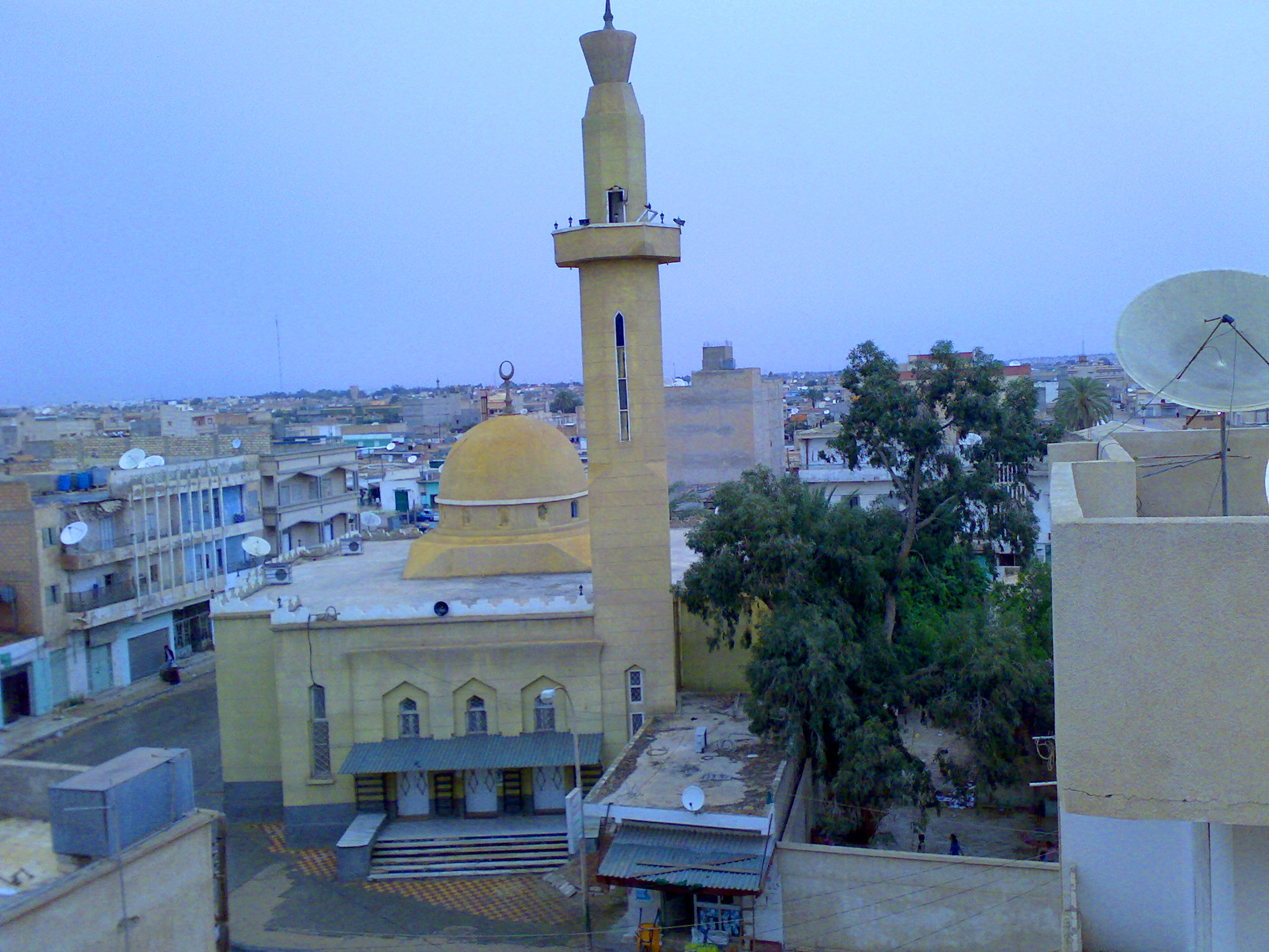
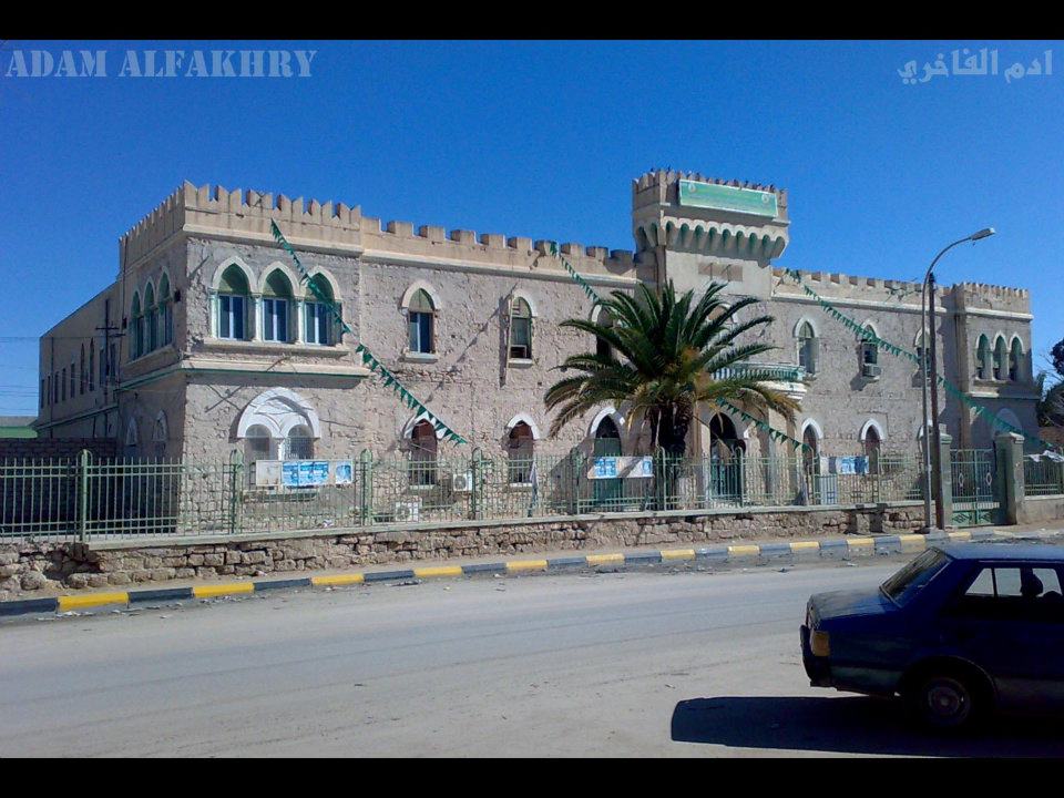
Ajdabiya ( ; ar, أجدابيا, Aǧdābiyā) is a town in and capital of the Al Wahat District in northeastern Libya. It is some south of Benghazi. From 2001 to 2007 it was part of and capital of the Ajdabiya District. The town is divided into three Basic People's Congresses: North Ajdabiya, West Ajdabiya and East Ajdabiya."شعبيات الجماهيرية العظمى " Sha'biyat of Great Jamahiriya, accessed July 6, 2007 During the , the city changed hands several times between rebels and pro-Gaddafi forces, with the anti-Gaddafi forces finally ... [...More Info...] [...Related Items...] OR: [Wikipedia] [Google] [Baidu] |
Brega
Brega , also known as ''Mersa Brega'' or ''Marsa al-Brega'' ( ar, مرسى البريقة , i.e. "Brega Seaport"), is a complex of several smaller towns, industry installations and education establishments situated in Libya on the Gulf of Sidra, the most southerly point of the Mediterranean Sea. It is located in the former Ajdabiya District, which in 2007 was merged into the Al Wahat District. The town is the center of Libya's second-largest hydro-carbon complex. During the Libyan Civil War, the town quickly fell under control of the Libyan opposition. Government forces attempted to capture the town on 2 March but were repelled; their attack on 13 March was successful, though rebels later recaptured it on 26 March. In April the rebels were again driven out of the Brega area, and a several months long stalemate formed. On 11 August 2011, the rebels claimed they had retaken the eastern part of Brega. Geography The assigned settlement near the refinery and oil terminal is known ... [...More Info...] [...Related Items...] OR: [Wikipedia] [Google] [Baidu] |
Geography Of Libya
Libya is fourth in size among the countries of Africa and sixteenth among the countries of the world. It is on the Mediterranean between Egypt and Tunisia, with Niger and Chad to the south and Sudan to the southeast. Although the oil discoveries of the 1960s have brought immense wealth, at the time of its independence it was an extremely poor desert state whose only important physical asset appeared to be its strategic location at the midpoint of Africa's northern rim. Libya lay within easy reach of the major European nations and linked the Arab countries of North Africa with those of the Middle East, facts that throughout history had made its urban centres bustling crossroads rather than isolated backwaters without external social influences. Consequently, an immense social gap developed between the cities, cosmopolitan and peopled largely by foreigners, and the desert hinterland, where tribal chieftains ruled in isolation and where social change was minimal. Geographical sum ... [...More Info...] [...Related Items...] OR: [Wikipedia] [Google] [Baidu] |


