|
Rinsennock
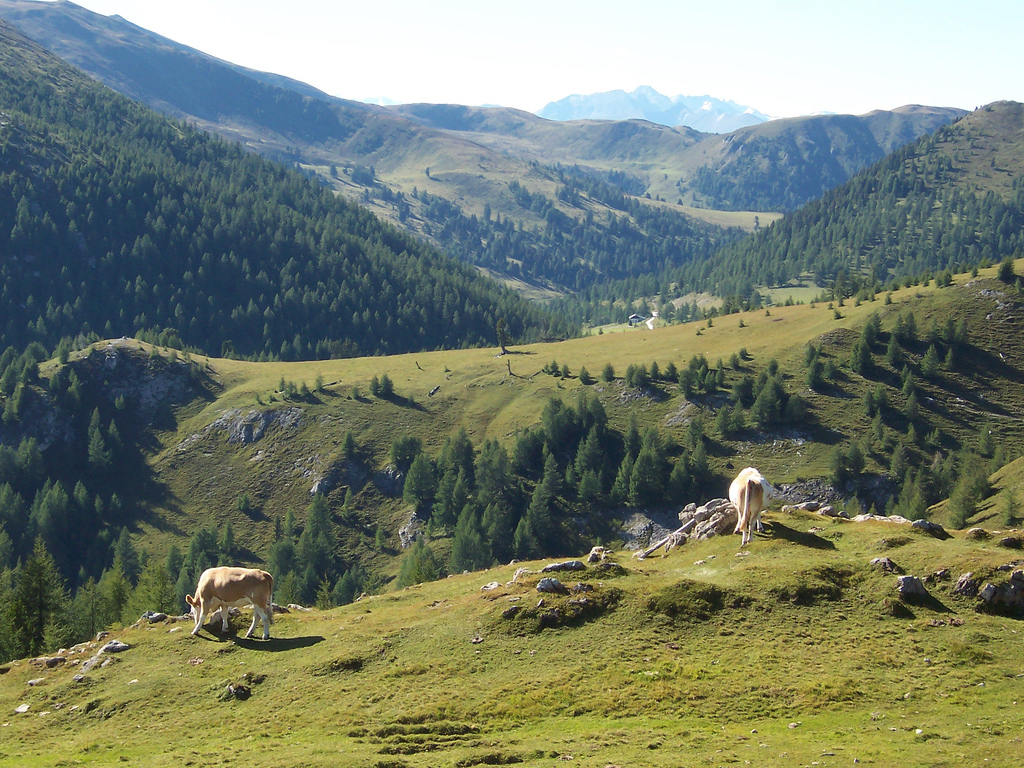
The Rinsennock is a mountain in the Gurktal Alps in Austria. It is part of the Nock Mountains sub-range and located at the border of the state of Carinthia with Upper Styria, immediately west of Turracher Höhe Pass. The summit, at 2,334 metres above the Adriatic Metres above the Adriatic ( it, Metri sopra l'Adriatico, german: Meter über Adria, Serbo-Croatian: ''Metara iznad Jadrana'') is the vertical datum used in Austria, in the former Yugoslavian states of Slovenia, Croatia, Bosnia-Hercegovina, Serbia, ... (7,657 ft), is a popular destination for hikers. References *http://www.summitpost.org/rinsennock/173645 Mountains of the Alps Mountains of Carinthia (state) Mountains of Styria ... [...More Info...] [...Related Items...] OR: [Wikipedia] [Google] [Baidu] |
Turracher Höhe Pass
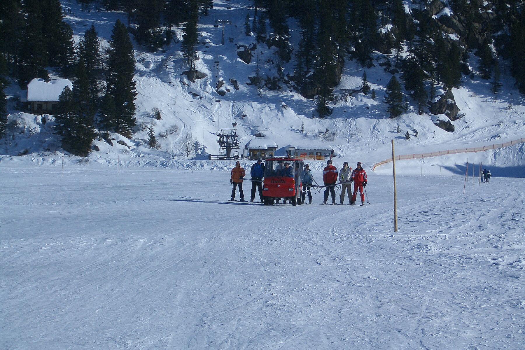
Turracher Höhe, also called Turracherhöhe, refers to a village, a pass across the Alps, and a countryside in the Gurktal Alps in Austria. The village and the Turracher Lake at the pass, which both share the same name, are separated by the border of the two federal states of Styria and Carinthia (state), Carinthia. Because of its distance to early settlement areas and its high location, the region was not settled until relatively late. In the 17th century, mining was started below the Turracherhöhe. The opening up of the top of the pass by a paved road did not occur until later. During the 20th century, the region was gradually developed for tourism. Efforts are being made to maintain the diversity of flora and fauna of the Turracherhöhe by means of landscape conservation areas and careful and nature-oriented extension of the tourist facilities. Geography Geographical location The Turracherhöhe is situated in the Nock mountains, the western part of the Gurktal Alps. The are ... [...More Info...] [...Related Items...] OR: [Wikipedia] [Google] [Baidu] |
Gurktal Alps
The Gurktal Alps (german: Gurktaler Alpen, sl, Krške Alpe) is a mountain range located in the Central Eastern Alps in Austria, named after the valley of the Gurk river. The range stretches west to Lake Millstatt and east to Neumarkter Sattel (north-northwest of Neumarkt in der Steiermark). The highest peak is the Styrian Eisenhut (2441m). Geography Location The range is located between the Mur Valley in the north, separating it from the Niedere Tauern, and the Drava in the south, where it borders on the Gailtal Alps and Karavanke ranges of the Southern Limestone Alps. In the west, the Gurktal Alps reach up to the Katschberg Pass and the Ankogel Group of the Hohe Tauern range. In the east, the Neumarkt Pass in Upper Styria separates it from the adjacent Lavanttal Alps. Subdivisions The Gurktal Alps may be divided into five subgroups: * The ''Nock Mountains'' lie between the Liesertal and Flattnitzer Höhe. Their highest peak is the Eisenhut (2,441 m). * The ''Met ... [...More Info...] [...Related Items...] OR: [Wikipedia] [Google] [Baidu] |
Carinthia
Carinthia (german: Kärnten ; sl, Koroška ) is the southernmost States of Austria, Austrian state, in the Eastern Alps, and is noted for its mountains and lakes. The main language is German language, German. Its regional dialects belong to the Southern Bavarian group. Carinthian dialect group, Carinthian Slovene dialects, forms of a South Slavic languages, Slavic language that predominated in the southeastern part of the region up to the first half of the 20th century, are now spoken by a Carinthian Slovenes, small minority in the area. Carinthia's main Industry (economics), industries are tourism, electronics, engineering, forestry, and agriculture. Name The etymology of the name "Carinthia", similar to Carnia or Carniola, has not been conclusively established. The ''Ravenna Cosmography'' (about AD 700) referred to a Slavic settlement of the Eastern Alps, Slavic "Carantani" tribe as the eastern neighbours of the Bavarians. In his ''History of the Lombards'', the 8th-c ... [...More Info...] [...Related Items...] OR: [Wikipedia] [Google] [Baidu] |
Styria
Styria (german: Steiermark ; Serbo-Croatian and sl, ; hu, Stájerország) is a state (''Bundesland'') in the southeast of Austria. With an area of , Styria is the second largest state of Austria, after Lower Austria. Styria is bordered to the south by Slovenia, and clockwise, from the southwest, by the Austrian states of Carinthia, Salzburg, Upper Austria, Lower Austria, and Burgenland. The state capital is Graz. Etymology The March of Styria derived its name from the original seat of its ruling Otakar dynasty: Steyr, in today's Upper Austria. In German, the area is still called "Steiermark" while in English the Latin name "Styria" is used. The ancient link between Steyr and Styria is also apparent in their nearly identical coats of arms, a white Panther on a green background. Geography * The term "Upper Styria" (german: Obersteiermark) refers to the northern and northwestern parts of the federal-state (districts Liezen, Murau, Murtal, Leoben, Bruck-Mürzzuschlag). * ... [...More Info...] [...Related Items...] OR: [Wikipedia] [Google] [Baidu] |
Austria
Austria, , bar, Östareich officially the Republic of Austria, is a country in the southern part of Central Europe, lying in the Eastern Alps. It is a federation of nine states, one of which is the capital, Vienna, the most populous city and state. A landlocked country, Austria is bordered by Germany to the northwest, the Czech Republic to the north, Slovakia to the northeast, Hungary to the east, Slovenia and Italy to the south, and Switzerland and Liechtenstein to the west. The country occupies an area of and has a population of 9 million. Austria emerged from the remnants of the Eastern and Hungarian March at the end of the first millennium. Originally a margraviate of Bavaria, it developed into a duchy of the Holy Roman Empire in 1156 and was later made an archduchy in 1453. In the 16th century, Vienna began serving as the empire's administrative capital and Austria thus became the heartland of the Habsburg monarchy. After the dissolution of the H ... [...More Info...] [...Related Items...] OR: [Wikipedia] [Google] [Baidu] |
Nock Mountains
The Nock Mountains (german: Nockberge or ''Nockgebirge'') are the westernmost and highest mountain range of the Gurktal Alps in Austria, spread over parts of the federal states of Carinthia, Salzburg and Styria. Their appearance is characterised by numerous dome-like and grass-covered summits (''Nocken''). Their highest peak is the Eisenhut in Styria which reaches an elevation of AA. In July 2012 the Nock Mountains and the adjacent Lungau region were designated a biosphere reserve by UNESCO. They were largely unglaciated in the Ice Age and were a glacial refugium. Geography As westernmost part of the Gurktal Alps, the Nock Mountains are separated from the Low Tauern in the north, stretching as far as the Katschberg Pass () in the west, by the Mur River. In the west, the rivers Lieser and Drau separate the Nock Mountains from the Ankogel Group of the High Tauern and from the Gailtal Alps. South of Lake Ossiach they are adjoined by the lower Sattnitz range and the Klagenfurt ... [...More Info...] [...Related Items...] OR: [Wikipedia] [Google] [Baidu] |
Upper Styria
Upper Styria (german: Obersteiermark), in the Austrian usage of the term, refers exclusively to the northwestern, generally mountainous and well-wooded half of the federal state of Styria. The southwestern half of the state around the capital of Graz is known as Central Styria (''Mittelsteiermark''), which is further divided into Eastern and Western Styria (east and west of Graz). Regions of Austria Geography Upper Styria is separated from Central Styria by the Stubalpe and Gleinalpe ranges of the Lavanttal Alps, and the Prealps East of the Mur. It is a generally rural region characterized by agriculture and tourism, except for the area between the towns of Judenburg and Mürzzuschlag, in the valley formed by the rivers Mur and Mürz, with extensive industrial sites. The area around Altaussee in the far northwest ist part of the Austrian Salzkammergut cultural landscape. The ''Obersteiermark'' region consists of five districts: *Murau *Liezen * Murtal (former Judenburg and K ... [...More Info...] [...Related Items...] OR: [Wikipedia] [Google] [Baidu] |
Metres Above The Adriatic
Metres above the Adriatic ( it, Metri sopra l'Adriatico, german: Meter über Adria, Serbo-Croatian: ''Metara iznad Jadrana'') is the vertical datum used in Austria, in the former Yugoslavian states of Slovenia, Croatia, Bosnia-Hercegovina, Serbia, Montenegro, North Macedonia, as well as in Albania to measure elevation, referring to the average water level of the Adriatic Sea at the Sartorio mole in the Port of Trieste. Gauge The gauging station in the Port of Trieste was established in the 1875 by the local observatory run by the military geographical institute of the Austro-Hungarian Army. The average water surface elevation at Molo Sartorio became the datum valid for the whole Austro-Hungarian monarchy. Whilst the former Yugoslavian states still use it, the Eastern Bloc successor states of Austria-Hungary like Hungary and Czechoslovakia after World War II switched to the Kronstadt Gauge of the Baltic Sea, which is higher. Whilst for Austria the 1875 gauge is used as the da ... [...More Info...] [...Related Items...] OR: [Wikipedia] [Google] [Baidu] |
Mountains Of The Alps
This page tabulates only the most prominent mountains of the Alps, selected for having a topographic prominence of ''at least'' , and all of them exceeding in height. Although the list contains 537 summits, some significant alpine mountains are necessarily excluded for failing to meet the stringent prominence criterion. The list of these most prominent mountains is continued down to 2500 m elevation at List of prominent mountains of the Alps (2500–2999 m) and down to 2000 m elevation on List of prominent mountains of the Alps (2000–2499 m). All such mountains are located in either France, Italy, Switzerland, Liechtenstein, Austria, Germany or Slovenia, even in some lower regions. Together, these three lists include all 44 ultra-prominent peaks of the Alps, with 19 ultras over 3000m on this page. For a definitive list of all 82 the highest peaks of the Alps, as identified by the International Climbing and Mountaineering Federation (UIAA), and often referred to as the 'Alpi ... [...More Info...] [...Related Items...] OR: [Wikipedia] [Google] [Baidu] |
Mountains Of Carinthia (state)
A mountain is an elevated portion of the Earth's crust, generally with steep sides that show significant exposed bedrock. Although definitions vary, a mountain may differ from a plateau in having a limited summit area, and is usually higher than a hill, typically rising at least 300 metres (1,000 feet) above the surrounding land. A few mountains are isolated summits, but most occur in mountain ranges. Mountains are formed through tectonic forces, erosion, or volcanism, which act on time scales of up to tens of millions of years. Once mountain building ceases, mountains are slowly leveled through the action of weathering, through slumping and other forms of mass wasting, as well as through erosion by rivers and glaciers. High elevations on mountains produce colder climates than at sea level at similar latitude. These colder climates strongly affect the ecosystems of mountains: different elevations have different plants and animals. Because of the less hospitable terrain and ... [...More Info...] [...Related Items...] OR: [Wikipedia] [Google] [Baidu] |


