|
Rockglen
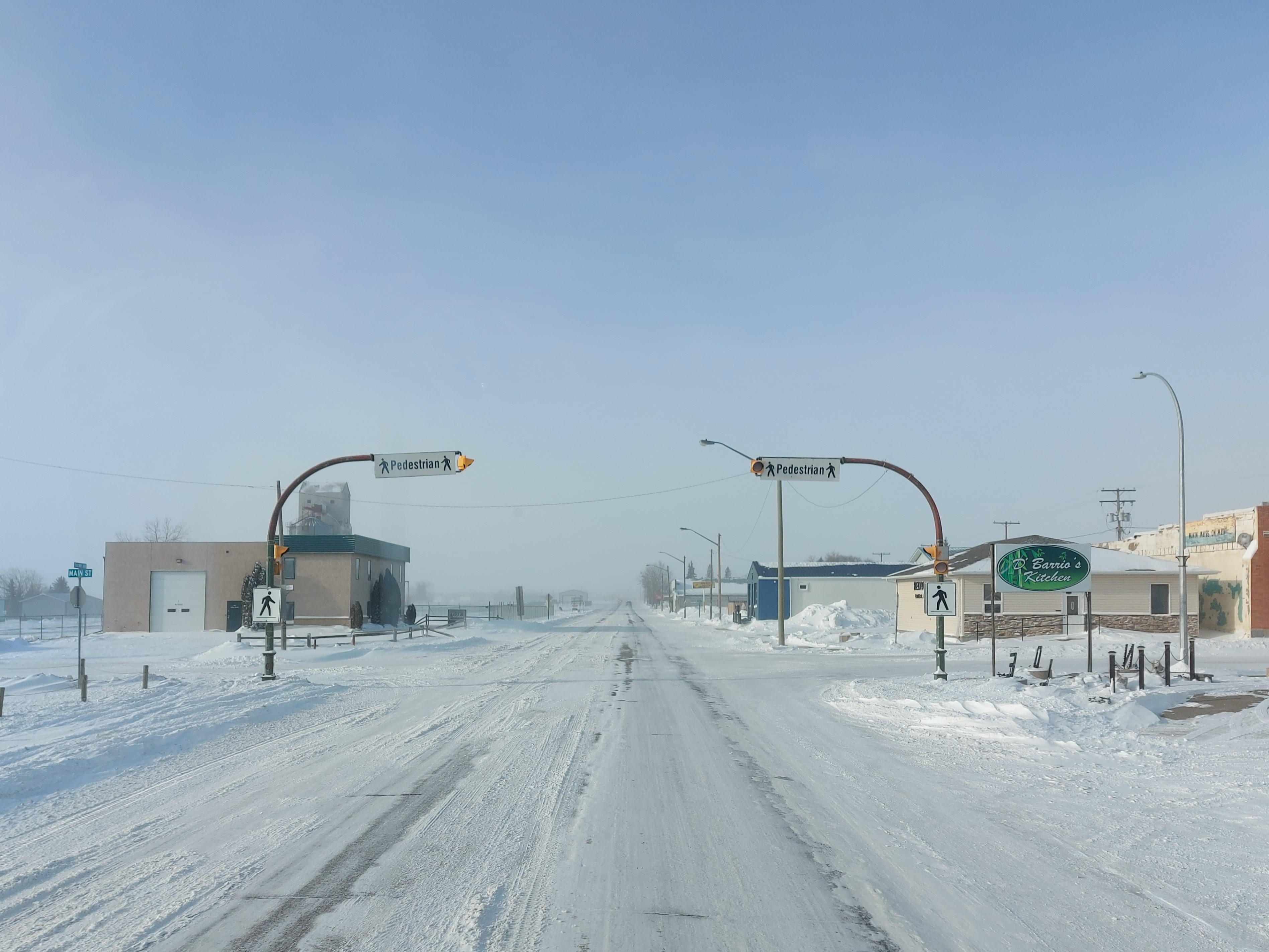
Rockglen is a community in the Burning Hills of the Wood Mountain Uplands, in Saskatchewan, Canada, providing a school, community hall, public library and five parks, as well a local service industry. The municipal office of Rural Municipality of Poplar Valley No. 12 lies within the boundaries of Rockglen, and Rockglen businesses are supported primarily by agriculture. In the Burning Hills agriculture consists of dry land farming and cattle. Rockglen is located along Highway 2 south of Assiniboia, Highway 18 west of Coronach, and Highways 2 and 18 north of Port Poplar River. In addition Rockglen Airport (CKC7) lies east of town. History Vestiges from before the last ice age, a land of hidden treasures, petrified wood and fossils, hammers and arrows of the Assiniboine, Plains Cree, and Blackfoot peoples. But it is the followers of Sitting Bull who left one of the strongest impressions. Following the Battle of Little Bighorn 5,000 Lakota Sioux Lakota fled to the Wood Mountai ... [...More Info...] [...Related Items...] OR: [Wikipedia] [Google] [Baidu] |
Saskatchewan Highway 2
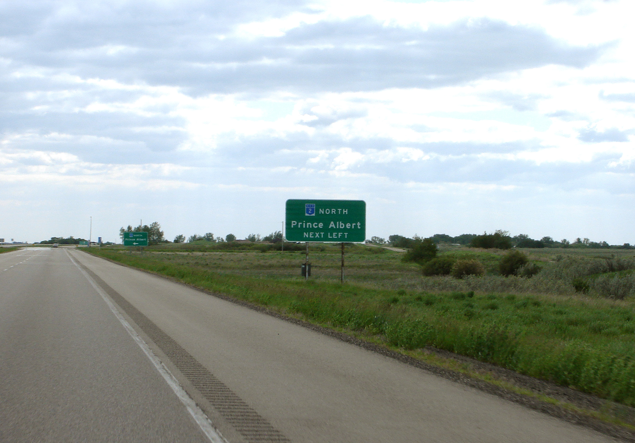
Highway 2 is a provincial highway in the Canadian province of Saskatchewan. It is the longest highway in Saskatchewan at 809 km (503 mi). The highway is partially divided and undivided. However, only about near Moose Jaw, near Chamberlain, and near Prince Albert are divided highway. Highway 2 is a major north-south route beginning at the Canada–US border at the Port of West Poplar River and Opheim, Montana customs checkpoints. Montana Highway 24 continues south. It passes through the major cities of Moose Jaw in the south and Prince Albert in the north. Highway 2 overlaps Highway 11 between the towns of Chamberlain and Findlater. This section of road is a wrong-way concurrency. The highway ends at La Ronge, where it becomes Highway 102. The highway started as a graded road in the 1920s which followed the grid lines of the early survey system and was maintained by early homesteaders of each rural municipality. Paving projects of the 1950s created all weather ... [...More Info...] [...Related Items...] OR: [Wikipedia] [Google] [Baidu] |
Saskatchewan Highway 18
Highway 18 is a highway in the Canadian province of Saskatchewan. It runs from Highway 13 near Robsart, approximately east of the Alberta border, to the Manitoba border near Gainsborough, where it becomes Highway 3. It passes through three major communities, all in the eastern quarter of Saskatchewan – Estevan, Oxbow, and Carnduff; it also passes north of the west and east blocks of Grasslands National Park. Highway 18 is about long, which is the longest east-west highway and second longest highway in Saskatchewan. History The original segment of Highway 18 ran from the Manitoba border, through Estevan, to Lake Alma, before turning north, passing through Radville, and terminating at Highway 13 approximately west of Weyburn. In the 1960s, Highway 18 was extended west to Highway 6 near Minton along an upgraded grid road, resulting in the north-south section between Lake Alma and Highway 13 being renumbered as Highway 2 ... [...More Info...] [...Related Items...] OR: [Wikipedia] [Google] [Baidu] |
Rockglen Airport
Rockglen Airport is located south-east of Rockglen Rockglen is a community in the Burning Hills of the Wood Mountain Uplands, in Saskatchewan, Canada, providing a school, community hall, public library and five parks, as well a local service industry. The municipal office of Rural Municipality ..., Saskatchewan, Canada. See also * List of airports in Saskatchewan References Registered aerodromes in Saskatchewan Poplar Valley No. 12, Saskatchewan {{Saskatchewan-airport-stub ... [...More Info...] [...Related Items...] OR: [Wikipedia] [Google] [Baidu] |
Wood Mountain Hills
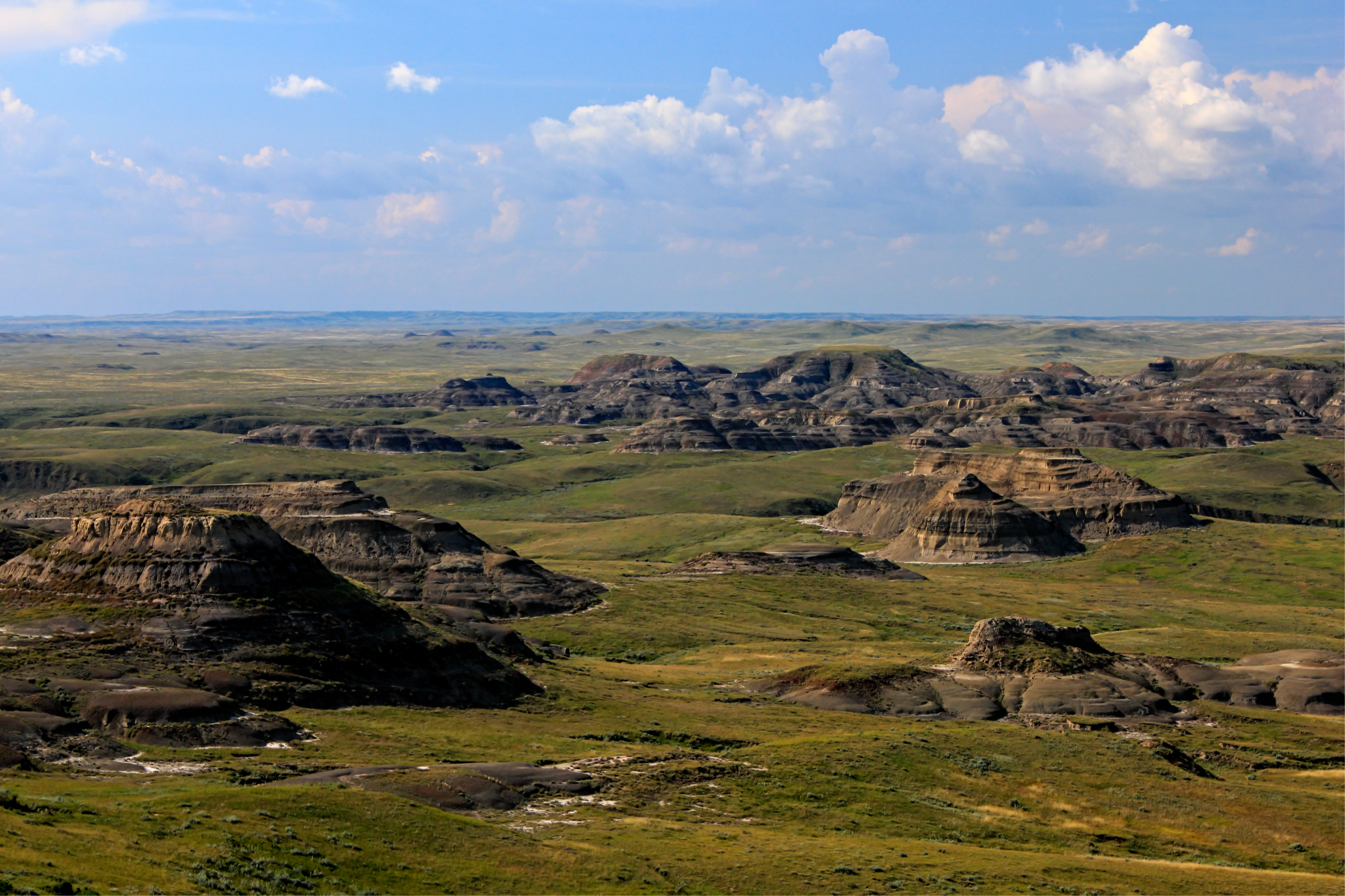
Wood Mountain Hills are a hilly plateau in the Canadian province of Saskatchewan. The hills are located in the southern part of the province and are part of the Missouri Coteau, which is part of the Laurentian Divide between the watersheds of the Hudson Bay drainage basin of the Arctic Ocean and the Gulf of Mexico of the Atlantic Ocean. The hills are in a semi-arid region known as Palliser's Triangle in the Great Plains ecoregion of North America. The Wood Mountain Hills are known locally as "the Bench" and, at a height of above sea level, are the second highest point of land in Western Canada east of the Rocky Mountains. The highest point is just to the west in the neighbouring Cypress Hills. Geography The south-eastern part of the Wood Mountain Hills was one of the few places in Canada that wasn't covered in ice during the Last Glacial Period. This preserved tertiary sands and gravels at higher the elevations while other parts of the hills have glacial drift and deep ... [...More Info...] [...Related Items...] OR: [Wikipedia] [Google] [Baidu] |
Saskatchewan Wheat Pool
The Saskatchewan Wheat Pool was a grain handling, agri-food processing and marketing company based in Regina, Saskatchewan. The Pool created a network of marketing alliances in North America and internationally which made it the largest agricultural grain handling operation in the province of Saskatchewan. Before becoming Viterra, SWP had operated 276 retail outlets and more than 100 grain handling and marketing centres. The Saskatchewan Wheat Pool operated under the name of AgPro in the prairie provinces of Manitoba and Alberta. Begun as a co-operative in the 1920s, the company became a publicly traded corporation in the 1990s. After the 2007 takeover of its competitor, Winnipeg-based Agricore United, the Pool name was retired. The merged company operated under the name Viterra until 2013, when it was acquired by Glencore International. Establishment and growth 180px, A now-obsolete wooden grain elevator once owned by SWP in Gainsborough. Farmers, frustrated in their attem ... [...More Info...] [...Related Items...] OR: [Wikipedia] [Google] [Baidu] |
United Church Of Canada
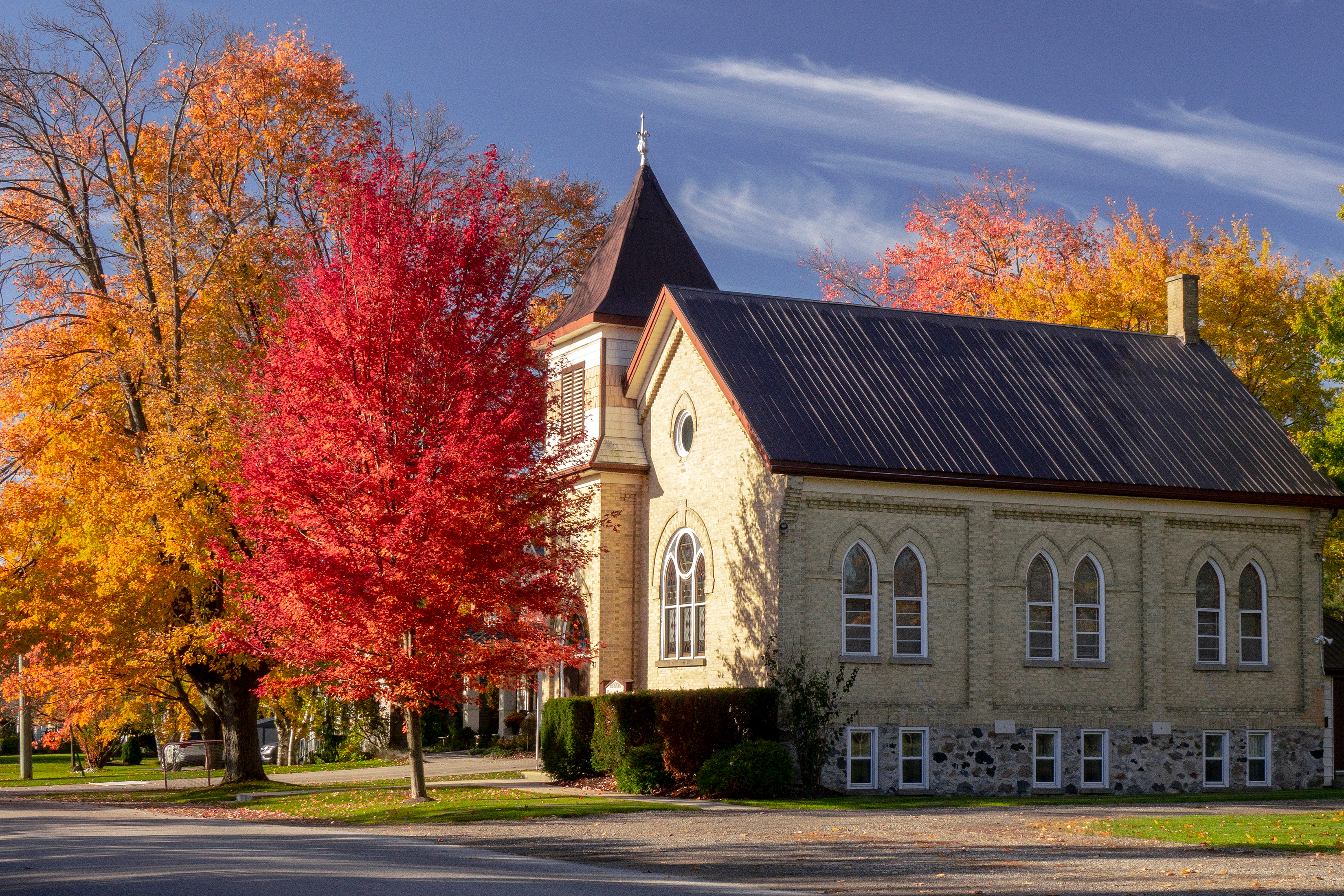
The United Church of Canada (french: link=no, Église unie du Canada) is a mainline Protestant denomination that is the largest Protestant Christian denomination in Canada and the second largest Canadian Christian denomination after the Catholic Church in Canada. The United Church was founded in 1925 as a merger of four Protestant denominations with a total combined membership of about 600,000 members: the Methodist Church, Canada, the Congregational Union of Ontario and Quebec, two-thirds of the congregations of the Presbyterian Church in Canada, and the Association of Local Union Churches, a movement predominantly of the Canadian Prairie provinces. The Canadian Conference of the Evangelical United Brethren Church joined the United Church of Canada on January 1, 1968. Membership peaked in 1964 at 1.1 million and has declined since that time. From 1991 to 2001, the number of people claiming an affiliation with the United Church decreased by 8%, the third largest decrease in ... [...More Info...] [...Related Items...] OR: [Wikipedia] [Google] [Baidu] |
Canadian Pacific Railway
The Canadian Pacific Railway (french: Chemin de fer Canadien Pacifique) , also known simply as CPR or Canadian Pacific and formerly as CP Rail (1968–1996), is a Canadian Class I railway incorporated in 1881. The railway is owned by Canadian Pacific Railway Limited, which began operations as legal owner in a corporate restructuring in 2001. Headquartered in Calgary, Alberta, the railway owns approximately of track in seven provinces of Canada and into the United States, stretching from Montreal to Vancouver, and as far north as Edmonton. Its rail network also serves Minneapolis–St. Paul, Milwaukee, Detroit, Chicago, and Albany, New York, in the United States. The railway was first built between eastern Canada and British Columbia between 1881 and 1885 (connecting with Ottawa Valley and Georgian Bay area lines built earlier), fulfilling a commitment extended to British Columbia when it entered Confederation in 1871; the CPR was Canada's first transcontinental railway. ... [...More Info...] [...Related Items...] OR: [Wikipedia] [Google] [Baidu] |
Assiniboia, Saskatchewan
Assiniboia is a town in the Canadian province of Saskatchewan. It is located south-southwest of Moose Jaw beside Highway 2 and Highway 13. History The Dominion Land Survey's description of the area around Assiniboia is Sec.18, Twp.8, R.29, W2. It was first settled by people of English, French, Romanian, Scottish, and Scandinavian descent. From 30 March 1908 to 23 November 1912, the post office at this location was named Leeville, Saskatchewan. The settlement of Assiniboia originated on 12 October 1912, when the Canadian Pacific Railway put 980 lots up for sale at the townsite as it built a branch line through southern Saskatchewan. The community grew rapidly and on 22 December 1912, it was incorporated as a village. In 1913, the population rose from 400 to 1400, and the community was incorporated as a town. The town's name comes from the former district of Assiniboia, in which the town is located. During the Great Depression, town officials employed out-of-work men to ... [...More Info...] [...Related Items...] OR: [Wikipedia] [Google] [Baidu] |
Saskatchewan
Saskatchewan ( ; ) is a Provinces and territories of Canada, province in Western Canada, western Canada, bordered on the west by Alberta, on the north by the Northwest Territories, on the east by Manitoba, to the northeast by Nunavut, and on the south by the United States, U.S. states of Montana and North Dakota. Saskatchewan and Alberta are the only landlocked provinces of Canada. In 2022, Saskatchewan's population was estimated at 1,205,119. Nearly 10% of Saskatchewan’s total area of is fresh water, mostly rivers, reservoirs and List of lakes in Saskatchewan, lakes. Residents primarily live in the southern prairie half of the province, while the northern half is mostly forested and sparsely populated. Roughly half live in the province's largest city Saskatoon or the provincial capital Regina, Saskatchewan, Regina. Other notable cities include Prince Albert, Saskatchewan, Prince Albert, Moose Jaw, Yorkton, Swift Current, North Battleford, Melfort, Saskatchewan, Melfort, and ... [...More Info...] [...Related Items...] OR: [Wikipedia] [Google] [Baidu] |
James Morrow Walsh
James Morrow Walsh (22 May 1840 – 25 July 1905) was a North-West Mounted Police (NWMP) officer and the first commissioner of Yukon. Born in Prescott, Ontario, James Walsh was one of the original officers of the NWMP. Superintendent Walsh was assigned in 1875 to establish a post in the Cypress Hills in what is now Saskatchewan. He named it Fort Walsh after himself. The location of the post was determined by the Cypress Hills Massacre in 1873, an atrocity stemming from the illegal American whiskey trade. Walsh's original role was to shut down this trade, but in June 1876 his position grew in importance when several thousand Sioux crossed the border into Canada, taking refuge there after the Battle of Little Big Horn. They settled near the Wood Mountain post in present-day Saskatchewan. Walsh developed a strong friendship with the famous Sioux leader Sitting Bull and successfully kept peace in the region. By the summer of 1877, Walsh, although still in command of Fort Walsh ... [...More Info...] [...Related Items...] OR: [Wikipedia] [Google] [Baidu] |
Alberta Pacific Grain Co
Alberta ( ) is one of the thirteen provinces and territories of Canada. It is part of Western Canada and is one of the three prairie provinces. Alberta is bordered by British Columbia to the west, Saskatchewan to the east, the Northwest Territories (NWT) to the north, and the U.S. state of Montana to the south. It is one of the only two landlocked provinces in Canada (Saskatchewan being the other). The eastern part of the province is occupied by the Great Plains, while the western part borders the Rocky Mountains. The province has a predominantly continental climate but experiences quick temperature changes due to air aridity. Seasonal temperature swings are less pronounced in western Alberta due to occasional Chinook winds. Alberta is the fourth largest province by area at , and the fourth most populous, being home to 4,262,635 people. Alberta's capital is Edmonton, while Calgary is its largest city. The two are Alberta's largest census metropolitan areas. More than half of A ... [...More Info...] [...Related Items...] OR: [Wikipedia] [Google] [Baidu] |
Imperial Bank Of Canada
The Imperial Bank of Canada was a Canadian bank based in Toronto, Ontario, during the late 19th century and early 20th century. History It was founded in 1873 as the Imperial Bank in Toronto by Henry Stark Howland, former vice president of the Canadian Bank of Commerce. The bank became the Imperial Bank of Canada in 1874. In 1875, the president of the Imperial Bank of Canada was H.S. Howland, founder of the original Imperial Bank. The bank had a capital of $1,000,000 and the head office was located on Wellington Street in Toronto, Ontario. The Imperial Bank of Canada branches expanded beyond Toronto and were found in St. Catharines, Ingersoll, Welland, Prince Albert, Saskatchewan and Port Colborne. In 1875, it amalgamated with the Niagara District Bank, which had been chartered on May 19, 1855, in Montreal. Although George Albertus Cox became the bank's president in 1890, Howland stayed at the bank until his death in 1902. Cox remained president until 1906. Daniel Robert Wi ... [...More Info...] [...Related Items...] OR: [Wikipedia] [Google] [Baidu] |


.jpg)