|
Richard Buxton (botanist)
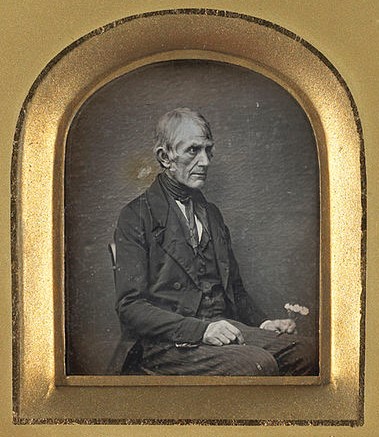
Richard Buxton (15 January 1786 – 2 January 1865) was a British shoemaker and amateur botanist. Born in Prestwich, Lancashire, to a family who lived in humble circumstances, he taught himself to read, and learned the basic principles of botany. Although living as a pauper for most of his life, in 1849 he published ''A Botanical Guide to the Flowering Plants, Ferns, Mosses and Algæ, Found Indigenous Within Sixteen Miles of Manchester'', which became one of the standard texts on the flora then commonly found in the Manchester area. According to his obituary in the ''Journal of Botany, British and Foreign'', Buxton was one of "nature's gentlemen" and "his true and correct pronunciation of scientific terms have caused many who heard him to believe he was an accomplished classical scholar". He was acknowledged by the geologist Edward William Binney as "the most profound thinker of his class". Early life The second of seven children, Richard Buxton was born on 15 January 1786 a ... [...More Info...] [...Related Items...] OR: [Wikipedia] [Google] [Baidu] |
Buxton At 65 John Benjamin Dancer
Buxton is a spa town in the High Peak, Derbyshire, Borough of High Peak, Derbyshire, England. It is England's highest market town, sited at some above sea level."Buxton – in pictures" , BBC Radio Derby, March 2008, accessed 3 June 2013.Alston, Cumbria also claims this, but lacks a regular market. It lies close to Cheshire to the west and Staffordshire to the south, on the edge of the Peak District, Peak District National Park. In 1974, the municipal borough merged with other nearby boroughs, including Glossop, to form the Non-metropolitan district, local government district and borough of ''High Peak''. The town population was 22,115 at the 2011 Census. Sights include Poole's Cavern, a limestone cavern; St Ann's Well (Buxton), St Ann's Well, fed by a geoth ... [...More Info...] [...Related Items...] OR: [Wikipedia] [Google] [Baidu] |
Linnaean Taxonomy
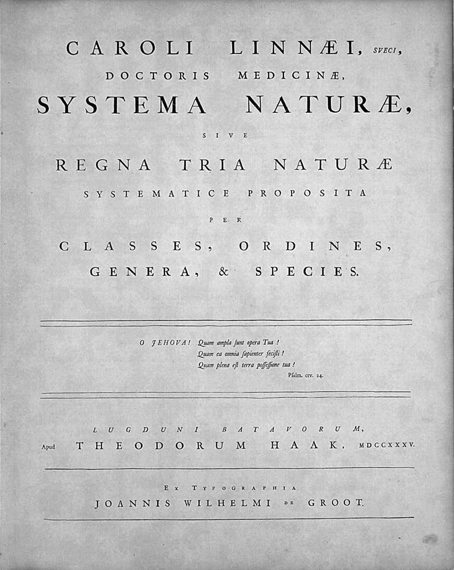
Linnaean taxonomy can mean either of two related concepts: # The particular form of biological classification (taxonomy) set up by Carl Linnaeus, as set forth in his ''Systema Naturae'' (1735) and subsequent works. In the taxonomy of Linnaeus there are three kingdoms, divided into ''classes'', and they, in turn, into lower ranks in a hierarchical order. # A term for rank-based classification of organisms, in general. That is, taxonomy in the traditional sense of the word: rank-based scientific classification. This term is especially used as opposed to cladistic systematics, which groups organisms into clades. It is attributed to Linnaeus, although he neither invented the concept of ranked classification (it goes back to Plato and Aristotle) nor gave it its present form. In fact, it does not have an exact present form, as "Linnaean taxonomy" as such does not really exist: it is a collective (abstracting) term for what actually are several separate fields, which use similar approac ... [...More Info...] [...Related Items...] OR: [Wikipedia] [Google] [Baidu] |
Yorkshire
Yorkshire ( ; abbreviated Yorks), formally known as the County of York, is a Historic counties of England, historic county in northern England and by far the largest in the United Kingdom. Because of its large area in comparison with other English counties, functions have been undertaken over time by its subdivisions, which have also been subject to History of local government in Yorkshire, periodic reform. Throughout these changes, Yorkshire has continued to be recognised as a geographic territory and cultural region. The name is familiar and well understood across the United Kingdom and is in common use in the media and the Yorkshire Regiment, military, and also features in the titles of current areas of civil administration such as North Yorkshire, South Yorkshire, West Yorkshire and the East Riding of Yorkshire. Within the borders of the historic county of Yorkshire are large stretches of countryside, including the Yorkshire Dales, North York Moors and Peak District nationa ... [...More Info...] [...Related Items...] OR: [Wikipedia] [Google] [Baidu] |
Cheshire
Cheshire ( ) is a ceremonial and historic county in North West England, bordered by Wales to the west, Merseyside and Greater Manchester to the north, Derbyshire to the east, and Staffordshire and Shropshire to the south. Cheshire's county town is the cathedral city of Chester, while its largest town by population is Warrington. Other towns in the county include Alsager, Congleton, Crewe, Ellesmere Port, Frodsham, Knutsford, Macclesfield, Middlewich, Nantwich, Neston, Northwich, Poynton, Runcorn, Sandbach, Widnes, Wilmslow, and Winsford. Cheshire is split into the administrative districts of Cheshire West and Chester, Cheshire East, Halton, and Warrington. The county covers and has a population of around 1.1 million as of 2021. It is mostly rural, with a number of towns and villages supporting the agricultural and chemical industries; it is primarily known for producing chemicals, Cheshire cheese, salt, and silk. It has also had an impact on popular culture, producin ... [...More Info...] [...Related Items...] OR: [Wikipedia] [Google] [Baidu] |
Didsbury
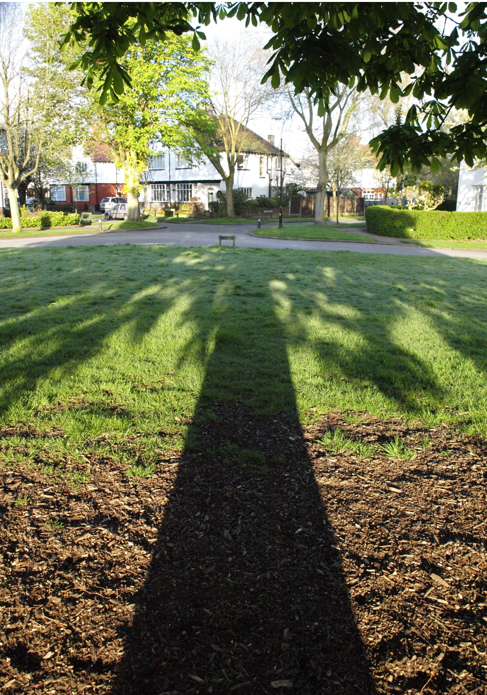
Didsbury is a suburban area of Manchester, England, on the north bank of the River Mersey, south of Manchester city centre. The population at the 2011 census was 26,788. Within the boundaries of the historic county of Lancashire, there are records of Didsbury existing as a small hamlet as early as the 13th century. Its early history was dominated by being part of the Manor of Withington, a feudal estate that covered a large part of what is now the south of Manchester. Didsbury was described during the 18th century as a township separate from outside influence. In 1745 Charles Edward Stuart crossed the Mersey at Didsbury in the Jacobite march south from Manchester to Derby, and again in the subsequent retreat. Didsbury was largely rural until the mid-19th century, when it underwent development and urbanisation during the Industrial Revolution. It became part of Manchester in 1904. The Royal Society for the Protection of Birds was formed in Didsbury in 1889. History ... [...More Info...] [...Related Items...] OR: [Wikipedia] [Google] [Baidu] |
Withington
Withington is a suburb of Manchester, England. Historically part of Lancashire, it lies from Manchester city centre, about south of Fallowfield, north-east of Didsbury and east of Chorlton-cum-Hardy. Withington has a population of just over 14,000 people, reducing at the 2011 census to 13,422. In the early 13th century, Withington occupied a feudal estate that included the townships of Withington, Chorlton-cum-Hardy, Moss Side, Rusholme, Burnage, Denton and Haughton, held by the Hathersage, Longford and Tatton families, and within the Manor of Manchester and Hundred of Salford in historic county boundaries of Lancashire. Withington was largely rural until the mid-19th century when it experienced rapid socioeconomic development and urbanisation due to the Industrial Revolution, and Manchester's growing level of industrialisation. Withington became part of Manchester in 1904. Today, the residents of Withington comprise a mixture of families, university students a ... [...More Info...] [...Related Items...] OR: [Wikipedia] [Google] [Baidu] |
Chorlton-cum-Hardy
Chorlton-cum-Hardy is a suburban area of Manchester, England, southwest of the Manchester city centre, city centre. Chorlton (ward), Chorlton ward had a population of 14,138 at the United Kingdom Census 2011, 2011 census, and Chorlton Park (ward), Chorlton Park 15,147. By the 9th century, there was an Anglo-Saxon settlement here. In the Middle Ages, improved drainage methods led to population growth. In the late Victorian era, Victorian and Edwardian periods, its rural character made it popular among the middle class. The loss of its railway station, the conversion of larger houses into flats or bedsitters, and significant social housing development to the south of the area changed its character again in the 1970s. However, the existing Manchester Metrolink tram stop called Chorlton was built on the site of that former railway station and from Manchester, it is served by East Didsbury trams and Manchester Airport trams. Historically, Chorlton was a village on Lancashire's sou ... [...More Info...] [...Related Items...] OR: [Wikipedia] [Google] [Baidu] |
Blackley
Blackley is a suburban area of Manchester, England. Historically in Lancashire, it is approximately north of Manchester city centre, on the River Irk. History The hamlet of Blackley was mentioned in the Domesday Book. The name derives from the Anglo-Saxon Blæclēah = "dark wood" or "dark clearing". In the 13th and 14th centuries Blackley was referred to as ''Blakeley'' or ''Blakelegh''. By the Middle Ages, Blackley had become a park belonging to the lords of Manchester.' Its value in 1282 was recorded as £6 13s 4d, a sum approximately equivalent in buying power to £333,500 today. The lords of Manchester leased the land from time to time. In 1473, John Byron held the leases on Blackley village, Blackley field and Pillingworth fields at an annual rent of £33 6s 8d. The Byron family continued to hold the land until the beginning of the 17th century when Blackley was sold in parcels to a number of landowners. By the middle of the 17th century, Blackley was a rural village o ... [...More Info...] [...Related Items...] OR: [Wikipedia] [Google] [Baidu] |
Baguley
Baguley ( ) is an electoral ward of the city of Manchester in Wythenshawe, England. The population at the 2011 census was 14,794. Baguley is derived from the Old English words Bagca, badger, and Leah, clearing or meadow. Historically in Cheshire, Baguley is mentioned in the Domesday Book of 1086. It was incorporated into Manchester in 1931. History Baguley is recorded in the Doomsday book with 1.5 ploughlands (1 ploughland being the amount of land that can be ploughed by a team of eight oxen.) . In 1086 the tenants in chief were Gilbert (the hunter) and Hamo de Masci . The Barons de Masci also had control over the manors of Dunham, Bowdon, Hale, Partington, and Timperley In the 13th century, the Massey Family (Baron Hamon deMascy) was the main landlord in Northenden, Through marriage, the Massey's land in Baguley passed to the Baguley Family, who built Baguley Hall in the 14th century. Baguley Hall is a 14th-century timber-framed manor house that may have replaced an 11th ... [...More Info...] [...Related Items...] OR: [Wikipedia] [Google] [Baidu] |
Clifton, Greater Manchester
Clifton is a suburb of Swinton in the City of Salford in Greater Manchester, England. It lies along the edge of Irwell Valley in the north of the City of Salford. Historically in Lancashire, it was a centre for coal mining, and once formed part of the Municipal Borough of Swinton and Pendlebury. History Clifton is derived from the Old English ''clif'' and ''tun'', and means the "settlement near a cliff, slope or riverbank". Clifton was mentioned in the Pipe Roll of 1183–84. Coal mining Clifton Hall Colliery was west of Lumns Lane, on the site now occupied by a domestic refuse and recycling site run by the Greater Manchester Waste Disposal Authority. The colliery was operating by 1820, and its tramway is shown on a parliamentary plan from 1830 and an 1845 map. It closed in 1929. On 18 June 1885, an underground explosion at the colliery killed 178 men and boys. The inquest and the official report concluded that explosion was caused by firedamp igniting on contact with a cand ... [...More Info...] [...Related Items...] OR: [Wikipedia] [Google] [Baidu] |
Thomas Heywood (antiquarian)
Thomas Heywood (1797–1866) was an English antiquarian. He was closely involved in the Chetham Society and its publications. Early life The son of Nathaniel Heywood (died 1815) of Heywood's Bank and his wife Anne Percival, daughter of Thomas Percival, and younger brother of Benjamin Heywood, he was born in Manchester on 3 September 1797; James Heywood was his younger brother. He was educated at Manchester Grammar School. He graduated B.A. from Glasgow University in 1815. Heywood was from 1818 a partner in Heywood's Bank, called the Manchester Bank and, from 1795, Heywood Brothers & Co., with his father's surviving brother Benjamin Arthur Heywood (died 1828), Benjamin, and (from 1820) Richard Heywood, another brother. He served the office of boroughreeve of Salford in 1826. In 1828 Thomas and Richard Heywood left the family business, which was carried on by Benjamin. At Hope End Thomas Heywood purchased Hope End, a mansion in Herefordshire, near Ledbury. It was sold in 1832 by ... [...More Info...] [...Related Items...] OR: [Wikipedia] [Google] [Baidu] |
Whitefield, Greater Manchester
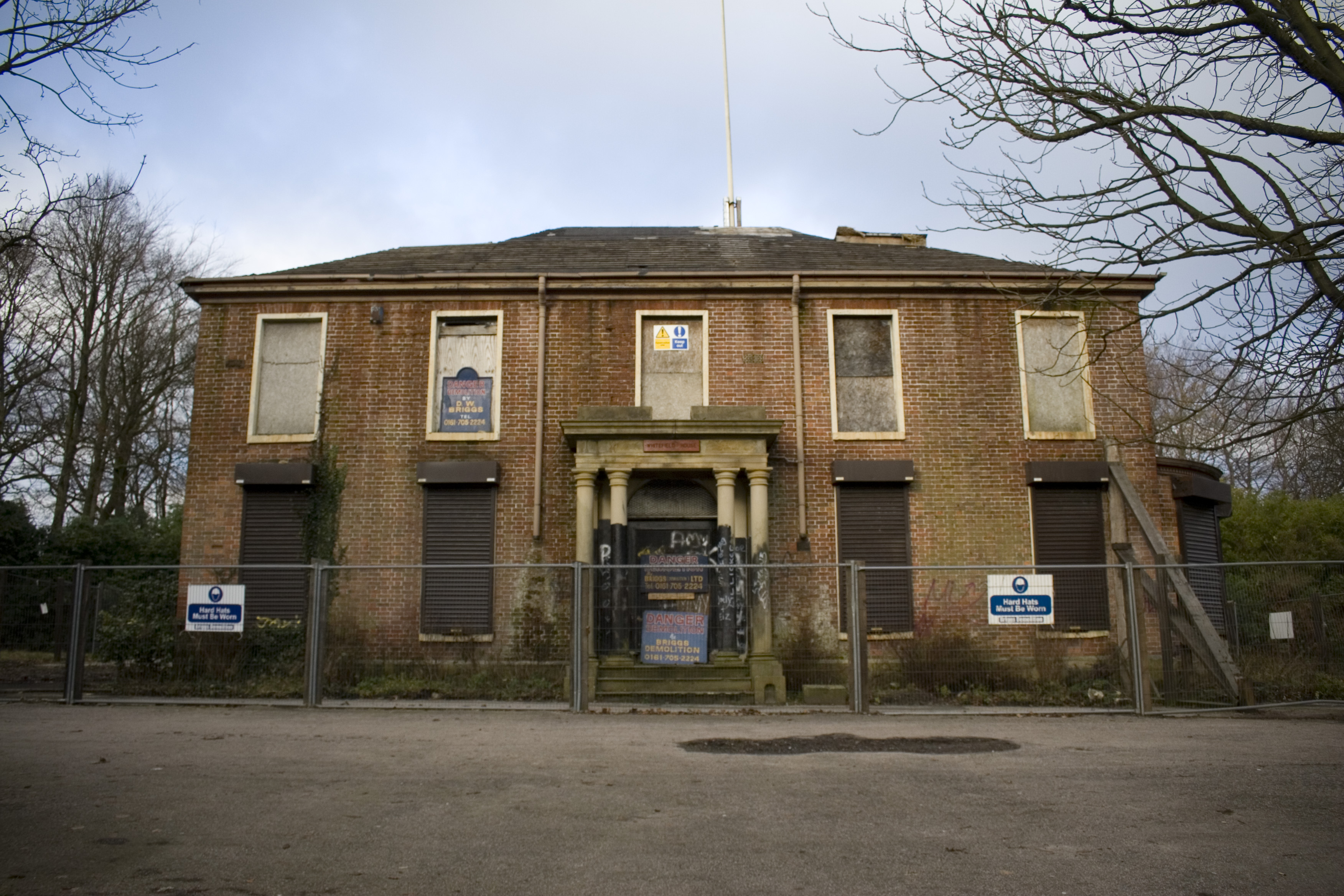
Whitefield is a town in the Metropolitan Borough of Bury, Greater Manchester, England. It lies on undulating ground above the Irwell Valley, along the south bank of the River Irwell, southeast of Bury, and northwest of Manchester. Prestwich and the M60 motorway lie just to the south. Historically part of Lancashire, Whitefield was on the path of an ancient Roman road leading from ''Mamucium'' (Manchester) in the south to ''Bremetennacum'' ( Ribchester) in the north. Throughout the Middle Ages, Whitefield was a division of the township of Pilkington, itself a part of the parish of Prestwich-cum-Oldham and hundred of Salford. Pilkington and Whitefield have historic associations with the Earls of Derby. Farming was the main industry of this rural area, with locals supplementing their incomes by hand-loom woollen weaving in the domestic system. The urbanisation and development of Whitefield largely coincided with the Industrial Revolution. The name Whitefield is thought to ... [...More Info...] [...Related Items...] OR: [Wikipedia] [Google] [Baidu] |


_2018.png)

