|
Reichenau, Austria
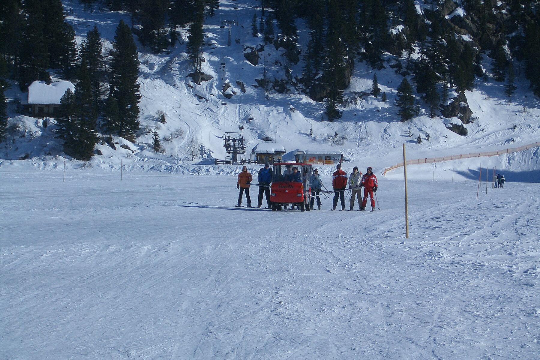
Reichenau ( sl, Rajnava) is a municipality in the district of Feldkirchen in the Austrian state of Carinthia. Geography The municipal area is situated in the upper valley of the Gurk River within the Nock Mountains range (part of the Gurktal Alps). In the north, the road from Feldkirchen leads up to Turracher Höhe Pass and Turracher See at a height of AA on the border with Predlitz-Turrach in Styria and further down into the Mur Valley. Another small mountain lake is Falkertsee at in the west. Reichenau is the eastern terminus of the ''Nockalmstraße'' scenic route through the Nock Mountains to Krems. Reichenau consists of the cadastral communities Ebene Reichenau, Sankt Lorenzen, Sankt Margarethen, Wiedweg, and Winkl. Neighboring municipalities History The remote and densely forested area of the upper Gurk Valley was settled by Celtic colonists when the region was part of the Noricum kingdom, which in 15 BC was incorporated as a province of the Roman Empire. From a ... [...More Info...] [...Related Items...] OR: [Wikipedia] [Google] [Baidu] |
Feldkirchen (district)
Bezirk Feldkirchen is a district of the state of Carinthia in Austria. Municipalities Towns (''Städte'') are indicated in boldface; suburbs, hamlets and other subdivisions of a municipality are indicated in small characters. * Albeck ( Slov.: ''Št. Rupert'') (2) ** Albeck Obere Schattseite, Albeck Untere Schattseite, Benesirnitz, Egarn, Frankenberg, Grillenberg, Hochrindl, Hochrindl-Alpl, Hochrindl-Kegel, Hochrindl-Tatermann, Hofern, Holzern, Kalsberg, Kogl, Kruckenalm, Lamm, Leßnitz, Neualbeck, Oberdörfl, Obereggen, Seebachern, Sirnitz, Sirnitz-Schattseite, Sirnitz-Sonnseite, Sirnitz-Winkl, Spitzwiesen, St. Ruprecht, Stron, Unterdörfl, Untereggen, Weitental, Wippa * Feldkirchen in Kärnten ( Slov.: ''Trg'') (1) * Glanegg ( Slov.: ''Klanec'') (3) ** Bach, Besendorf, Deblach, Flatschach, Friedlach, Glanegg, Glantscha, Gösselsberg, Gramilach, Grintschach, Haidach, Kadöll, Krobathen, Kulm, Maria Feicht, Maria Feicht-Gegend, Mauer, Mautbrücken, Meschkowitz, Metschach, Pain ... [...More Info...] [...Related Items...] OR: [Wikipedia] [Google] [Baidu] |
Turracher Höhe Pass
Turracher Höhe, also called Turracherhöhe, refers to a village, a pass across the Alps, and a countryside in the Gurktal Alps in Austria. The village and the Turracher Lake at the pass, which both share the same name, are separated by the border of the two federal states of Styria and Carinthia (state), Carinthia. Because of its distance to early settlement areas and its high location, the region was not settled until relatively late. In the 17th century, mining was started below the Turracherhöhe. The opening up of the top of the pass by a paved road did not occur until later. During the 20th century, the region was gradually developed for tourism. Efforts are being made to maintain the diversity of flora and fauna of the Turracherhöhe by means of landscape conservation areas and careful and nature-oriented extension of the tourist facilities. Geography Geographical location The Turracherhöhe is situated in the Nock mountains, the western part of the Gurktal Alps. The are ... [...More Info...] [...Related Items...] OR: [Wikipedia] [Google] [Baidu] |
Feld Am See
Feld is a surname of German origin. The name means "field" in English. * Feld Entertainment, entertainment company formed by Israel and Irvin Feld People * A. Spencer Feld (1891–1987), New York politician * Bernard T. Feld (1919–1993), American physicist * Brad Feld (born 1965), American venture capitalist * Donald Lee Feld, better known as Donfeld (1934–2007), American costume designer * Fritz Feld (1900–1993), German-American actor * Irvin Feld, co-founder of an American entertainment company * Jindřich Feld (1925–2007), Czech composer * Judy Feld Carr (born 1938), Canadian musicologist and Jewish activist * Kenneth Feld (born 1948), American entertainment entrepreneur * Mark Feld, better known under his stage name Marc Bolan (1947–1977), English musician with T.Rex * Val Feld (1947–2001), Welsh politician Fictional characters * Zieg Feld, a character in ''The Legend of Dragoon'' * Dart Feld, a character in ''The Legend of Dragoon'' See also * Feld-Tai reciproc ... [...More Info...] [...Related Items...] OR: [Wikipedia] [Google] [Baidu] |
Albeck, Carinthia
Albeck ( sl, Št. Rupert ) is a municipality in the district of Feldkirchen in the Austrian state of Carinthia. Geography The municipal area stretches along the valley of the Sirnitzbach creek, a tributary of the Gurk river, within the Gurktal Alps. In the northwest, Albeck borders on the state of Styria near Mt Eisenhut and Turracher Höhe Pass. In the west, the road leads from Sirnitz to Reichenau via Hochrindl Pass. The upper Gurk valley and its sources, two small cirque lakes (Gurksee and Torersee), are a protected area since 1981. Albeck comprises the cadastral communities of Albeck proper, Großreichenau, Sankt Leonhard, and Sirnitz. The main settlement is the village of Sirnitz. Neighbouring municipalities History Albeck is a settlement area since the 10th century, when the surrounding estates were held by the Counts of Friesach, ancestors of Saint Hemma of Gurk. In 1043 Hemma granted the Lordship of Albeck to the short-lived Benedictine nunnery of Gurk. When Archbi ... [...More Info...] [...Related Items...] OR: [Wikipedia] [Google] [Baidu] |
Bad Kleinkirchheim
Bad Kleinkirchheim is a municipality and spa town in the district of Spittal an der Drau, in Carinthia, Austria. Until the middle of the 20th century, agriculture was the dominant focus, but it is now a renowned spa and ski resort. Although records show people appreciating the area as a recreation area as early as the 11th century, and the first bathing guests arriving in the 17th century, it was only in the last few decades that Bad Kleinkirchheim began to move away from agriculture and focus on its potential for tourism. Geography Location Bad Kleinkirchheim is at an average elevation of in a stretch of a glacial trough valley in the Gurktal Alps (Nock Mountains), between the Millstätter See and the upper Gurk River. The populated section lies between and , and the highest point in the area is the peak of the Klomnock, at . North of Kleinkirchheim and St. Oswald, part of the Nockberge National Park is within the area’s boundaries. To the north and south of the valley, ... [...More Info...] [...Related Items...] OR: [Wikipedia] [Google] [Baidu] |
Cadastral Community
A cadastral community or cadastral municipality, is a cadastral subdivision of municipalities in the nations of Austria,Cadastral Template for Austria, web-pageCT-AT Bosnia and Herzegovina, Croatia, the Czech Republic, Serbia, Slovakia, Slovenia, the Netherlands and the Italian provinces of South Tyrol, Trentino, Gorizia and Trieste. A cadastral community records property ownership in a cadastre, which is a register describing property ownership by boundary lines of the real estate. The common etymology in the Central European successor states of the Habsburg monarchy comes from german: Katastralgemeinde (KG), plural: ''Katastralgemeinden'', translated as it, comune censuario or ''comune catastale'', sl, katastralna občina, hr, katastarska općina, sk, katastrálne územia and cs, katastrální území ("cadastral territories"). History In 1764, at the behest of Empress Maria Theresa, a complete survey of the Habsburg lands was begun, initiated by the general staff of ... [...More Info...] [...Related Items...] OR: [Wikipedia] [Google] [Baidu] |
Krems, Carinthia
Krems in Kärnten is a municipality in the district of Spittal an der Drau in Carinthia in Austria. Geography The municipal area is located in the Krems Valley of northern Carinthia, at the border with the Austrian states of Salzburg (Lungau) and Styria (Upper Styria). It stretches down from the Lieser River, a tributary of the Drava, up to the Nock Mountains, part of the Gurktal Alps range. The village of Innerkrems is the starting point of the scenic Nockalm Road to Reichenau, in the north the Schönfeldsattel Pass leads to Thomatal (Bundschuh) in Salzburg. To the west, the Katschberg Pass road and the parallel Tauern Autobahn are significant transport routes. The mountainous region is a popular winter sport destination, including several ski slopes and platter lifts. The Krems municipality is subdivided into seven cadastral communities: Eisentratten, Kremsbrücke, Leoben, Nöring, Puchreit, Reitern, and Sankt Nikolai. History In 1197, Rauchenkatsch Castle was first docu ... [...More Info...] [...Related Items...] OR: [Wikipedia] [Google] [Baidu] |
Scenic Route
A scenic route, tourist road, tourist route, tourist drive, holiday route, theme route, or scenic byway is a specially designated road or waterway that travels through an area of natural or cultural beauty. It often passes by scenic viewpoints. The designation is usually determined by a governmental body, such as a Department of Transportation or a Ministry of Transport. Tourist highway A tourist highway or holiday route is a road that is marketed as being particularly suited for tourists. Tourist highways may be formed when existing roads are promoted with traffic signs and advertising material. Some tourist highways such as the Blue Ridge Parkway are built especially for tourism purposes. Others may be roadways enjoyed by local citizens in areas of unique or exceptional natural beauty, such as the Lake District. Still others, such as the Lincoln Highway in Illinois are former main roads, only designated as "scenic" after most traffic bypasses them (termed scenic highway in ... [...More Info...] [...Related Items...] OR: [Wikipedia] [Google] [Baidu] |
Falkertsee
Falkertsee is a lake of Carinthia, Austria Austria, , bar, Östareich officially the Republic of Austria, is a country in the southern part of Central Europe, lying in the Eastern Alps. It is a federation of nine states, one of which is the capital, Vienna, the most populous .... Lakes of Carinthia {{Carinthia-geo-stub ... [...More Info...] [...Related Items...] OR: [Wikipedia] [Google] [Baidu] |
Mur (river)
The Mur () or Mura (; ; ; Prekmurje Slovene: ''Müra''Novak, Vilko. 2006. ''Slovar stare knjižne prekmurščine''. Ljubljana: ZRC SAZU, pp. 262, 269. or ''Möra'') is a river in Central Europe rising in the Hohe Tauern national park of the Central Eastern Alps in Austria with its source being above sea level. It is a tributary of the Drava and subsequently the Danube. The Mur's total length is around . About 326 km are within the interior of Austria; 95 km flow in and around Slovenia (67 km along the borders with Austria and Croatia, 28 km inside Slovenia), and the rest forms the border between Croatia and Hungary. The largest city on the river is Graz, Austria. Its drainage basin covers an area of . Tributaries of the Mur include the Mürz, the Sulm, the Ščavnica, the Ledava and the Trnava. Etymology The river was attested as ''Maura'' in AD 799, ''Muora'' in 890, ''Mura'' in 1259, ''Mvr'' and ''Mver'' in 1310, and ''Muer'' in 1354. The name is p ... [...More Info...] [...Related Items...] OR: [Wikipedia] [Google] [Baidu] |
Styria
Styria (german: Steiermark ; Serbo-Croatian and sl, ; hu, Stájerország) is a state (''Bundesland'') in the southeast of Austria. With an area of , Styria is the second largest state of Austria, after Lower Austria. Styria is bordered to the south by Slovenia, and clockwise, from the southwest, by the Austrian states of Carinthia, Salzburg, Upper Austria, Lower Austria, and Burgenland. The state capital is Graz. Etymology The March of Styria derived its name from the original seat of its ruling Otakar dynasty: Steyr, in today's Upper Austria. In German, the area is still called "Steiermark" while in English the Latin name "Styria" is used. The ancient link between Steyr and Styria is also apparent in their nearly identical coats of arms, a white Panther on a green background. Geography * The term "Upper Styria" (german: Obersteiermark) refers to the northern and northwestern parts of the federal-state (districts Liezen, Murau, Murtal, Leoben, Bruck-Mürzzuschlag). * ... [...More Info...] [...Related Items...] OR: [Wikipedia] [Google] [Baidu] |


