|
Pärnu Bay
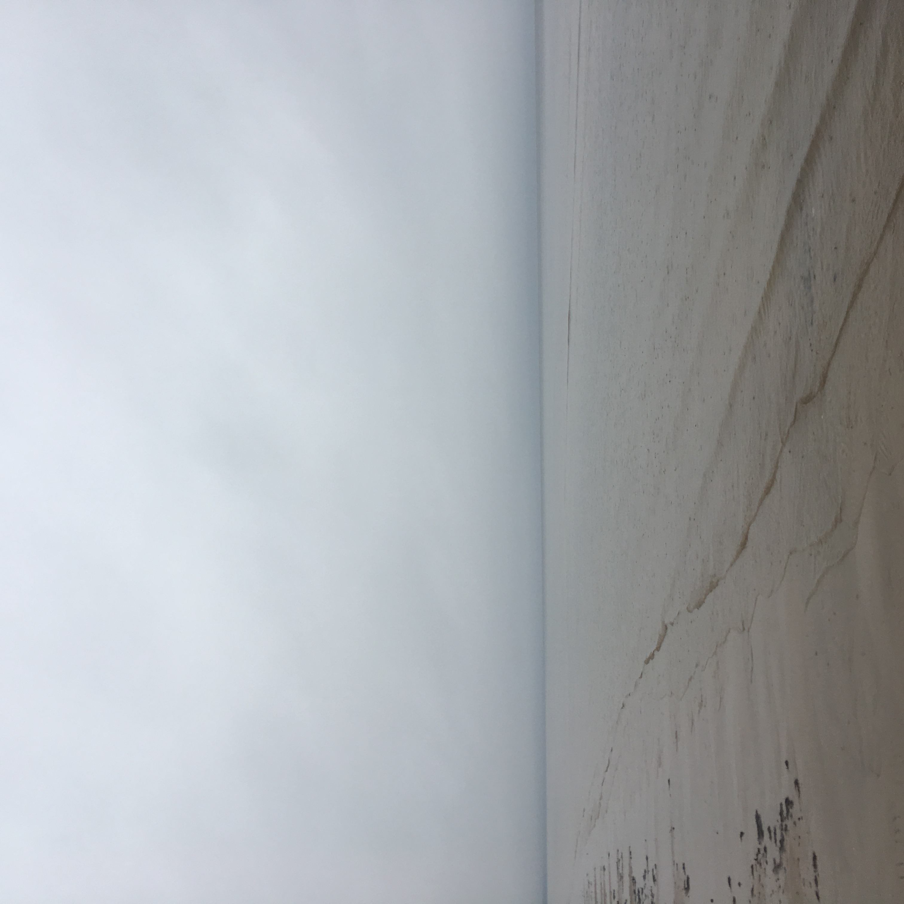
Pärnu Bay ( et, Pärnu laht) is a bay in the northeastern part of the Gulf of Livonia (Gulf of Riga), in southern Estonia. Geography It has an area of 411 km2. Retrieved May 8, 2015. The maximum depth in the mouth of the bay is 12 m. The banks are low-lying, sandy in some places. The of the water in the bay is 0-0,8 ppm in the spring and up to 5.5 ppm in autumn. There are several rivers flowing into the gulf, the largest is the |
Pärnu
Pärnu () is the fourth largest city in Estonia. Situated in southwest Estonia, Pärnu is located south of the Estonian capital, Tallinn, and west of Estonia's second largest city, Tartu. The city sits off the coast of Pärnu Bay, an inlet of the Gulf of Riga, which is a part of the Baltic Sea. In the city, the Pärnu River drains into the Gulf of Riga. Pärnu is a popular summer holiday resort town among Estonians with many hotels, restaurants and large beaches. The city is served by Pärnu Airport. History Perona (german: Alt-Pernau, links=no, et, Vana-Pärnu, links=no), which was founded by the bishop of Ösel–Wiek , suffered heavily under pressure of the concurrent town, and was finally destroyed . Another town, Embeke (later german: Neu-Pernau, links=no, et, Uus-Pärnu, links=no) was founded by the Livonian Order, who began building an Ordensburg nearby in 1265. The latter town, then known by the German name of , was a member of the Hanseatic League and an impor ... [...More Info...] [...Related Items...] OR: [Wikipedia] [Google] [Baidu] |
Pärnu (river)
The Pärnu ( et, Pärnu jõgi) is a river in Estonia. It drains into the Pärnu Bay, which is an inlet of the Gulf of Riga. At 144 km, it is one of the longest rivers in Estonia, with a basin area of 6,920 km2 and an average discharge of 64.4 m³/s. Description The Pärnu is the second longest river in Estonia at , and one of only ten rivers in the country which is longer than . Its catchment area is , occupying roughly one-sixth of the landmass of Estonia and one of only 15 catchment areas of Estonian rivers which exceeds . Its sources are in the karst upland of Pandivere, in north-eastern Estonia, and its main tributaries join the river from the upland of Sakala. Due to its length, the river Pärnu passes through most of the landscape types found in Estonia. The rivers' surroundings are dominated by agriculture and its upper reaches in Järva County is considered some of the best arable land in Estonia. In the area around Paide town, the river flows through forests and ... [...More Info...] [...Related Items...] OR: [Wikipedia] [Google] [Baidu] |
Gulf Of Riga
The Gulf of Riga, Bay of Riga, or Gulf of Livonia ( lv, Rīgas līcis, et, Liivi laht) is a bay of the Baltic Sea between Latvia and Estonia. The island of Saaremaa (Estonia) partially separates it from the rest of the Baltic Sea. The main connection between the gulf and the Baltic Sea is the Irbe Strait. The Gulf of Riga, as a sub-basin of the Baltic, also includes the Väinameri Sea in the West Estonian archipelago. Geography Extent The International Hydrographic Organization defines the Gulf of Riga's western limit as "A line running from Lyser Ort (57°34'N), in Latvia, to the South extreme of Œsel Island, through this island to Pammerort (22°34'E), thence to Enmast Point, the S extreme of Dagö, through Dagö to Takhkona Point, the North extreme thereof, and on to Spithamn Point in Estonia". Islands Major islands in the gulf include Saaremaa, Kihnu, and Ruhnu, which are all controlled by Estonia. Kihnu covers an area of . Saaremaa island is responsible for ... [...More Info...] [...Related Items...] OR: [Wikipedia] [Google] [Baidu] |
Baltic Sea
The Baltic Sea is an arm of the Atlantic Ocean that is enclosed by Denmark, Estonia, Finland, Germany, Latvia, Lithuania, Poland, Russia, Sweden and the North and Central European Plain. The sea stretches from 53°N to 66°N latitude and from 10°E to 30°E longitude. A marginal sea of the Atlantic, with limited water exchange between the two water bodies, the Baltic Sea drains through the Danish Straits into the Kattegat by way of the Øresund, Great Belt and Little Belt. It includes the Gulf of Bothnia, the Bay of Bothnia, the Gulf of Finland, the Gulf of Riga and the Bay of Gdańsk. The " Baltic Proper" is bordered on its northern edge, at latitude 60°N, by Åland and the Gulf of Bothnia, on its northeastern edge by the Gulf of Finland, on its eastern edge by the Gulf of Riga, and in the west by the Swedish part of the southern Scandinavian Peninsula. The Baltic Sea is connected by artificial waterways to the White Sea via the White Sea–Baltic Canal and to the German ... [...More Info...] [...Related Items...] OR: [Wikipedia] [Google] [Baidu] |
Per Mille
Per mille (from Latin , "in each thousand") is an expression that means parts per thousand. Other recognised spellings include per mil, per mill, permil, permill, or permille. The associated sign is written , which looks like a percent sign with an extra zero or o in the divisor. The term occurs so rarely in English that major dictionaries do not agree on the spelling and some major dictionaries such as '' Macmillan'' do not even contain an entry. The term is more common in other European languages where it is used to express fractions smaller than 1%. One common usage is blood alcohol content, which is usually expressed as a percentage in English-speaking countries. Per mille should not be confused with parts per million (ppm). Computer systems The code point for the glyph is included in the General Punctuation block of Unicode characters: .Unicode.General Punctuation. 2014. Accessed 5 Aug 2014. It may be typed using , , , or according to operating system. Note that ... [...More Info...] [...Related Items...] OR: [Wikipedia] [Google] [Baidu] |
Gulf Of Livonia
The Gulf of Riga, Bay of Riga, or Gulf of Livonia ( lv, Rīgas līcis, et, Liivi laht) is a bay of the Baltic Sea between Latvia and Estonia. The island of Saaremaa (Estonia) partially separates it from the rest of the Baltic Sea. The main connection between the gulf and the Baltic Sea is the Irbe Strait. The Gulf of Riga, as a sub-basin of the Baltic, also includes the Väinameri Sea in the West Estonian archipelago. Geography Extent The International Hydrographic Organization defines the Gulf of Riga's western limit as "A line running from Lyser Ort (57°34'N), in Latvia, to the South extreme of Œsel Island, through this island to Pammerort (22°34'E), thence to Enmast Point, the S extreme of Dagö, through Dagö to Takhkona Point, the North extreme thereof, and on to Spithamn Point in Estonia". Islands Major islands in the gulf include Saaremaa, Kihnu, and Ruhnu, which are all controlled by Estonia. Kihnu covers an area of . Saaremaa island is responsible for ... [...More Info...] [...Related Items...] OR: [Wikipedia] [Google] [Baidu] |
Estonia
Estonia, formally the Republic of Estonia, is a country by the Baltic Sea in Northern Europe. It is bordered to the north by the Gulf of Finland across from Finland, to the west by the sea across from Sweden, to the south by Latvia, and to the east by Lake Peipus and Russia. The territory of Estonia consists of the mainland, the larger islands of Saaremaa and Hiiumaa, and over 2,200 other islands and islets on the eastern coast of the Baltic Sea, covering a total area of . The capital city Tallinn and Tartu are the two largest urban areas of the country. The Estonian language is the autochthonous and the official language of Estonia; it is the first language of the majority of its population, as well as the world's second most spoken Finnic language. The land of what is now modern Estonia has been inhabited by '' Homo sapiens'' since at least 9,000 BC. The medieval indigenous population of Estonia was one of the last " pagan" civilisations in Europe to adopt Ch ... [...More Info...] [...Related Items...] OR: [Wikipedia] [Google] [Baidu] |
Salinity
Salinity () is the saltiness or amount of salt dissolved in a body of water, called saline water (see also soil salinity). It is usually measured in g/L or g/kg (grams of salt per liter/kilogram of water; the latter is dimensionless and equal to ‰). Salinity is an important factor in determining many aspects of the chemistry of natural waters and of biological processes within it, and is a thermodynamic state variable that, along with temperature and pressure, governs physical characteristics like the density and heat capacity of the water. A contour line of constant salinity is called an ''isohaline'', or sometimes ''isohale''. Definitions Salinity in rivers, lakes, and the ocean is conceptually simple, but technically challenging to define and measure precisely. Conceptually the salinity is the quantity of dissolved salt content of the water. Salts are compounds like sodium chloride, magnesium sulfate, potassium nitrate, and sodium bicarbonate which dissolve into ions ... [...More Info...] [...Related Items...] OR: [Wikipedia] [Google] [Baidu] |
Bays Of Estonia
A bay is a recessed, coastal body of water that directly connects to a larger main body of water, such as an ocean, a lake, or another bay. A large bay is usually called a gulf, sea, sound, or bight. A cove is a small, circular bay with a narrow entrance. A fjord is an elongated bay formed by glacial action. A bay can be the estuary of a river, such as the Chesapeake Bay, an estuary of the Susquehanna River. Bays may also be nested within each other; for example, James Bay is an arm of Hudson Bay in northeastern Canada. Some large bays, such as the Bay of Bengal and Hudson Bay, have varied marine geology. The land surrounding a bay often reduces the strength of winds and blocks waves. Bays may have as wide a variety of shoreline characteristics as other shorelines. In some cases, bays have beaches, which "are usually characterized by a steep upper foreshore with a broad, flat fronting terrace".Maurice Schwartz, ''Encyclopedia of Coastal Science'' (2006), p. 129. Bays were s ... [...More Info...] [...Related Items...] OR: [Wikipedia] [Google] [Baidu] |
Bays Of The Baltic Sea
A bay is a recessed, coastal body of water that directly connects to a larger main body of water, such as an ocean, a lake, or another bay. A large bay is usually called a gulf, sea, sound, or bight. A cove is a small, circular bay with a narrow entrance. A fjord is an elongated bay formed by glacial action. A bay can be the estuary of a river, such as the Chesapeake Bay, an estuary of the Susquehanna River. Bays may also be nested within each other; for example, James Bay is an arm of Hudson Bay in northeastern Canada. Some large bays, such as the Bay of Bengal and Hudson Bay, have varied marine geology. The land surrounding a bay often reduces the strength of winds and blocks waves. Bays may have as wide a variety of shoreline characteristics as other shorelines. In some cases, bays have beaches, which "are usually characterized by a steep upper foreshore with a broad, flat fronting terrace".Maurice Schwartz, ''Encyclopedia of Coastal Science'' (2006), p. 129. Bays were sig ... [...More Info...] [...Related Items...] OR: [Wikipedia] [Google] [Baidu] |


