|
Provincial Highway 86 (Taiwan)
Provincial Highway 86 () is an expressway, which begins in South District, Tainan on Provincial Highway No. 17 and ends in Guanmiao District, Tainan on National Highway No. 3 in Taiwan. Length The total length is 20 km. Exit List The entire route is within Tainan City. {, class="plainrowheaders wikitable" , - !scope=col, City !scope=col, Location !scope=col, km !scope=col, Mile !scope=col, Exit !scope=col, Name !scope=col, Destinations !scope=col, Notes , - Major Cities Along the Route *Tainan City Intersections with other Freeways and Expressways * National Highway No. 1 at Rende JCT. in Rende, Tainan * National Highway No. 3 at Guanmiao IC. in Guanmiao, Tainan Guanmiao District () is a rural district in southeastern Tainan, Taiwan. History After the handover of Taiwan from Japan to the Republic of China in 1945, Guanmiao was organized as a rural township of Tainan County. On 25 December 2010, Taina ... See also * Highway system in Tai ... [...More Info...] [...Related Items...] OR: [Wikipedia] [Google] [Baidu] |
South District, Tainan
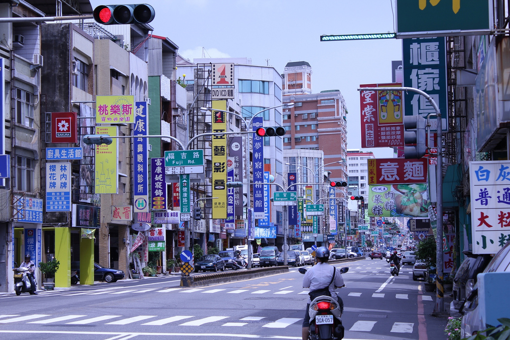
South District () is a District (Taiwan), district home to 121,133 people located in Tainan, Taiwan. History In February 2002, Qingquan Village and Longgang Village were combined to be Kunni Village; Songshan Village and Nanshan Village were merged into Songan Village; Zhonghe Village, Juexin Village and Haifeng Village were merged into Yongning Village; Nandu Village was divided into Nandu Village and Nanhua Village. In February 2006, Xingzhong Village was merged into Mingde Village, bringing the total villages in the district to become 39. Geography * Population: 125,734 (January 2016) * Area: 28.0383 km2 Administrative divisions The map of division of South District. Tourist attractions * Blueprint Culture and Creative Park * Tainan City Hakka Assembly Hall of Culture * Tainan Municipal Baseball Stadium Education * Senior High School ** National Tainan Commercial Vocational Senior High School ** Tainan Municipal Nan-Ning Senior High School ** Liu-Sin Senior High Sc ... [...More Info...] [...Related Items...] OR: [Wikipedia] [Google] [Baidu] |
Hunei District
Hunei District () is a rural district in Kaohsiung City, Taiwan. History After the handover of Taiwan from Japan to the Republic of China in 1945, Hunei was organized as a rural township of Kaohsiung County. On 25 December 2010, Kaohsiung County was merged with Kaohsiung City and Hunei was upgraded to a district of the city. Administrative divisions The district consists of Haishan, Liujia, Taiye, Gongguan, Yecuo, Dahu, Tianwei, Hunei, Haipu, Wenxian, Zhongxian, Yixian, Zhongxing and Hutung Village. Politics The district is part of Kaohsiung City Constituency II electoral district for Legislative Yuan. Education * Tung Fang Design University Tourist attractions * Hankou Canal * Mausoleum of Lord Ningjing, Ming Dynasty * Shigeo Fukuda Design Museum * TSC Mini Train Old Rail Track Reconstruction * Yuemeichi Ciji Temple (月眉池慈济宫) * Dahu Night Market * Wei Zi Nei Night Market Notable natives * Lin Yi-chuan, baseball player See also * Kaohsiung ... [...More Info...] [...Related Items...] OR: [Wikipedia] [Google] [Baidu] |
Guanmiao, Tainan
Guanmiao District () is a rural district in southeastern Tainan, Taiwan. History After the handover of Taiwan from Japan to the Republic of China in 1945, Guanmiao was organized as a rural township of Tainan County. On 25 December 2010, Tainan County was merged with Tainan City and Guanmiao was upgraded to a district of the city. Geography * Area: 53.64 km2 * Population: 34,693 people (January 2016) Administrative divisions The district consists of Guanmiao, Shanxi, Xiangyang, Beishi, Xinpu, Xinguang, Wujia, Tungshi, Songjiao, Shenkeng, Budai, Beitou, Xiahu, Huayuan and Nanxiong Village. Tourist attractions * Datan Lake Wanglai Park * Fang Family Shrine * Guanmiao Forest Park * Guanmiao Shansi Temple * Hills of Seven Constellations * Sinfeng Church * Thousand-Buddha Bodhi Temple * Tiesian Bridge * Yu Zen Retirement Center Transportation Guanmiao Service Area and an interchange of the Formosa Freeway is located in here. Notable natives * Kuo Kuo-wen, De ... [...More Info...] [...Related Items...] OR: [Wikipedia] [Google] [Baidu] |
Tianliao District
Tianliao District () is a suburban district of Kaohsiung City, Taiwan. History After the handover of Taiwan from Japan to the Republic of China in 1945, Tianliao was organized as a rural township of Kaohsiung County. On 25 December 2010, Kaohsiung County merged with Kaohsiung City and Tianliao was upgraded to a district of the city. Administrative divisions The district consists of Lupu, Nanan, Datong, Tianliao, Qixing, Chongde, Xide, Sanhe, Guting and Xinxing Village.https://www.cec.gov.tw/pc/en/TV/nm64000002200000000.html Tourist attractions * Agongdian Reservoir * Chaoyuan Temple (朝元寺) * Danantian Fude Temple (大南天福德祠) * Lyu Family Ancient House * Mount Matou * Narrow Sky * Rihyue Temple (日月禪寺) * Shihmuru * Shihzueizai Pavilion * Tianliao Moon World Notable natives * Su Jain-rong, Minister of Finance See also * Kaohsiung Kaohsiung City (Mandarin Chinese: ; Wade–Giles: ''Kao¹-hsiung²;'' Pinyin: ''Gāoxióng'') is a special ... [...More Info...] [...Related Items...] OR: [Wikipedia] [Google] [Baidu] |
Xinhua District, Tainan
Sinhua District, United States National Geospatial-Intelligence Agency (), alternatively spelled Xinhua, is a suburban district in central Tainan, Taiwan. History Before the Dutch and Han Chinese invaded, this region was home to a community of Taiwanese aborigines, the Siraya. In 1624, the VOC occupied Tayuan (modern day Anping, Tainan). In the past, the Siraya indigenous tribe called this place Tavocan ("land of hill and forest"). ''Tavakan'' was a village of about a thousand people; the name was also written ''Taffacan'', ''Tavocan'', ''Tavacang'', and ''Davocan'' in Dutch records. The village grew into the market-town of ''Twa-bak-kang'' (), about southeast of ''Sin-kang'' (modern-day Sinshih). After 1627, the VOC sent missionaries into neighboring districts. In 1635, George Candidius, a Dutch pastor, advised Pieter Nuyts, the leader of the Dutch VOC in Taiwan, that the VOC would have to conquer the aborigines before they could be controlled. In 1636, eighteen tribal ... [...More Info...] [...Related Items...] OR: [Wikipedia] [Google] [Baidu] |
THSR Tainan Station
Tainan () is a railway station in Tainan, Taiwan served by Taiwan High Speed Rail, and is connected to station for TRA services. Tainan HSR station is about 17 km away from Tainan railway station. Overview Tainan station was designed by Fei & Cheng Associates and constructed primarily by Shimizu Corporation. The total floor area is and is constructed from steel and reinforced concrete. The station is an elevated structure with two side platforms. The roof of the station building and the platform are horizontally connected, and an oval-shaped skylight is installed in the center of the station hall. History * 2006-11-03: Opened for service. * 2007-01-05: The segment from Banqiao to opened for service. Trains begin stopping at Tainan Station. Platform layout Station layout Shuttle Bus The station has a Bus stop located nearby Exit 2. *Bus Route ** HSR Tainan Station ─ Tainan City Hall ** HSR Tainan Station ─ Chimei Medical Center ** HSR Tainan Station ─ Guanmi ... [...More Info...] [...Related Items...] OR: [Wikipedia] [Google] [Baidu] |
Gueiren District
Gueiren District, United States National Geospatial-Intelligence Agency () is a rural district in southern Tainan, Taiwan. It is home to the Tainan HSR station. History After the Retrocession Day, handover of Taiwan from Japan to the Republic of China (1912–1949), Republic of China in 1945, Rende was organized as a Township (Taiwan), rural township of Tainan County. On 25 December 2010, Tainan County was merged with Tainan City and Rende was upgraded to a district A district is a type of administrative division that, in some countries, is managed by the local government. Across the world, areas known as "districts" vary greatly in size, spanning regions or counties, several municipalities, subdivisions o ... of the Special municipality (Taiwan), city. Administrative divisions The district consists of Nanbao, Liujia, Guiren, Houshi, Gucuo, Xucuo, Kanxi, Kantung, Lunding, Shalun, Datan, Wutung, Bajia, Qijia, Mamiao, Xipu, Damiao, Nanxing, Xincuo, Guinan and Wenhua Villag ... [...More Info...] [...Related Items...] OR: [Wikipedia] [Google] [Baidu] |
Lujhu District
Lujhu District, United States National Geospatial-Intelligence Agency () is a suburban district of Kaohsiung City, Taiwan. History After the handover of Taiwan from Japan to the Republic of China in 1945, Lujhu was organized as a rural township of Kaohsiung County. On 25 December 2010, Kaohsiung County was merged with Kaohsiung City and Lujhu was upgraded to a district of the city. Administrative divisions The district consists of Zhuhu, Dingliao, Xinda, Houxiang, Beiling, Shexi, Jiabei, Jianan, Xiakeng, Zhuyuan, Zhutung, Zhuxi, Wenbei, Wennan, SanyevYaliao, Shetung, Shezhong, Zhunan and Shenan Village.https://www.cec.gov.tw/pc/en/TV/nm64000002400000000.html Politics The district is part of Kaohsiung City Constituency II electoral district for Legislative Yuan. Education * Kao Yuan University * Shu Zen College of Medicine and Management Transportation * TRA Dahu Station * TRA Luzhu Station Tourist attractions * Yijia Guanyin Temple * Huashan Temple (dedicat ... [...More Info...] [...Related Items...] OR: [Wikipedia] [Google] [Baidu] |
Anping District
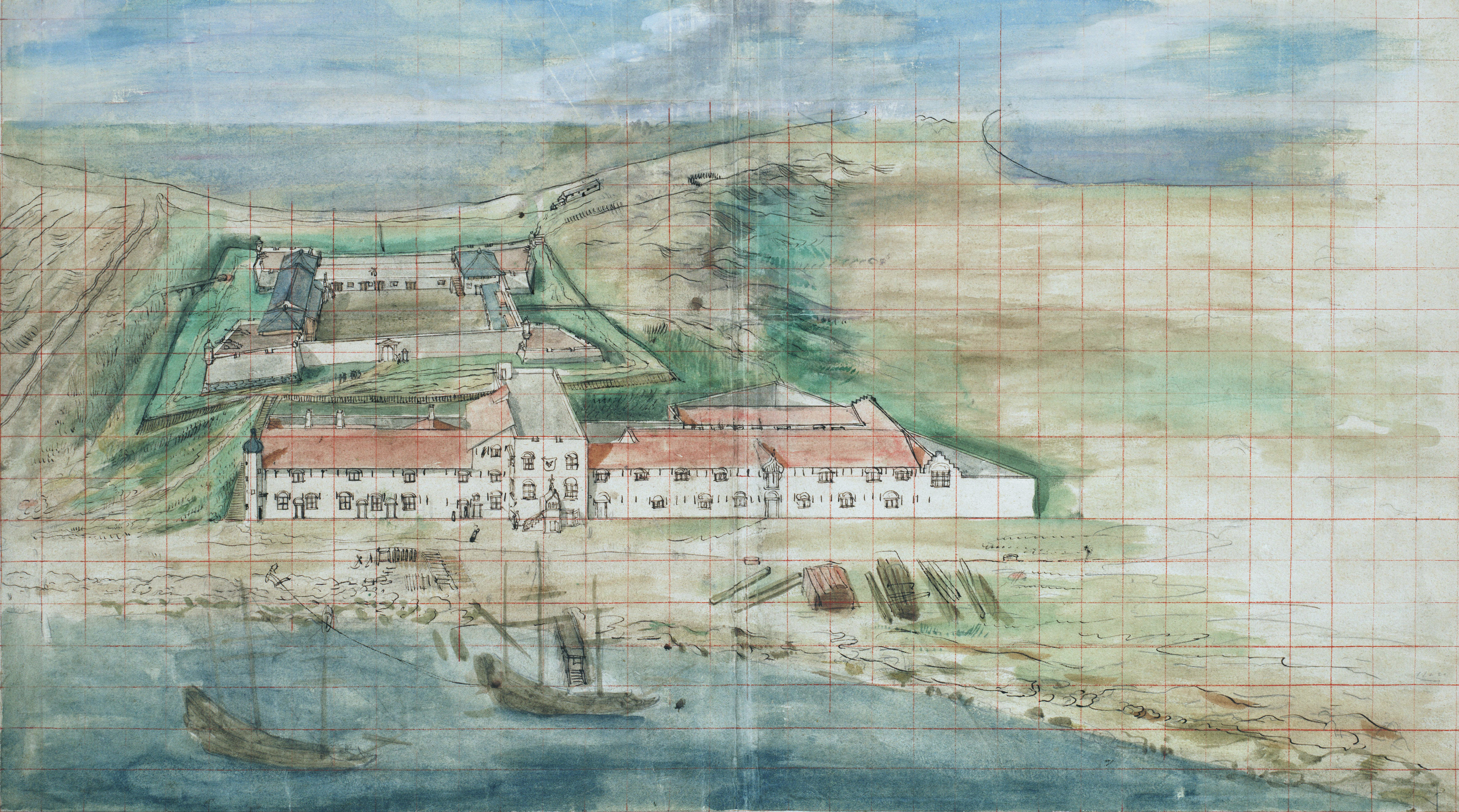
Anping District is a district of Tainan, Taiwan. In March 2012, it was named one of the ''Top 10 Small Tourist Towns'' by the Tourism Bureau of Taiwan. It is home to 67,263 people. Name The older place name of Tayouan derives from the ethnonym of a nearby Taiwanese aboriginal tribe, and was written by the Dutch and Portuguese variously as ''Taiouwang'', ''Tayowan'', etc. In his translations of Dutch records, missionary William Campbell used the variant ''Tayouan'' and wrote that ''Taoan'' and ''Taiwan'' also occur. As Dutch spelling varied greatly at the time (see History of Dutch orthography), other variants may be seen. The name was also transliterated into Chinese characters variously as , , , , and . After the Dutch were ousted by Koxinga, Han immigrants renamed the area "Anping" after the Anping Bridge in Quanzhou, Fujian. Soon after Qing rule was established in 1683, the name "Taiwan" () was officially used to refer to the whole island with the establishment of ... [...More Info...] [...Related Items...] OR: [Wikipedia] [Google] [Baidu] |
Tainan City
Tainan (), officially Tainan City, is a special municipality in southern Taiwan facing the Taiwan Strait on its western coast. Tainan is the oldest city on the island and also commonly known as the "Capital City" for its over 200 years of history as the capital of Taiwan under Koxinga and later Qing rule. Tainan's complex history of comebacks, redefinitions and renewals inspired its popular nickname "the Phoenix City". Tainan is classified as a "Sufficiency" level global city by the Globalization and World Cities Research Network. As Taiwan's oldest urban area, Tainan was initially established by the Dutch East India Company (VOC) as a ruling and trading base called Fort Zeelandia during the period of Dutch rule on the island. After Dutch colonists were defeated by Koxinga in 1661, Tainan remained as the capital of the Tungning Kingdom until 1683 and afterwards the capital of Taiwan Prefecture under Qing Dynasty rule until 1887, when the new provincial capital was first mo ... [...More Info...] [...Related Items...] OR: [Wikipedia] [Google] [Baidu] |


