|
Piccadilly, Warwickshire
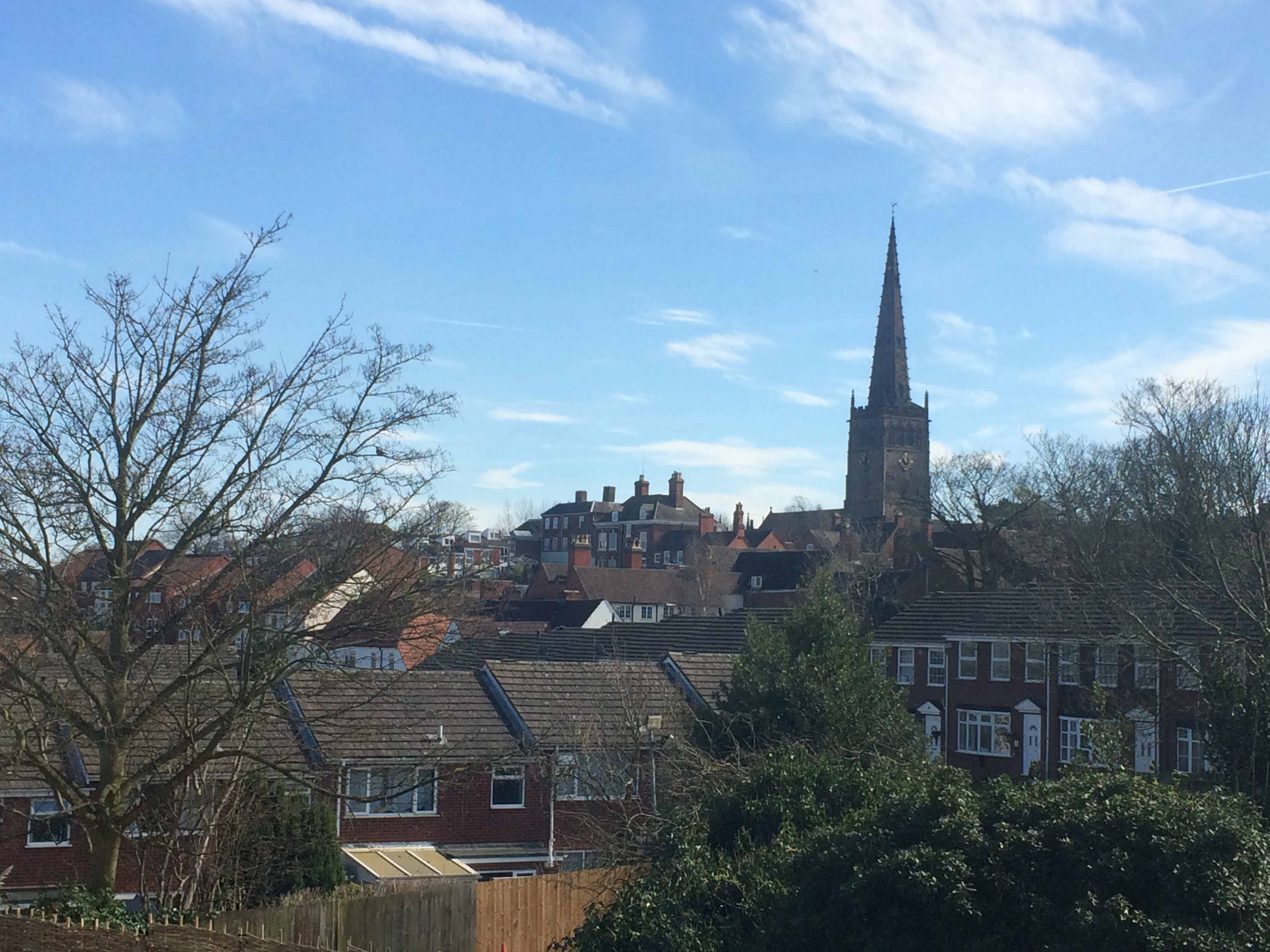
Piccadilly is a small village in the North Warwickshire district of the county of Warwickshire in England. It is located near to the larger village of Kingsbury (where population details are included), and is four miles south of Tamworth. History Piccadilly was built in 1904 to house miners who worked at the nearby Kingsbury Colliery, and the village was built on land belonging to the mine. It consisted of two rows of three-storey houses along one main street. Piccadilly earned its name from Piccadilly in London, which was the home of Colonel Dibley, one of the village's founders. Dibley asked the miners what they would like to call their new village, but when nobody could think of an appropriate name, he chose Piccadilly. In 1908 a clubhouse was built. It had been turned into a pub named ''The Jewel in the Crown'' but this has now been demolished and social housing built. The village remained much the same until 1947 when prefabricated housing was built to house more minewor ... [...More Info...] [...Related Items...] OR: [Wikipedia] [Google] [Baidu] |
North Warwickshire
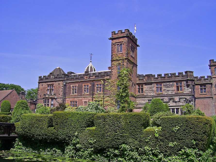
North Warwickshire is a local government district with borough status in the ceremonial county of Warwickshire, West Midlands, England. Outlying settlements in the borough include the two towns of Atherstone (where the council is based) and Coleshill. Notable villages in the borough include Dordon, Polesworth, Kingsbury, Water Orton and Shustoke. The North Warwickshire district was created on 1 April 1974 by a merger of the Atherstone Rural District and parts of the Meriden Rural District (the rest of which was merged into the West Midlands county). North Warwickshire is a mostly rural area with several small market towns and a number of former mining villages. The area historically had a large coal mining industry, but this has now all died out. The last coal mine in the area, Daw Mill at Arley, closed in 2013. The district is relatively remote from the rest of Warwickshire, as the county is almost split in two by the West Midlands Boroughs of Solihull and Coventry. The boro ... [...More Info...] [...Related Items...] OR: [Wikipedia] [Google] [Baidu] |
Labour Party (UK)
The Labour Party is a political party in the United Kingdom that has been described as an alliance of social democrats, democratic socialists and trade unionists. The Labour Party sits on the centre-left of the political spectrum. In all general elections since 1922, Labour has been either the governing party or the Official Opposition. There have been six Labour prime ministers and thirteen Labour ministries. The party holds the annual Labour Party Conference, at which party policy is formulated. The party was founded in 1900, having grown out of the trade union movement and socialist parties of the 19th century. It overtook the Liberal Party to become the main opposition to the Conservative Party in the early 1920s, forming two minority governments under Ramsay MacDonald in the 1920s and early 1930s. Labour served in the wartime coalition of 1940–1945, after which Clement Attlee's Labour government established the National Health Service and expanded the welfa ... [...More Info...] [...Related Items...] OR: [Wikipedia] [Google] [Baidu] |
CV Postcode Area
The CV postcode area, also known as the Coventry postcode area, is a group of 24 postcode districts in central England, within eleven post towns. These cover the eastern part of the West Midlands county (including Coventry), most of Warwickshire (including Atherstone, Bedworth, Kenilworth, Leamington Spa, Nuneaton, Rugby, Shipston-on-Stour, Southam, Stratford-upon-Avon and Warwick), a part of west Leicestershire and a very small part of Northamptonshire. The postcode areas CV1 to CV6 incorporate the city of Coventry and its contiguous suburbs, with CV7 covering several rural and suburban villages to the immediate west and north of the city (where Coventry remains the post town), ie, the eastern portion of Solihull Borough and the southernmost areas of the Nuneaton & Bedworth District. CV8 to CV47 covers all other post towns in the postcode area, to the north, south and east of Coventry (full coverage listed below). The CV area borders seven other postcode areas : B (Birming ... [...More Info...] [...Related Items...] OR: [Wikipedia] [Google] [Baidu] |
B Postcode Area
The B postcode area, also known as the Birmingham postcode area,Royal Mail, ''Address Management Guide'', (2004) is a group of 79 postcode districts in central England, within 15 post towns. These cover the central portion of the West Midlands (including Birmingham, West Bromwich, Sutton Coldfield, Smethwick, Solihull, Halesowen, Cradley Heath, Oldbury and Rowley Regis), plus northeast Worcestershire (including Bromsgrove and Redditch), north and west Warwickshire (including Alcester, Studley and Henley-in-Arden), and part of southeast Staffordshire (including Tamworth) and a very small part of Leicestershire. __TOC__ Coverage The approximate coverage of the postcode districts: ! B1 , BIRMINGHAM , Birmingham City Centre, Broad Street (east) , Birmingham , - ! B2 , BIRMINGHAM , Birmingham City Centre, New Street , Birmingham , - ! B3 , BIRMINGHAM , Birmingham City Centre, Newhall Street , Birmingham , - ! B4 , BIRMINGHAM , Birmingham City Centre, Corporation ... [...More Info...] [...Related Items...] OR: [Wikipedia] [Google] [Baidu] |
Sutton Coldfield
Sutton Coldfield or the Royal Town of Sutton Coldfield, known locally as Sutton ( ), is a town and civil parish in the City of Birmingham, West Midlands, England. The town lies around 8 miles northeast of Birmingham city centre, 9 miles south of Lichfield, 7 miles southwest of Tamworth and 7 miles east of Walsall. Sutton Coldfield and its surrounding suburbs are governed under Birmingham City Council for local government purposes but the town has its own town council which governs the town and its surrounding areas by running local services and electing a mayor to the council. It is in the Historic county of Warwickshire, and in 1974 it became part of Birmingham and the West Midlands metropolitan county under the Local Government Act 1972. History Etymology The etymology of the name Sutton appears to be from "South Town". The name "Sutton Coldfield" appears to come from this time, being the "south town" (i.e. south of Tamworth and/or Lichfield) on the edge of the "col f ... [...More Info...] [...Related Items...] OR: [Wikipedia] [Google] [Baidu] |
Good Hope Hospital
Good Hope Hospital is a teaching hospital in the Sutton Coldfield area of Birmingham, England. Covering north Birmingham and south east Staffordshire, it is managed by the University Hospitals Birmingham NHS Foundation Trust. History The hospital has its origins in a Victorian house built for the Rev. Riland Bedford, the local rector, in 1882. Originally known as Broomieclose, it became known as Good Hope House after a change of ownership in 1912. It was converted into a convalescent centre in 1943 and two single-storey wards were added in the 1950s to act as a facility for the potential evacuation of patients from Birmingham in the event of a nuclear attack. The Sheldon Unit and the Fothergill Block were added in 1967, the Richard Salt Unit opened in 1971 and new facilities for endoscopy, outpatients and diagnostic services followed in 2005. Services Good Hope is a teaching hospital with library and learning facilities in the Partnership Learning Centre, which is part-funded ... [...More Info...] [...Related Items...] OR: [Wikipedia] [Google] [Baidu] |
Emergency Department
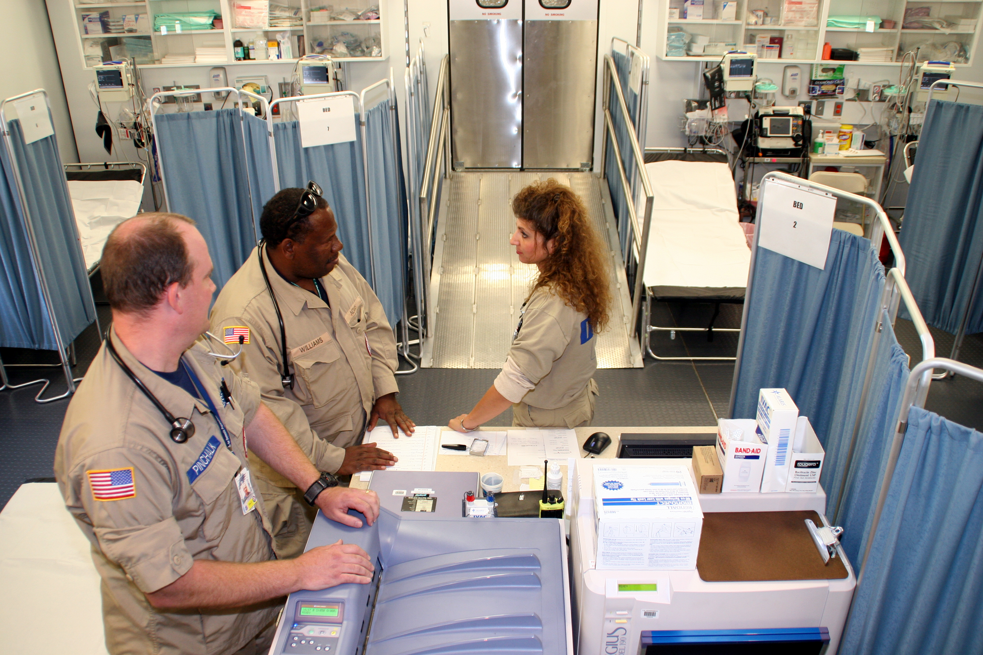
An emergency department (ED), also known as an accident and emergency department (A&E), emergency room (ER), emergency ward (EW) or casualty department, is a medical treatment facility specializing in emergency medicine, the acute care of patients who present without prior appointment; either by their own means or by that of an ambulance. The emergency department is usually found in a hospital or other primary care center. Due to the unplanned nature of patient attendance, the department must provide initial treatment for a broad spectrum of illnesses and injuries, some of which may be life-threatening and require immediate attention. In some countries, emergency departments have become important entry points for those without other means of access to medical care. The emergency departments of most hospitals operate 24 hours a day, although staffing levels may be varied in an attempt to reflect patient volume. History Accident services were provided by workmen's compensation ... [...More Info...] [...Related Items...] OR: [Wikipedia] [Google] [Baidu] |
Nuneaton
Nuneaton ( ) is a market town in the borough of Nuneaton and Bedworth in northern Warwickshire, England, close to the county border with Leicestershire and West Midlands County.OS Explorer Map 232 : Nuneaton & Tamworth: (1:25 000) : Nuneaton's population at the 2021 census was 94,634, an increase from 86,552 at the 2011 census making it the largest town in Warwickshire. The author George Eliot was born on a farm on the Arbury Estate just outside Nuneaton in 1819 and lived in the town for much of her early life. Her novel ''Scenes of Clerical Life'' (1858) depicts Nuneaton. There is a hospital named after her, The George Eliot Hospital. There is also a statue of George Eliot in the town centre. History Early history Nuneaton was originally an Anglo-Saxon settlement known as 'Etone' or 'Eaton', which translates literally as 'settlement by water', referring to the River Anker. 'Etone' was listed in the Domesday Book as a small farming settlement with a population of around 1 ... [...More Info...] [...Related Items...] OR: [Wikipedia] [Google] [Baidu] |
George Eliot Hospital
George Eliot Hospital is a single site hospital located in Nuneaton, Warwickshire, it is managed by the George Eliot Hospital NHS Trust. It provides a full range of emergency and elective medical services, including maternity services, to the local area. The Hospital is one of many local buildings named after Nuneaton-born author George Eliot. Additionally, many of the hospital's surgical and medical wards are named after characters within George Eliot novels (e.g. Felix Holt, Arbury lodge, Caterina, Adam Bede, Dolly Winthrop). The Hospital also has a set of operating theatres on the first floor. History The George Eliot Hospital opened in 1948. The hospital established its own museum in 1982: originally intended as a teaching aid, the museum evolved into one of the few NHS-owned museums in the country until cost-cutting measures forced it to close. The hospital expanded in July 1993, when the Manor Hospital, which had provided the Nuneaton's accident and emergency services, o ... [...More Info...] [...Related Items...] OR: [Wikipedia] [Google] [Baidu] |
Tamworth And Lichfield College
South Staffordshire College is a further education college located over four sites in Staffordshire, England. The college was created in 2009 as a result of a merger of Cannock Chase Technical College, Rodbaston College and Tamworth and Lichfield College. It now operates over five sites in Lichfield, Rodbaston (Penkridge), Cannock and 2 campuses in Tamworth. The Cannock campus was closed in July 2017 but re-opened as the Skills and Innovation Hub in August 2018. South Staffordshire College offers a range of further education courses including NVQs, apprenticeships and access courses. The college also has a higher education provision, with courses offered in conjunction with Staffordshire University and the University of Wolverhampton. The College is a sponsor of The Rural Enterprise Academy, a state-funded secondary school in Penkridge Penkridge ( ) is a village and civil parishes in England, civil parish in South Staffordshire, South Staffordshire District in Staffordsh ... [...More Info...] [...Related Items...] OR: [Wikipedia] [Google] [Baidu] |
North Warwickshire And Hinckley College
North Warwickshire and South Leicestershire College - North Warwickshire and Hinckley Campus, previously North Warwickshire and Hinckley College, is a Further Education College with main campuses in Nuneaton, Hinckley, Harrowbrook and Wigston. The college offers apprenticeships, full-time, and part-time further and higher education courses. History The college began in 1910 as the Nuneaton Technical College and the Nuneaton School of Art, with the technical college catering mainly to mining students. In 1913, the college moved to a larger building containing a laboratory, lecture room, drawing room, and handicraft room, only for the college to close between 1914 and 1919 due to the First World War. When the college reopened after the war, it changed its structure to include general education courses. The college grew further and relocated again in 1923, becoming the County Mining and Technical School in 1932. The size and scope of the education provided continued to grow over th ... [...More Info...] [...Related Items...] OR: [Wikipedia] [Google] [Baidu] |


