|
North Warwickshire
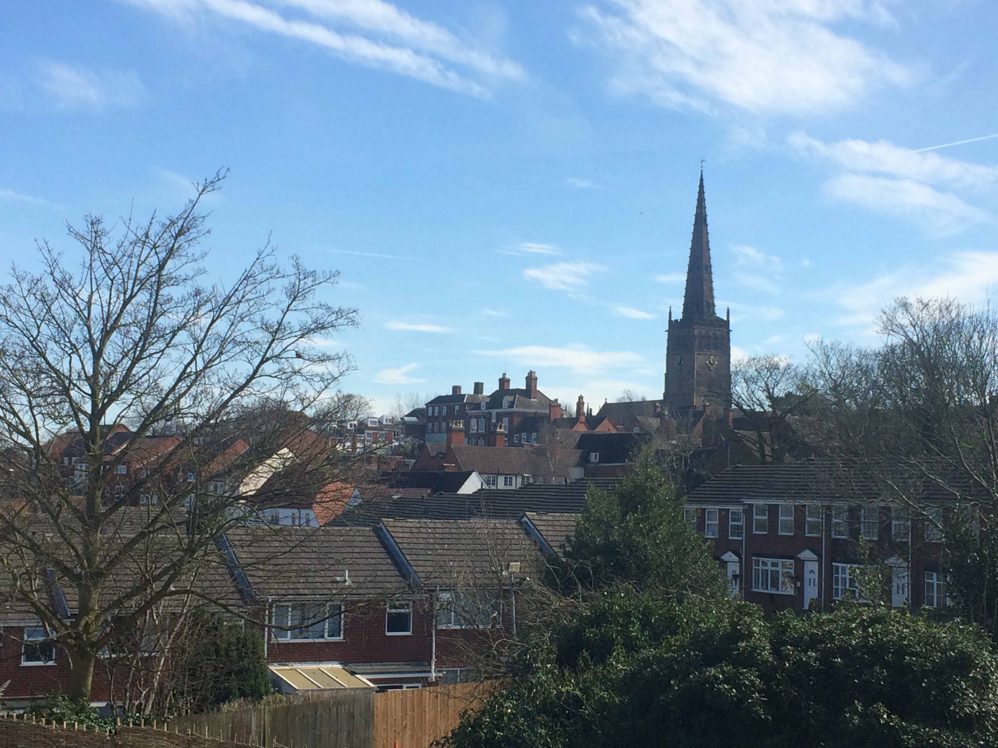
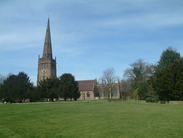
North Warwickshire is a local government district with borough status in the ceremonial county of Warwickshire, West Midlands, England. Outlying settlements in the borough include the two towns of Atherstone (where the council is based) and Coleshill. Notable villages in the borough include Dordon, Polesworth, Kingsbury, Water Orton and Shustoke. The North Warwickshire district was created on 1 April 1974 by a merger of the Atherstone Rural District and parts of the Meriden Rural District (the rest of which was merged into the West Midlands county). North Warwickshire is a mostly rural area with several small market towns and a number of former mining villages. The area historically had a large coal mining industry, but this has now all died out. The last coal mine in the area, Daw Mill at Arley, closed in 2013. The district is relatively remote from the rest of Warwickshire, as the county is almost split in two by the West Midlands Boroughs of Solihull and Coventr ... [...More Info...] [...Related Items...] OR: [Wikipedia] [Google] [Baidu] |
Borough
A borough is an administrative division in various English-speaking countries. In principle, the term ''borough'' designates a self-governing walled town, although in practice, official use of the term varies widely. History In the Middle Ages, boroughs were settlements in England that were granted some self-government; burghs were the Scottish equivalent. In medieval England, boroughs were also entitled to elect members of parliament. The use of the word ''borough'' probably derives from the burghal system of Alfred the Great. Alfred set up a system of defensive strong points ( Burhs); in order to maintain these particular settlements, he granted them a degree of autonomy. After the Norman Conquest, when certain towns were granted self-governance, the concept of the burh/borough seems to have been reused to mean a self-governing settlement. The concept of the borough has been used repeatedly (and often differently) throughout the world. Often, a borough is a single to ... [...More Info...] [...Related Items...] OR: [Wikipedia] [Google] [Baidu] |
B Postcode Area
The B postcode area, also known as the Birmingham postcode area,Royal Mail, ''Address Management Guide'', (2004) is a group of 79 postcode districts in central England, within 15 post towns. These cover the central portion of the West Midlands (including Birmingham, West Bromwich, Sutton Coldfield, Smethwick, Solihull, Halesowen, Cradley Heath, Oldbury and Rowley Regis), plus northeast Worcestershire (including Bromsgrove and Redditch), north and west Warwickshire (including Alcester, Studley and Henley-in-Arden), and part of southeast Staffordshire (including Tamworth) and a very small part of Leicestershire. __TOC__ Coverage The approximate coverage of the postcode districts: ! B1 , BIRMINGHAM , Birmingham City Centre, Broad Street (east) , Birmingham , - ! B2 , BIRMINGHAM , Birmingham City Centre, New Street , Birmingham , - ! B3 , BIRMINGHAM , Birmingham City Centre, Newhall Street , Birmingham , - ! B4 , BIRMINGHAM , Birmingham City Centre, Corporat ... [...More Info...] [...Related Items...] OR: [Wikipedia] [Google] [Baidu] |
Atherstone Rural District
Atherstone Rural District was located in the administrative county of Warwickshire, England, from 1894 to 1974. It was named after its main town and administrative headquarters of Atherstone. Over the years the district gained territory on the abolition of neighbouring rural districts. In 1932, it gained part of Nuneaton Rural District and in 1965 it gained most of Tamworth Rural District. As with all rural districts, Atherstone RD was abolished in 1974 (by the Local Government Act 1972) and was merged with part of the Meriden Rural District to form the new non-metropolitan district of North Warwickshire. Civil parishes Over the eighty years of its existence, the rural district contained the following civil parishes: * Ansley *Atherstone * Austrey (from 1965)† * Baddesley Ensor * Baxterley *Bentley * Caldecote (from 1932)‡ * Dordon (created 1948 from part of Polesworth CP) * Grendon *Hartshill * Kingsbury (from 1965)† * Mancetter * Merevale * Newton Regis (from 1965)� ... [...More Info...] [...Related Items...] OR: [Wikipedia] [Google] [Baidu] |
Shustoke
Shustoke is a village in the North Warwickshire district of the county of Warwickshire in England.OS Explorer Map 232 : Nuneaton & Tamworth: (1:25 000) : The population of the civil parish at the 2011 census was 549. It is situated 2.5 miles northeast of Coleshill (the nearest town), 7.5 miles southwest of Atherstone, 9.5 miles east of Nuneaton and 12.5 miles east-northeast of Birmingham. It includes the sub-village of Church End half-a-mile to the east, where the parish church of Saint Cuthbert's is situated. History Shustoke is an ancient village and it existed before the Domesday Book. In 1086 Shustoke was recorded as 'Scotescote' meaning Scots Cottage, as ''cote'' means cottage, dwelling or house. The parish church of St Cuthbert's was erected in 1307 on the site of an earlier church or chapel. Some remains of a Celtic-type churchyard cross and reused Norman masonry can be seen. The parish registers are some of the earliest in the country and date from the reign of ... [...More Info...] [...Related Items...] OR: [Wikipedia] [Google] [Baidu] |
Water Orton
Water Orton is a village and civil parish in the North Warwickshire borough of Warwickshire in the West Midlands, England near the River Tame. It is located between Castle Bromwich and Coleshill, and borders the West Midlands metropolitan county boundary to the north, west and south. At the 2001 Census, the population was 3,573, falling to 3,444 at the 2011 Census. In the 2021 Census the population slightly rose to 3,487. Etymology Water Orton was first documented in an Assize Roll of 1262 as ''Overton'' which means farm by the bank or edge. This usage continued to be recorded through the 13th and 14th centuries, but the name ''Oreton'' is recorded in the Warwickshire Feet of Fines in 1431. ''Water Ouerton'' is used in the Parish register of Aston in 1546 and ''Water Ouerton al. Water Orton'' in the Feet of Fines of 1605 and 1652. It is now thought that Water Orton may have been included in the Domesday Book in 1086 as 'Wavre' (Over) with Castle Bromwich. History The o ... [...More Info...] [...Related Items...] OR: [Wikipedia] [Google] [Baidu] |
Kingsbury, Warwickshire
Kingsbury is a large village and civil parish in the North Warwickshire district of the county of Warwickshire, in the West Midlands region of England. The civil parish population at the 2011 census was 7,652. The village is situated between Birmingham and Tamworth, which is to the north, and overlooks the River Tame. The A51 to Chester starts from here; as does the A4097, which runs through Curdworth and Minworth before joining the A38. This continues to Junction 6 of the M6 (Spaghetti Junction) giving access to the motorway network of the Midlands and the City of Birmingham. Kingsbury is notable for the Kingsbury Water Park, a shooting range and a large oil storage depot to the north-east. The church of Saint Peter and Saint Paul dates from the 12th century and is a grade II* listed building. History The name Kingsbury is derived from the Saxon ''Chinesburie'' meaning 'royal fortified house' or 'Kings Fort'. The 'bury' part of the name means 'fort' or 'defensive w ... [...More Info...] [...Related Items...] OR: [Wikipedia] [Google] [Baidu] |
Polesworth
Polesworth is a large village and civil parish in the North Warwickshire district of Warwickshire, England. Polesworth is situated close to the northern tip of Warwickshire, adjacent to the border with Staffordshire. It is east of Tamworth, and is northwest of Atherstone, the closest towns. The border with Leicestershire is to the east, while Derbyshire is to the north. The River Anker runs through the village,OS Explorer Map 232 : Nuneaton & Tamworth: (1:25 000) which joins the River Tame at nearby Tamworth Castle. In the 2021 census the civil parish of Polesworth had a population of 8,727, inclusive of the contiguous sub-villages (often regarded as suburbs) of Birchmoor, St Helena, and Hall End directly to the south, and Warton to the East. The built-up area of Polesworth which includes the adjoining village of Dordon to the south (a separate parish) had a population of 9,913 in 2021. History The name Polesworth is derived from "pol" meaning a "pool" and "worth" me ... [...More Info...] [...Related Items...] OR: [Wikipedia] [Google] [Baidu] |
Dordon
Dordon is a village and civil parish in the North Warwickshire district of the county of Warwickshire in England and close to the border with Staffordshire. The village is located on the A5 national route and is contiguous with the larger village of Polesworth. Other nearby places include Tamworth, Atherstone, Grendon, Wood End Village, Baddesley Ensor and Nuneaton. In 2001 the population for the parish of Dordon was 3,225, reducing slightly to 3,215 at the 2011 census. History Dordon was just a row of houses until the opening of Birch Coppice mine and it has grown since then. There was a notable growth in the village in 1920 and Dordon became a civil parish in its own right on 1 April 1948, Since the late-1990s, two of the Midlands' largest business/distribution parks (namely Birch Coppice and Core 42) have continued to expand into the countryside north of the village, including the UK head office/national hub for the United Parcel Service (UPS). Governance The village h ... [...More Info...] [...Related Items...] OR: [Wikipedia] [Google] [Baidu] |
Coleshill, Warwickshire
Coleshill ( ) is a market town in the North Warwickshire district of Warwickshire, England, taking its name from the River Cole, on which it stands. It had a population of 6,481 in the 2011 Census and is situated east-northeast of Birmingham, southeast of Sutton Coldfield, south of Tamworth, northwest of Coventry by road and 13 miles (21km) west of Nuneaton. Location Coleshill is located on a ridge between the rivers Cole and Blythe which converge to the north with the River Tame. It is just to the east of the border with West Midlands county outside Birmingham. According to the 2001 Census statistics it is part of the West Midlands conurbation, despite gaps of open green belt land between Coleshill and the rest of the conurbation. The green belt narrows to approximately to the north near Water Orton, and to approximately at the southern tip of the settlement boundary where Coleshill becomes Coleshill Heath, but is in excess of wide at some points in between. H ... [...More Info...] [...Related Items...] OR: [Wikipedia] [Google] [Baidu] |
Borough Status In The United Kingdom
Borough status is granted by royal charter to local government districts in England, Wales and Northern Ireland. The status is purely honorary, and does not give any additional powers to the council or inhabitants of the district. In Scotland, similarly chartered communities were known as royal burghs, although the status is no longer granted. Origins of borough status Until the local government reforms of 1973 and 1974, boroughs were towns possessing charters of incorporation conferring considerable powers, and were governed by a municipal corporation headed by a mayor. The corporations had been reformed by legislation beginning in 1835 (1840 in Ireland). By the time of their abolition there were three types: * County boroughs * Municipal or non-county boroughs *Rural boroughs Many of the older boroughs could trace their origin to medieval charters or were boroughs by prescription, with Saxon origins. Most of the boroughs created after 1835 were new industrial, resort ... [...More Info...] [...Related Items...] OR: [Wikipedia] [Google] [Baidu] |
Nomenclature Of Territorial Units For Statistics
Nomenclature of Territorial Units for Statistics or NUTS (french: Nomenclature des unités territoriales statistiques) is a geocode standard for referencing the subdivisions of countries for statistical purposes. The standard, adopted in 2003, is developed and regulated by the European Union, and thus only covers the member states of the EU in detail. The Nomenclature of Territorial Units for Statistics is instrumental in the European Union's Structural Funds and Cohesion Fund delivery mechanisms and for locating the area where goods and services subject to European public procurement legislation are to be delivered. For each EU member country, a hierarchy of three NUTS levels is established by Eurostat in agreement with each member state; the subdivisions in some levels do not necessarily correspond to administrative divisions within the country. A NUTS code begins with a two-letter code referencing the country, as abbreviated in the European Union's Interinstitutional S ... [...More Info...] [...Related Items...] OR: [Wikipedia] [Google] [Baidu] |


.jpg)

