|
Pewley Hill
Pewley Hill is a hill, and a street so named, near Guildford in England. It links to the open space at Pewley Down and was used as the site of a semaphore station and a defensive fort in the nineteenth century. In the late 19th and early 20th centuries much of the land was built upon. Pewley Hill was part of lands granted by William the Conqueror to the Testard family. It takes its name from the de-la-Puille family who acquired it from Richard Testard in 1255. The Puille family name was also reflected in the manor of Poyle and the Poyle Charity. An Admiralty semaphore station was built at Pewley Hill in 1822 forming part of the London-Portsmouth semaphore line. The building remains, with a cupola on top which was added after the semaphore went out of use. In 1866 Guildford Corporation built a new reservoir at the top of Pewley Hill. Pewley Hill Fort (or Mobilization Centre) was built in around 1890 as part of the London Defence Positions scheme, running from Guildford alon ... [...More Info...] [...Related Items...] OR: [Wikipedia] [Google] [Baidu] |
Semaphore House, Pewley Hill
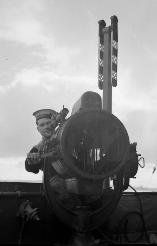
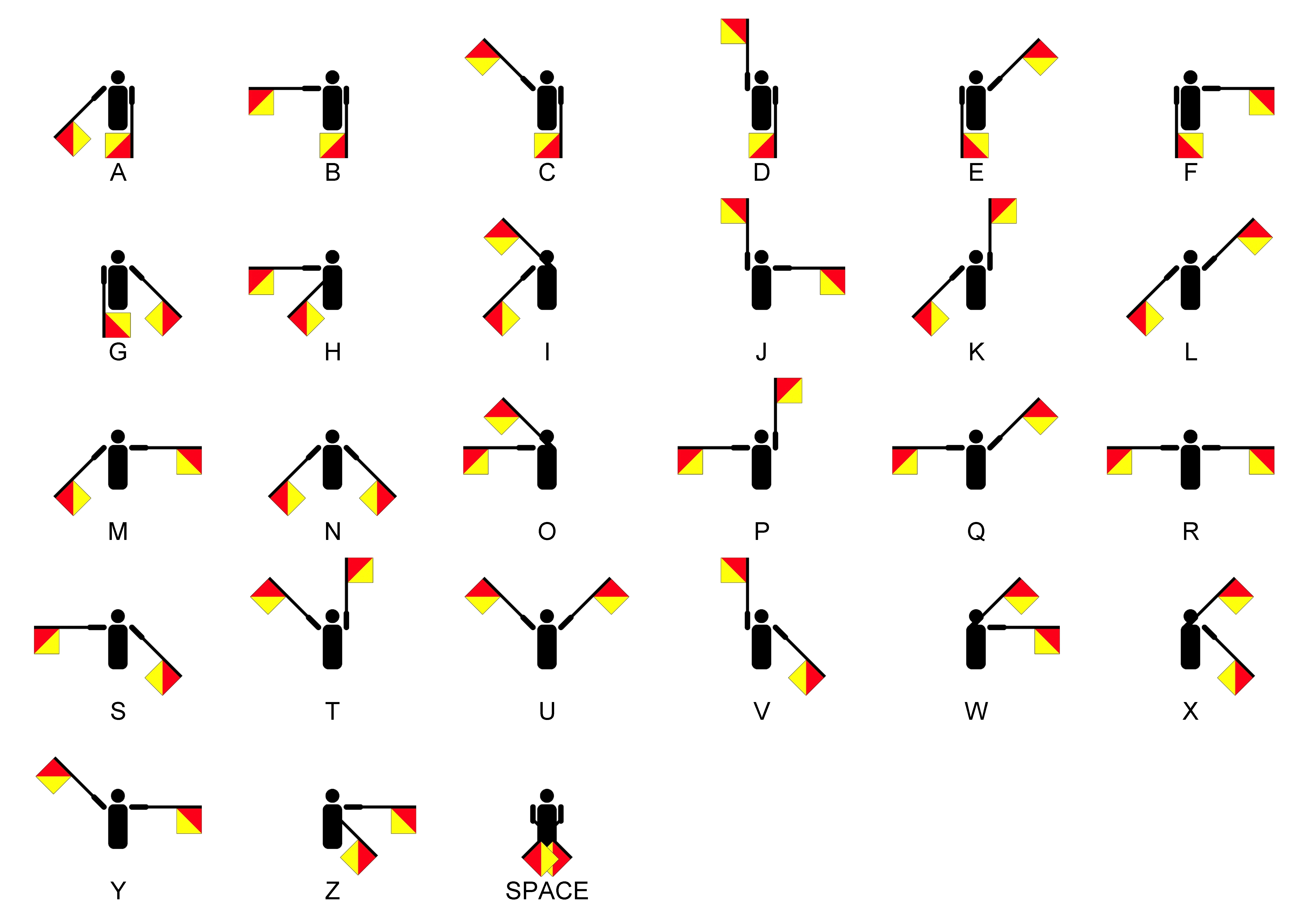
Semaphore (; ) is the use of an apparatus to create a visual signal transmitted over distance. A semaphore can be performed with devices including: fire, lights, flags, sunlight, and moving arms. Semaphores can be used for telegraphy when arranged in visually connected networks, or for traffic signalling such as in railway systems, or traffic lights in cities. Fire The Phryctoriae were a semaphore system used in Ancient Greece for the transmission of specific prearranged messages. Towers were built on selected mountaintops, so that one tower, the ''phryctoria'', would be visible to the next tower, usually twenty-miles distant. Flames were lit on one tower, then the next tower would light a flame in succession. The Byzantine beacon system was a semaphore developed in the 9th century during the Arab–Byzantine wars. The Byzantine Empire used a system of beacons to transmit messages from the border with the Abbasid Caliphate across Asia Minor to the Byzantine capital, C ... [...More Info...] [...Related Items...] OR: [Wikipedia] [Google] [Baidu] |
Guildford
Guildford () is a town in west Surrey, around southwest of central London. As of the 2011 census, the town has a population of about 77,000 and is the seat of the wider Borough of Guildford, which had around inhabitants in . The name "Guildford" is thought to derive from a crossing of the River Wey, a tributary of the River Thames that flows through the town centre. The earliest evidence of human activity in the area is from the Mesolithic and Guildford is mentioned in the will of Alfred the Great from . The exact location of the main Anglo-Saxon settlement is unclear and the current site of the modern town centre may not have been occupied until the early 11th century. Following the Norman Conquest, a motte-and-bailey castle was constructed, which was developed into a royal residence by Henry III. During the late Middle Ages, Guildford prospered as a result of the wool trade and the town was granted a charter of incorporation by Henry VII in 1488. The River Wey Navig ... [...More Info...] [...Related Items...] OR: [Wikipedia] [Google] [Baidu] |
Pewley Down
Pewley Down is a Local Nature Reserve on the southern outskirts of Guildford in Surrey, adjacent to Pewley Hill. It is owned and managed by Guildford Borough Council. The site is on a hill offering views south to St Martha's Hill, Chantry Wood, and beyond. History Pewley Down was owned by the Austens, a family of local merchants, from the early 16th century. Following the death of Robert Godwin-Austen in 1884, it passed to Henry Haversham Godwin-Austen. Partly as a result of the Agricultural Depression, his properties struggled financially, and Henry was declared bankrupt in 1898. In 1907, the bankruptcy trustees began to construct a road across Pewley Down in preparation for dividing the land into plots for housebuilding. After local protest, Pewley Down was purchased by the Friary, Holroyd & Healy's Brewery and gifted to the town of Guildford on 29 July 1920 to commemorate the conclusion of the First World War, with the condition that it be "preserved for time immemorial ... [...More Info...] [...Related Items...] OR: [Wikipedia] [Google] [Baidu] |
Semaphore Telegraph
Semaphore (; ) is the use of an apparatus to create a visual signal transmitted over distance. A semaphore can be performed with devices including: fire, lights, flags, sunlight, and moving arms. Semaphores can be used for telegraphy when arranged in visually connected networks, or for traffic signalling such as in railway systems, or traffic lights in cities. Fire The Phryctoriae were a semaphore system used in Ancient Greece for the transmission of specific prearranged messages. Towers were built on selected mountaintops, so that one tower, the ''phryctoria'', would be visible to the next tower, usually twenty-miles distant. Flames were lit on one tower, then the next tower would light a flame in succession. The Byzantine beacon system was a semaphore developed in the 9th century during the Arab–Byzantine wars. The Byzantine Empire used a system of beacons to transmit messages from the border with the Abbasid Caliphate across Asia Minor to the Byzantine capital, Const ... [...More Info...] [...Related Items...] OR: [Wikipedia] [Google] [Baidu] |
London Defence Positions
The London Defence Positions were a late 19th century scheme of earthwork fortifications in the south-east of England, designed to protect London from foreign invasion landing on the south coast. The positions were a carefully surveyed contingency plan for a line of entrenchments, which could be quickly excavated in a time of emergency. The line to be followed by these entrenchments was supported by thirteen permanent small polygonal forts or redoubts called London Mobilisation Centres, which were equipped with all the stores and ammunition that would be needed by the troops tasked with digging and manning the positions. Origins The 1859 Royal Commission on the Defence of the United Kingdom report on Britain's defences believed that London was practically undefendable; they proposed a fort at Shooters Hill to defend the Royal Arsenal at Woolwich, but it was never acted upon. Following a number of proposals by senior military figures, an 1888 memorandum written by Colonel John ... [...More Info...] [...Related Items...] OR: [Wikipedia] [Google] [Baidu] |
North Downs
The North Downs are a ridge of chalk hills in south east England that stretch from Farnham in Surrey to the White Cliffs of Dover in Kent. Much of the North Downs comprises two Areas of Outstanding Natural Beauty (AONBs): the Surrey Hills and the Kent Downs. The North Downs Way National Trail runs along the North Downs from Farnham to Dover. The highest point in the North Downs is Botley Hill, Surrey ( above sea level). The ''County Top'' of Kent is Betsom's Hill ( above sea level), which is less than 1 km from Westerham Heights, Bromley, the highest point in Greater London at an elevation of . Etymology 'Downs' is from Old English ''dun'', meaning, amongst other things, "hill". The word acquired the sense of "elevated rolling grassland" around the 14th century. The name contains "North" to distinguish them from a similar range of hills – the South Downs – which runs roughly parallel to them but some to the south. Geography The narrow spine of the Hog's Back between ... [...More Info...] [...Related Items...] OR: [Wikipedia] [Google] [Baidu] |
Fort Halstead
Fort Halstead was a research site of Dstl, an executive agency of the UK Ministry of Defence. It is situated on the crest of the Kentish North Downs, overlooking the town of Sevenoaks, southeast of London. Originally constructed in 1892 as part of a ring of fortresses around London, Fort Halstead was to be staffed by volunteers in the event of a crisis. The base became home to the Projectile Development Establishment, the Ministry of Supply and later was the headquarters of the Royal Armament Research and Development Establishment (RARDE). Design and construction Fort Halstead formed a part of the London Defence Positions, a scheme devised by Lieutenant General Sir Edward Bruce Hamley and implemented by the Secretary of State for War, Edward Stanhope, who announced the plan to Parliament in 1889. The scheme envisaged a line of entrenchments which would be dug in the event of war to protect the southern and eastern approaches to the capital. Supporting these were to be thirtee ... [...More Info...] [...Related Items...] OR: [Wikipedia] [Google] [Baidu] |
Semaphore Line
An optical telegraph is a line of stations, typically towers, for the purpose of conveying textual information by means of visual signals. There are two main types of such systems; the semaphore telegraph which uses pivoted indicator arms and conveys information according to the direction the indicators point, and the shutter telegraph which uses panels that can be rotated to block or pass the light from the sky behind to convey information. The most widely used system was invented in 1792 in France by Claude Chappe, and was popular in the late eighteenth to early nineteenth centuries. This system is often referred to as ''semaphore'' without qualification. Lines of relay towers with a semaphore rig at the top were built within line of sight of each other, at separations of . Operators at each tower would watch the neighboring tower through a telescope, and when the semaphore arms began to move spelling out a message, they would pass the message on to the next tower. This s ... [...More Info...] [...Related Items...] OR: [Wikipedia] [Google] [Baidu] |
Chatley Heath
Chatley Heath is part of 336 hectare reserve including Wisley Common, Ockham and parts of Hatchford. It is an area with a mixed habitats including heathland, ancient woodland and conifer woodland. On the top of Chatley heath (formerly known as Breach Hill) is a tower built as part of the Royal Navy Semaphore line. The octagonal tower was built as part of the Admiralty semaphore chain which operated between 1822 and 1847. It is the best preserved remaining tower and has a working semaphore mast. It is high with five storeys topped by a parapet built of red brick. It was occupied until 1963, when it was condemned as unfit because of lack of services. It then suffered vandalism and was damaged by fire in 1984. Surrey County Council and the Surrey Historic Buildings Trust restored the tower to mark the centenary of the County Council. However the condition of tower has more recently deteriorated, and it is again undergoing restoration, this time by the Landmark Trust who are convert ... [...More Info...] [...Related Items...] OR: [Wikipedia] [Google] [Baidu] |
Witley
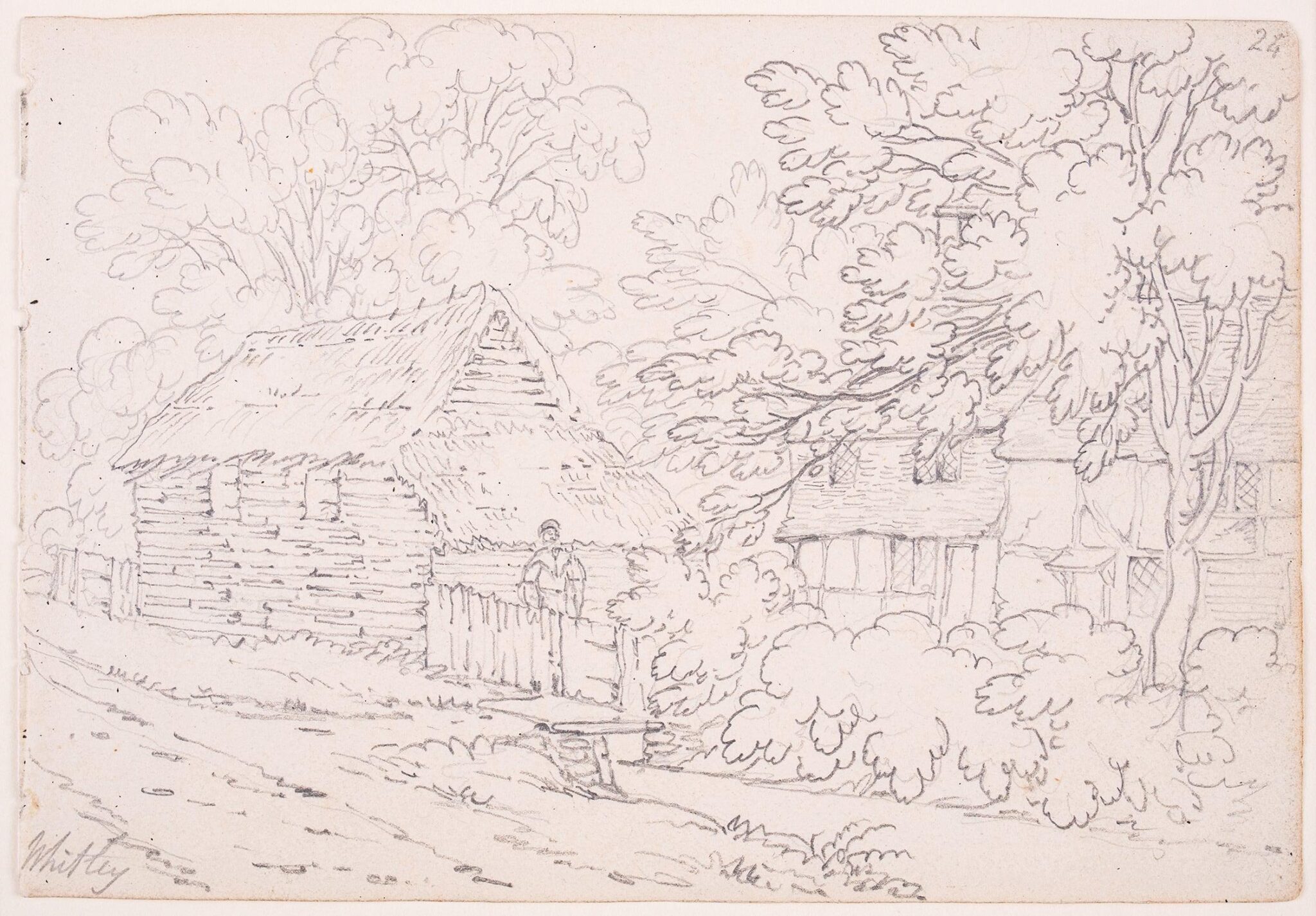
Witley is a village and civil parish in the Borough of Waverley in Surrey, England centred south west of the town of Godalming and southwest of Guildford. The land is a mixture of rural (ranging from woodland protected by the Surrey Hills AONB including a small part of the forested Greensand Ridge to cultivated fields) contrasting with elements more closely resembling a suburban satellite village. As a civil parish it is unusual in that it includes the small town of Milford in the north. Occupying its hills in the south-west are Sandhills and Brook. Witley Common is a wide expanse of land, owned by the National Trust, crossed by the A3 road. The village is served by two stations on the Portsmouth Direct Line: Witley station, to the south in nearby Wormley, and, to the north, Milford station, which is more or less equidistant between Milford and Witley. Its church dates to the pre-Norman Conquest period of the Kingdom of England. The village has the private sector, bu ... [...More Info...] [...Related Items...] OR: [Wikipedia] [Google] [Baidu] |
Hills Of Surrey
A hill is a landform that extends above the surrounding terrain. It often has a distinct summit. Terminology The distinction between a hill and a mountain is unclear and largely subjective, but a hill is universally considered to be not as tall, or as steep as a mountain. Geographers historically regarded mountains as hills greater than above sea level, which formed the basis of the plot of the 1995 film ''The Englishman who Went up a Hill but Came down a Mountain''. In contrast, hillwalkers have tended to regard mountains as peaks above sea level. The ''Oxford English Dictionary'' also suggests a limit of and Whittow states "Some authorities regard eminences above as mountains, those below being referred to as hills." Today, a mountain is usually defined in the UK and Ireland as any summit at least high, while the official UK government's definition of a mountain is a summit of or higher. Some definitions include a topographical prominence requirement, typically o ... [...More Info...] [...Related Items...] OR: [Wikipedia] [Google] [Baidu] |


.jpg)


