|
Penpol Creek (River Fowey)
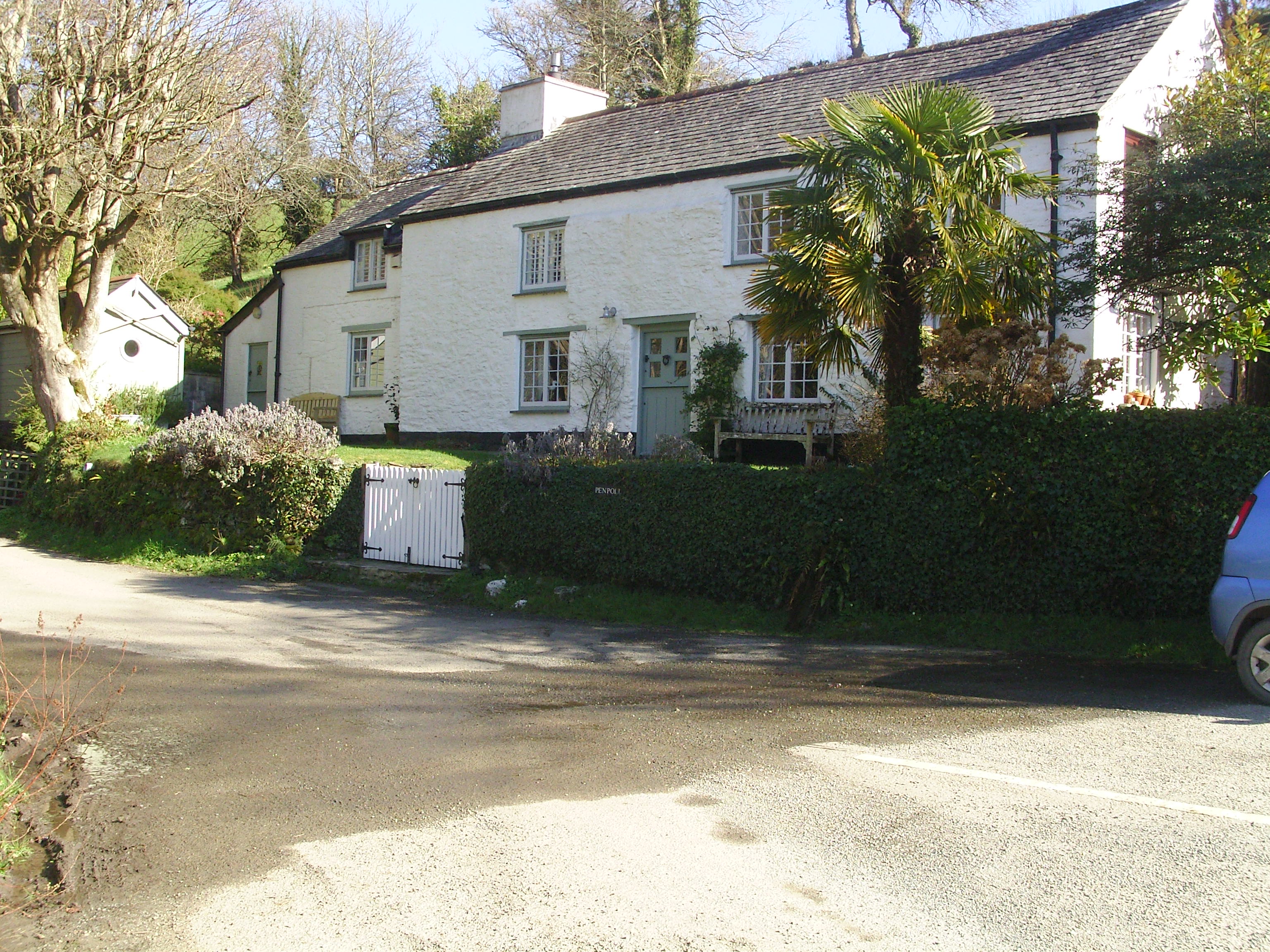
Penpol Creek is a tidal creek which is a tributary of the River Fowey in Cornwall, England, UK. It lies between the parishes of St Veep and Lanteglos-by-Fowey Lanteglos (Old kw, Nant Eglos, meaning ''church valley'') is a coastal civil parish in south Cornwall, England, United Kingdom. It is on the east side of the tidal estuary of the River Fowey which separates it from the town and civil parish of .... The tidal limit is at the bridge at lower Penpol.Ordnance Survey: Landranger map sheet 200 ''Newquay & Bodmin'' Penpol Mill is mentioned in 1591 and it was rebuilt in 1794, today it is abandoned. The bridge was built in 1867, replacing a tidal ford. Above the bridge the river becomes ''Trebant Water''. References Rivers of Cornwall {{England-river-stub ... [...More Info...] [...Related Items...] OR: [Wikipedia] [Google] [Baidu] |
River Fowey
The River Fowey ( ; kw, Fowi) is a river in Cornwall, England, United Kingdom. It rises at Fowey Well (originally kw, Fenten Fowi, meaning ''spring of the river Fowey'') about north-west of Brown Willy on Bodmin Moor, not far from one of its tributaries rising at Dozmary Pool and Colliford Lake, passes Lanhydrock House, Restormel Castle and Lostwithiel, then broadens below Milltown before joining the English Channel at Fowey. The estuary is called Uzell ( kw, Usel, meaning ''howling place''). It is only navigable by larger craft for the last . There is a ferry between Fowey and Bodinnick. The first road crossing going upstream is in Lostwithiel. The river has seven tributaries, the largest being the River Lerryn. The section of the Fowey Valley between Doublebois and Bodmin Parkway railway station is known as the Glynn Valley ( kw, Glyn, meaning ''deep wooded valley''). The valley is the route of both the A38 trunk road and the railway line (built by the Cornwall Railw ... [...More Info...] [...Related Items...] OR: [Wikipedia] [Google] [Baidu] |
England
England is a country that is part of the United Kingdom. It shares land borders with Wales to its west and Scotland to its north. The Irish Sea lies northwest and the Celtic Sea to the southwest. It is separated from continental Europe by the North Sea to the east and the English Channel to the south. The country covers five-eighths of the island of Great Britain, which lies in the North Atlantic, and includes over 100 smaller islands, such as the Isles of Scilly and the Isle of Wight. The area now called England was first inhabited by modern humans during the Upper Paleolithic period, but takes its name from the Angles, a Germanic tribe deriving its name from the Anglia peninsula, who settled during the 5th and 6th centuries. England became a unified state in the 10th century and has had a significant cultural and legal impact on the wider world since the Age of Discovery, which began during the 15th century. The English language, the Anglican Church, and Engli ... [...More Info...] [...Related Items...] OR: [Wikipedia] [Google] [Baidu] |
Cornwall
Cornwall (; kw, Kernow ) is a historic county and ceremonial county in South West England. It is recognised as one of the Celtic nations, and is the homeland of the Cornish people. Cornwall is bordered to the north and west by the Atlantic Ocean, to the south by the English Channel, and to the east by the county of Devon, with the River Tamar forming the border between them. Cornwall forms the westernmost part of the South West Peninsula of the island of Great Britain. The southwesternmost point is Land's End and the southernmost Lizard Point. Cornwall has a population of and an area of . The county has been administered since 2009 by the unitary authority, Cornwall Council. The ceremonial county of Cornwall also includes the Isles of Scilly, which are administered separately. The administrative centre of Cornwall is Truro, its only city. Cornwall was formerly a Brythonic kingdom and subsequently a royal duchy. It is the cultural and ethnic origin of the Cornish dias ... [...More Info...] [...Related Items...] OR: [Wikipedia] [Google] [Baidu] |
United Kingdom
The United Kingdom of Great Britain and Northern Ireland, commonly known as the United Kingdom (UK) or Britain, is a country in Europe, off the north-western coast of the continental mainland. It comprises England, Scotland, Wales and Northern Ireland. The United Kingdom includes the island of Great Britain, the north-eastern part of the island of Ireland, and many smaller islands within the British Isles. Northern Ireland shares a land border with the Republic of Ireland; otherwise, the United Kingdom is surrounded by the Atlantic Ocean, the North Sea, the English Channel, the Celtic Sea and the Irish Sea. The total area of the United Kingdom is , with an estimated 2020 population of more than 67 million people. The United Kingdom has evolved from a series of annexations, unions and separations of constituent countries over several hundred years. The Treaty of Union between the Kingdom of England (which included Wales, annexed in 1542) and the Kingdom of Scotland in 170 ... [...More Info...] [...Related Items...] OR: [Wikipedia] [Google] [Baidu] |
St Veep
St Veep ( kw, Sen Vip) is a civil parish in Cornwall, England, United Kingdom, situated above the east bank of the River Fowey about three miles (5 km) south-east of Lostwithiel. It is bordered by the parishes of St Winnow to the north-west, Boconnoc to the north, Lanreath to the east Polperro to the south-east and Lanteglos to the south. The River Fowey forms its western boundary. The parish is named after Saint Veep of whom little is known (not even whether the saint was male or female). Part of the village of Lerryn is in St Veep parish. The hamlets of Cliff (), Higher Penpol (), Middle Penpol and Lower Penpol () are all within the parish. History The parish church was originally dedicated to Saint Veep, but when it was rebuilt in 1336 it was rededicated to Saint Quiricus and Saint Julietta. Following the Prayer Book Rebellion of 1549, a number of well-known Cornish figures and priests were murdered or hanged in Cornwall. These included Richard Bennet, vicar of St ... [...More Info...] [...Related Items...] OR: [Wikipedia] [Google] [Baidu] |
Lanteglos-by-Fowey
Lanteglos (Old kw, Nant Eglos, meaning ''church valley'') is a coastal civil parish in south Cornwall, England, United Kingdom. It is on the east side of the tidal estuary of the River Fowey which separates it from the town and civil parish of Fowey. The South West Coast Path runs along the southern coasts of the parish and much of the southern part of the parish lies in the Polruan to Polperro Site of Special Scientific Interest managed by the National Trust. Geography To the north, Lanteglos-by-Fowey is bounded by the parish of St Veep, to the east by the parish of Polperro, and to the south by the sea. The parish is in the Liskeard Registration District and the population in the 2001 and 2011 census was 994. Penpol Creek forms part of the northern boundary. The parish church of Saint Wyllow is at Churchtown hamlet () just over a mile (2 km) to the south. St Saviour church (a chapel-of-ease of the parish church) is in Polruan, the largest settlement in the parish. The ... [...More Info...] [...Related Items...] OR: [Wikipedia] [Google] [Baidu] |


