|
Ondjiva Pereira Airport
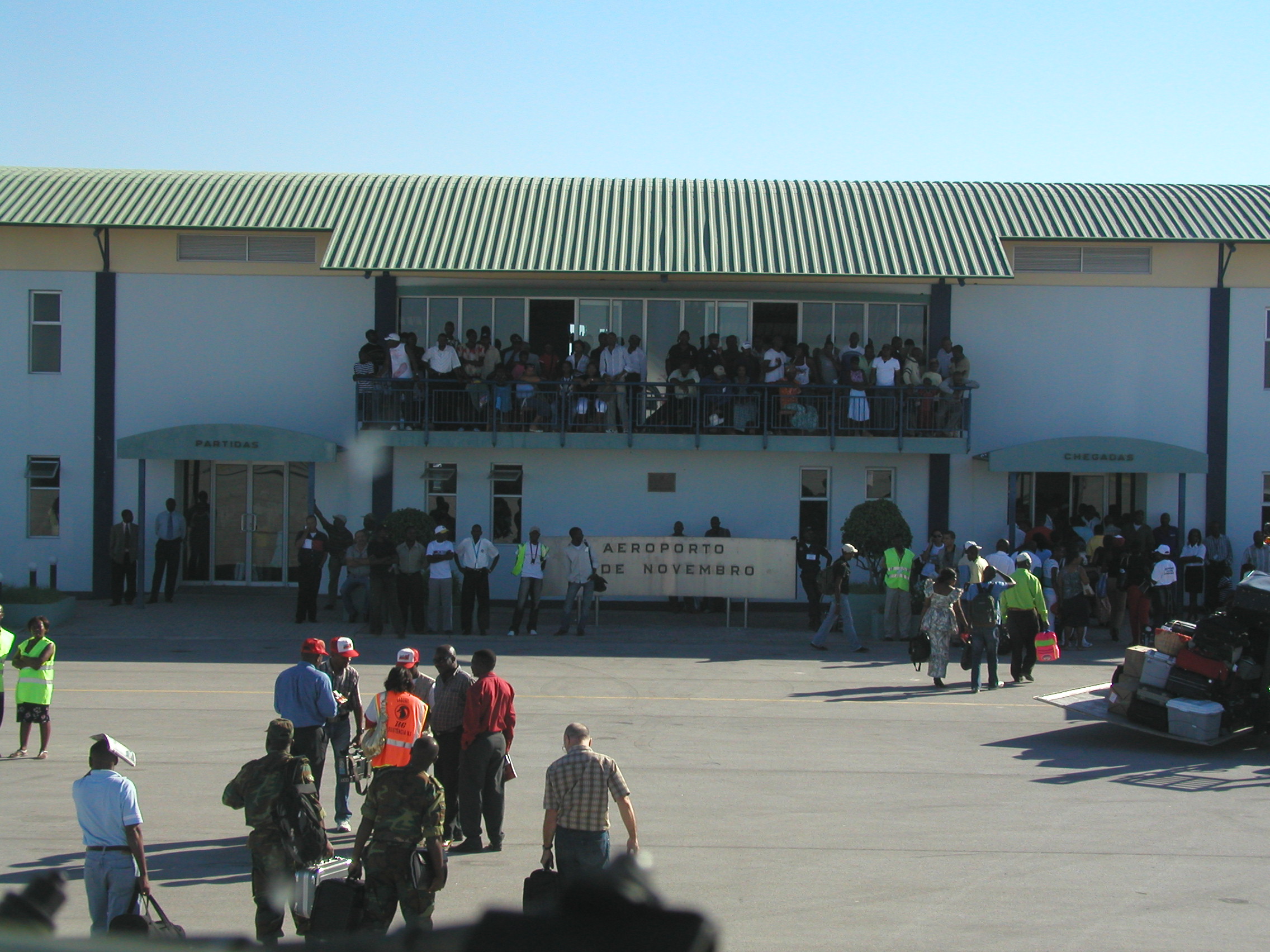
Ondjiva Pereira Airport is an airport serving Ondjiva (alternate spellings: Ongiva, Ngiva, N'giva) in Cunene Province, Angola. The airport is north of the Namibian border. The N'giva non-directional beacon (Ident: GI) is located on the field. Airlines and destinations See also * List of airports in Angola * Transport in Angola References External links * * OurAirports - Ngiva * Ondjiva
Ondjiva, formerly Vila Pereira d'Eça, is a town, with a population of 121,537 (2014), and a commune in the municipality of Cuanhama, province of Cunene, Angola. It is also the administrative capital of Cunene Province and is located at the ext ...
[...More Info...] [...Related Items...] OR: [Wikipedia] [Google] [Baidu] |
Ondjiva
Ondjiva, formerly Vila Pereira d'Eça, is a town, with a population of 121,537 (2014), and a commune in the municipality of Cuanhama, province of Cunene, Angola. It is also the administrative capital of Cunene Province and is located at the extreme south of the country. The city is located from the border with Namibia. It was traditionally the seat of the Ovambo king of the Oukwanyama tribe. Ondjiva was greatly affected by the Angolan Civil War (1975-2002). History Mission station The Ondjiva mission station was established first in 1891 by Friedrich Meisenholl and August Wulfhorst of the Rhenish Mission Society, and with the help of Friedrich Bernsmann and with the permission of King Weyulu Hedimbi. They thought that Ondjiva would have been in the territory of German South West Africa, which later turned out not to be the case. The following year they established the mission station of Omupanda. Meisenholl stayed in Ondjiva for some four years, before he had to leave du ... [...More Info...] [...Related Items...] OR: [Wikipedia] [Google] [Baidu] |
DAFIF
DAFIF () or the ''Digital Aeronautical Flight Information File'' is a comprehensive database of up-to-date aeronautical data, including information on airports, airways, airspaces, navigation data, and other facts relevant to flying in the entire world, managed by the National Geospatial-Intelligence Agency (NGA) of the United States. Withdrawal of public access DAFIF was publicly available until October 2006 through the Internet; however, it was closed to public access because "increased numbers of foreign source providers are claiming intellectual property rights or are forewarning NGA that they intend to copyright their source". Currently, only federal and state government agencies, authorized government contractors, and Department of Defense customers are able to access the DAFIF data. At the time of the announcement, the NGA did not say who the "foreign source providers" were. It was subsequently revealed that the Australian Government was behind the move. The Australian ... [...More Info...] [...Related Items...] OR: [Wikipedia] [Google] [Baidu] |
Angola
, national_anthem = " Angola Avante"() , image_map = , map_caption = , capital = Luanda , religion = , religion_year = 2020 , religion_ref = , coordinates = , largest_city = capital , official_languages = Portuguese , languages2_type = National languages , languages2 = , ethnic_groups = , ethnic_groups_ref = , ethnic_groups_year = 2000 , demonym = , government_type = Unitary dominant-party presidential republic , leader_title1 = President , leader_name1 = João Lourenço , leader_title2 = Vice President , leader_name2 = Esperança da CostaInvestidura do Pr ... [...More Info...] [...Related Items...] OR: [Wikipedia] [Google] [Baidu] |
Namibia
Namibia (, ), officially the Republic of Namibia, is a country in Southern Africa. Its western border is the Atlantic Ocean. It shares land borders with Zambia and Angola to the north, Botswana to the east and South Africa to the south and east. Although Kazungula, it does not border Zimbabwe, less than 200 metres (660 feet) of the Botswanan right bank of the Zambezi, Zambezi River separates the two countries. Namibia gained independence from South Africa on 21 March 1990, following the Namibian War of Independence. Its capital and largest city is Windhoek. Namibia is a member state of the United Nations (UN), the Southern African Development Community (SADC), the African Union (AU) and the Commonwealth of Nations. The driest country in sub-Saharan Africa, Namibia has been inhabited since pre-historic times by the San people, San, Damara people, Damara and Nama people. Around the 14th century, immigration, immigrating Bantu peoples arrived as part of the Bantu expansion. Since ... [...More Info...] [...Related Items...] OR: [Wikipedia] [Google] [Baidu] |
Non-directional Beacon
A non-directional beacon (NDB) or non-directional radio beacon is a radio beacon which does not include directional information. Radio beacons are radio transmitters at a known location, used as an aviation or marine navigational aid. NDB are in contrast to directional radio beacons and other navigational aids, such as low-frequency radio range, VHF omnidirectional range (VOR) and tactical air navigation system (TACAN). NDB signals follow the curvature of the Earth, so they can be received at much greater distances at lower altitudes, a major advantage over VOR. However, NDB signals are also affected more by atmospheric conditions, mountainous terrain, coastal refraction and electrical storms, particularly at long range. The system, developed by United States Air Force (USAF) Captain Albert Francis Hegenberger, was used to fly the world's first instrument approach on May 9, 1932. Types of NDBs NDBs used for aviation are standardised by International Civil Aviation Organizat ... [...More Info...] [...Related Items...] OR: [Wikipedia] [Google] [Baidu] |
TAAG Angola Airlines
TAAG Angola Airlines E.P. ( pt, TAAG Linhas Aéreas de Angola E.P.) is a state-owned airline and flag carrier of Angola. Based in Luanda, the airline operates domestic services within Angola, medium-haul services in Africa and long-haul services to Brazil, Cuba, and Portugal. The airline was originally set up by the government as ''DTADivisão dos Transportes Aéreos'' in 1938, rechristened ''TAAG Angola Airlines'' in 1973, and gained flag carrier status in 1975. It is now a member of both the International Air Transport Association and the African Airlines Association. History DTA''Divisão dos Transportes Aéreos'' (1938–1973) The origins of the carrier can be traced back to 1937, when the president of Portugal Óscar Carmona asked Joaquim de Almedia Baltazar to create an airline in Angola. In September 1938, ''DTADivisão dos Transportes Aéreos'' was formed as a division of the Administration of Railways, Harbours, and Air Transport of Portuguese West Africa. It was ow ... [...More Info...] [...Related Items...] OR: [Wikipedia] [Google] [Baidu] |
Catumbela Airport
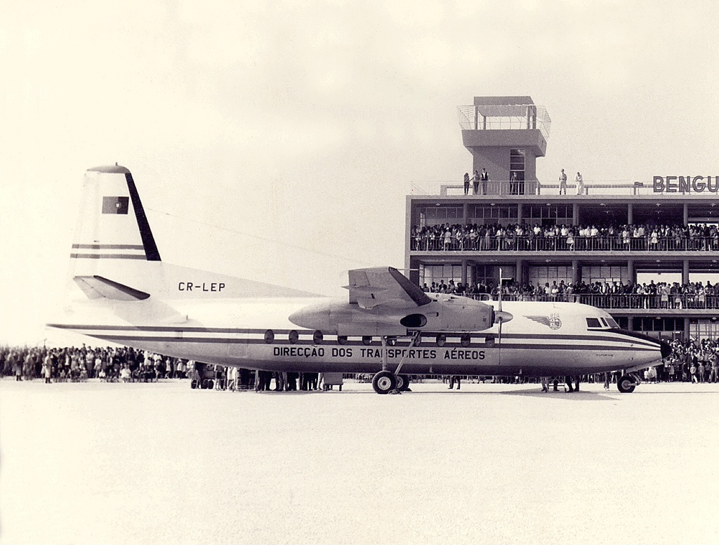
Catumbela Airport is an airport in Catumbela, a coastal city in the Benguela Province of Angola. History After having been expanded and restored, the airport opened in 2012 and due to its capacity and size, would indicate annual passenger movement of around 2.2 million. Cutumbela Airport will form an alternative to the airport in Luanda. The national certification process for Benguela Province's Catumbela airport is expected to be completed in February 2019, providing that the security standards complies with the 'Empresa Nacional de Navegação Aérea' regarding the infrastructure. Facilities The airport boasts two boarding bridges and a 3,700-metre runway, 18 migration service-counters and 16 check-in counters. It also provides executive and first class facilities complete with restaurants and bars.18 for migration service Airlines and destinations See also * List of airports in Angola * Transport in Angola Transport in Angola comprises: Roads Walking home.jpg, Wa ... [...More Info...] [...Related Items...] OR: [Wikipedia] [Google] [Baidu] |
Albano Machado Airport
The Albano Machado Airport is a public airport southeast of Huambo, the capital of Huambo Province, Angola. It was formerly named Nova Lisboa Airport, after the former name of the city. Airlines and destinations During July and August 1975, the airport operated as a bridge between Angola and Lisbon while the Angolan Civil War raged around the city. Several airlines operated special flights into the city: Swissair (Douglas DC-10), Transinternational Airlines (Douglas DC-8), TAP Portugal (Boeing 707s, 747), Perfect Tours (Boeing 707), and Overseas National Airways (DC-8). Accidents and incidents *On 3 September 1970. Douglas DC-3 G-AVPW of Hunting Surveys was substantially damaged when it was subjected to ground fire on take-off. Hydraulic lines were damaged and the fuel tanks ruptured. A successful emergency landing was made at Luanda Airport. The aircraft was repaired and returned to service. *On 14 September 2011, 17 people, including 11 military personnel, died when an Ango ... [...More Info...] [...Related Items...] OR: [Wikipedia] [Google] [Baidu] |
Kuito Airport
Joaquim Kapango Airport ( pt, Aeroporto Joaquim Kapango) , or Cuíto Airport, is an airport serving Cuíto (known as Silva Porto before 1975), a city in the Bié Province in Angola. The Joaquim Kapango non-directional beacon (Ident: KU) is located on the field. Airlines and destinations See also * List of airports in Angola * Transport in Angola Transport in Angola comprises: Roads Walking home.jpg, Walking home on EN 105. Tired are they.jpg, Donkey-drawn carts. Transportation Jingu.jpg, Three-wheeled motorcycles. The riches transportation.jpg, Trucks. Midd Town Luanda.jpg, Automobil ... References External links * OpenStreetMap - Joaquim Kapango Airports in Angola [...More Info...] [...Related Items...] OR: [Wikipedia] [Google] [Baidu] |
Quatro De Fevereiro Airport
Quatro de Fevereiro International Airport ( pt, Aeroporto Internacional 4 de Fevereiro, sw, Uwanja wa Ndege wa Kimataifa wa Quatro de Fevereiro), is the main international airport of Angola. It is located in the southern part of the capital Luanda, situated in the Luanda Province. ''Quatro de Fevereiro'' means 4th of February, which is an important national holiday in Angola, marking the start of the armed struggle against the Portuguese colonial regime on 4 February 1961. In 2009, about 1.8 million passengers were counted. History The construction of the airport began in 1951, in order to serve the capital of the former-Portuguese Overseas Province of Angola. It was inaugurated in 1954, by the Portuguese President Craveiro Lopes, which in his honor, the airport was named ''Aeroporto Presidente Craveiro Lopes'' (President Craveiro Lopes Airport). In August, September, and October 1975 the airport hosted tens of thousands of mostly white Portuguese Angolans fleeing to Lisbon (d ... [...More Info...] [...Related Items...] OR: [Wikipedia] [Google] [Baidu] |
Lubango Airport
Lubango Mukanka Airport ( pt, Aeroporto de Lubango) is an airport serving Lubango, the capital city of the Huíla Province in Angola. The Lubango non-directional beacon (Ident: SB) is located east-northeast of the Rwy 28 threshold. Airlines and destinations Military use The airport houses four Sukhoi Su-30 fighter aircraft. Incidents and accidents * On 8 November 1983 a TAAG Angola Airlines Boeing 737 crashed shortly after takeoff. All 130 passengers and crew on board were killed. See also * List of airports in Angola * Transport in Angola Transport in Angola comprises: Roads Walking home.jpg, Walking home on EN 105. Tired are they.jpg, Donkey-drawn carts. Transportation Jingu.jpg, Three-wheeled motorcycles. The riches transportation.jpg, Trucks. Midd Town Luanda.jpg, Automobil ... References External linksOpenStreetMap - Lubango * * [...More Info...] [...Related Items...] OR: [Wikipedia] [Google] [Baidu] |


