|
North 1 West
North 1 West is a rugby union league at the sixth level within the English league system. The league is made up of teams from north west England and the Isle of Man; principally consisting of the English counties of Cheshire, Cumbria, Greater Manchester, Lancashire and Merseyside. The league was known as North Division 2 when it was first created back in 1987 and was a single division. It has since split into two regional leagues, with North West 1 and its compatriot North 1 East being the longest running versions of the division. Promotion and relegation determine the makeup of the league each season, with the top team automatically moving into North Premier and the second-placed team entering into a play-off match with the second-placed team in North 1 East. Occasionally, depending on promotion and relegation, teams from either North 1 East and North 1 West may be required to compete in the opposite league to ensure that the number of teams in the east and west leagues rema ... [...More Info...] [...Related Items...] OR: [Wikipedia] [Google] [Baidu] |
Rugby Union
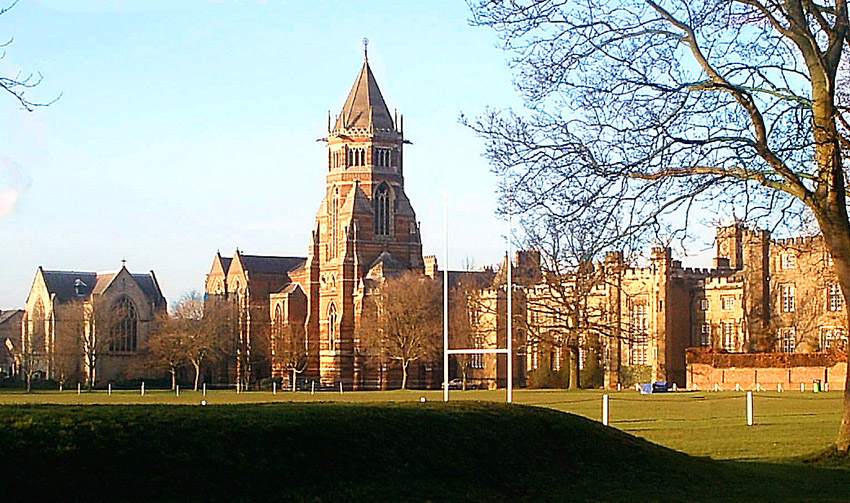
Rugby union, commonly known simply as rugby, is a close-contact team sport that originated at Rugby School in the first half of the 19th century. One of the two codes of rugby football, it is based on running with the ball in hand. In its most common form, a game is played between two teams of 15 players each, using an oval-shaped ball on a rectangular field called a pitch. The field has H-shaped goalposts at both ends. Rugby union is a popular sport around the world, played by people of all genders, ages and sizes. In 2014, there were more than 6 million people playing worldwide, of whom 2.36 million were registered players. World Rugby, previously called the International Rugby Football Board (IRFB) and the International Rugby Board (IRB), has been the governing body for rugby union since 1886, and currently has 101 countries as full members and 18 associate members. In 1845, the first laws were written by students attending Rugby School; other significant even ... [...More Info...] [...Related Items...] OR: [Wikipedia] [Google] [Baidu] |
Timperley
Timperley is a suburban village in the borough of Trafford, Greater Manchester, England. Historically in Cheshire, it is approximately six miles southwest of central Manchester. The population at the 2011 census was 11,061. History The name Timperley derives from ''Timber Leah'', the Anglo-Saxon (Old English) for a "clearing in the forest". This can be used to roughly date the settlement of Timperley to between the 7th and 8th centuries. Timperley was a predominantly agricultural settlement before the Industrial Revolution, focusing mainly on arable crops. The Bridgewater Canal branch from Stretford to Runcorn was built through Timperley and opened in 1776. This improvement in transport encouraged the development of market gardening in the area to serve the growing city of Manchester. The city also provided a source of night soil which was unloaded from the canal by Deansgate Lane to provide manure for farms and market gardens. Railways During the mid-19th century four rail ... [...More Info...] [...Related Items...] OR: [Wikipedia] [Google] [Baidu] |
Derbyshire
Derbyshire ( ) is a ceremonial county in the East Midlands, England. It includes much of the Peak District National Park, the southern end of the Pennine range of hills and part of the National Forest. It borders Greater Manchester to the north-west, West Yorkshire to the north, South Yorkshire to the north-east, Nottinghamshire to the east, Leicestershire to the south-east, Staffordshire to the west and south-west and Cheshire to the west. Kinder Scout, at , is the highest point and Trent Meadows, where the River Trent leaves Derbyshire, the lowest at . The north–south River Derwent is the longest river at . In 2003, the Ordnance Survey named Church Flatts Farm at Coton in the Elms, near Swadlincote, as Britain's furthest point from the sea. Derby is a unitary authority area, but remains part of the ceremonial county. The county was a lot larger than its present coverage, it once extended to the boundaries of the City of Sheffield district in South Yorkshire where it cov ... [...More Info...] [...Related Items...] OR: [Wikipedia] [Google] [Baidu] |
Glossop
Glossop is a market town in the Borough of High Peak, Derbyshire, England. It is located east of Manchester, north-west of Sheffield and north of the county town, Matlock. Glossop lies near Derbyshire's borders with Cheshire, Greater Manchester, South Yorkshire and West Yorkshire. It is between above sea level and is bounded by the Peak District National Park to the south, east and north. Historically, the name ''Glossop'' refers to the small hamlet that gave its name to an ancient parish recorded in the Domesday Book of 1086 and then the manor given by William I of England to William Peverel. A municipal borough was created in 1866, which encompassed less than half of the manor's territory.The Ancient Parish of Glossop Retrieved 18 June 2008 The area now known as Glossop approximates to the villages that us ... [...More Info...] [...Related Items...] OR: [Wikipedia] [Google] [Baidu] |
Charlesworth, Derbyshire
Charlesworth is a village and civil parish near Glossop, Derbyshire, England. The population of the civil parish at the 2011 Census was 2,449. It is south-west of Glossop town centre and close to the borders of Greater Manchester with the nearby village of Broadbottom in Tameside. The parish church of St John the Baptist was built in 1848–49. The Congregational Chapel was rebuilt from an earlier chapel in 1797. The Baptist Chapel was built in 1835. Broadbottom Bridge, one end of which is in Cheshire, was built in 1683. Charlesworth holds an annual carnival on the second Saturday in July on its recreation ground on Marple Road, which includes fell races and other events. The village is at the foot of the "Monks' Road", which was used by the monks of Basingwerk Abbey in North Wales North Wales ( cy, Gogledd Cymru) is a region of Wales, encompassing its northernmost areas. It borders Mid Wales to the south, England to the east, and the Irish Sea to the north and west. The are ... [...More Info...] [...Related Items...] OR: [Wikipedia] [Google] [Baidu] |
Douglas, Isle Of Man
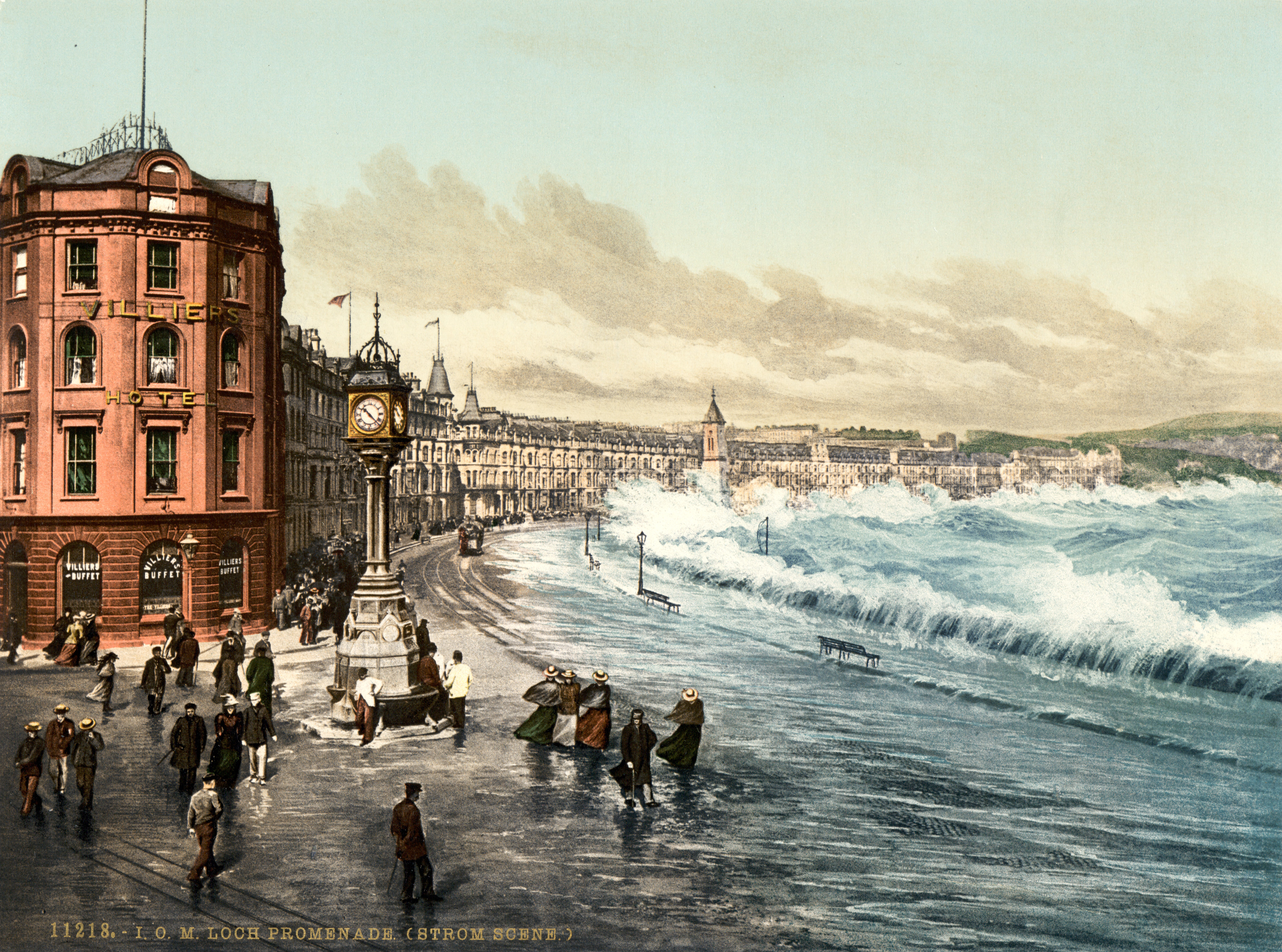
Douglas ( gv, Doolish, ) is the capital and largest town of the Isle of Man, with a population of 26,677 (2021). It is located at the mouth of the River Douglas, and on a sweeping bay of . The River Douglas forms part of the town's harbour and main commercial port. Douglas was a small settlement until it grew rapidly as a result of links with the English port of Liverpool in the 18th century. Further population growth came in the following century, resulting during the 1860s in a staged transfer of the High Courts, the Lieutenant Governor's residence, and finally the seat of the legislature, Tynwald, to Douglas from the ancient capital, Castletown. The town is the Island's main hub for business, finance, legal services, shipping, transport, shopping, and entertainment. The annual Isle of Man TT motorcycle races start and finish in Douglas. History Early history In the absence of any archaeological data, the origins of the town may be revealed by analysis of the origina ... [...More Info...] [...Related Items...] OR: [Wikipedia] [Google] [Baidu] |
Douglas R
Douglas may refer to: People * Douglas (given name) * Douglas (surname) Animals *Douglas (parrot), macaw that starred as the parrot ''Rosalinda'' in Pippi Longstocking *Douglas the camel, a camel in the Confederate Army in the American Civil War Businesses * Douglas Aircraft Company * Douglas (cosmetics), German cosmetics retail chain in Europe * Douglas (motorcycles), British motorcycle manufacturer Peerage and Baronetage * Duke of Douglas * Earl of Douglas, or any holder of the title * Marquess of Douglas, or any holder of the title * Douglas Baronets Peoples * Clan Douglas, a Scottish kindred * Dougla people, West Indians of both African and East Indian heritage Places Australia * Douglas, Queensland, a suburb of Townsville * Douglas, Queensland (Toowoomba Region), a locality * Port Douglas, North Queensland, Australia * Shire of Douglas, in northern Queensland Belize * Douglas, Belize Canada * Douglas, New Brunswick * Douglas Parish, New Brunswick * Douglas, Onta ... [...More Info...] [...Related Items...] OR: [Wikipedia] [Google] [Baidu] |
Carlisle, Cumbria
Carlisle ( , ; from xcb, Caer Luel) is a city that lies within the Northern English county of Cumbria, south of the Scottish border at the confluence of the rivers Eden, Caldew and Petteril. It is the administrative centre of the City of Carlisle district which, (along with Cumbria County Council) will be replaced by Cumberland Council in April 2023. The city became an established settlement during the Roman Empire to serve forts on Hadrian's Wall. During the Middle Ages, the city was an important military stronghold due to its proximity to the Kingdom of Scotland. Carlisle Castle, still relatively intact, was built in 1092 by William Rufus, served as a prison for Mary, Queen of Scots in 1568 and now houses the Duke of Lancaster's Regiment and the Border Regiment Museum. In the early 12th century, Henry I allowed a priory to be built. The priory gained cathedral status with a diocese in 1133, the city status rules at the time meant the settlement became a city. Fro ... [...More Info...] [...Related Items...] OR: [Wikipedia] [Google] [Baidu] |
Carlisle RFC
Carlisle Rugby Club is an English rugby union club based in Carlisle, Cumbria. The first XV team currently plays in North Premier, having reached the national levels of the sport for the first time in 2019. As well as a 1st XV, the club also operates men's 2nd XV (Crusaders) and 3rd XV (Hornets) sides and colts (under-19), a women's side (Cougars), and a number of junior sides for boys and girls aged 6 to 16. History Early years Carlisle were formed in 1873, with their first-ever game played at home against Scottish side Langholm. The club originally played in black jerseys, with a white Maltese cross added by 1879. In 1886, Carlisle claimed their first-ever silverware, winning the Cumberland Cup, a feat it repeated in 1908 and 1910. The club also regularly contributed players to the Cumberland county team, three of whom went on to play for England, including C.E.Chapman in 1884, and W.M.B.Nanson and J.R.Morgan in 1920. Having played home games at a number of locations i ... [...More Info...] [...Related Items...] OR: [Wikipedia] [Google] [Baidu] |
Manchester
Manchester () is a city in Greater Manchester, England. It had a population of 552,000 in 2021. It is bordered by the Cheshire Plain to the south, the Pennines to the north and east, and the neighbouring city of Salford to the west. The two cities and the surrounding towns form one of the United Kingdom's most populous conurbations, the Greater Manchester Built-up Area, which has a population of 2.87 million. The history of Manchester began with the civilian settlement associated with the Roman fort ('' castra'') of ''Mamucium'' or ''Mancunium'', established in about AD 79 on a sandstone bluff near the confluence of the rivers Medlock and Irwell. Historically part of Lancashire, areas of Cheshire south of the River Mersey were incorporated into Manchester in the 20th century, including Wythenshawe in 1931. Throughout the Middle Ages Manchester remained a manorial township, but began to expand "at an astonishing rate" around the turn of the 19th century. Manchest ... [...More Info...] [...Related Items...] OR: [Wikipedia] [Google] [Baidu] |
Chorlton-cum-Hardy
Chorlton-cum-Hardy is a suburban area of Manchester, England, southwest of the Manchester city centre, city centre. Chorlton (ward), Chorlton ward had a population of 14,138 at the United Kingdom Census 2011, 2011 census, and Chorlton Park (ward), Chorlton Park 15,147. By the 9th century, there was an Anglo-Saxon settlement here. In the Middle Ages, improved drainage methods led to population growth. In the late Victorian era, Victorian and Edwardian periods, its rural character made it popular among the middle class. The loss of its railway station, the conversion of larger houses into flats or bedsitters, and significant social housing development to the south of the area changed its character again in the 1970s. However, the existing Manchester Metrolink tram stop called Chorlton was built on the site of that former railway station and from Manchester, it is served by East Didsbury trams and Manchester Airport trams. Historically, Chorlton was a village on Lancashire's sou ... [...More Info...] [...Related Items...] OR: [Wikipedia] [Google] [Baidu] |
Broughton Park RUFC
Broughton Park RUFC, is one of the oldest rugby union clubs in England and was established in 1882, just one year after the Lancashire County Rugby Football Union was founded and eleven years after the formation of the national Rugby Football Union. The first XV plays in North 1 West, a sixth level league in the English league system following their promotion as champions of South Lancs/Cheshire 1 at the end of the 2017-18 season. History Broughton Park was established in 1882 and despite this early beginning was the third Broughton based rugby club, after Broughton RUFC (1862) and Broughton Rangers (1877). The club was overshadowed in terms of international representation by its two neighbours for the first decade of its existence. In 1919, just after the First World War, it started to make a mark on the national scene with A M Crook becoming both the Lancashire Union president and also being elected to the presidency of the Rugby Football Union. J E Kidd was elected Lancashir ... [...More Info...] [...Related Items...] OR: [Wikipedia] [Google] [Baidu] |


