|
Mardella
Mardella is an outer suburb of Perth, Western Australia, lying approximately south-southeast of the central business district. It is located within the Shire of Serpentine-Jarrahdale, and at the 2011 census had a population of 303 people. Although falling within the Perth metropolitan area, Mardella is mostly rural in nature, with a significant proportion of the population engaged in farming. History Mardella is named after the Mardella Farm, which was established in the first few decades of European settlement. The names of both Mardella and the nearby Medulla Brook are derived from the same Aboriginal root word. Mardella has been used as a locality name since at least 1898, when a railway siding on the South Western Railway was opened under that name. However, it was only formally gazetted as a suburb in 1997. A community organisation erected a district hall in the 1950s, and at one stage Mardella supported a general store. Geography The Serpentine River flows through Marde ... [...More Info...] [...Related Items...] OR: [Wikipedia] [Google] [Baidu] |
Serpentine, Western Australia
Serpentine is a town located south-southeast of Perth, the capital of Western Australia, and 7 km south of Mundijong. Serpentine is located on the South Western Railway between Perth and Bunbury, and was one of the original stations when the line was opened in 1893. The population of the town was 128 (80 males and 48 females) in 1898. At the 2016 census, Serpentine had a population of 1,265. In 1891 the government had opened up land in the area by declaring the Serpentine Agricultural Area, and in 1893 decided there was sufficient demand for town lots by gazetting the Townsite of Serpentine in December 1893. The townsite derives its name from the nearby Serpentine River. The name is descriptive, derived from the "serpentine" nature of the river in its lower reaches where it was discovered and named in the early 1830s. It is the locality to which the BOM weather radar has been shifted following on from the original Perth location in West Perth. The Bodhinyana Buddhist ... [...More Info...] [...Related Items...] OR: [Wikipedia] [Google] [Baidu] |
List Of Perth Suburbs
There are more than 350 suburbs in the Perth metropolitan region (colloquially known as Perth, the capital city of Western Australia) The name and boundary of a locality (commonly referred to as a suburb in the metropolitan region) is determined under the authority of the Minister of Lands in Western Australia, and form an official component of addresses. Some of the suburbs are contained within two or three local government areas – these have been marked and cross-referenced. See also * List of islands of Perth, Western Australia * 1955 Plan for the Metropolitan Region, Perth and Fremantle * Greater Perth * Metropolitan Region Scheme * Perth metropolitan region * Western Australian Planning Commission References External links * * Perth suburb names Landgate {{Suburb lists in Australia Perth Suburbs A suburb (more broadly suburban area) is an area within a metropolitan area, which may include commercial and mixed-use, that is primarily a resi ... [...More Info...] [...Related Items...] OR: [Wikipedia] [Google] [Baidu] |
Oldbury, Western Australia
Oldbury is a district to the south of Perth, Western Australia, within the Peel region. It has no central township, and lies west of the South Western Highway, close to Byford and Mundijong. Part of the Pinjarra Plain, the district is a productive environment featuring dairy and rural engagements, although consisting of sandy soils and largely felled. The area was part of the Group Settlement Scheme The Group Settlement Scheme was an assisted migration scheme which operated in Western Australia from the early 1920s. It was engineered by Premier James Mitchell and followed on from the Soldier Settlement Scheme immediately after World War ..., being established in 1922 as Group 35, along with the drainage scheme that contributed to the Peel Estuary environmental task and the consequent Dawesville Cut. Oldbury is part of a major realigning process in the Perth metro area, as divisions of regional land and urban districts develop, boundaries maintained since European sett ... [...More Info...] [...Related Items...] OR: [Wikipedia] [Google] [Baidu] |
Mundijong, Western Australia
Mundijong is an outer suburb of the Western Australian capital city of Perth Perth is the capital and largest city of the Australian state of Western Australia. It is the fourth most populous city in Australia and Oceania, with a population of 2.1 million (80% of the state) living in Greater Perth in 2020. Perth i .... Originally named Jarrahdale Junction, it was at the junction of the Rockingham- Jarrahdale line and the government railway line from Perth to Bunbury, which was built in 1893. At the 2016 census, Mundijong had a population of 1,232. A town grew up around the junction, and a timber depot, which included a large planing mill, was constructed. The town was first declared as "Manjedal" in 1893 as it was thought to be the Aboriginal name of the area. In 1897 this was found to be incorrect, and the name was changed to Mundijong. It was officially gazetted as a locality on 1 May 1997. References Towns in Western Australia Shire of Serpentine-Jar ... [...More Info...] [...Related Items...] OR: [Wikipedia] [Google] [Baidu] |
Baldivis, Western Australia
Baldivis is a semi-rural residential suburb south of Perth, and southeast of the regional centre of Rockingham. It is located within the City of Rockingham local government area. Housing estates in the suburb include Tuart Ridge, Settlers Hills, Settlers Townside, The Rivergums, Baldivis Central, Baldivis North, Baldivis Gardens, The Chimes, Brightwood, Evermore Heights, The Ridge, The Chase, Highbury Park, Heritage Park, The Dales, Avalon, Woodleigh Grove, Sherwood and Parkland Heights. History The name of Baldivis was thought up by settlers in the area who were attracted to the region by the 1920s Group Settlement Scheme. The name derives from three ships which travelled to Western Australia in 1922, all within six weeks of each other, bringing settlers under the scheme. They were named ''BALranald'', ''DIogenes'' and the ''JerVIS Bay''. It was the maiden voyage for all three ships and they were all built in the same shipyard in the same year. Land parallel to the easter ... [...More Info...] [...Related Items...] OR: [Wikipedia] [Google] [Baidu] |
Hopeland, Western Australia
Hopeland is an outer suburb of the Western Australian capital city of Perth, located in the Shire of Serpentine-Jarrahdale. In the , it had a population of 336 people. It was established in 1923 as Group 46 of the Group Settlement Scheme on Peel Estate The Peel Estate was an area of land in the south of Perth, Western Australia, predominantly in what is now the City of Kwinana, City of Rockingham and the Shire of Serpentine–Jarrahdale. The estate twice featured prominently in Western Australi ...; the name was in use for some time and it was established as a suburb name on 1 May 1997. References {{Shire of Serpentine-Jarrahdale suburbs Suburbs of Perth, Western Australia Shire of Serpentine-Jarrahdale ... [...More Info...] [...Related Items...] OR: [Wikipedia] [Google] [Baidu] |
South Western Highway
South Western Highway is a highway in the South West region of Western Australia connecting Perth's southeast with Walpole. It is a part of the Highway 1 network for most of its length. It is about long. Route description Perth to Bunbury From Perth, the highway, signed as State Route 20, starts from the Albany Highway junction in Armadale, 28 km from Perth, and follows a north–south route 20–30 km inland from the coast, passing through several agricultural and timber towns that sprang up in the 1890s when the nearby railway came through, such as Pinjarra, Waroona, Yarloop and Harvey. In January 2016, the Samson Brook bridge, one of the highway bridges near Waroona, was damaged by a bushfire. Just past Brunswick Junction, the highway heads southwest towards Western Australia's third-largest city, Bunbury. The typical scenery on this part of the highway includes small dairy farms and orchards, jarrah and marri remnant forests and pine plantations. Unti ... [...More Info...] [...Related Items...] OR: [Wikipedia] [Google] [Baidu] |
Shire Of Serpentine-Jarrahdale
The Shire of Serpentine-Jarrahdale is a local government area in the outer southeastern metropolitan area of Perth, the capital of Western Australia, and has an area of and a population of almost 27,000 as at the 2016 Census. The Shire's seat of government is the town of Mundijong. History The Serpentine-Jarrahdale Road District was established on 8 August 1913 with the amalgamation of the Serpentine Road District (1894) and Jarrahdale Road District (1902). On 1 July 1961, it became a Shire following the passage of the ''Local Government Act 1960'', which reformed all remaining road districts into shires. On 17 June 1977, it acquired Byford from Shire of Armadale–Kelmscott. Wards The Shire was previously split into four wards named: Byford, Central, North West and South. Recently, the boundaries were realigned and on 29 July 2011, the gazetted boundaries became: * North (4 councillors) * North West (2 councillors) * Southern (3 councillors) Elections to fill all posi ... [...More Info...] [...Related Items...] OR: [Wikipedia] [Google] [Baidu] |
South Western Railway, Western Australia
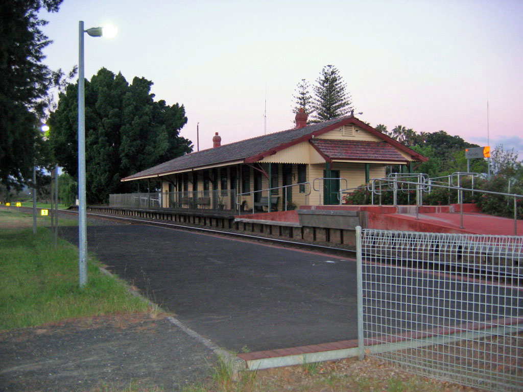
The South Western Railway, also known as the South West Main Line, is the main railway route between Perth and Bunbury in Western Australia. History Construction The South Western Railway was constructed for the Western Australian Government Railways (WAGR) by various private contractors from 1891. Among these was the engineer and magistrate William W. L. Owen. Construction was completed in two parts. The first, East Perth to Pinjarra, was undertaken by William Atkins (former mill manager of the Neil McNeil Co. at the Jarrahdale Timber Station) and Robert Oswald Law (who built the Fremantle Long Jetty) from the end of 1891. Work began in 1892 but was slowed by difficulties with building the bridge over the Swan River. This section opened on 22 May 1893. The second phase of construction was also completed by Atkins and McNeil, starting at Bunbury and working north to Pinjarra opening on 22 August 1893. Bunbury station was opened by Sir John Forrest on 14 November 1894. ... [...More Info...] [...Related Items...] OR: [Wikipedia] [Google] [Baidu] |
Tonkin Highway
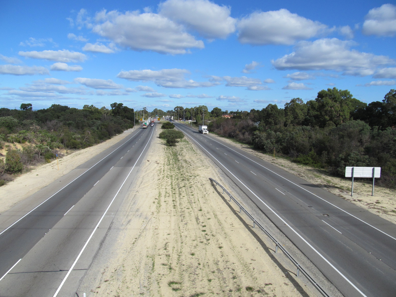
Tonkin Highway is an north–south highway and partial freeway in Perth, Western Australia, linking Perth Airport and Kewdale with the city's north-eastern and south-eastern suburbs. As of April 2020, the northern terminus is at the interchange with Brand Highway and Great Northern Highway in Muchea, and the southern terminus is at Thomas Road in Oakford. It forms the entire length of State Route 4, and connects to several major roads. Besides Brand Highway and Great Northern Highway, it also connects to Reid Highway, Great Eastern Highway, Leach Highway, Roe Highway, and Albany Highway. Planning for the route began in the 1950s, but the first segment between Wattle Grove and Cloverdale was not opened until 1980. Over the next five years, the highway was extended north to Great Eastern Highway and south to Albany Highway, and a discontinuous section was constructed north of the Swan River. In 1988 the Redcliffe Bridge linked these sections, and three years later, Reid H ... [...More Info...] [...Related Items...] OR: [Wikipedia] [Google] [Baidu] |
South West (Western Australia)
The South West region is one of the nine regions of Western Australia. It has an area of 23,970 km2, and a population of about 170,000 people. Bunbury is the main city in the region. Climate The South West has a Mediterranean climate, with dry summers and wet winters. There is about 900 mm of precipitation per year, with most between May and September. Bunburyonline. Mean maximum daily temperatures range from 16 °C in July to 34 °C in February. Economy The economy of the South West is very diverse. It is a major world producer of aluminium oxide and |
Bushland
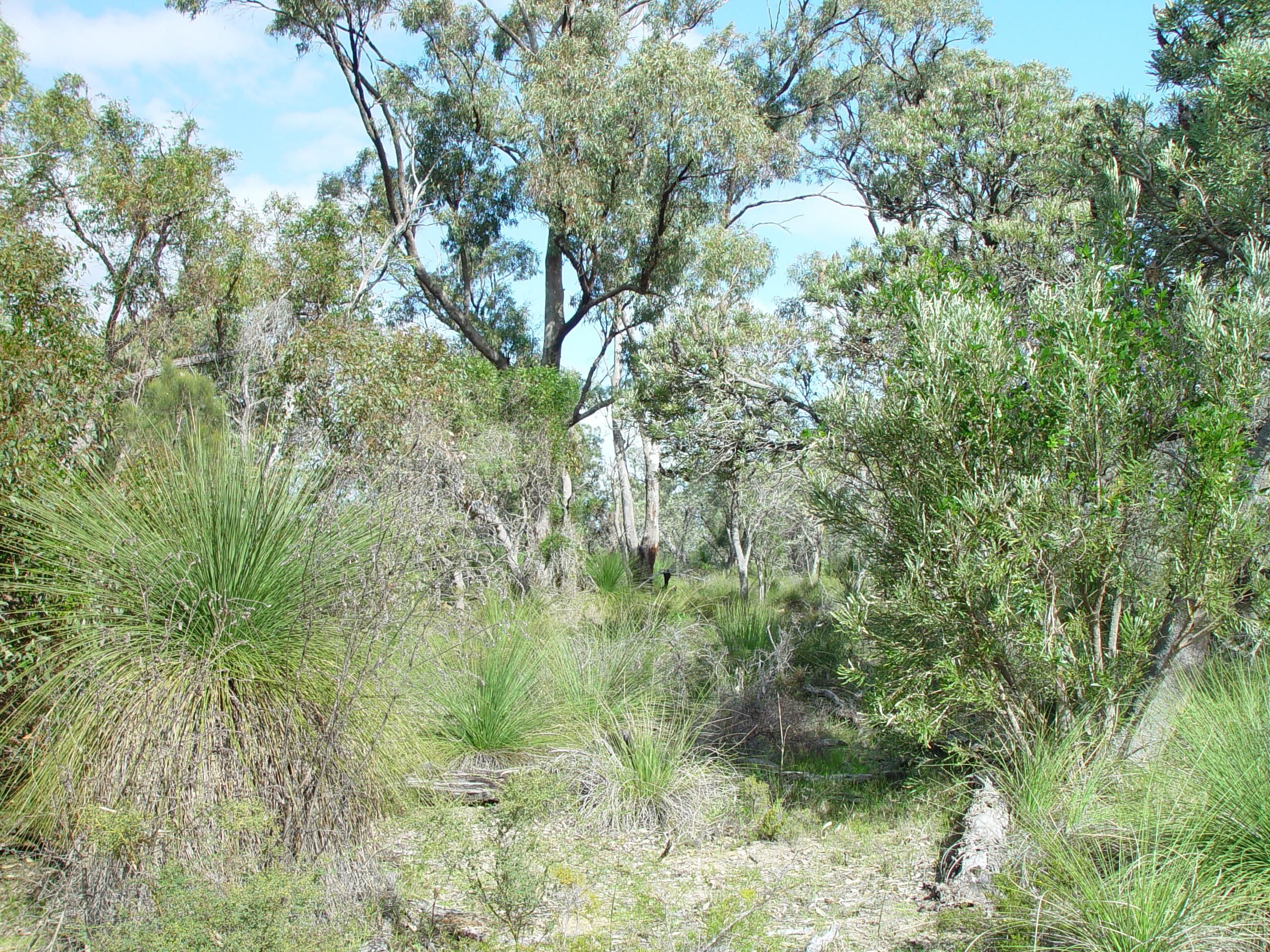
In Australia, bushland is a blanket term for land which supports remnant vegetation or land which is disturbed but still retains a predominance of the original floristics and structure. Human survival in bushland has a whole mythology evolving around it, with the stories of Aboriginal trackers and bushrangers deeply entrenched in Australian folklore. Bushland has been a traditional source of wood for fuel and bushfood. Bushland provides a number of ecosystem services including the protection of water quality, stopping erosion, acting as a windbreak, and trapping nutrients. Bushland is prone to bushfires. This presents a challenge to authorities as infrastructure and habitations encroach into bushland areas. Preservation Until recently Australia had a very high rate of land clearing, which resulted in the destruction of bushland. Since 2006 the rate of land clearing has declined significantly. This is partially attributed to legislation that placed a ban on broad scale cleari ... [...More Info...] [...Related Items...] OR: [Wikipedia] [Google] [Baidu] |


