|
Möhlin
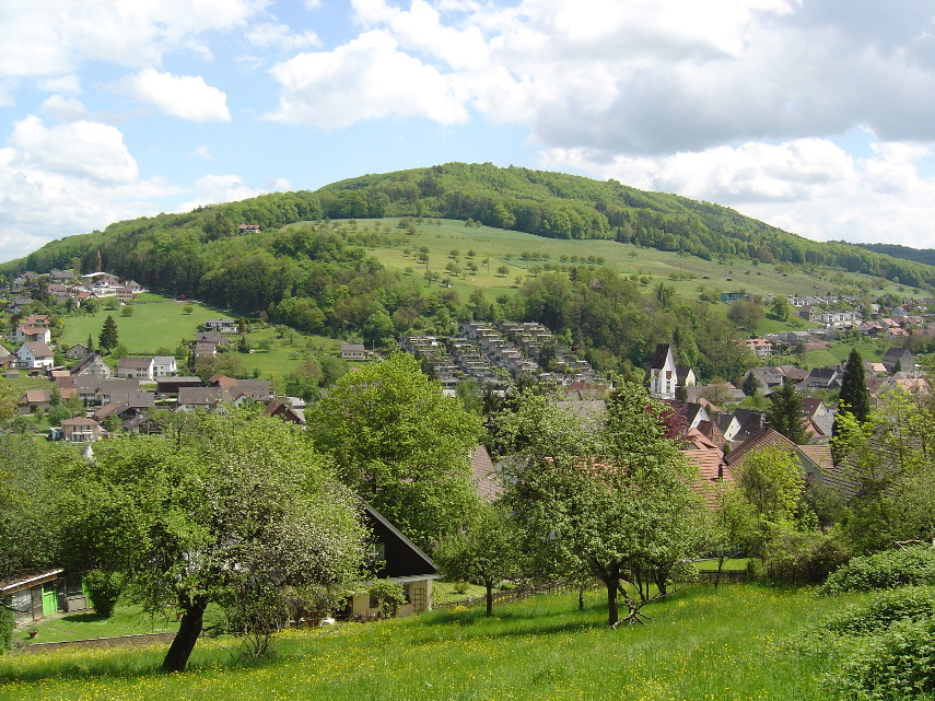
Möhlin () is a municipality in the district of Rheinfelden in the canton of Aargau in Switzerland. History The area around Möhlin was prehistorically settled. A neolithic settlement has been discovered at ''Chleizelgli'', while scattered Bronze Age items were discovered around the municipality. There was a Roman era estate as well as three watchtowers along the Rhine river. During the Early to High Middle Ages it was the site of fortified refuge. The modern village of Möhlin is first mentioned in 794 as ''Melina''. In the 13th Century a knight in the service of the House of Zähringen and a 15th Century Rheinfeld '' Schultheiss'' (mayor) both had the name von Meli, which is derived from Möhlin. The municipality of Möhlin came into being when eight hamlets merged over the course of the 15th Century. Jurors (a group of men of good character that were used to investigate crimes and/or judge the accused) from Möhlin are first mentioned in 1473. From 1135 until 1797 ... [...More Info...] [...Related Items...] OR: [Wikipedia] [Google] [Baidu] |
Rheinfelden (district)
Rheinfelden District lies in the northwest of the canton of Aargau in Switzerland, in the Fricktal region. Its capital is Rheinfelden. Around 88% of the population live in the conurbation of Basel. There are 14 municipalities, with a population of (as of ) living in an area of 112.09 km2. The population density is around 355 persons per square kilometre. Geography The Rheinfelden district has an area, , of . Of this area, or 44.0% is used for agricultural purposes, while or 39.7% is forested. Of the rest of the land, or 13.4% is settled (buildings or roads). Demographics Rheinfelden district has a population () of . , 21.3% of the population are foreign nationals.Statistical Department of Canton Aargau -Bereich 01 -Bevölkerung accessed 20 January 2010 Economy there we ...[...More Info...] [...Related Items...] OR: [Wikipedia] [Google] [Baidu] |
Rheinfelden, Switzerland
Rheinfelden ( gsw, Rhyfälde, ) is a municipality in the canton of Aargau in Switzerland, seat of the district of Rheinfelden. It is located 15 kilometres east of Basel. The name means the fields of the Rhine, as the town is located on the High Rhine. It is home to Feldschlösschen, the most popular beer in Switzerland. The city is across the river from Rheinfelden in Baden-Württemberg; the two cities were joined until Napoleon Bonaparte fixed the Germany–Switzerland border on the Rhine in 1802 and are still socially and economically tied. Geography The old town of Rheinfelden lies on the left bank of the Rhine, where the river is divided into two arms by the "Inseli", a roughly long island. Downstream of the Inseli and the ''Rheinbrücke'', the river bottoms drops to about deep, creating a huge and deadly vortex, known as the ''St-Anna-Loch. Nearly east is the '' Magdenerbach''. The wooded, gently-rising foothills of the '' Tafeljura'' lie south of the town. T ... [...More Info...] [...Related Items...] OR: [Wikipedia] [Google] [Baidu] |
Zeiningen
Zeiningen is a municipality in the district of Rheinfelden in the canton of Aargau in Switzerland. Geography Zeiningen has an area, , of . Of this area, or 43.9% is used for agricultural purposes, while or 44.2% is forested. Of the rest of the land, or 11.9% is settled (buildings or roads) and or 0.1% is unproductive land.Swiss Federal Statistical Office-Land Use Statistics 2009 data accessed 25 March 2010 Of the built up area, housing and buildings made up 4.1% and transportation infrastructure made up 5.5%. Power and water infrastructure as well as other special developed areas made up 1.4% of the area Out of the forested land, 42.5% of the total land area is heavily forested and 1.7% is covered with orchards or small clusters of trees. Of ... [...More Info...] [...Related Items...] OR: [Wikipedia] [Google] [Baidu] |
Maisprach
Maisprach is a municipality in the district of Sissach in the canton of Basel-Country in Switzerland. History Maisprach is first mentioned in 1247 as ''Mesbache''. Geography Maisprach has an area, , of . Of this area, or 50.1% is used for agricultural purposes, while or 38.9% is forested. Of the rest of the land, or 10.1% is settled (buildings or roads).Swiss Federal Statistical Office-Land Use Statistics 2009 data accessed 25 March 2010 Of the built up area, housing and buildings made up 6.1% and transportation infrastructure made up 3.4%. Out of the forested land, 37.7% of the total land area is heavily forested and 1.2% is covered with orchards or small clusters of trees. Of the agricultural land, 16.6% is used for growing crops and 20.9% i ... [...More Info...] [...Related Items...] OR: [Wikipedia] [Google] [Baidu] |
Magden
Magden (Swiss German: ''Magde'') is a municipality in the district of Rheinfelden in the canton of Aargau in Switzerland. It is located 3 km to the south of the Rheinfelden. Its Roman name was Magdinium, and it is the site of the ancient Magdalener spring which today serves as the water supply of the Feldschlösschen brewery in Rheinfelden, which was recently acquired by Carlsberg. History The first evidence of a human settlement is a paleolithic/neolithic village. A few, scattered Roman era items were discovered in Magden. Two empty Alamanni cist graves were also found near the village. The modern municipality of Magden is first mentioned in 804 as ''in curte Magaduninse''. The counts of Thierstein and then their successors the Habsburgs ruled over Magden until 1797. They owned the land and exercised the '' Zwing und Bann'' rights over the entire village. With the Act of Mediation in 1803, the entire ''Fricktal'', including Magden, joined the newly created Canton ... [...More Info...] [...Related Items...] OR: [Wikipedia] [Google] [Baidu] |
Wallbach, Switzerland
Wallbach is a municipality in the district of Rheinfelden in the canton of Aargau in Switzerland. Geography Wallbach has an area, , of . Of this area, or 43.2% is used for agricultural purposes, while or 29.3% is forested. Of the rest of the land, or 18.0% is settled (buildings or roads), or 8.9% is either rivers or lakes.Swiss Federal Statistical Office-Land Use Statistics 2009 data accessed 25 March 2010 Of the built up area, industrial buildings made up 1.8% of the total area while housing and buildings made up 11.1% and transportation infrastructure made up 3.8%. Out of the forested land, all of the forested land area is covered with heavy forests. Of the agricultural land, 33.7% is used for growing crops and 8.4% is pastures, while 1.1% is ... [...More Info...] [...Related Items...] OR: [Wikipedia] [Google] [Baidu] |
House Of Habsburg
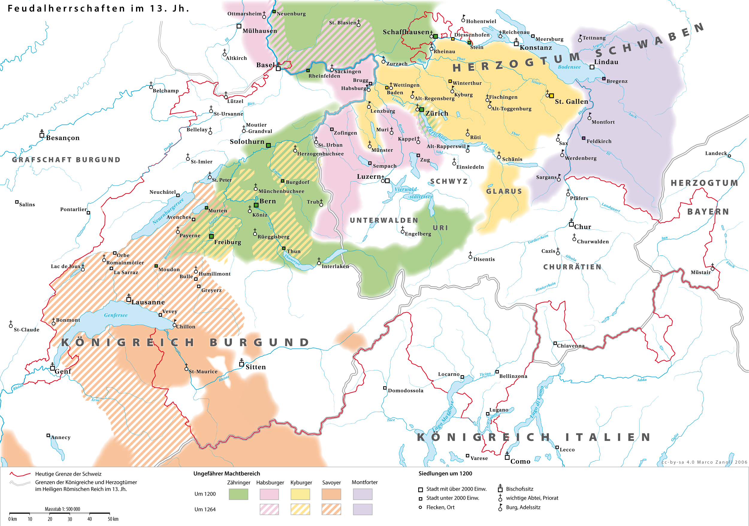
The House of Habsburg (), alternatively spelled Hapsburg in Englishgerman: Haus Habsburg, ; es, Casa de Habsburgo; hu, Habsburg család, it, Casa di Asburgo, nl, Huis van Habsburg, pl, dom Habsburgów, pt, Casa de Habsburgo, la, Domus Habsburg, french: Maison des Habsbourg and also known as the House of Austriagerman: link=no, Haus Österreich, ; es, link=no, Casa de Austria; nl, Huis van Oostenrijk, pl, dom Austrii, la, Domus Austriæ, french: Maison d'Autriche; hu, Ausztria Háza; it, Casa d'Austria; pt, Casa da Áustria is one of the most prominent and important dynasties in European history. The house takes its name from Habsburg Castle, a fortress built in the 1020s in present-day Switzerland by Radbot of Klettgau, who named his fortress Habsburg. His grandson Otto II was the first to take the fortress name as his own, adding "Count of Habsburg" to his title. In 1273, Count Radbot's seventh-generation descendant Rudolph of Habsburg was elected King of the ... [...More Info...] [...Related Items...] OR: [Wikipedia] [Google] [Baidu] |
Hamlet (place)
A hamlet is a human settlement that is smaller than a town or village. Its size relative to a Parish (administrative division), parish can depend on the administration and region. A hamlet may be considered to be a smaller settlement or subdivision or satellite entity to a larger settlement. The word and concept of a hamlet has roots in the Anglo-Norman settlement of England, where the old French ' came to apply to small human settlements. Etymology The word comes from Anglo-Norman language, Anglo-Norman ', corresponding to Old French ', the diminutive of Old French ' meaning a little village. This, in turn, is a diminutive of Old French ', possibly borrowed from (West Germanic languages, West Germanic) Franconian languages. Compare with modern French ', Dutch language, Dutch ', Frisian languages, Frisian ', German ', Old English ' and Modern English ''home''. By country Afghanistan In Afghanistan, the counterpart of the hamlet is the Qila, qala (Dari language, Dari: ... [...More Info...] [...Related Items...] OR: [Wikipedia] [Google] [Baidu] |
Juror
A jury is a sworn body of people (jurors) convened to hear evidence and render an impartiality, impartial verdict (a Question of fact, finding of fact on a question) officially submitted to them by a court, or to set a sentence (law), penalty or Judgment (law), judgment. Juries developed in England during the Middle Ages and are a hallmark of the English common law system. As such, they are used by the United Kingdom, the United States, Canada, Ireland, Australia, and other countries whose legal systems were derived from the British Empire. But most other countries use variations of the European Civil law (legal system), civil law or Islamic sharia, sharia law systems, in which juries are not generally used. Most trial juries are "petit juries", and usually consist of twelve people. Historically, a larger jury known as a grand jury was used to investigate potential crimes and render indictments against suspects. All common law countries except the United States and Liberia hav ... [...More Info...] [...Related Items...] OR: [Wikipedia] [Google] [Baidu] |
Fricktal
The Fricktal ("Frick Valley") is a region on Northwestern Switzerland, comprising the Laufenburg and Rheinfelden districts of the Swiss canton of Aargau. The region was known as ''Frickgau'' in the medieval period, ultimately from a Late Latin , in reference to the iron mine located here in the Roman era, also transferred to the village of Frick as the main settlement. Frickgau was part of Breisgau within Further Austria in the early modern period. It was joined to Switzerland only during the Napoleonic period. It now forms a northwestern extension to the canton of Aargau to the east of Basel, between the High Rhine forming the border with Germany in the north and the Jura Mountains in the south. History In the Early Middle Ages, Fricktal formed part of the Alemannic '' Augstgau'' between the Rhine and Aar rivers, from the 10th century onwards of the smaller ''Frickgau'' region within Upper Burgundy, owned by the Counts of Homberg-Thierstein in the 11th and 12th centuries. ... [...More Info...] [...Related Items...] OR: [Wikipedia] [Google] [Baidu] |
Historical Region
Historical regions (or historical areas) are geographical regions which at some point in time had a cultural, ethnic An ethnic group or an ethnicity is a grouping of people who identify with each other on the basis of shared attributes that distinguish them from other groups. Those attributes can include common sets of traditions, ancestry, language, history, ..., linguistics, linguistic or politics, political basis, regardless of latterday borders. They are used as delimitations for studying and analysing social development of List of time periods, period-specific cultures without any reference to contemporary political, economic or social organisations. The fundamental principle underlying this view is that older political and mental structures exist which exercise greater influence on the spatial-social identity of individuals than is understood by the contemporary world, bound to and often blinded by its own worldview - e.g. the focus on the nation-state. Definitions of ... [...More Info...] [...Related Items...] OR: [Wikipedia] [Google] [Baidu] |


