|
Mill River (Otter Creek Tributary)
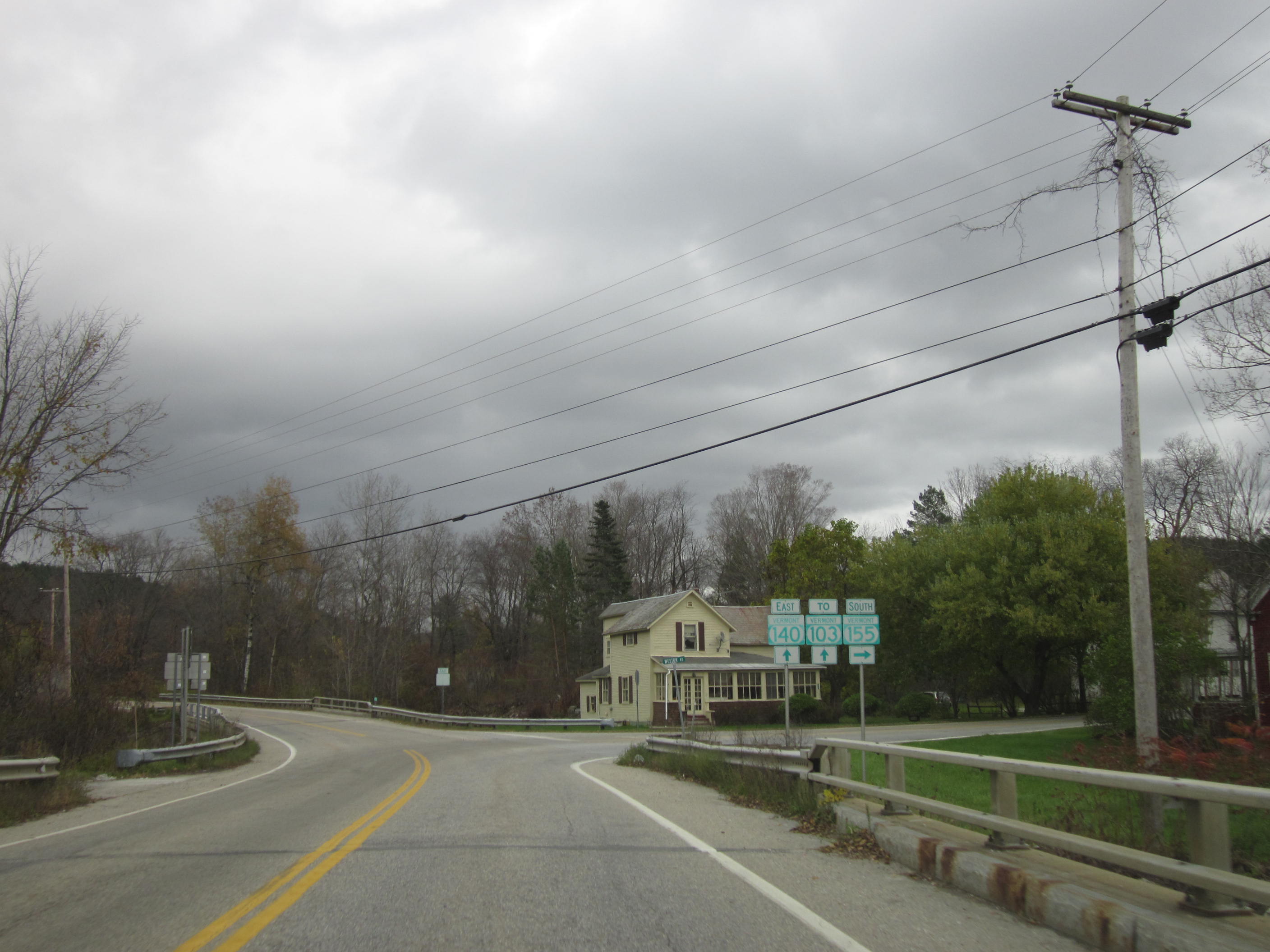
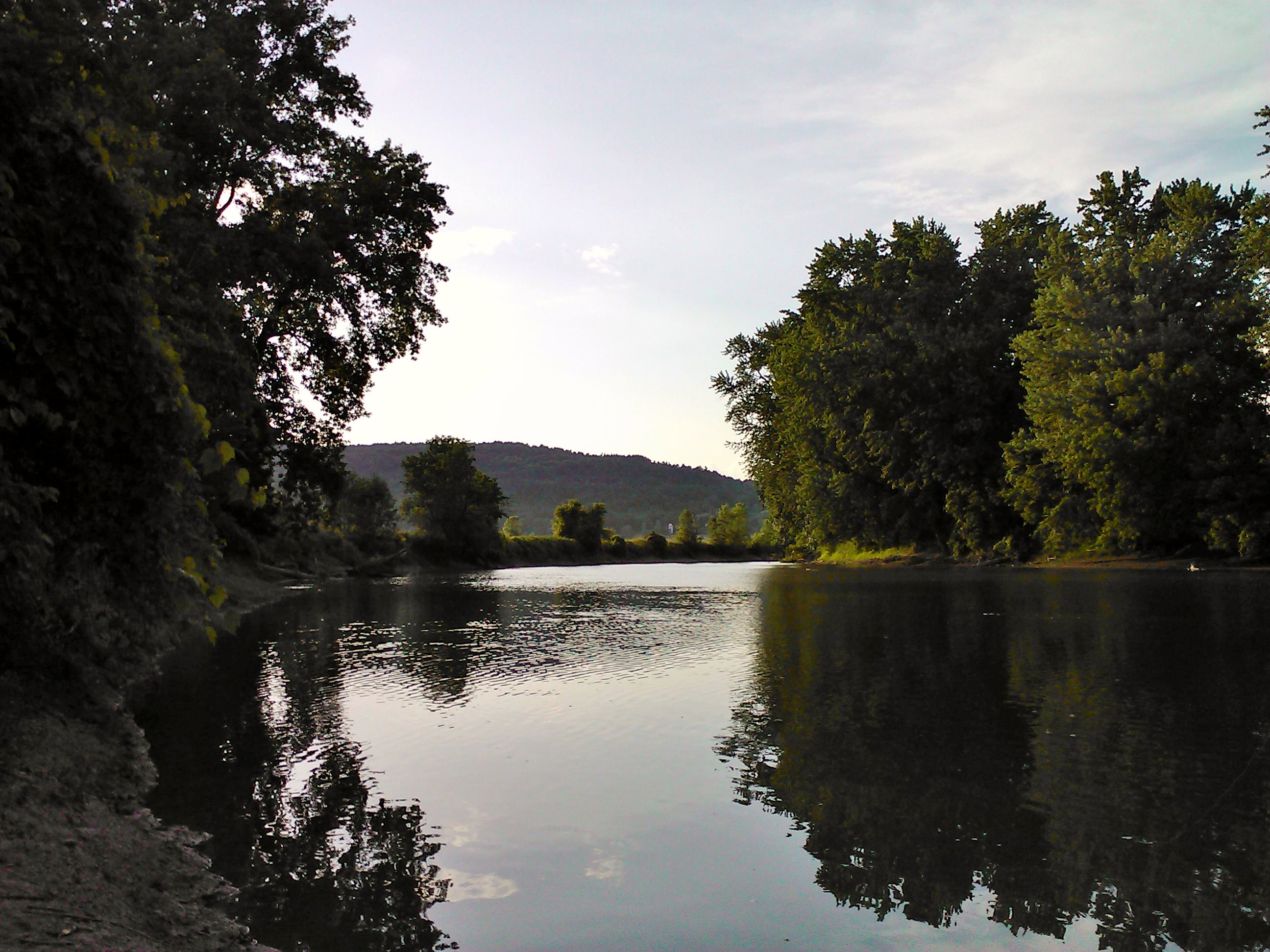
The Mill River is a U.S. Geological Survey. National Hydrography Dataset high-resolution flowline dataThe National Map, accessed December 9, 2011 tributary of Otter Creek in Rutland County, Vermont, in the United States. The Mill River rises in the southern part of the town of Mount Holly, west of the Okemo Mountain ski area in the Green Mountains. It flows northwest, paralleled by Vermont Route 155, to the village of East Wallingford, where it continues north and northwest paralleled by Vermont Route 103 and the Green Mountain Railroad. Just before entering the town of Clarendon it passes through Clarendon Gorge, where it is crossed by the Appalachian Trail. It turns west and then southwest at the village of East Clarendon, passes under U.S. Route 7, and reaches Otter Creek southwest of the village of Clarendon. See also *List of rivers of Vermont This is a list of rivers in the U.S. state of Vermont, sorted by drainage basin, and ordered from lower to higher, with the town ... [...More Info...] [...Related Items...] OR: [Wikipedia] [Google] [Baidu] |
United States
The United States of America (U.S.A. or USA), commonly known as the United States (U.S. or US) or America, is a country primarily located in North America. It consists of 50 states, a federal district, five major unincorporated territories, nine Minor Outlying Islands, and 326 Indian reservations. The United States is also in free association with three Pacific Island sovereign states: the Federated States of Micronesia, the Marshall Islands, and the Republic of Palau. It is the world's third-largest country by both land and total area. It shares land borders with Canada to its north and with Mexico to its south and has maritime borders with the Bahamas, Cuba, Russia, and other nations. With a population of over 333 million, it is the most populous country in the Americas and the third most populous in the world. The national capital of the United States is Washington, D.C. and its most populous city and principal financial center is New York City. Paleo-Americ ... [...More Info...] [...Related Items...] OR: [Wikipedia] [Google] [Baidu] |
Green Mountains
The Green Mountains are a mountain range in the U.S. state of Vermont. The range runs primarily south to north and extends approximately from the border with Massachusetts to the border with Quebec, Canada. The part of the same range that is in Massachusetts and Connecticut is known as The Berkshires or the Berkshire Hills (with the Connecticut portion, mostly in Litchfield County, locally called the Northwest Hills or Litchfield Hills) and the Quebec portion is called the Sutton Mountains, or ' in French. All mountains in Vermont are often referred to as the "Green Mountains". However, other ranges within Vermont, including the Taconic Mountains in southwestern Vermont and the Northeastern Highlands, are not geologically part of the Green Mountains. Peaks The best-known mountains—for reasons such as high elevation, ease of public access by road or trail (especially the Long Trail and Appalachian Trail), or with ski resorts or towns nearby—in the range include: # Mount ... [...More Info...] [...Related Items...] OR: [Wikipedia] [Google] [Baidu] |
Rivers Of Vermont
This is a list of rivers in the U.S. state of Vermont, sorted by drainage basin, and ordered from lower to higher, with the towns at their mouths: Connecticut River The Connecticut River flows south towards Long Island Sound in Connecticut. Flowing into it are: * Deerfield River, Greenfield, Massachusetts ** Green River, Greenfield, Massachusetts ** Glastenbury River, Somerset * Fall River, Greenfield, Massachusetts * Whetstone Brook, Brattleboro, Vermont * West River, Brattleboro ** Rock River, Newfane ** Wardsboro Brook, Jamaica ** Winhall River, Londonderry ** Utley Brook, Londonderry * Saxtons River, Westminster * Williams River, Rockingham ** Middle Branch Williams River, Chester * Black River, Springfield * Mill Brook, Windsor * Ottauquechee River, Hartland ** Barnard Brook, Woodstock ** Broad Brook, Bridgewater ** North Branch Ottauquechee River, Bridgewater * White River, White River Junction ** First Branch White River, South Royalton ** Second Branc ... [...More Info...] [...Related Items...] OR: [Wikipedia] [Google] [Baidu] |
List Of Rivers Of Vermont
This is a list of rivers in the U.S. state of Vermont, sorted by drainage basin, and ordered from lower to higher, with the towns at their mouths: Connecticut River The Connecticut River flows south towards Long Island Sound in Connecticut. Flowing into it are: * Deerfield River, Greenfield, Massachusetts ** Green River, Greenfield, Massachusetts ** Glastenbury River, Somerset * Fall River, Greenfield, Massachusetts * Whetstone Brook, Brattleboro, Vermont * West River, Brattleboro ** Rock River, Newfane ** Wardsboro Brook, Jamaica ** Winhall River, Londonderry ** Utley Brook, Londonderry * Saxtons River, Westminster * Williams River, Rockingham ** Middle Branch Williams River, Chester * Black River, Springfield * Mill Brook, Windsor * Ottauquechee River, Hartland ** Barnard Brook, Woodstock ** Broad Brook, Bridgewater ** North Branch Ottauquechee River, Bridgewater * White River, White River Junction ** First Branch White River, South Royalton ** Second Branc ... [...More Info...] [...Related Items...] OR: [Wikipedia] [Google] [Baidu] |
Appalachian Trail
The Appalachian Trail (also called the A.T.), is a hiking trail in the Eastern United States, extending almost between Springer Mountain in Georgia and Mount Katahdin in Maine, and passing through 14 states.Gailey, Chris (2006)"Appalachian Trail FAQs" Outdoors.org (accessed September 14, 2006) The Appalachian Trail Conservancy claims the Appalachian Trail to be the longest hiking-only trail in the world. More than three million people hike segments of the trail each year. The trail was first proposed in 1921 and completed in 1937 after more than a decade of work. Improvements and changes have continued since then. It became the Appalachian National Scenic Trail under the National Trails System Act of 1968. The trail is maintained by 31 trail clubs and multiple partnerships, and managed by the National Park Service, United States Forest Service, and the nonprofit Appalachian Trail Conservancy. Most of the trail is in forest or wild lands, although some portions traverse towns, ... [...More Info...] [...Related Items...] OR: [Wikipedia] [Google] [Baidu] |
Green Mountain Railroad
The Green Mountain Railroad is a class III railroad operating in Vermont. GMRC operates on tracks that had been owned by the Rutland Railroad and Boston and Maine Railroad. The railroad operates on a rail line between North Walpole, New Hampshire, and Rutland, Vermont. GMRC's corporate colors are green and yellow. Once owned by F. Nelson Blount, the founder of Steamtown, USA, GMRC controlled the tracks that were used for Steamtown's excursions between Riverside Station in Bellows Falls and Chester, Vermont. After Blount's death in 1967, GMRC changed hands, and a bitter relationship between the two organizations developed.Steamtown Seeks Increased Control Over Tracks Lewiston Daily News. October 5, 1976. Pg. 10 Accessed July 14, 2010 |
Vermont Route 103
Vermont Route 103 (VT 103) is a north–south state highway in southern Vermont, United States. It runs from U.S. Route 5 (US 5) in Rockingham in the east to US 7 in Clarendon near Rutland in the west. The Vermont Country Store's second branch is one attraction along the route, as well as the Okemo Ski Resort in Ludlow. Route description VT 103 is a major arterial road for Vermont, being the most direct path from Boston and southeastern New England to Rutland and the Green Mountains ski areas and attractions. Although U.S. Route 4 is a shorter and slightly better road across the Green Mountains to Rutland, it is a direct east–west road intersecting Interstate 91 significantly north of the diagonal 103. Numerous proposals to widen 103 into a two-lane freeway or similar limited-access roadway have failed, even though a substantial power company right of way shadows the road for much of its length. VT 103 begins at U.S. Route 5 in Rockingham just east of Interstate ... [...More Info...] [...Related Items...] OR: [Wikipedia] [Google] [Baidu] |
Vermont Route 155
Vermont Route 155 (VT 155) is a north–south state highway in central Vermont, United States. It runs from VT 100 in Weston in the south to VT 103 in East Wallingford in the north. Much of the highway goes through the Green Mountain National Forest. VT 155 was part of VT 8 until May 1961, when the section between Weston and Wallingford was re-designated. Route description VT 155 begins at an intersection with VT 100 in the Windsor County town of Weston. Running along the eastern edge of Green Mountain National Forest, VT 155 runs northwest along the West River. A two-lane mountain road, the route runs straight into the forest, making a junction with the dead-ending Forest Highway 299 (FFH 299). At FFH–299, VT 155 turns northeast and crosses into Rutland County. Now in the town of Mount Holly, the route continues along the forest border, turning northwest as Weston Road. VT 155 winds along the ... [...More Info...] [...Related Items...] OR: [Wikipedia] [Google] [Baidu] |
Okemo Mountain
Okemo Mountain Resort is a ski resort located in the town of Ludlow, Vermont, United States. The resort experienced 600,000 skier visits in 2009. Parents Magazine rated it the Top US Family Snow Resort. History Okemo was founded in 1955 by a group of local businessmen. Operations officially began January 31, 1956, with four inches (102 mm) of snow and trails serviced by two Poma surface lifts. The lower poma cost 20 cents per ride, while the upper one cost 60 cents. The early 1960s saw the introduction of four more Pomas. In these years, Okemo had a reputation of operating with all Poma platter lifts, while other ski areas used double chair lifts to serve advanced ski terrain. The first chairlift, the Sachem double, was introduced in 1965. Along with all of these improvements, Okemo began to offer slopeside lodging starting in 1961. In 1963, Okemo purchased its first groomer, a Tucker Sno-Cat model. Snowmaking was first used, starting with the lower ... [...More Info...] [...Related Items...] OR: [Wikipedia] [Google] [Baidu] |
Vermont
Vermont () is a state in the northeast New England region of the United States. Vermont is bordered by the states of Massachusetts to the south, New Hampshire to the east, and New York to the west, and the Canadian province of Quebec to the north. Admitted to the union in 1791 as the 14th state, it is the only state in New England not bordered by the Atlantic Ocean. According to the 2020 U.S. census, the state has a population of 643,503, ranking it the second least-populated in the U.S. after Wyoming. It is also the nation's sixth-smallest state in area. The state's capital Montpelier is the least-populous state capital in the U.S., while its most-populous city, Burlington, is the least-populous to be a state's largest. For some 12,000 years, indigenous peoples have inhabited this area. The competitive tribes of the Algonquian-speaking Abenaki and Iroquoian-speaking Mohawk were active in the area at the time of European encounter. During the 17th century, Fr ... [...More Info...] [...Related Items...] OR: [Wikipedia] [Google] [Baidu] |
Otter Creek (Vermont)
Otter Creek is the longest river entirely contained within the borders of Vermont. Roughly long, it is the primary watercourse running through Rutland County and Addison County. The mouth of the river flows into Lake Champlain. Settled by indigenous peoples at least 10-11,000 years ago, the river was an important economic region for indigenous people before European settlement. The river became an important economic region for settlers, who took advantage of the river for agriculture and industry through the 18th and 19th centuries. History Before European settlement, the river valley was settled by native peoples and was called by early settlers as the "Indian road" because of its importance to navigating Abenaki, Algonquin and Iroquois settlements in the region. Archeological evidence suggest both war parties and trading happened between communities on the river. Otter Creek (or "Kill") was known to the French as "La Rivière aux Loutres", whence the English name. On April ... [...More Info...] [...Related Items...] OR: [Wikipedia] [Google] [Baidu] |
Clarendon, Vermont
Clarendon is a town in Rutland County, Vermont, United States. The population was 2,412 at the 2020 census. Clarendon spans U.S. Route 7 and is split by the highway, the Cold River and Mill River, Otter Creek, and the Green Mountains into the hamlets of Clarendon, West Clarendon, East Clarendon, Clarendon Springs, and North Clarendon History The area that later formed the Town of Clarendon was settled by families from lower New England as early as 1762. It and the surrounding area was then part of Albany County, New York, but was later split off as Charlotte County until Vermont declared itself as a republic around 1777. Land claims by New Hampshire were eventually settled, and in 1791 Vermont became a state. Clarendon now includes the following entries on the National Register of Historic Places: * Brown Covered Bridge – bridges the Cold River on Cold River Road in North Clarendon. NOTE: The Brown Covered Bridge is actually on the Upper Cold River Road in Shrewsbury and ... [...More Info...] [...Related Items...] OR: [Wikipedia] [Google] [Baidu] |


