|
Clarendon, Vermont
Clarendon is a New England town, town in Rutland County, Vermont, Rutland County, Vermont, United States. The population was 2,412 at the 2020 United States Census, 2020 census. Clarendon spans U.S. Route 7 in Vermont, U.S. Route 7 and is split by the highway, the Cold River (Vermont), Cold River and Mill River (Otter Creek), Mill River, Otter Creek (Vermont), Otter Creek, and the Green Mountains into the hamlets of Clarendon, West Clarendon, East Clarendon, Clarendon Springs, and North Clarendon. History The area that later formed the Town of Clarendon was settled by families from lower New England as early as 1762. It and the surrounding area was then part of Albany County, New York, but was later split off as Charlotte County, Province of New York, Charlotte County until Vermont declared itself as a Vermont Republic, republic around 1777. Land claims by New Hampshire were eventually settled, and in 1791 Vermont became a state. Clarendon now includes the following entries on ... [...More Info...] [...Related Items...] OR: [Wikipedia] [Google] [Baidu] |
Clarendon Congregational Church
The Clarendon Congregational Church (also known as the Old Brick Church and the Brick Church at Clarendon) is a historic church building at 298 Middle Road in Clarendon, Vermont. Built in 1824 and modified with Gothic features in the 1880s, it is a well-preserved 19th-century brick church. The building was listed on the National Register of Historic Places The National Register of Historic Places (NRHP) is the Federal government of the United States, United States federal government's official United States National Register of Historic Places listings, list of sites, buildings, structures, Hist ... in 1984. The present minister is Rev. Bill Kingsley. Architecture and history The Clarendon Congregational Church stands in the historic town center of Clarendon, opposite the town offices and facing the small town common on the east side of Middle Road in central Clarendon. It is a single-story brick building, covered by a gabled slate roof. A gabled entry pavilion projec ... [...More Info...] [...Related Items...] OR: [Wikipedia] [Google] [Baidu] |
East Clarendon Railroad Station
The East Clarendon Railroad Station is a historic railroad station at 212 Vermont Route 103 in Clarendon, Vermont. Built in 1916 by the Rutland Railroad and in service for 35 years, it is a well-preserved reminder of the importance of the railroad through the area. It was listed on the National Register of Historic Places The National Register of Historic Places (NRHP) is the Federal government of the United States, United States federal government's official United States National Register of Historic Places listings, list of sites, buildings, structures, Hist ... in 1999. It presently houses a restaurant. Description and history The former East Clarendon Railroad Station stands in central eastern Clarendon, at the triangular junction of Route 103 and East Clarendon Road. The latter road roughly parallels the tracks of the Rutland Railroad, an active freight line. The station originally stood between the road and the tracks, about southeast of its present location, t ... [...More Info...] [...Related Items...] OR: [Wikipedia] [Google] [Baidu] |
New England Town
The town is the basic unit of Local government in the United States, local government and local division of state authority in the six New England states. Most other U.S. states lack a direct counterpart to the New England town. New England towns overlie the entire area of a state, similar to civil townships in other states where they exist, but they are fully functioning Incorporation (municipal government), municipal corporations, possessing powers similar to city, cities and county, counties in other states. Local government in New Jersey, New Jersey's system of equally powerful townships, boroughs, towns, and cities is the system which is most similar to that of New England. New England towns are often governed by a town meeting, an assembly of eligible town residents. The great majority of municipal corporations in New England are based on the town model; there, statutory forms based on the concept of a Place (United States Census Bureau), compact populated place are uncommon ... [...More Info...] [...Related Items...] OR: [Wikipedia] [Google] [Baidu] |
Otter Creek (Vermont)
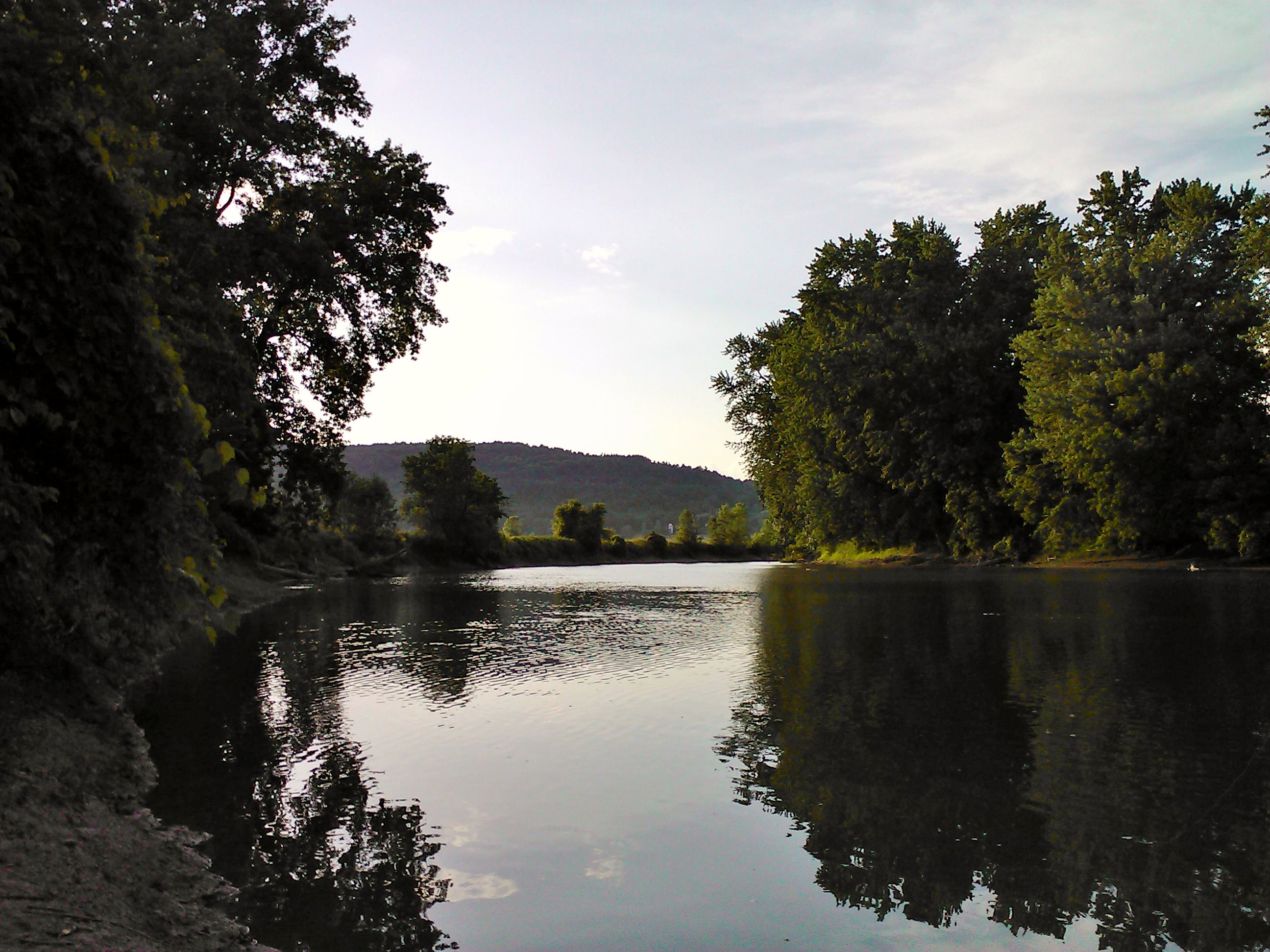
Otter Creek is the longest river entirely contained within the borders of Vermont. Roughly long, it is the primary watercourse running through Rutland County and Addison County. The mouth of the river flows into Lake Champlain. Settled by indigenous peoples at least 10-11,000 years ago, the river was an important economic region for indigenous people before European settlement. The river became an important economic region for settlers, who took advantage of the river for agriculture and industry through the 18th and 19th centuries. History Before European settlement, the river valley was settled by native peoples including the Abenaki, who called it Wnegigwtegw, meaning "Otter River". The river was known to early settlers as the "Indian road" because of its importance to navigating Abenaki, Algonquin and Iroquois settlements in the region. Archeological evidence suggest both war parties and trading happened between communities on the river. Otter Creek (or "Kill") was known ... [...More Info...] [...Related Items...] OR: [Wikipedia] [Google] [Baidu] |
Cold River Bridge (Clarendon, Vermont)
The Cold River Bridge was a historic bridge that carried Vermont Route 7B (VT 7B) across the Cold River in Clarendon, Vermont. The bridge, a steel Parker through truss, was built by the American Bridge Company in 1928, and was one of many bridges built in the state in the wake of devastating 1927 floods. It carried U.S. Route 7 (US 7) until bypassed by a bridge to the east, and was closed in 1989. It was listed on the National Register of Historic Places in 1991. It was subsequently demolished after a report noting substantial failures. Description and history The Cold River flows westward across northern Clarendon, en route to its confluence with Otter Creek. The Cold River Bridge carried VT 7B, a former alignment of US 7, across the river, a short way south of VT 7B's northern junction with US 7. It was about in length, with a deck wide, and rested on poured concrete abutments. Its trusses consisted of rolled steel I-beams, fastene ... [...More Info...] [...Related Items...] OR: [Wikipedia] [Google] [Baidu] |
Destination Spa
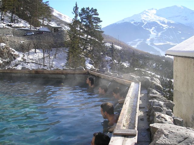
A destination spa or health resort is a resort centered on a spa, such as a mineral spa. Historically, many such spas were developed at the location of natural hot springs or mineral springs. In the era before modern biochemistry and pharmacotherapy, "taking the waters" was often believed to have great medicinal powers. Even without such mystic powers, the stress relief and health education of spas also often has some degree of positive effect on health. Destination spas offer day spa facilities, but what sets them apart is that they also offer hotel facilities so that people can stay multiple nights. Typically, over a seven-day stay, they provide a comprehensive program that includes spa services, physical fitness activities, wellness education, healthy cuisine, and special interest programming. A special subgroup are the medical spas who offer treatments that are paid back by the national health insurance program. All-inclusive program Some destination spas offer an a ... [...More Info...] [...Related Items...] OR: [Wikipedia] [Google] [Baidu] |
Clarendon House (Vermont)
The Clarendon House is a historic former hotel building on Clarendon Springs Lane in Clarendon, Vermont. Built about 1835 and enlarged in the 1850s, it is one of Vermont's finest examples of pre-Civil War resort architecture, and a rare little-altered survivor of that period. The building was listed on the National Register of Historic Places in 1976. It and adjacent buildings are (as of 2015) vacant and for sale. Description and history The Clarendon House stands in a rural area of northwestern Clarendon, on the west bank of the Clarendon River. It is set on the east side of Walker Mountain Road in the cluster of buildings that make up the rural village of Clarendon Springs. It is a large three-story brick structure that is nine bays wide and five deep, with a gabled roof pierced by two rows of gabled dormers on one side, and a single row on the other. The gable ends, and portions of the third floor, are framed in wood and finished in clapboards. The building's defining fe ... [...More Info...] [...Related Items...] OR: [Wikipedia] [Google] [Baidu] |
Hurricane Irene
Hurricane Irene was a large and destructive tropical cyclone which affected much of the Caribbean and East Coast of the United States during late August 2011. The ninth tropical cyclone naming, named storm, first hurricane, and first major hurricane of the 2011 Atlantic hurricane season, Irene originated from a well-defined Atlantic Ocean, Atlantic tropical wave that began showing signs of organization east of the Lesser Antilles. Due to development of atmospheric convection and a closed center of circulation, the system was designated as Tropical Storm Irene on August 20, 2011. After intensifying, Irene made landfall in St. Croix as a strong tropical storm later that day. Early on August 21, the storm made a second landfall in Puerto Rico. While crossing the island, Irene strengthened into a Category 1 hurricane. The storm paralleled offshore of Hispaniola, continuing to slowly intensify in the process. Shortly before making four landfalls in The Bahamas, Irene pe ... [...More Info...] [...Related Items...] OR: [Wikipedia] [Google] [Baidu] |
Brown Covered Bridge
The Brown Covered Bridge is a wooden covered bridge in Shrewsbury, Vermont. Located in the northwestern part of the town, it carries Upper Cold River Road over the Cold River. It was closed to vehicular traffic in 2011 due to damage from Hurricane Irene and reopened on July 5, 2016. Built in 1880 by noted Vermont bridgewright Nichols M. Powers, it was designated a National Historic Landmark in 2014, cited as one of the finest and least-altered examples of a Town lattice truss covered bridge in the United States. Description and history The Brown Covered Bridge is set in a remote wooded ravine in northwestern Shrewsbury, about southeast of Rutland, Vermont. The bridge is a single span lattice truss of a type patented by architect Ithiel Town in 1820. It is in length, and rests on stone abutments that have been capped in concrete. One of the abutments includes an extremely large boulder, a clear adaptation of the bridge to its location. The bridge is believed to be the only st ... [...More Info...] [...Related Items...] OR: [Wikipedia] [Google] [Baidu] |
National Register Of Historic Places
The National Register of Historic Places (NRHP) is the Federal government of the United States, United States federal government's official United States National Register of Historic Places listings, list of sites, buildings, structures, Historic districts in the United States, districts, and objects deemed worthy of Historic preservation, preservation for their historical significance or "great artistic value". The enactment of the National Historic Preservation Act (NHPA) in 1966 established the National Register and the process for adding properties to it. Of the more than one and a half million properties on the National Register, 95,000 are listed individually. The remainder are contributing property, contributing resources within historic district (United States), historic districts. For the most of its history, the National Register has been administered by the National Park Service (NPS), an agency within the United States Department of the Interior. Its goals are to ... [...More Info...] [...Related Items...] OR: [Wikipedia] [Google] [Baidu] |
New Hampshire
New Hampshire ( ) is a U.S. state, state in the New England region of the Northeastern United States. It borders Massachusetts to the south, Vermont to the west, Maine and the Gulf of Maine to the east, and the Canadian province of Quebec to the north. Of the List of states and territories of the United States, 50 U.S. states, New Hampshire is the List of U.S. states and territories by area, seventh-smallest by land area and the List of U.S. states and territories by population, tenth-least populous, with a population of 1,377,529 residents as of the 2020 United States census, 2020 census. Concord, New Hampshire, Concord is the List of capitals in the United States, state capital and Manchester, New Hampshire, Manchester is the List of municipalities in New Hampshire, most populous city. New Hampshire's List of U.S. state mottos, motto, "Live Free or Die", reflects its role in the American Revolutionary War; its state nickname, nickname, "The Granite State", refers to its ext ... [...More Info...] [...Related Items...] OR: [Wikipedia] [Google] [Baidu] |
Vermont Republic
The Vermont Republic, officially known at the time as the State of Vermont, was an independent state in New England that existed from January 15, 1777, to March 4, 1791. The state was founded in January 1777, when delegates from 28 towns met and declared independence from the jurisdictions and land claims of the British colonies of Quebec, New Hampshire, and New York. The republic remained in existence for the next fourteen years, albeit without diplomatic recognition from any foreign power. On March 4, 1791, it was admitted into the United States as the State of Vermont, with the constitution and laws of the independent state continuing in effect after admission. The delegates forbade adult slavery within their republic, although the Vermont constitution continued to make allowances for the enslavement of men under the age of 21 and women under the age of 18. Many Vermonters took part in the American Revolution on the side of the Revolution, but the Continental Congress ... [...More Info...] [...Related Items...] OR: [Wikipedia] [Google] [Baidu] |


