|
Ludlow Station
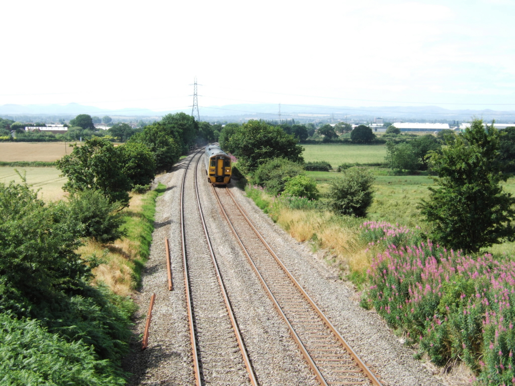
Ludlow railway station in Ludlow, Shropshire, England, lies on the Welsh Marches Line between Shrewsbury to the north and Hereford. The station is on Station Drive, to the northeast of Ludlow town centre. History The station opened on 21 April 1852, as the southern terminus of the first section of the Shrewsbury and Hereford Railway. Trains travelling to or from the south of the station pass through the short Ludlow Tunnel ( long), which passes under Gravel Hill and has its tunnel entrance immediately south of the platforms. A quarter of a mile to the north of the station was Clee Hill Junction, where from 1864 to 1962 a branch line ran to the quarries in the nearby Clee Hills to the east of Ludlow. The engine shed closed in 1951 and the goods yard on 6 May 1968. In the late 1960s, the Victorian buildings at the station were demolished and the last signal boxes closed. Stationmasters *Hugh Morgans from 1852 (formerly goods manager at Conway) *Charles Allen ca. 1854 - ca. ... [...More Info...] [...Related Items...] OR: [Wikipedia] [Google] [Baidu] |
Ludlow
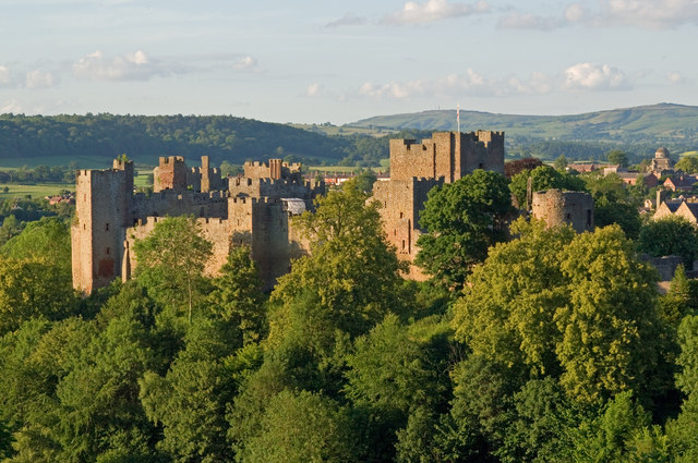
Ludlow () is a market town in Shropshire, England. The town is significant in the history of the Welsh Marches and in relation to Wales. It is located south of Shrewsbury and north of Hereford, on the A49 road which bypasses the town. The town is near the confluence of the rivers Corve and Teme. The oldest part is the medieval walled town, founded in the late 11th century after the Norman conquest of England. It is centred on a small hill which lies on the eastern bank of a bend of the River Teme. Situated on this hill are Ludlow Castle and the parish church, St Laurence's, the largest in the county. From there the streets slope downward to the rivers Corve and Teme, to the north and south respectively. The town is in a sheltered spot beneath Mortimer Forest and the Clee Hills, which are clearly visible from the town. Ludlow has nearly 500 listed buildings, including examples of medieval and Tudor-style half-timbered buildings. The town was described by Sir John Betjeman ... [...More Info...] [...Related Items...] OR: [Wikipedia] [Google] [Baidu] |
Manchester
Manchester () is a city in Greater Manchester, England. It had a population of 552,000 in 2021. It is bordered by the Cheshire Plain to the south, the Pennines to the north and east, and the neighbouring city of Salford to the west. The two cities and the surrounding towns form one of the United Kingdom's most populous conurbations, the Greater Manchester Built-up Area, which has a population of 2.87 million. The history of Manchester began with the civilian settlement associated with the Roman fort ('' castra'') of ''Mamucium'' or ''Mancunium'', established in about AD 79 on a sandstone bluff near the confluence of the rivers Medlock and Irwell. Historically part of Lancashire, areas of Cheshire south of the River Mersey were incorporated into Manchester in the 20th century, including Wythenshawe in 1931. Throughout the Middle Ages Manchester remained a manorial township, but began to expand "at an astonishing rate" around the turn of the 19th century. Manchest ... [...More Info...] [...Related Items...] OR: [Wikipedia] [Google] [Baidu] |
Former Shrewsbury And Hereford Railway Stations
A former is an object, such as a template, gauge or cutting die, which is used to form something such as a boat's hull. Typically, a former gives shape to a structure that may have complex curvature. A former may become an integral part of the finished structure, as in an aircraft fuselage, or it may be removable, being using in the construction process and then discarded or re-used. Aircraft formers Formers are used in the construction of aircraft fuselage, of which a typical fuselage has a series from the nose to the empennage, typically perpendicular to the longitudinal axis of the aircraft. The primary purpose of formers is to establish the shape of the fuselage and reduce the column length of stringers to prevent instability. Formers are typically attached to longerons, which support the skin of the aircraft. The "former-and-longeron" technique (also called stations and stringers) was adopted from boat construction, and was typical of light aircraft built until the ad ... [...More Info...] [...Related Items...] OR: [Wikipedia] [Google] [Baidu] |
DfT Category E Stations
The Department for Transport (DfT) is a department of His Majesty's Government responsible for the English transport network and a limited number of transport matters in Scotland, Wales and Northern Ireland that have not been devolved. The department is run by the Secretary of State for Transport, currently (since 25 October 2022) Mark Harper. The expenditure, administration and policy of the Department for Transport are scrutinised by the Transport Committee. History The Ministry of Transport was established by the Ministry of Transport Act 1919 which provided for the transfer to the new ministry of powers and duties of any government department in respect of railways, light railways, tramways, canals and inland waterways, roads, bridges and ferries, and vehicles and traffic thereon, harbours, docks and piers. In September 1919, all the powers of the Road Board, the Ministry of Health, and the Board of Trade in respect of transport, were transferred to the new ministry. ... [...More Info...] [...Related Items...] OR: [Wikipedia] [Google] [Baidu] |
Railway Stations In Shropshire
Rail transport (also known as train transport) is a means of transport that transfers passengers and goods on wheeled vehicles running on rails, which are incorporated in tracks. In contrast to road transport, where the vehicles run on a prepared flat surface, rail vehicles (rolling stock) are directionally guided by the tracks on which they run. Tracks usually consist of steel rails, installed on sleepers (ties) set in ballast, on which the rolling stock, usually fitted with metal wheels, moves. Other variations are also possible, such as "slab track", in which the rails are fastened to a concrete foundation resting on a prepared subsurface. Rolling stock in a rail transport system generally encounters lower frictional resistance than rubber-tyred road vehicles, so passenger and freight cars (carriages and wagons) can be coupled into longer trains. The operation is carried out by a railway company, providing transport between train stations or freight customer facil ... [...More Info...] [...Related Items...] OR: [Wikipedia] [Google] [Baidu] |
Railways Of Shropshire
The English county of Shropshire has a fairly large railway network, with 19 National Rail stations on various national lines; there are also a small number of heritage and freight lines, including the famous heritage Severn Valley Railway running along its eastern border with Worcestershire. The majority of the county's public rail services are run by Transport for Wales Rail; the remainder are run by West Midlands Trains (under their ''West Midlands Railway'' brand) and Avanti West Coast. National Rail services National Rail services in Shropshire are centred about Shrewsbury station (all other 'national rail' stations in Shropshire have a direct train service to Shrewsbury, which is the county town), which is managed by Transport for Wales. The station is at the junction of the Wolverhampton to Shrewsbury Line, Shrewsbury to Chester Line, the Welsh Marches Line (between Cardiff and Manchester) and the Cambrian Line (towards Welshpool). Craven Arms station is at the junct ... [...More Info...] [...Related Items...] OR: [Wikipedia] [Google] [Baidu] |
Accessibility
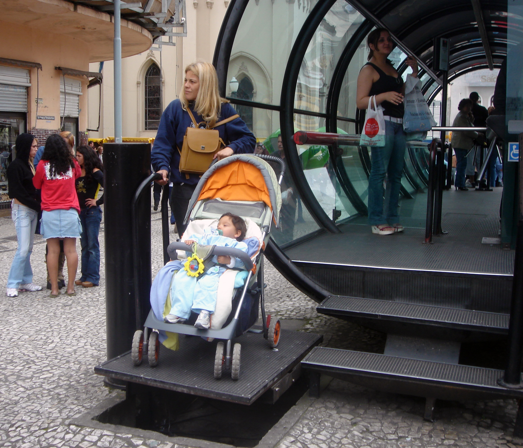
Accessibility is the design of products, devices, services, vehicles, or environments so as to be usable by people with disabilities. The concept of accessible design and practice of accessible development ensures both "direct access" (i.e. unassisted) and "indirect access" meaning compatibility with a person's assistive technology (for example, computer screen readers). Accessibility can be viewed as the "ability to access" and benefit from some system or entity. The concept focuses on enabling access for people with disabilities, or enabling access through the use of assistive technology; however, research and development in accessibility brings benefits to everyone. Accessibility is not to be confused with usability, which is the extent to which a product (such as a device, service, or environment) can be used by specified users to achieve specified goals with effectiveness, efficiency, convenience, or satisfaction in a specified context of use. Accessibility is a ... [...More Info...] [...Related Items...] OR: [Wikipedia] [Google] [Baidu] |
Ludlow Railway Station - DSCF2005
Ludlow () is a market town in Shropshire, England. The town is significant in the history of the Welsh Marches and in relation to Wales. It is located south of Shrewsbury and north of Hereford, on the A49 road which bypasses the town. The town is near the confluence of the rivers Corve and Teme. The oldest part is the medieval walled town, founded in the late 11th century after the Norman conquest of England. It is centred on a small hill which lies on the eastern bank of a bend of the River Teme. Situated on this hill are Ludlow Castle and the parish church, St Laurence's, the largest in the county. From there the streets slope downward to the rivers Corve and Teme, to the north and south respectively. The town is in a sheltered spot beneath Mortimer Forest and the Clee Hills, which are clearly visible from the town. Ludlow has nearly 500 listed buildings, including examples of medieval and Tudor-style half-timbered buildings. The town was described by Sir John Betjeman ... [...More Info...] [...Related Items...] OR: [Wikipedia] [Google] [Baidu] |
Premier Service
The ''Premier Service'' is a passenger train service operated by Transport for Wales Rail between Holyhead and Cardiff in Wales. History On 15 December 2008, the ''Premier Service'' commenced operating between Holyhead and Cardiff Central. Originally named ''Y Gerallt Gymro'' (Gerald of Wales), it was funded by the Welsh Government as a premium service to connect North and South Wales. Grand Central and Wrexham & Shropshire expressed an interest in operating the service; however, the contract was awarded to Wales & Borders franchise holder Arriva Trains Wales. Four Class 57s (57313-57316) were sublet from Virgin Trains West Coast to operate in top and tail formation, with one Mark 3 and three Mark 2 carriages. By February 2009, the service was being operated by a single Class 57. In March 2012, the Class 57s were replaced by DB Schenker Class 67s. The Mark 2 carriages were replaced with Mark 3s at the same time. It originally ran via Crewe but, from September 2012, it was ... [...More Info...] [...Related Items...] OR: [Wikipedia] [Google] [Baidu] |
Craven Arms Railway Station
Craven Arms railway station serves the town of Craven Arms in Shropshire, England. Until 1974 it was known as "Craven Arms and Stokesay", named after the nearby coaching inn (the town having not come into being prior to the arrival of the railways) and the historic settlement of Stokesay to the south. It is situated at the junction of the Welsh Marches Line and the Heart of Wales Line, south of Shrewsbury. All passenger trains calling at the station are operated by Transport for Wales, who also manage it. The station has two platforms, connected by a footbridge. Platform 1, on the west side, serves northbound trains to Shrewsbury and beyond as well as trains from Swansea via the Heart of Wales Line. Platform 2, on the town side of the station, serves southbound trains to Hereford and Cardiff and also southbound HoW services since signalling and track alterations in October 2018. Prior to these changes, southbound trains to and beyond used platform 1 in both directions (the c ... [...More Info...] [...Related Items...] OR: [Wikipedia] [Google] [Baidu] |
Leominster Railway Station
Leominster railway station lies on the Welsh Marches Line serving the Herefordshire town of Leominster in England. It is situated north of Hereford. Leominster has 2 operational platforms for north (Ludlow) and south (Hereford) bound trains respectively, though in the past it had three more to the east of the ones now in use. History Developed jointly by the Great Western Railway and the LNWR, it was originally a through station on their joint Shrewsbury and Hereford Railway. The GWR then took over two independently financed and developed branch lines, creating a busy junction station: *Leominster and Kington Railway to Kington and Presteigne (Platforms 3/4) *Worcester, Bromyard and Leominster Railway to Worcester (Platforms 4/5) Both branches were however closed to passenger traffic by British Railways in the 1950s – services to Worcester ended in 1952 and to Kington in 1955. Facilities The station has a ticket office on platform 1, that is manned on a part-time basis ... [...More Info...] [...Related Items...] OR: [Wikipedia] [Google] [Baidu] |
Telford Central Railway Station
Telford Central railway station serves the town of Telford, Shropshire, England. It is located on the Wolverhampton to Shrewsbury Line north west of Wolverhampton and is operated by West Midlands Trains. It is situated close to the Telford Shopping Centre, the main commercial district of the town. History Telford was designated as a new town in the 1960s and, until the 1980s, was served by two stations which predated its foundation: Oakengates and Wellington railway stations. Wellington was at one stage renamed "Wellington-Telford West" to indicate that it was located in the new town. (Until 1985, the line through the designated area also had a 'halt station' called New Hadley Halt, between Oakengates and Wellington.) The situation changed in May 1986, when Telford Central opened. The new station was equipped with full-length platforms to accommodate inter-city trains. The development included a large car park, which took advantage of its location next to the M54 motorway t ... [...More Info...] [...Related Items...] OR: [Wikipedia] [Google] [Baidu] |


