|
Listed Buildings In Fawcett Forest
Selside and Fawcett Forest is a civil parish in the South Lakeland District of Cumbria, England. It contains 22 listed buildings that are recorded in the National Heritage List for England. Of these, one is listed at Grade II*, the middle of the three grades, and the others are at Grade II, the lowest grade. The parish contains the village of Selside Selside is a small village in rural Cumbria, England, about north of Kendal, close to the A6 road. It is now in the civil parish of Selside and Fawcett Forest, though it was formerly in the parish of Kendal. The population of Whitwell and Se ... and smaller settlements, and is otherwise rural. The listed buildings consist of houses, farmhouses and farm buildings, bridges, mileposts, and a church. __NOTOC__ Key Buildings References Citations Sources * * * * * * * * * * * * * * * * * * * * * * * * {{DEFAULTSORT:Selside and Fawcett Forest Lists of listed buildings in Cumbria South Lakeland District [...More Info...] [...Related Items...] OR: [Wikipedia] [Google] [Baidu] |
Selside And Fawcett Forest
Selside and Fawcett Forest is a civil parish in the South Lakeland district, in the county of Cumbria, England. It was created on 1 April 2020, from the civil parishes of Fawcett Forest and Whitwell and Selside. It borders the parishes of Skelsmergh and Scalthwaiterigg, Longsleddale, Shap Rural, Orton, Whinfell and Strickland Roger. The population of "Whitwell and Selside" in the 2011 United Kingdom census A census of the population of the United Kingdom is taken every ten years. The 2011 census was held in all countries of the UK on 27 March 2011. It was the first UK census which could be completed online via the Internet. The Office for National ... was 296, but data for Fawcett Forest is unavailable. See also * Listed buildings in Selside and Fawcett Forest References {{Reflist Civil parishes in Cumbria South Lakeland District ... [...More Info...] [...Related Items...] OR: [Wikipedia] [Google] [Baidu] |
Cruck
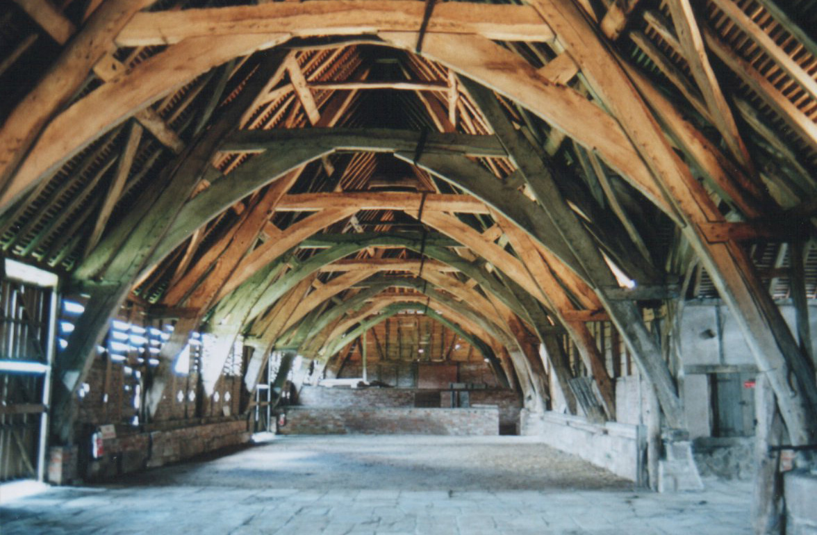
A cruck or crook frame is a curved timber, one of a pair, which support the roof of a building, historically used in England and Wales. This type of timber framing consists of long, generally naturally curved, timber members that lean inwards and form the ridge of the roof. These posts are then generally secured by a horizontal beam which then forms an "A" shape. Several of these "crooks" are constructed on the ground and then lifted into position. They are then joined together by either solid walls or cross beams which aid in preventing 'racking' (the action of each individual frame going out of square with the rest of the frame, and thus risking collapse). Etymology The term ''crook'' or ''cruck'' comes from Middle English ', from Old Norse ', meaning "hook". This is also the origin of the word "crooked", meaning bent, twisted or deformed, and also the crook used by shepherds and symbolically by bishops. Use Crucks were chiefly used in the medieval period for structures such ... [...More Info...] [...Related Items...] OR: [Wikipedia] [Google] [Baidu] |
Limestone
Limestone ( calcium carbonate ) is a type of carbonate sedimentary rock which is the main source of the material lime. It is composed mostly of the minerals calcite and aragonite, which are different crystal forms of . Limestone forms when these minerals precipitate out of water containing dissolved calcium. This can take place through both biological and nonbiological processes, though biological processes, such as the accumulation of corals and shells in the sea, have likely been more important for the last 540 million years. Limestone often contains fossils which provide scientists with information on ancient environments and on the evolution of life. About 20% to 25% of sedimentary rock is carbonate rock, and most of this is limestone. The remaining carbonate rock is mostly dolomite, a closely related rock, which contains a high percentage of the mineral dolomite, . ''Magnesian limestone'' is an obsolete and poorly-defined term used variously for dolomite, for limes ... [...More Info...] [...Related Items...] OR: [Wikipedia] [Google] [Baidu] |
River Sprint
The River Sprint is a river in Cumbria, England with its source high up on the south-facing side of Harter Fell. It flows into the River Kent just to the south of Burneside. The first two miles of the river is made up of a series of short flat sections interspersed by spectacular water falls, before it enters Longsleddale valley. When in Longsleddale, it begins to get wider as it is fed by a large number of streams (known as becks; a term derived from Old Norse). The River Sprint is the fastest rising river in England, and frequently floods in Longsleddale valley, making the road impassable. The river is spectacular at times of high flow, and is popular with canoeists and fishermen. Industry The river powered mills from medieval times to the twentieth century There were mills at Garnett Bridge and downstream at Sprint Mill near Burneside. Ecology Like other tributaries of the Kent, the Sprint is a stronghold of the white clawed crayfish, one of the reasons for the desi ... [...More Info...] [...Related Items...] OR: [Wikipedia] [Google] [Baidu] |
Garnett Bridge - Geograph
{{Disambiguation ...
Garnett may refer to: * Garnett (surname) * Garnett, Kansas, a city in Kansas * Garnett station, a MARTA rail station in Atlanta, Georgia See also *Harnett Harnett may refer to: __NOTOC__ People Given name * Harnett Kane (1910–1984), American author Surname * Cornelius Harnett (1723–1781), American statesman * Curt Harnett (born 1965), Canadian racing cyclist * Cynthia Harnett (1893–1981), Engli ... [...More Info...] [...Related Items...] OR: [Wikipedia] [Google] [Baidu] |
Coping (architecture)
Coping (from ''cope'', Latin ''capa'') is the capping or covering of a wall. A splayed or wedge coping is one that slopes in a single direction; a saddle coping slopes to either side of a central high point. A coping may be made of stone (capstone), brick, clay or terracotta, concrete or cast stone, tile, slate, wood, thatch, or various metals, including aluminum, copper, stainless steel, steel, and zinc. In all cases it should be weathered (have a slanted or curved top surface) to throw off the water. In Romanesque work, copings appeared plain and flat, and projected over the wall with a throating to form a drip. In later work a steep slope was given to the weathering (mainly on the outer side), and began at the top with an astragal; in the Decorated Gothic style there were two or three sets off; and in the later Perpendicular Gothic these assumed a wavy section, and the coping mouldings continued round the sides, as well as at top and bottom, mitring at the angles, as ... [...More Info...] [...Related Items...] OR: [Wikipedia] [Google] [Baidu] |
Parapet
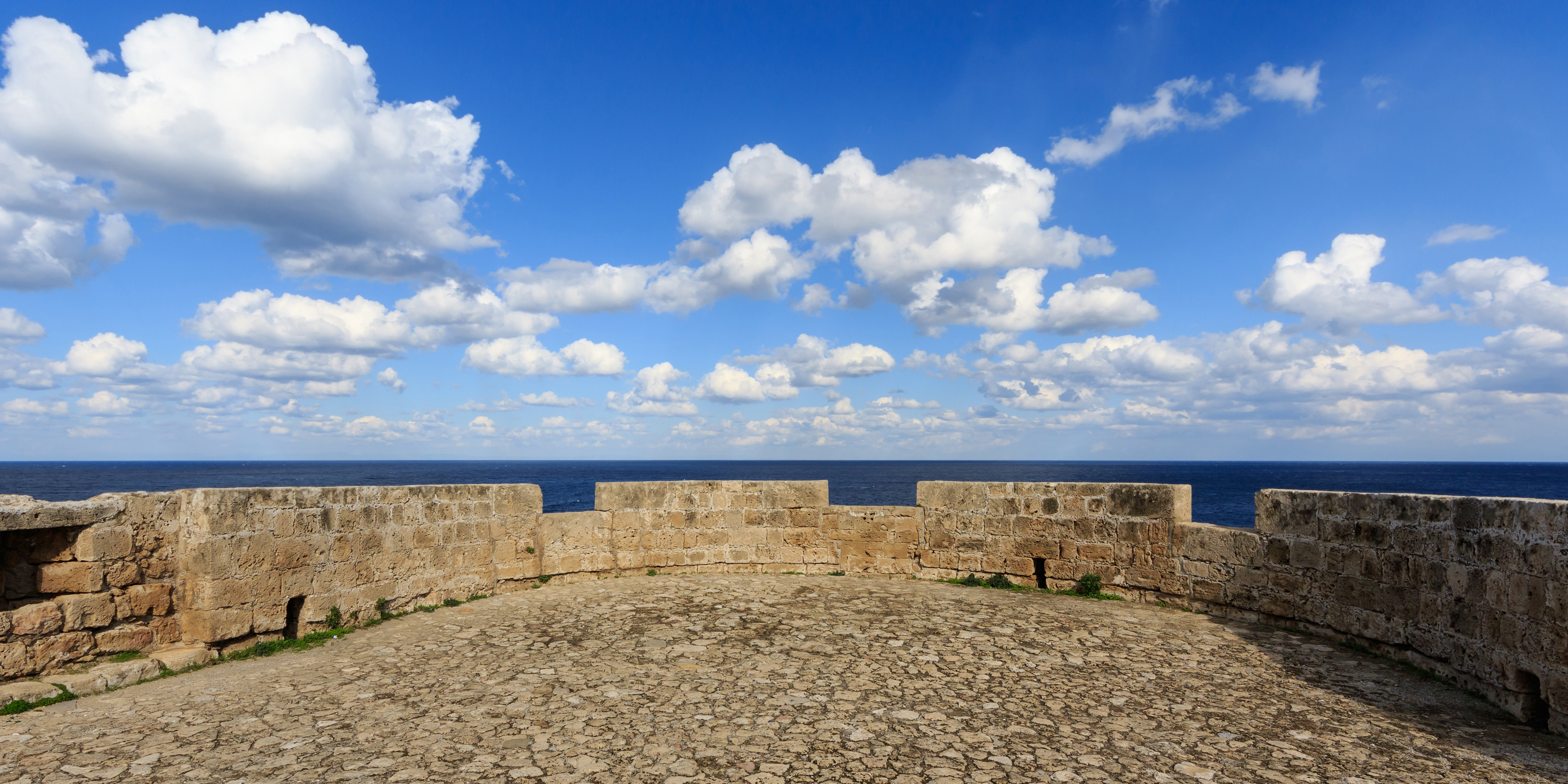
A parapet is a barrier that is an extension of the wall at the edge of a roof, terrace, balcony, walkway or other structure. The word comes ultimately from the Italian ''parapetto'' (''parare'' 'to cover/defend' and ''petto'' 'chest/breast'). Where extending above a roof, a parapet may simply be the portion of an exterior wall that continues above the edge line of the roof surface, or may be a continuation of a vertical feature beneath the roof such as a fire wall or party wall. Parapets were originally used to defend buildings from military attack, but today they are primarily used as guard rails, to conceal rooftop equipment, reduce wind loads on the roof, and to prevent the spread of fires. In the Bible the Hebrews are obligated to build a parapet on the roof of their houses to prevent people falling (Deuteronomy 22:8). Parapet types Parapets may be plain, embattled, perforated or panelled, which are not mutually exclusive terms. *Plain parapets are upward extensions of ... [...More Info...] [...Related Items...] OR: [Wikipedia] [Google] [Baidu] |
Turnpike Trusts
Turnpike trusts were bodies set up by individual acts of Parliament, with powers to collect road tolls for maintaining the principal roads in Britain from the 17th but especially during the 18th and 19th centuries. At the peak, in the 1830s, over 1,000 trusts administered around of turnpike road in England and Wales, taking tolls at almost 8,000 toll-gates and side-bars. During the early 19th century the concept of the turnpike trust was adopted and adapted to manage roads within the British Empire (Ireland, Canada, Australia, New Zealand, India, and South Africa) and in the United States. Turnpikes declined with the coming of the railways and then the Local Government Act 1888 gave responsibility for maintaining main roads to county councils and county borough councils. Etymology The term "turnpike" originates from the similarity of the gate used to control access to the road, to the barriers once used to defend against attack by cavalry (see Cheval de frise). The turnp ... [...More Info...] [...Related Items...] OR: [Wikipedia] [Google] [Baidu] |
Eamont Bridge
Eamont Bridge is a small village immediately to the south of Penrith, Cumbria, England. The village is named after the bridge over the River Eamont and straddles the boundary between the historic counties of Cumberland and Westmorland. One of the houses in the village is called the "Welcome Inn" and was at one time the "Welcome into Cumberland Inn". Features There are two ancient sites in the village, namely the earthwork known as King Arthur's Round Table and the much better preserved Mayburgh Henge which is situated between the rivers Lowther and Eamont. Mayburgh Henge was built using stones from one or both rivers. The location between the rivers was probably important when it was built 3000 or 4000 years ago, which protected it from invasion. Both sites are under the protection of Historic England. There was another henge close to King Arthur's Round Table, which is now obliterated. A cup was reputed to have been found at the centre of the King Arthur's Round Table Henge. ... [...More Info...] [...Related Items...] OR: [Wikipedia] [Google] [Baidu] |
Voussoir
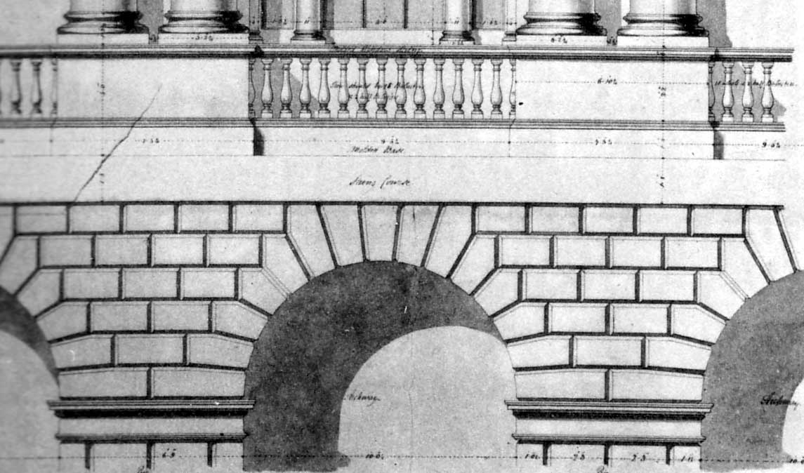
A voussoir () is a wedge-shaped element, typically a stone, which is used in building an arch or vault. Although each unit in an arch or vault is a voussoir, two units are of distinct functional importance: the keystone and the springer. The keystone is the centre stone or masonry unit at the apex of an arch. The springer is the lowest voussoir on each side, located where the curve of the arch springs from the vertical support or abutment of the wall or pier. The keystone is often decorated or enlarged. An enlarged and sometimes slightly dropped keystone is often found in Mannerist arches of the 16th century, beginning with the works of Giulio Romano, who also began the fashion for using voussoirs above rectangular openings, rather than a lintel (Palazzo Stati Maccarani, Rome, circa 1522). The word is a stonemason's term borrowed in Middle English from French verbs connoting a "turn" (''OED''). Each wedge-shaped voussoir ''turns aside'' the thrust of the mass above, transf ... [...More Info...] [...Related Items...] OR: [Wikipedia] [Google] [Baidu] |
Cumberland
Cumberland ( ) is a historic county in the far North West England. It covers part of the Lake District as well as the north Pennines and Solway Firth coast. Cumberland had an administrative function from the 12th century until 1974. From 1974 until 2023, Cumberland lay within Cumbria, a larger administrative area which also covered Westmorland and parts of Yorkshire and Lancashire. In April 2023, Cumberland will be revived as an administrative entity when Cumbria County Council is abolished and replaced by two unitary authorities; one of these is to be named Cumberland and will include most of the historic county, with the exception of Penrith and the surrounding area. Cumberland is bordered by the historic counties of Northumberland to the north-east, County Durham to the east, Westmorland to the south-east, Lancashire to the south, and the Scottish counties of Dumfriesshire and Roxburghshire to the north. Early history In the Early Middle Ages, Cumbria was part of t ... [...More Info...] [...Related Items...] OR: [Wikipedia] [Google] [Baidu] |


