|
List Of World Heritage Sites In Jordan
The United Nations Educational, Scientific and Cultural Organization (UNESCO) World Heritage Sites are places of importance to cultural or natural heritage as described in the UNESCO World Heritage Convention, established in 1972. Jordan accepted the convention on 5 May 1975, making its historical sites eligible for inclusion on the list. As of 2021, Six sites in Jordan are included. World Heritage Sites :Site; named after the World Heritage Committee's official designation :Location; at city, regional, or provincial level and geocoordinates :Criteria; as defined by the World Heritage Committee :Area; in hectares and acres. If available, the size of the buffer zone has been noted as well. The lack of value implies that no data has been published by UNESCO :Year; during which the site was inscribed to the World Heritage List :Description; brief information about the site, including reasons for qualifying as an endangered site, if applicable Tentative list In addition to s ... [...More Info...] [...Related Items...] OR: [Wikipedia] [Google] [Baidu] |
Al-Maghtas
Al-Maghtas ( ar, المغطس, meaning "baptism" or "immersion"), officially known as Baptism Site "Bethany Beyond the Jordan", is an archaeological World Heritage site in Jordan, on the east bank of the Jordan River, considered to be the original location of the Baptism of Jesus by John the Baptist and venerated as such since at least the Byzantine period. The place has also been referred to as Bethabara ( he, בית עברה) and historically ''Bethany'' (''Beyond the Jordan''). Al-Maghtas includes two principal archaeological areas: the remnants of a monastery on a mound known as Jabal Mar-Elias (Elijah's Hill) and an area close to the river with remains of churches, baptism ponds and pilgrim and hermit dwellings. The two areas are connected by a stream called Wadi Kharrar. The strategic location between Jerusalem and the King's Highway (ancient), King's Highway is already evident from the Book of Joshua report about the Israelites crossing the Jordan there. Jabal Mar-Elias i ... [...More Info...] [...Related Items...] OR: [Wikipedia] [Google] [Baidu] |
Jordan River
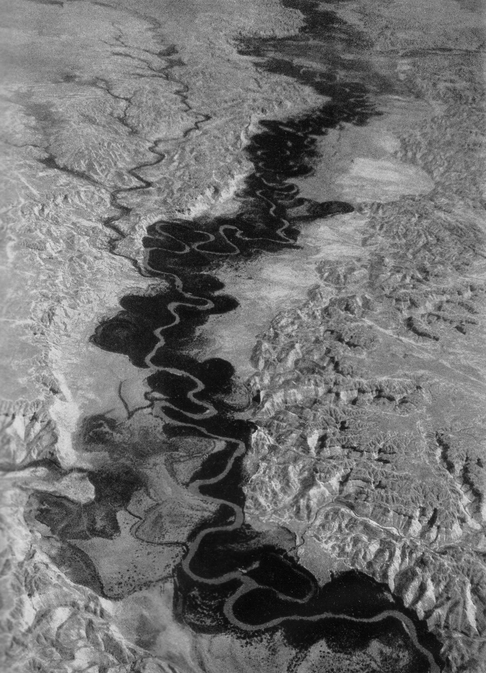
The Jordan River or River Jordan ( ar, نَهْر الْأُرْدُنّ, ''Nahr al-ʾUrdunn'', he, נְהַר הַיַּרְדֵּן, ''Nəhar hayYardēn''; syc, ܢܗܪܐ ܕܝܘܪܕܢܢ ''Nahrāʾ Yurdnan''), also known as ''Nahr Al-Sharieat'' ( ar, نهر الشريعة), is a river in the Middle East that flows roughly north to south through the Sea of Galilee (Hebrew: כנרת Kinneret, Arabic: Bohayrat Tabaraya, meaning Lake of Tiberias) and on to the Dead Sea. Jordan and the Golan Heights border the river to the east, while the West Bank and Israel lie to its west. Both Jordan and the West Bank take their names from the river. The river holds major significance in Judaism and Christianity. According to the Bible, the Israelites crossed it into the Promised Land and Jesus of Nazareth was baptized by John the Baptist in it. Geography The Jordan River has an upper course from its sources to the Sea of Galilee (via the Bethsaida Valley), and a lower course south of ... [...More Info...] [...Related Items...] OR: [Wikipedia] [Google] [Baidu] |
Stylite
A stylite ( grc, στυλίτης () 'pillar dweller', derived from () 'pillar' and syc, ܐܣܛܘܢܐ ()) or pillar-saint is a type of Christian ascetic who lives on pillars, preaching, fasting and praying. Stylites believe that the mortification of their bodies would help ensure the salvation of their souls. Stylites were common in the early days of the Byzantine Empire. The first known stylite was Simeon Stylites the Elder who climbed a pillar in Syria in 423 and remained there until his death 37 years later. Ascetic precedents Palladius of Galatia tells of Epidius, a hermit in Palestine who dwelt in a mountaintop cave for twenty-five years until his death. St. Gregory of Nazianzus speaks of a solitary who stood upright for many years together, absorbed in contemplation, without ever lying down. Theodoret claimed that he had seen a hermit who had passed ten years in a tub suspended in midair from poles. [...More Info...] [...Related Items...] OR: [Wikipedia] [Google] [Baidu] |
Madaba Governorate
Madaba (Arabic مادبا) is one of the governorates of Jordan. It is located southwest of Amman, the capital of Jordan, and its capital is Madaba. The governorate is ranked 8th (of 12 governorates) by population and by area. It is bordered by Balqa Governorate to the north, The Capital Governorate to the east, Karak Governorate to the south and the Dead Sea to the west. History Many civilizations existed on the soils of Madaba, most prominent are the Moabites, Nabateans, Romans, and the Arab Muslim empires. The city of Madaba is best known for its Byzantine and Umayyad mosaics, especially the Madaba Map, a large Byzantine-era mosaic map of Palestine and the Nile delta. Biblical and ancient history Many sites in Madaba Governorate are considered biblical sites, some of which are: * Mount Nebo: according to the Bible, is the site where Moses viewed the Promised Land. Mount Nebo, just west of Madaba city, formed part of the Madaba Diocese during Byzantine times. Here the mosai ... [...More Info...] [...Related Items...] OR: [Wikipedia] [Google] [Baidu] |
Umm Rasas House Ruins
Umm () means ''mother'' in Arabic. It is a common Arabic feminine given name and generic prefix for Semitic place names. It may refer to: Places Bahrain * Ain Umm Sujoor, an archaeological site * Umm an Nasan, an island *Umm as Sabaan, an islet Egypt *Umm Kulthum Museum, in Old Cairo * Umm Naggat mine * Umm El Qa'ab, a necropolis *Zawyet Umm El Rakham, an archaeological site Iraq * Umm al Binni lake * Umm Qasr, a port city **Umm Qasr Port Israel *Umm Batin, a village * Umm al-Fahm, a city *Shibli–Umm al-Ghanam, a town *Umm al-Hiran, a village *Umm al-Qutuf, a village Jordan * Umm al Birak, a town *Jabal Umm Fruth Bridge *Jabal Umm ad Dami, a mountain *Mount Umm Daraj * Umm el-Jimal, a village *Umm al Kundum, a town * Umm Qais, a town * Umm al Qanafidh, a town *Umm Shujayrah al Gharbiyah, a town * Umm Zuwaytinah, a town Kuwait * Umm al Maradim Island * Umm an Namil Island, Kuwait Bay, Persian Gulf Libya * Umm al Ahrar, an oasis * Qabr Umm al Hishah, an oasis * Umm al Rizam, ... [...More Info...] [...Related Items...] OR: [Wikipedia] [Google] [Baidu] |
Islamic Art
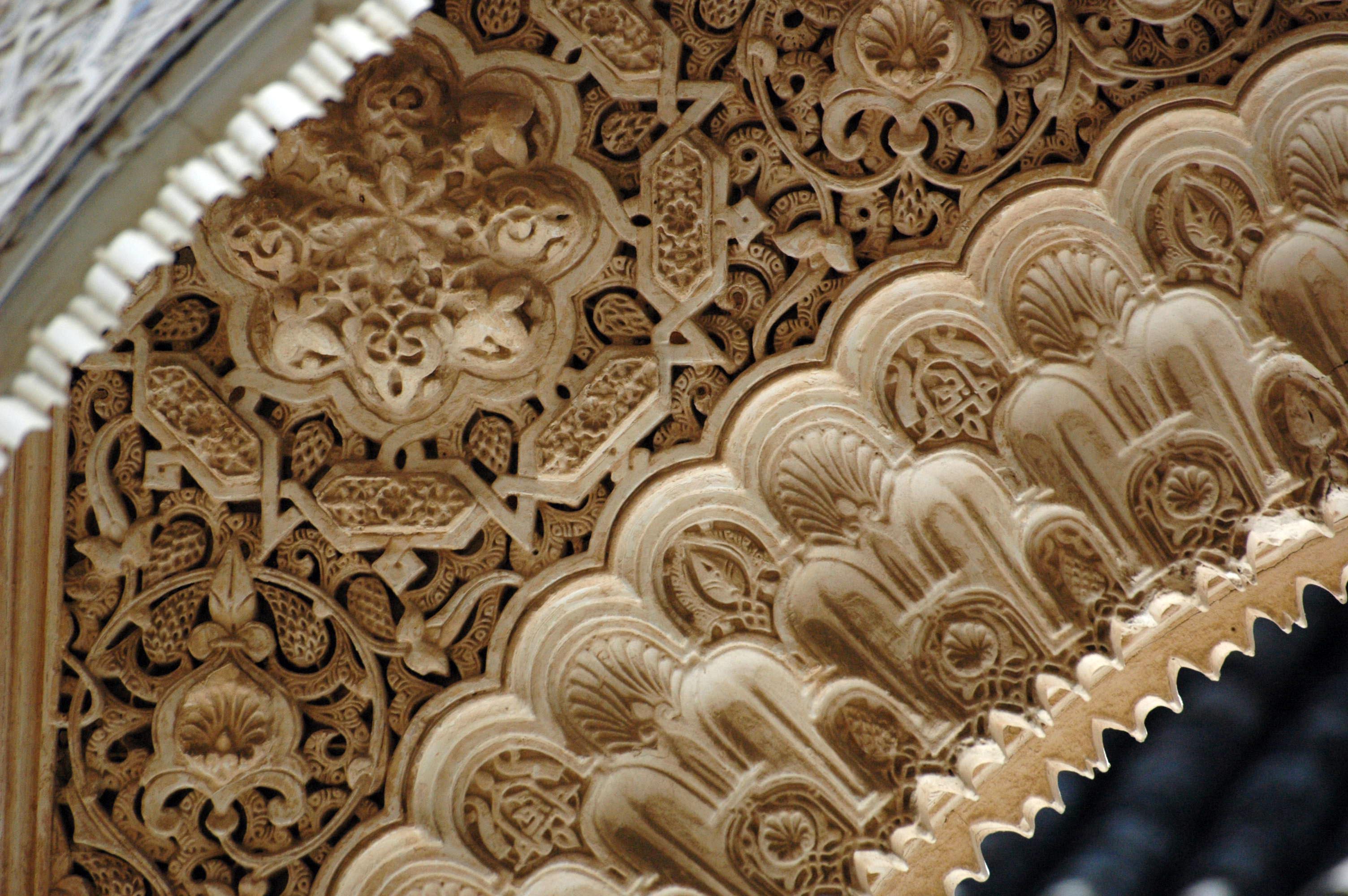
Islamic art is a part of Islamic culture and encompasses the visual arts produced since the 7th century CE by people who lived within territories inhabited or ruled by Muslim populations. Referring to characteristic traditions across a wide range of lands, periods, and genres, Islamic art is a concept used first by Western art historians since the late 19th century. Public Islamic art is traditionally non- representational, except for the widespread use of plant forms, usually in varieties of the spiralling arabesque. These are often combined with Islamic calligraphy, geometric patterns in styles that are typically found in a wide variety of media, from small objects in ceramic or metalwork to large decorative schemes in tiling on the outside and inside of large buildings, including mosques. Other forms of Islamic art include Islamic miniature painting, artefacts like Islamic glass or pottery, and textile arts, such as carpets and embroidery. The early developments of Isla ... [...More Info...] [...Related Items...] OR: [Wikipedia] [Google] [Baidu] |
Fresco
Fresco (plural ''frescos'' or ''frescoes'') is a technique of mural painting executed upon freshly laid ("wet") lime plaster. Water is used as the vehicle for the dry-powder pigment to merge with the plaster, and with the setting of the plaster, the painting becomes an integral part of the wall. The word ''fresco'' ( it, affresco) is derived from the Italian adjective ''fresco'' meaning "fresh", and may thus be contrasted with fresco-secco or secco mural painting techniques, which are applied to dried plaster, to supplement painting in fresco. The fresco technique has been employed since antiquity and is closely associated with Italian Renaissance painting. The word ''fresco'' is commonly and inaccurately used in English to refer to any wall painting regardless of the plaster technology or binding medium. This, in part, contributes to a misconception that the most geographically and temporally common wall painting technology was the painting into wet lime plaster. Even in appar ... [...More Info...] [...Related Items...] OR: [Wikipedia] [Google] [Baidu] |
Umayyad Caliphate
The Umayyad Caliphate (661–750 CE; , ; ar, ٱلْخِلَافَة ٱلْأُمَوِيَّة, al-Khilāfah al-ʾUmawīyah) was the second of the four major caliphates established after the death of Muhammad. The caliphate was ruled by the Umayyad dynasty ( ar, ٱلْأُمَوِيُّون, ''al-ʾUmawīyūn'', or , ''Banū ʾUmayyah'', "Sons of Umayyah"). Uthman ibn Affan (r. 644–656), the third of the Rashidun caliphs, was also a member of the clan. The family established dynastic, hereditary rule with Muawiya ibn Abi Sufyan, long-time governor of Greater Syria, who became the sixth caliph after the end of the First Fitna in 661. After Mu'awiyah's death in 680, conflicts over the succession resulted in the Second Fitna, and power eventually fell into the hands of Marwan I from another branch of the clan. Greater Syria remained the Umayyads' main power base thereafter, with Damascus serving as their capital. The Umayyads continued the Muslim conquests, incorpo ... [...More Info...] [...Related Items...] OR: [Wikipedia] [Google] [Baidu] |
Zarqa Governorate
Zarqa Governorate ( ar, محافظة الزرقاء ''Muħāfazat az-Zarqāʔ'', local dialects ''ez-Zergā'' or ''ez-Zer'a'') is the third largest governorate in Jordan by population. The capital of Zarqa governorate is Zarqa City, which is the largest city in the governorate. It is located east of the Jordanian capital Amman. The second largest city in the governorate is Russeifa. Zarqa Governorate hosts the largest military and air bases of the Jordanian armed forces. History The land of Zarqa Governorate has been inhabited since the Bronze Age, most prominent were the Ammonite kingdom and the Nabateans, who constructed the fort known as Qasr al Hallabat, which then was used as a fort by the Romans, and then as a desert palace by the Umayyads. The most significant historical remains are the Umayyad desert palaces, such as Qasr Amra, a World Heritage site, Qasr al Hallabat, Qasr Shabib in the center of the city of Zarqa, as well as the Castle of Azraq. After the construc ... [...More Info...] [...Related Items...] OR: [Wikipedia] [Google] [Baidu] |
Qusayr Amra
It is not known who the woman represents, but due to the apparent classical and late Roman style of depicting her, a number of mythological persons have been suggested. Qusayr 'Amra or Quseir Amra, ''lit.'' "small qasr of 'Amra", sometimes also named Qasr Amra ( / ALA-LC: ''Qaṣr ‘Amrah''), is the best-known of the desert castles located in present-day eastern Jordan. It was built some time between 723 and 743, by Walid Ibn Yazid, the future Umayyad caliph Walid II, whose dominance of the region was rising at the time. It is considered one of the most important examples of early Islamic art and architecture. The building is actually the remnant of a larger complex that included an actual castle, meant as a royal retreat, without any military function, of which only the foundation remains. What stands today is a small country cabin. It is most notable for the frescoes that remain mainly on the ceilings inside, which depict, among others, a group of rulers, hunting scenes, danc ... [...More Info...] [...Related Items...] OR: [Wikipedia] [Google] [Baidu] |
Nabataeans
The Nabataeans or Nabateans (; Nabataean Aramaic: , , vocalized as ; Arabic language, Arabic: , , singular , ; compare grc, Ναβαταῖος, translit=Nabataîos; la, Nabataeus) were an ancient Arab people who inhabited northern Arabian Peninsula, Arabia and the southern Levant. Their settlements—most prominently the assumed capital city of Petra, Raqmu (present-day Petra, Jordan)—gave the name ''Nabatene'' ( grc, Ναβατηνή, translit=Nabatēnḗ) to the Arabian borderland that stretched from the Euphrates to the Red Sea. The Nabateans emerged as a distinct civilization and political entity between the 4th and 2nd centuries BCE,Taylor, Jane (2001). ''Petra and the Lost Kingdom of the Nabataeans''. London: I.B.Tauris. pp. 14, 17, 30, 31. . Retrieved 8 July 2016. with Nabataean Kingdom, their kingdom centered around a loosely controlled trading network that brought considerable wealth and influence across the ancient world. Described as fiercely independent by cont ... [...More Info...] [...Related Items...] OR: [Wikipedia] [Google] [Baidu] |
Ma'an Governorate
Ma'an ( ar, معان) is one of the governorates of Jordan, it is located south of Amman, Jordan's capital. Its capital is the city of Ma'an. This governorate is the largest in the kingdom of Jordan by area. History The land of the Governorate of Ma'an hosts many historic sites. The land of Ma'an Governorate was under the Edomite rule, which had its capital in Busaira in neighboring Tafilah Governorate. The Edomites were then replaced by the Nabateans who built one of the most significant archaeological and historical sites in the Middle East, the ancient city of Petra. After succeeding in repulsing Macedonian and Roman invasions, Petra finally fell to the Roman Empire in 103 A.D. Near Petra is Jebel Harun or Jebel Nebi Harun (lit. 'Mountain of Prophet Aaron'), a strong candidate for biblical Mount Hor where Aaron, the brother of Moses, died and was buried. There is a mosque at the top of the mountain, built at the traditional site of Aaron's tomb. Evidence for human settleme ... [...More Info...] [...Related Items...] OR: [Wikipedia] [Google] [Baidu] |


.jpg)


