|
List Of Extreme Points Of China
This is a list of the extreme points of China, compared both globally and within the country. Global extreme points in China Altitude * The highest point on Earth measured from sea level is the summit of Mount Everest, Tibet Autonomous Region on the Sino-Nepal border. While measurements of its height vary slightly, the elevation of its peak is usually given as above sea level. * The lowest point in Central Asia is below sea level at Ayding Lake within the Turpan Depression, near the oasis city of Turpan Pendi, Xinjiang. Highest attainable by transportation The following are all located partially or completely in the Tibet Autonomous Region. *Road (mountain pass): Possibly Semo La , depending on definition of "attainable by transportation". There may be higher motorable passes in Tibet in areas affected by lack of information and restricted access. See Khardung La, for more information. *Train: Tanggula Mountain Pass, in the Tanggula Mountains, on the Qinghai–Tibet ... [...More Info...] [...Related Items...] OR: [Wikipedia] [Google] [Baidu] |
Mount Everest
Mount Everest (; Tibetan: ''Chomolungma'' ; ) is Earth's highest mountain above sea level, located in the Mahalangur Himal sub-range of the Himalayas. The China–Nepal border runs across its summit point. Its elevation (snow height) of was most recently established in 2020 by the Chinese and Nepali authorities. Mount Everest attracts many climbers, including highly experienced mountaineers. There are two main climbing routes, one approaching the summit from the southeast in Nepal (known as the "standard route") and the other from the north in Tibet. While not posing substantial technical climbing challenges on the standard route, Everest presents dangers such as altitude sickness, weather, and wind, as well as hazards from avalanches and the Khumbu Icefall. , over 300 people have died on Everest, many of whose bodies remain on the mountain. The first recorded efforts to reach Everest's summit were made by British mountaineers. As Nepal did not allow foreigners ... [...More Info...] [...Related Items...] OR: [Wikipedia] [Google] [Baidu] |
Orba Co
Orba Co, also Wo Erba or Wo Erbacuo (; ), is a lake in Rutog County in the Ngari Prefecture in the northwest of the Tibet Autonomous Region of China. It lies at an elevation of , to the southeast of Longmu Lake __NOTOC__ Longmu (; ), also Longmu Co or Longmucuo, is a glacial lake in Rutog County in the Ngari Prefecture in the northwest of the Tibet Autonomous Region of China China, officially the People's Republic of China (PRC), is a country in .... The lake has islands, which are the highest islands in the world. References Ngari Prefecture Lakes of Tibet {{Ngari-geo-stub ... [...More Info...] [...Related Items...] OR: [Wikipedia] [Google] [Baidu] |
Fuyuan County, Heilongjiang
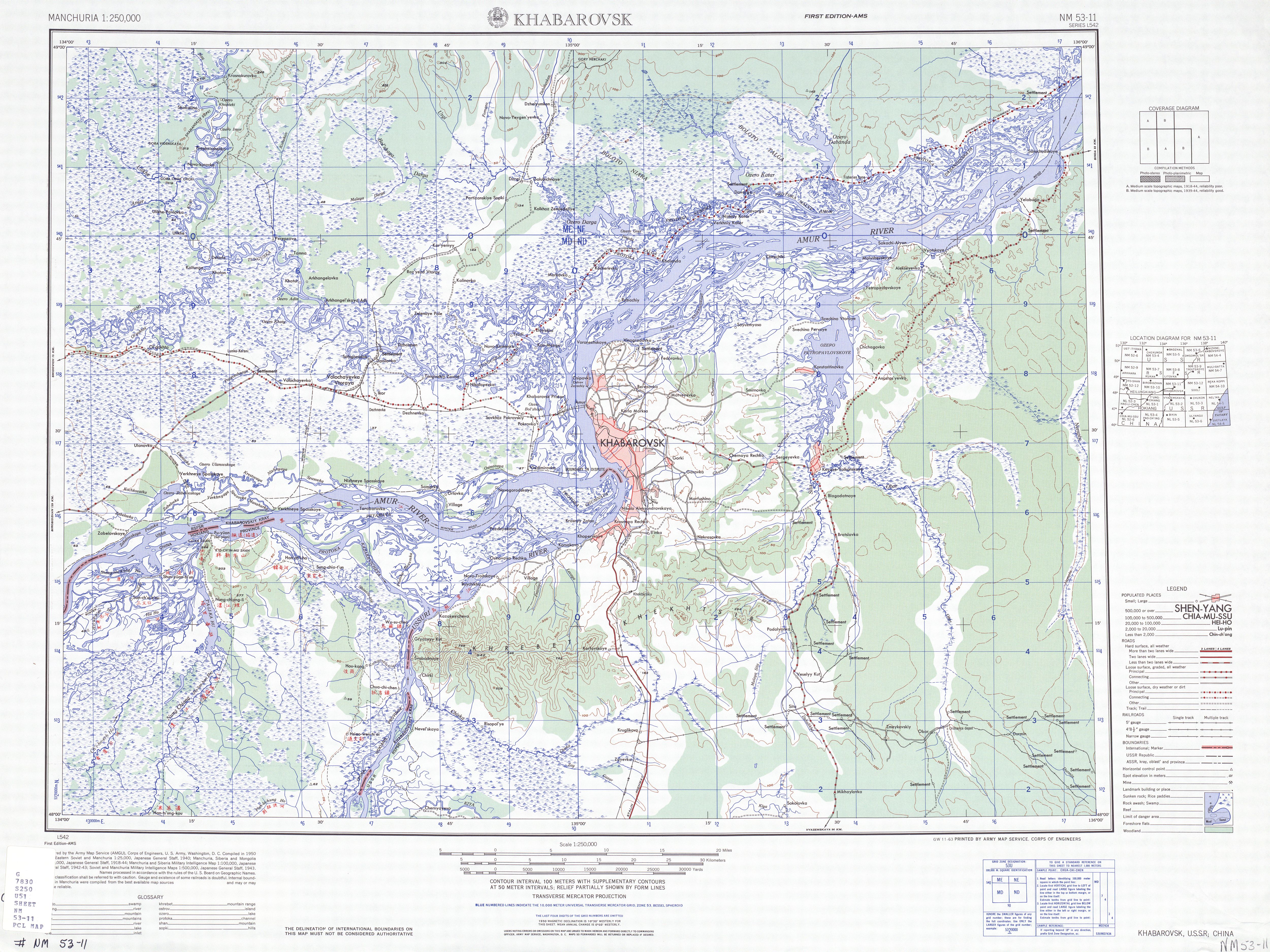
Fuyuan (; Russian: Фуюань) is a county-level city of the province of Heilongjiang, China. It is under the jurisdiction of the prefecture-level city of Jiamusi. Geography Fuyuan is located in the lowlands at the confluence of the Heilongjiang (Amur) River and Wusuli (Ussuri) Rivers. The city seat, Fuyuan Town, sits on the southern bank of the Amur. On the opposite side of the river is Russia's Jewish Autonomous Region. Fuyuan is China's easternmost county-level division. Its northern and eastern borders, running along the Heilongjiang (Amur) and Wusuli (Ussuri) Rivers, are also parts of China's international border with Russia. The Bolshoy Ussuriysky Island (Heixiazi Island), partitioned between the two countries by the treaty of 2004, is in the city's northeastern corner, the mid-island border line running about east of Fuyuan Town. Khabarovsk is about east of Fuyuan Town , by river.). The city is a major grain producer. Administrative divisions Fuyuan City is div ... [...More Info...] [...Related Items...] OR: [Wikipedia] [Google] [Baidu] |
China–Tajikistan Border
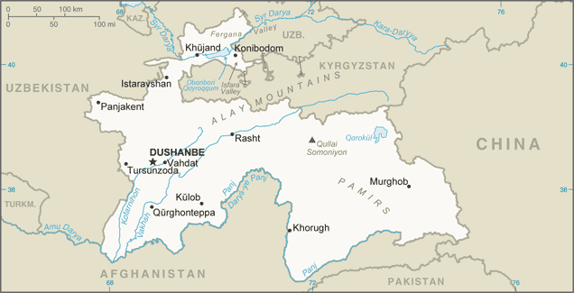
The China–Tajikistan border is in length and runs from the tripoint with Kyrgyzstan following a roughly north–south line across various mountain ridges and peaks of the Pamir range down to the tripoint with Afghanistan. The border divides Murghob District, Gorno-Badakhshan Autonomous Region in Tajikistan from Akto County, Kizilsu Kyrgyz Autonomous Prefecture (to the north) and Taxkorgan Tajik Autonomous County, Kashgar Prefecture (to the south) in Xinjiang Uygur Autonomous Region, China. History The origins of the border date from the mid-19th century, when the Russian empire expanded into Central Asia and established control over the Lake Zaysan region. The establishment of the border between the Russian Empire and the Qing Empire, not too different from today's Sino-Kazakh/Kyrgyz/Tajik border was provided for in the Convention of Peking of 1860; the actual border line pursuant to the convention was drawn by the Treaty of Tarbagatai (1864) and the Treaty of Uliassuhai ( ... [...More Info...] [...Related Items...] OR: [Wikipedia] [Google] [Baidu] |
Ulugqat
Ulugqat County (also known as Ulughchat County and Wuqia County; ) is a county in Xinjiang Uygur Autonomous Region, China. It is under the administration of the Kyrgyz autonomous prefecture of Kizilsu. The county has two towns, nine townships and one state-owned farm, eight communities and 34 villages under its jurisdiction in 2017, its county seat is Wuqia Town. It contains an area of and has a population of 56,633 (as of 2017) with main ethnic groups of Kyrgyz, Han and Uyghur peoples. Wuqia County is one of the two westernmost counties in China. It borders with Artux City to the east, Kashgar City to the south, Akto County to the southwest and the Kyrgyz Republic to the northwest. There are two national-level ports of Turugart () and Arkaxtam (), which are the link between Central and Western Asia and the bridgehead of opening up to the outside world. The county has harsh natural conditions, dry climate, earthquakes, floods, snow storms, sandstorms and other frequent natural d ... [...More Info...] [...Related Items...] OR: [Wikipedia] [Google] [Baidu] |
Akto County
Akto County (also known as Aqtu, Aktu, or Aketao; ) is a Counties of China, county in Kizilsu Kyrgyz Autonomous Prefecture, Xinjiang, Xinjiang Uygur Autonomous Region, China. The county borders Tajikistan and Kyrgyzstan and has two Towns of China, towns, 11 Townships of China, townships, four state-owned farms and a plant nursery under its jurisdiction with the county seat being Akto Town. The county contains an area of and has a population of 231,756 (as of 2017). Akto is the westernmost border county of China. A point north of the Markansu River () on the China–Tajikistan border is the List of extreme points of China, westernmost point of China. The county is located in the southwest of Xinjiang Uygur Autonomous Region, east of the Pamir Mountains, Pamir Plateau, and the western edge of the Tarim Basin. It is located between 73°26'5" - 76°43'31" east longitude and 37°41'28" - 39°29'55" north latitude. It is bordered by Wuqia County and Shufu County to the north, by Shule ... [...More Info...] [...Related Items...] OR: [Wikipedia] [Google] [Baidu] |
Guangdong
Guangdong (, ), alternatively romanized as Canton or Kwangtung, is a coastal province in South China on the north shore of the South China Sea. The capital of the province is Guangzhou. With a population of 126.01 million (as of 2020) across a total area of about , Guangdong is the most populous province of China and the 15th-largest by area as well as the second-most populous country subdivision in the world (after Uttar Pradesh in India). Its economy is larger than that of any other province in the nation and the fifth largest sub-national economy in the world with a GDP (nominal) of 1.95 trillion USD (12.4 trillion CNY) in 2021. The Pearl River Delta Economic Zone, a Chinese megalopolis, is a core for high technology, manufacturing and foreign trade. Located in this zone are two of the four top Chinese cities and the top two Chinese prefecture-level cities by GDP; Guangzhou, the capital of the province, and Shenzhen, the first special economic zone in the count ... [...More Info...] [...Related Items...] OR: [Wikipedia] [Google] [Baidu] |
Hai'an, Xuwen County
Hai'an () is a town in Xuwen County, Guangdong province, situated at the southern extremity of the Leizhou Peninsula as well as geographic mainland China, facing Haikou on Hainan Island, away, directly across the Qiongzhou Strait. It is also the southern terminus of China National Highway 207. , it has 2 residential communities () and 5 villages under its administration. See also *List of township-level divisions of Guangdong This is a list of township-level divisions of the province of Guangdong, People's Republic of China (PRC). After province, prefecture, and county-level divisions, township-level divisions constitute the formal fourth-level administrative div ... References {{reflist Township-level divisions of Guangdong Zhanjiang ... [...More Info...] [...Related Items...] OR: [Wikipedia] [Google] [Baidu] |
Heilongjiang
Heilongjiang () formerly romanized as Heilungkiang, is a province in northeast China. The standard one-character abbreviation for the province is (). It was formerly romanized as "Heilungkiang". It is the northernmost and easternmost province of the country and contains China's northernmost point (in Mohe City along the Amur) and easternmost point (at the junction of the Amur and Ussuri rivers). The province is bordered by Jilin to the south and Inner Mongolia to the west. It also shares a border with Russia (Amur Oblast, Jewish Autonomous Oblast, Khabarovsk Krai, Primorsky Krai and Zabaykalsky Krai) to the north and east. The capital and the largest city of the province is Harbin. Among Chinese provincial-level administrative divisions, Heilongjiang is the sixth-largest by total area, the 15th-most populous, and the second-poorest by GDP per capita. The province takes its name from the Amur River (see the etymology section below for details) which marks the border bet ... [...More Info...] [...Related Items...] OR: [Wikipedia] [Google] [Baidu] |
Mohe County
Mohe () is a county-level city in Daxing'anling Prefecture, Heilongjiang province. It is the northernmost city in China. Administrative divisions Mohe City is divided into 6 towns: Geography Mohe is located in the far northwest of Heilongjiang at latitude 52° 10'−53° 33' N and 121° 07'−124° 20' E. It forms a border with Russia's Amur Oblast and Zabaykalsky Krai, where the Amur River flows for . A village, the northernmost Chinese settlement, at the latitude of 53° 29' N known as the Beiji Village (, literally "North Pole Village" or "Northernmost Village") lies in this city, on the Amur River. On extremely rare occasions, the aurora borealis can be seen. Mohe spans from north to south and has a total area of , occupying 21.6% of the prefecture's (Daxing'anling) area and 3.9% of the provincial (Heilongjiang) area. This creates a population density of only 4.64 persons/km2 (12.0 persons/sqmi). Maps Climate Mohe, by virtue of its far northern location and pro ... [...More Info...] [...Related Items...] OR: [Wikipedia] [Google] [Baidu] |
Turfan Depression
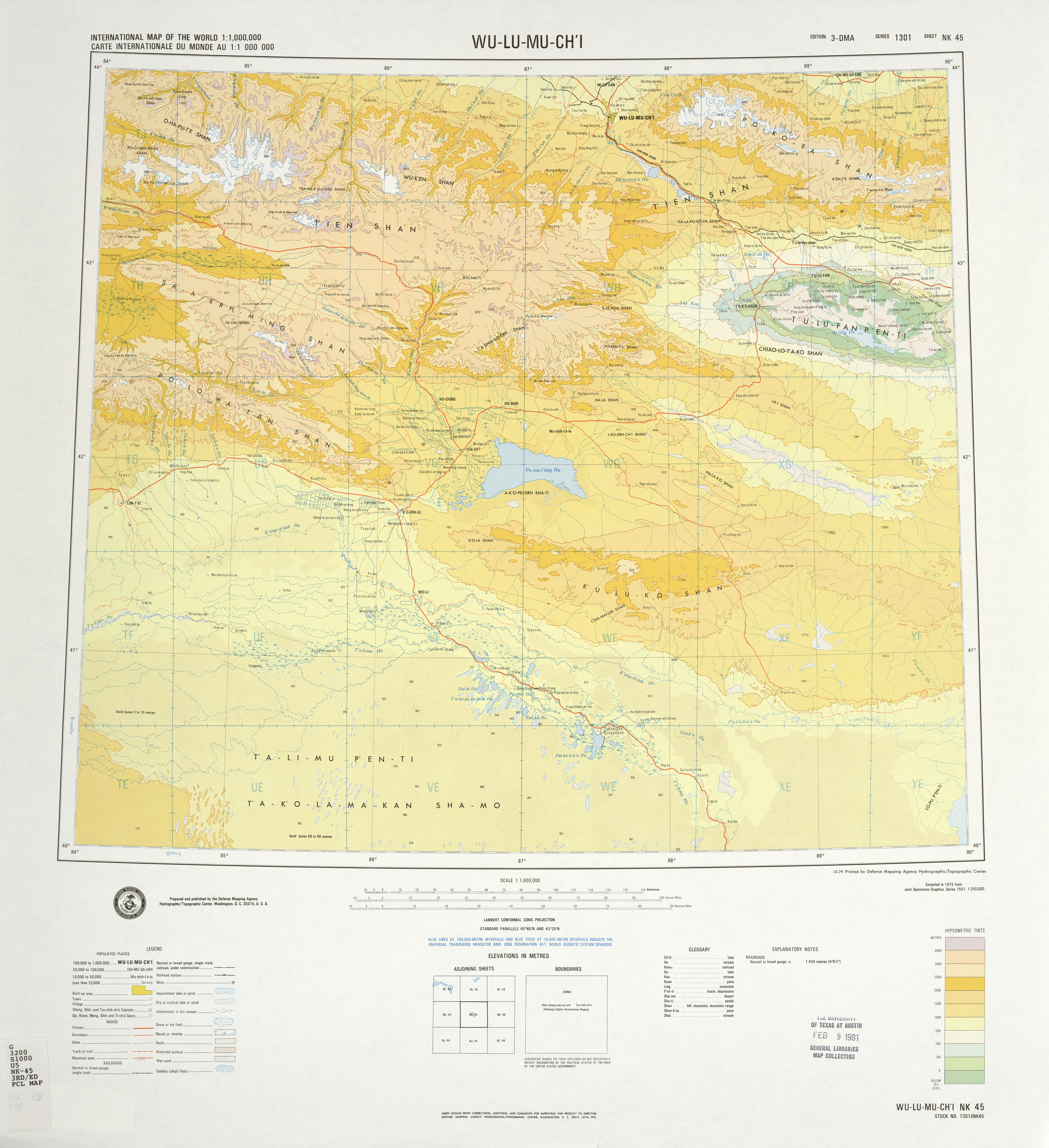
The Turpan Depression or Turfan Depression, is a fault (geology), fault-bounded trough located around and south of the city-oasis of Turpan, in the Xinjiang, Xinjiang Autonomous Region in far Western China, about southeast of the regional capital Ürümqi. It includes Lake Ayding, , the List of places on land with elevations below sea level, second or third lowest Depression (geology), depression on Earth. By some measures, it is also the hottest and driest area in China during the summer. Geology and relief The Turpan Basin is a fault-bounded trough located in the eastern part of the Tian Shan. It covers an area of . The surrounding mountain ranges are: the central Tian Shan in the west, the Bogda Shan in the north-west, the Haerlike Shan in the north-west, and the Jueluotage Shan in the south. Beyond the surrounding mountain ranges lie the Dzungaria, Junggar Basin in the north and the Tarim Basin in the south. Some geographers also use the term Turpan-Hami Basin, which is un ... [...More Info...] [...Related Items...] OR: [Wikipedia] [Google] [Baidu] |
.jpg)


