|
Linn (geology)
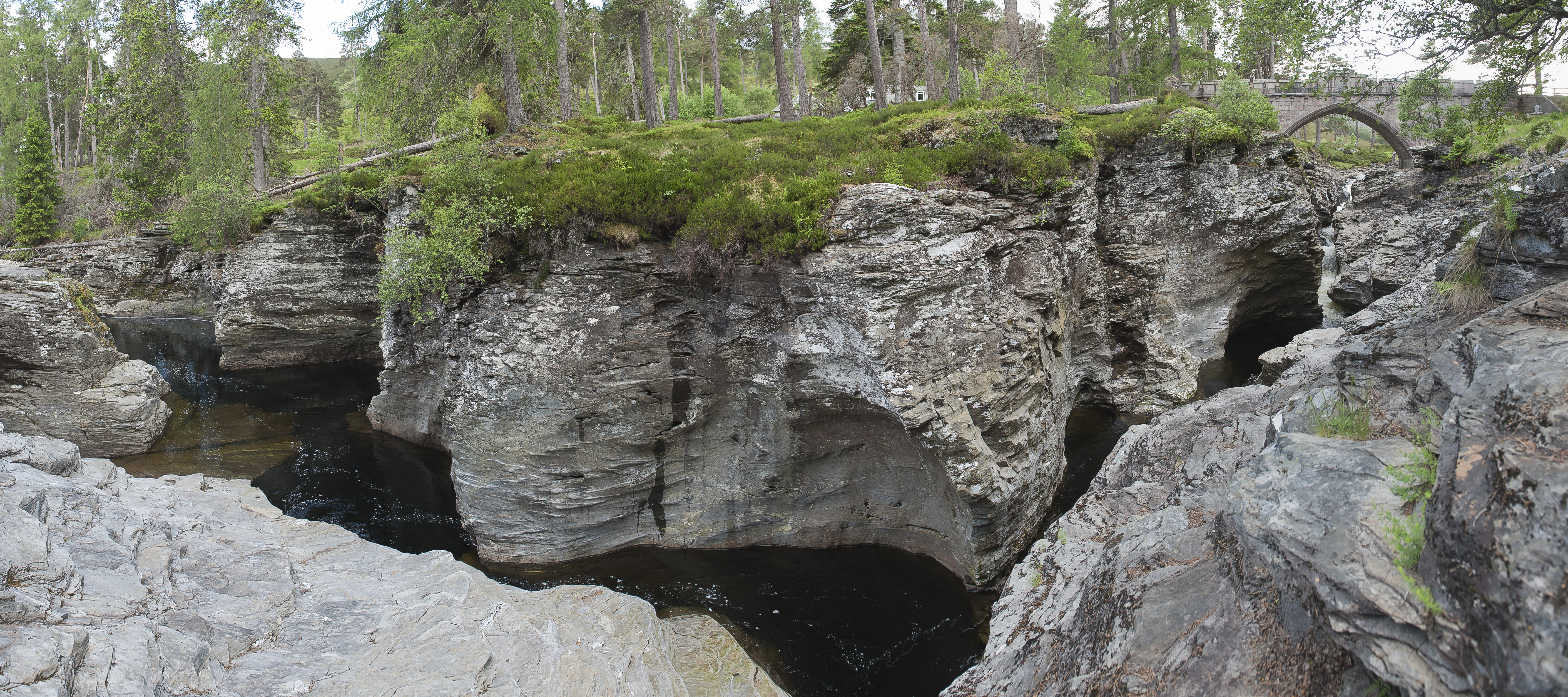
In Scotland and northern England, a Linn is a geographical water feature, a watercourse that has cut through a shelf of hard rock creating a narrow (usually), steep-sided crevice ( fracture) through which it runs. Typically one named after a river or area can have application even for more than one such feature. The photograph of the Linn of Dee illustrates the attributes of a typical 'Linn'. In ''Gordon (1925)'' the author describing a walk down ''Glen Avon'' in the Cairngorms mentions two ''Linns'' on the ''River Avon'' - first: Second: A linn may also refer to a waterfall or a pool at the foot of a waterfall, with the derivation a confusion of Scots Gaelic ''linne'' (pool) and Old English Old English (, ), or Anglo-Saxon, is the earliest recorded form of the English language, spoken in England and southern and eastern Scotland in the early Middle Ages. It was brought to Great Britain by Anglo-Saxon settlers in the mid-5th c ... (torrent). Sources * {{Cite book ... [...More Info...] [...Related Items...] OR: [Wikipedia] [Google] [Baidu] |
Scotland
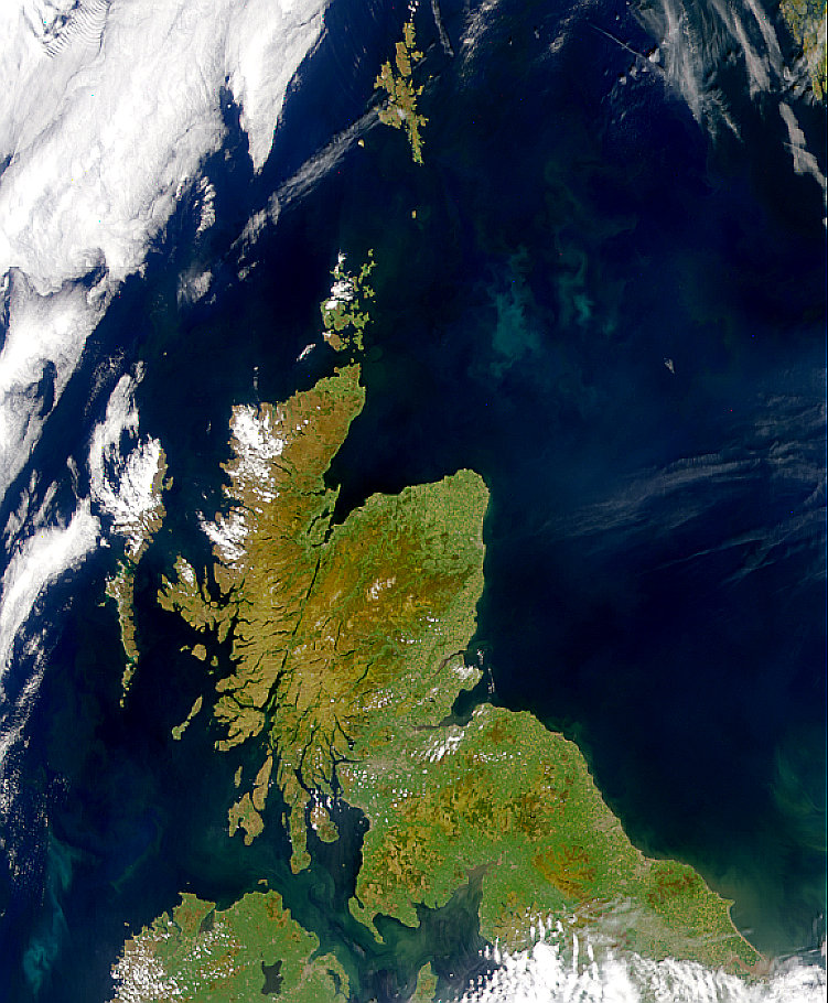
Scotland (, ) is a country that is part of the United Kingdom. Covering the northern third of the island of Great Britain, mainland Scotland has a border with England to the southeast and is otherwise surrounded by the Atlantic Ocean to the north and west, the North Sea to the northeast and east, and the Irish Sea to the south. It also contains more than 790 islands, principally in the archipelagos of the Hebrides and the Northern Isles. Most of the population, including the capital Edinburgh, is concentrated in the Central Belt—the plain between the Scottish Highlands and the Southern Uplands—in the Scottish Lowlands. Scotland is divided into 32 administrative subdivisions or local authorities, known as council areas. Glasgow City is the largest council area in terms of population, with Highland being the largest in terms of area. Limited self-governing power, covering matters such as education, social services and roads and transportation, is devolved from the Scott ... [...More Info...] [...Related Items...] OR: [Wikipedia] [Google] [Baidu] |
Fracture (geology)
A fracture is any separation in a geologic formation, such as a Joint (geology), joint or a Fault (geology), fault that divides the Rock (geology), rock into two or more pieces. A fracture will sometimes form a deep fissure or crevice in the rock. Fractures are commonly caused by Stress (physics), stress exceeding the rock strength, causing the rock to lose cohesion along its weakest plane. Fractures can provide Permeability (fluid), permeability for fluid movement, such as water or hydrocarbons. Highly fractured rocks can make good aquifers or Oil reservoir, hydrocarbon reservoirs, since they may possess both significant Permeability (fluid), permeability and fracture porosity. Brittle deformation Fractures are forms of brittle deformation. There are two types of primary brittle deformation processes. Tensile fracturing results in ''joints''. ''Shear fractures'' are the first initial breaks resulting from shear forces exceeding the cohesive strength in that plane. After those ... [...More Info...] [...Related Items...] OR: [Wikipedia] [Google] [Baidu] |
Linn Of Dee
The River Dee ( gd, Uisge Dhè) is a river in Aberdeenshire, Scotland. It rises in the Cairngorms and flows through southern Aberdeenshire to reach the North Sea at Aberdeen. The area it passes through is known as Deeside, or Royal Deeside in the region between Braemar and Banchory because Queen Victoria came for a visit there in 1848 and greatly enjoyed herself. She and her husband, Prince Albert, built Balmoral Castle there which replaced an older castle. Deeside is a popular area for tourists, due to the combination of scenic beauty and historic and royal associations. It is part of the Cairngorms National Park, and the Deeside and Lochnagar National Scenic Area. The Dee is popular with anglers and is one of the most famous salmon fishing rivers in the world. The New Statistical Account of Scotland attributed the name Dee as having been used as early as the second century AD in the work of the Alexandrian geographer Claudius Ptolemy, as ''Δηοῦα'' (=Deva), meanin ... [...More Info...] [...Related Items...] OR: [Wikipedia] [Google] [Baidu] |
Cairngorms
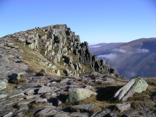
The Cairngorms ( gd, Am Monadh Ruadh) are a mountain range in the eastern Highlands of Scotland closely associated with the mountain Cairn Gorm. The Cairngorms became part of Scotland's second national park (the Cairngorms National Park) on 1 September 2003. Although the Cairngorms give their name to, and are at the heart of, the Cairngorms National Park, they only form one part of the national park, alongside other hill ranges such as the Angus Glens and the Monadhliath, and lower areas like Strathspey. The Cairngorms consists of high plateaux at about above sea level, above which domed summits (the eroded stumps of once much higher mountains ) rise to around . Many of the summits have tors, free-standing rock outcrops that stand on top of the boulder-strewn landscape. In places, the edges of the plateau form steep cliffs of granite and they are excellent for skiing, rock climbing and ice climbing. The Cairngorms form an arctic-alpine mountain environment, with tundra-like ... [...More Info...] [...Related Items...] OR: [Wikipedia] [Google] [Baidu] |
Scots Gaelic
Scottish Gaelic ( gd, Gàidhlig ), also known as Scots Gaelic and Gaelic, is a Goidelic language (in the Celtic branch of the Indo-European language family) native to the Gaels of Scotland. As a Goidelic language, Scottish Gaelic, as well as both Irish and Manx, developed out of Old Irish. It became a distinct spoken language sometime in the 13th century in the Middle Irish period, although a common literary language was shared by the Gaels of both Ireland and Scotland until well into the 17th century. Most of modern Scotland was once Gaelic-speaking, as evidenced especially by Gaelic-language place names. In the 2011 census of Scotland, 57,375 people (1.1% of the Scottish population aged over 3 years old) reported being able to speak Gaelic, 1,275 fewer than in 2001. The highest percentages of Gaelic speakers were in the Outer Hebrides. Nevertheless, there is a language revival, and the number of speakers of the language under age 20 did not decrease between the 2001 and 20 ... [...More Info...] [...Related Items...] OR: [Wikipedia] [Google] [Baidu] |
Old English
Old English (, ), or Anglo-Saxon, is the earliest recorded form of the English language, spoken in England and southern and eastern Scotland in the early Middle Ages. It was brought to Great Britain by Anglo-Saxon settlement of Britain, Anglo-Saxon settlers in the mid-5th century, and the first Old English literature, Old English literary works date from the mid-7th century. After the Norman conquest of 1066, English was replaced, for a time, by Anglo-Norman language, Anglo-Norman (a langues d'oïl, relative of French) as the language of the upper classes. This is regarded as marking the end of the Old English era, since during this period the English language was heavily influenced by Anglo-Norman, developing into a phase known now as Middle English in England and Early Scots in Scotland. Old English developed from a set of Anglo-Frisian languages, Anglo-Frisian or Ingvaeonic dialects originally spoken by Germanic peoples, Germanic tribes traditionally known as the Angles, Sa ... [...More Info...] [...Related Items...] OR: [Wikipedia] [Google] [Baidu] |
Fluvial Landforms
In geography and geology, fluvial processes are associated with rivers and streams and the deposits and landforms created by them. When the stream or rivers are associated with glaciers, ice sheets, or ice caps, the term glaciofluvial or fluvioglacial is used. Fluvial processes Fluvial processes include the motion of sediment and erosion or deposition on the river bed. The movement of water across the stream bed exerts a shear stress directly onto the bed. If the cohesive strength of the substrate is lower than the shear exerted, or the bed is composed of loose sediment which can be mobilized by such stresses, then the bed will be lowered purely by clearwater flow. In addition, if the river carries significant quantities of sediment, this material can act as tools to enhance wear of the bed ( abrasion). At the same time the fragments themselves are ground down, becoming smaller and more rounded (attrition). Sediment in rivers is transported as either bedload (the coarser frag ... [...More Info...] [...Related Items...] OR: [Wikipedia] [Google] [Baidu] |
Geography Of Scotland
The geography of Scotland is varied, from rural lowlands to unspoilt uplands, and from large cities to sparsely inhabited islands. Located in Northern Europe, Scotland comprises the northern third of the island of Great Britain as well as 790 surrounding islands encompassing the major archipelagos of the Shetland Islands, Orkney Islands and the Inner and Outer Hebrides. Scotland's only land border is with England, which runs for in a northeasterly direction from the Solway Firth in the west to the North Sea on the east coast. Separated by the North Channel, the island of Ireland lies from Mull of Kintyre on the Scottish mainland. Norway is located northeast of Scotland across the North Sea. The Atlantic Ocean, which fringes the coastline of western and northern Scotland and its islands, influences the temperate, maritime climate of the country. Scotland contains the majority of mountainous terrain in the UK. The topography of Scotland is distinguished by the Highland Bound ... [...More Info...] [...Related Items...] OR: [Wikipedia] [Google] [Baidu] |


