|
Lecharrownahone
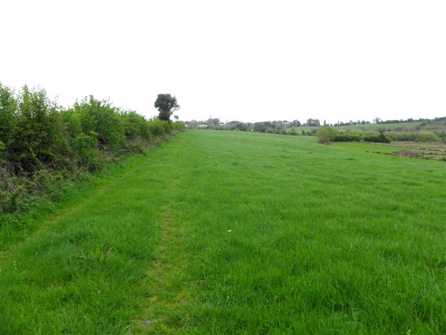
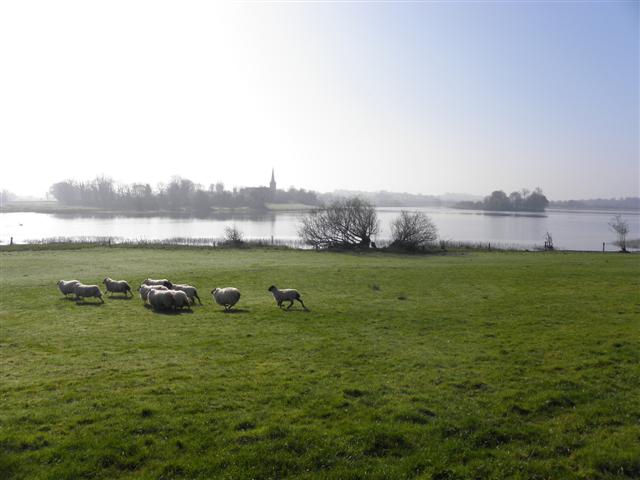
Lecharrownahone () is a townland in the civil parish of Templeport, County Cavan, Ireland. It lies in the Roman Catholic parish of Templeport and barony of Tullyhaw. Geography Lecharrownahone is bounded on the north by Carrowmore, County Cavan and Derryginny townlands in Tomregan parish and by Drumane townland, on the west by Killynaff and Crossmakelagher townlands, on the south by Cormeen townland in Kildallan parish and on the east by Agharaskilly townland in Tomregan parish. Its chief geographical features are the Shannon-Erne Waterway and the Crooked River (Ireland). Lecharrownahone is traversed by the regional R205 road, several rural lanes and the disused Cavan and Leitrim Railway. The townland covers 314 statute acres. History In medieval times the McGovern barony of Tullyhaw was divided into economic taxation areas called ballibetoes, from the Irish ''Baile Biataigh'' (Anglicized as 'Ballybetagh'), meaning 'A Provisioner's Town or Settlement'. The original purpose was ... [...More Info...] [...Related Items...] OR: [Wikipedia] [Google] [Baidu] |
Drumane
Drumane () is a townland in the civil parish of Templeport, County Cavan, Ireland. It lies in the Roman Catholic parish of Templeport and barony of Tullyhaw. Geography Drumane is bounded on the north by Mullanacre Lower townland in Tomregan parish, on the west by Bofealan townland, on the south by Killynaff and Lecharrownahone townlands and on the east by Carrowmore, County Cavan townland in Tomregan parish. Its main geographical features are the Crooked River (Ireland), a small wood and a gravel pit. Dromane is traversed by a minor road and rural lanes. The townland covers 147 statute acres. History The 1609 Baronial Map depicts the townland as ''Drommeane''. The 1652 Commonwealth Survey spells the name as ''Dromeane''. The 1665 Down Survey map depicts it as ''Dromane''. William Petty's 1685 map depicts it as ''Dromean''. In the Plantation of Ulster by grant dated 4 June 1611, King James VI and I granted, along with other lands, one poll of ''Dromeane to Donill Backagh McS ... [...More Info...] [...Related Items...] OR: [Wikipedia] [Google] [Baidu] |
Cormeen
Cormeen () is a townland in the civil parish of Kildallan, County Cavan, Ireland. It forms part of the barony of Tullyhunco. Geography Cormeen is bounded by the following townlands, on the north by Lecharrownahone, on the east by Agharaskilly, on the south by Killarah and on the west by Crossmakelagher. One would expect Cormeen to belong to both Templeport parish and Tullyhaw barony, as do the other surrounding townlands which lie on the west bank of the Shannon-Erne Waterway. However, in medieval times when the parish and barony boundaries were fixed, the river was at a much higher level than today and it ran north through the valley between the two hills in the townland until it reached the present day R205 road (Ireland). It then diverted back around the eastern hill in a southerly direction towards the present day course. Traces of the old river bed can be seen in the low-lying boggy ground along the road. Cormeen in medieval times was divided into two separate townlands. T ... [...More Info...] [...Related Items...] OR: [Wikipedia] [Google] [Baidu] |
Templeport
Templeport () is a civil parish in the barony of Tullyhaw, County Cavan, Ireland. The chief towns in the parish are Bawnboy and Ballymagauran. The large Roman Catholic parish of Templeport containing 42,172 statute acres was split up in the 18th & 19th centuries into three new parishes, Templeport, Corlough and Glangevlin. Etymology The name of Templeport parish derives from the old townland of Templeport (which is now shortened to Port) which is the anglicisation of the Gaelic 'Teampall An Phoirt' ("The Church of the Port or Bank or Landing-Place"). The church referred to is the old church on St. Mogue's Island in the middle of Port Lake. This church fell into disuse in medieval times and a new church was built on the opposite shore of the lake. It was forfeited to Queen Elizabeth in 1590 and started use as a Protestant church in about 1610. It is very unlikely that the island church ever served as the parish church because there was only one boat available and it would have ... [...More Info...] [...Related Items...] OR: [Wikipedia] [Google] [Baidu] |
Carrowmore, County Cavan
Carrowmore, County Cavan is a townland in the Parish of Tomregan, Barony of Tullyhaw, County Cavan, Ireland. Etymology The townland name is an anglicisation of the Gaelic placename ''Ceathrú Mhór'' which means 'The Great Quarter'. It derives its name from the large size of the townland which in medieval times comprised a quarter of the ballybethagh of Calvagh, as it originally consisted of the present-day townlands of Carrowmore, Mullanacre Lower, Mullanacre Upper and Moher, a total of 2,066 statute acres. The oldest surviving mention of the name is on the 1609 Ulster Plantation Baronial map of Tullyhaw, where it is spelled ''Arrowmore''. A 1610 grant spells the name as ''Kearowmore''. A 1612 pardon spells it as ''Cearowmore''. A 1630 Inquisition spells it as ''Carraghmore''. The 1652 Commonwealth Survey spells the name as ''Karowmoreoghtragh''. The 1659 Down Survey map spells it as ''Carrowmore''. The 1663 Hearth Money Rolls spell it as ''Caramore'' and ''Upper Caramont''. ... [...More Info...] [...Related Items...] OR: [Wikipedia] [Google] [Baidu] |
Derryginny
Derryginny is a townland in the Parish of Tomregan, Barony of Tullyhaw, County Cavan, Ireland. Etymology The townland name is an anglicisation of the Gaelic placename "Doire Goinimhe" which means the 'Oakwood of the Sand', which possibly derives either from the sandbanks which form along the rivers running through it or from the large quarry on its northwest boundary. The 1609 Ulster Plantation Baronial map spells the name as ''Dirrigonie''. A 1610 grant spells it as ''Dirregenny''. The Irish State Papers for 1610 spell it as ''Diroginy''. A 1630 Inquisition spells it as ''Derrogeny''.The 1652 Commonwealth Survey spells it as ''Direganny''. The 1659 Down Survey map spells it as ''Derygenny''. The 1663 Hearth Money Rolls spell it as ''Dirigny''. A 1666 grant spells it ''Derrogenny alias Derrygenny''. William Petty's 1685 map spells it as ''Deregeny''. The 1790 Cavan Carvaghs list spells the name as ''Dirreginny''. Geography It is bounded on the north by Doon, Tomregan and Gor ... [...More Info...] [...Related Items...] OR: [Wikipedia] [Google] [Baidu] |
Agharaskilly
Agharaskilly () is a townland in the civil parish of Tomregan, County Cavan, Ireland. It lies within the former barony of Loughtee Lower. Etymology The derivation of Agharaskilly is uncertain but the likeliest explanation is that it is an Anglicization of the Irish placename ''Achadh Ros Cille'' meaning the ''Field of the Church's Wood'', as the land belonged to Tomregan Church and was wooded. It has also been suggested that it may come from an anglicisation of the Irish placename ''Achadh Chroise Coille'' meaning "The Field of the Cross of the Wood" or ''Achadh Ros Choille'' which means "Field of the Grove of Trees". Alternative meanings which have been suggested are "Cattlefield of the Cross of the Church", "Field of the Boar's Wood", "Field of the Crossroads in the Wood" and "Field of the Fighting-Cocks". The local pronunciation is ''Awr-sa-cullia''. The earliest surviving mention of the townland is in a grant dated 10 August 1607 from King James I to Sir Garret Moore, 1st ... [...More Info...] [...Related Items...] OR: [Wikipedia] [Google] [Baidu] |
Killynaff
Killynaff () is a townland in the civil parish of Templeport, County Cavan, Ireland. It lies in the Roman Catholic parish of Templeport and barony of Tullyhaw. Geography Killynaff is bounded on the north by Urhannagh, Bofealan and Drumane townlands, on the west by Cavanaquill and Crossmakelagher townlands and on the southeast by Lecharrownahone townland. Its chief geographical features are cow pastures. Killynaff is traversed by a minor road and rural lanes. The townland covers 133 statute acres. History In medieval times the McGovern barony of Tullyhaw was divided into economic taxation areas called ballibetoes, from the Irish ''Baile Biataigh'' (Anglicized as 'Ballybetagh'), meaning 'A Provisioner's Town or Settlement'. The original purpose was to enable the farmer, who controlled the baile, to provide hospitality for those who needed it, such as poor people and travellers. The ballybetagh was further divided into townlands farmed by individual families who paid a tribute o ... [...More Info...] [...Related Items...] OR: [Wikipedia] [Google] [Baidu] |
Crossmakelagher
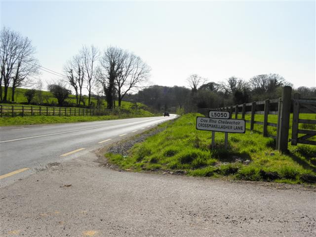
Crossmakelagher, also written Crossmakellagher or Crossmakellegher () is a townland in the civil parish of Templeport, County Cavan, Ireland. It lies in the Roman Catholic parish of Templeport and barony of Tullyhaw. The local people abbreviate it as 'Cross'. Geography Crossmakelagher is bounded on the north by Cavanaquill and Killynaff townlands, on the west by Tonyhallagh and Tonyrevan townlands, on the south by Bellaheady and Killarah townlands in Kildallan parish and on the east by Cormeen townland in Kildallan parish and Lecharrownahone townland. Its chief geographical features are the Shannon-Erne Waterway, a small plantation, a pond, a quarry, a spring well and several dug wells. Crossmakelagher is traversed by the regional R205 road, minor roads and rural lanes and the disused Cavan and Leitrim Railway. The townland covers 197 statute acres. History In medieval times the McGovern barony of Tullyhaw was divided into economic taxation areas called ballibetoes, from the ... [...More Info...] [...Related Items...] OR: [Wikipedia] [Google] [Baidu] |
Ballyconnell
Ballyconnell () is a town in County Cavan, Ireland. It is situated on the N87 national secondary road at the junction of four townlands: Annagh, Cullyleenan, Doon (Tomregan) and Derryginny in the parish of Tomregan, Barony of Tullyhaw. Ballyconnell won the Irish Tidy Towns Competition in 1971 and was also the winner in 1975. According to the 2016 Census, the population of the town was then 1,105 persons, an increase of 4% on the previous 2011 census. Name The earliest surviving mention of the name Ballyconnell is an entry in the ''Annals of the Four Masters'' for the year 1323 A.D., which states "''Rory Mac Mahon, son of the Lord of Oriel, Melaghlin O'Seagannain, and Mac Muldoon, were slain by Cathal O'Rourke at Bel-atha-Chonaill''". Before being named Ballyconnell it was named ''Maigen'' which means 'The Little Plain' with the local ford called which means 'Ford of the Miners'. It was also named Gwyllymsbrook between 1660 and 1702 by its then owner, Thomas Gwyllym. Ballyc ... [...More Info...] [...Related Items...] OR: [Wikipedia] [Google] [Baidu] |
Charles II Of England
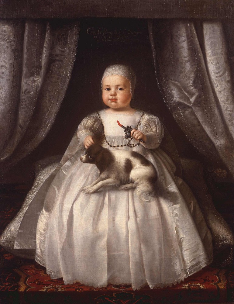
Charles II (29 May 1630 – 6 February 1685) was King of Scotland from 1649 until 1651, and King of England, Scotland and Ireland from the 1660 Restoration of the monarchy until his death in 1685. Charles II was the eldest surviving child of Charles I of England, Scotland and Ireland and Henrietta Maria of France. After Charles I's execution at Whitehall on 30 January 1649, at the climax of the English Civil War, the Parliament of Scotland proclaimed Charles II king on 5 February 1649. But England entered the period known as the English Interregnum or the English Commonwealth, and the country was a de facto republic led by Oliver Cromwell. Cromwell defeated Charles II at the Battle of Worcester on 3 September 1651, and Charles fled to mainland Europe. Cromwell became virtual dictator of England, Scotland and Ireland. Charles spent the next nine years in exile in France, the Dutch Republic and the Spanish Netherlands. The political crisis that followed Cromwell's death in 1 ... [...More Info...] [...Related Items...] OR: [Wikipedia] [Google] [Baidu] |
Alexander Montgomery (1686–1729)
Colonel Alexander Montgomery (1686 – 19 December 1729) was an Irish soldier and politician. Montgomery, of the Scots Greys cavalry, lived in Convoy House, Convoy, County Donegal, Ireland. He was born into an Ulster Scots gentry family in 1686, the second son of Major John Montgomery and his first wife Catherine, the daughter of the Reverend James Auchinleck. The Montgomerys of Convoy were part of the County Donegal branch of the Clan Montgomery. He was elected Member of Parliament (MP) for Donegal Borough in 1725 until the General Election in 1727 and was then returned for County Donegal in 1727 until his death on 19 December 1729, at the age of 43. He was buried at the Church of St. Nicholas Within the Walls, Nicholas Street, Dublin on 22 December 1729. He married Elizabeth Percy, a daughter of Colonel Henry Percy (or Piercy) of Seskin, County Wicklow. His wife predeceased him in December 1724 and was also interred at St.Nicholas on 5 January 1725. He inherited lands at Crogh ... [...More Info...] [...Related Items...] OR: [Wikipedia] [Google] [Baidu] |
County Donegal
County Donegal ( ; ga, Contae Dhún na nGall) is a county of Ireland in the province of Ulster and in the Northern and Western Region. It is named after the town of Donegal in the south of the county. It has also been known as County Tyrconnell (), after the historic territory of the same name, on which it was based. Donegal County Council is the local council and Lifford the county town. The population was 166,321 at the 2022 census. Name County Donegal is named after the town of Donegal () in the south of the county. It has also been known by the alternative name County Tyrconnell, Tirconnell or Tirconaill (, meaning 'Land of Conall'). The latter was its official name between 1922 and 1927. This is in reference to the kingdom of Tír Chonaill and the earldom that succeeded it, which the county was based on. History County Donegal was the home of the once-mighty Clann Dálaigh, whose best-known branch was the Clann Ó Domhnaill, better known in English as the O'Don ... [...More Info...] [...Related Items...] OR: [Wikipedia] [Google] [Baidu] |


