|
Kingston Brook
Kingston Brook is a small river in central England. It arises near Old Dalby, Leicestershire on the northern edge of the ridge running from Normanton-on-Soar, Nottinghamshire to Belvoir, Leicestershire. It runs through Willoughby on the Wolds, to the south of Wysall (where it picks up a number of minor tributaries), Costock, East Leake (where it is joined by Sheepwash Brook), West Leake and meets the River Soar near Kingston-on-Soar Kingston on Soar is a village and civil parish in the Rushcliffe borough of Nottinghamshire, England. Description Setting Kingston on Soar predominantly lies within the Trent Washlands character area, and partially in the Nottinghamshire .... References Rivers of Leicestershire Rivers of Nottinghamshire 1Kingston {{England-river-stub ... [...More Info...] [...Related Items...] OR: [Wikipedia] [Google] [Baidu] |
England
England is a country that is part of the United Kingdom. It shares land borders with Wales to its west and Scotland to its north. The Irish Sea lies northwest and the Celtic Sea to the southwest. It is separated from continental Europe by the North Sea to the east and the English Channel to the south. The country covers five-eighths of the island of Great Britain, which lies in the North Atlantic, and includes over 100 smaller islands, such as the Isles of Scilly and the Isle of Wight. The area now called England was first inhabited by modern humans during the Upper Paleolithic period, but takes its name from the Angles, a Germanic tribe deriving its name from the Anglia peninsula, who settled during the 5th and 6th centuries. England became a unified state in the 10th century and has had a significant cultural and legal impact on the wider world since the Age of Discovery, which began during the 15th century. The English language, the Anglican Church, and Engli ... [...More Info...] [...Related Items...] OR: [Wikipedia] [Google] [Baidu] |
Old Dalby
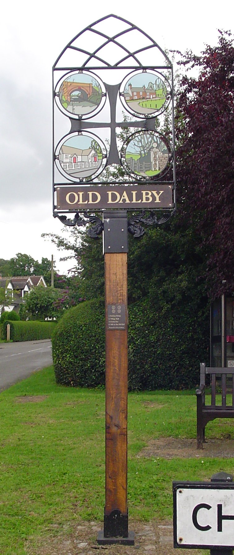
Old Dalby is a village and former civil parish, now in the parish of Broughton and Old Dalby, in the Borough of Melton, Melton district, in the county of Leicestershire, England. It is located to the north-west of Melton Mowbray. It was originally known as "Wold Dalby" or "Dalby on the Wolds". In 1931 the parish had a population of 315. On 1 April 1936 the parish was abolished to form "Broughton and Old Dalby". Village Old Dalby is a rural village with an active community. It has its own primary and pre-schools, Church, Scout, Cubs and Beaver Building at Queensway, and a retirement home, Hunter's Lodge. There is a pub/restaurant, the ancient refurbished 'The Crown'. There has been no post office for several years but there is a "pop-up" post office service. Details are available on the Old Dalby Village Halwebsite For around 33 years, on the August bank holiday Monday, the village held a fête known as "Old Dalby Day" to raise money for charities connected with the villa ... [...More Info...] [...Related Items...] OR: [Wikipedia] [Google] [Baidu] |
River Soar
The River Soar () is a major tributary of the River Trent in the English East Midlands and is the principal river of Leicestershire. The source of the river is midway between Hinckley and Lutterworth. The river then flows north through Leicester, where it is joined by the Grand Union Canal. Continuing on through the Leicestershire Soar Valley, it passes Loughborough and Kegworth until it reaches the Trent at the county boundary. In the 18th century, the Soar was made navigable, initially between Loughborough and the Trent, and then through to Leicester. It was not until the early 19th century that it was linked by the Grand Union Canal to the wider network to the south and to London. Name The name of the ''Soar'' is included in a family of old river-names derived from a root ''*ser-'' "to flow", alongside (among others) ''Saravus'' (''Soar'', a tributary of the Moselle in Belgium), ''Sera'' (''la Serre'', ''la Cère'' and ''le Séran'', three rivers in France), ''Serantia'' ( ... [...More Info...] [...Related Items...] OR: [Wikipedia] [Google] [Baidu] |
Leicestershire
Leicestershire ( ; postal abbreviation Leics.) is a ceremonial and non-metropolitan county in the East Midlands, England. The county borders Nottinghamshire to the north, Lincolnshire to the north-east, Rutland to the east, Northamptonshire to the south-east, Warwickshire to the south-west, Staffordshire to the west, and Derbyshire to the north-west. The border with most of Warwickshire is Watling Street, the modern A5 road (Great Britain), A5 road. Leicestershire takes its name from the city of Leicester located at its centre and unitary authority, administered separately from the rest of the county. The ceremonial county – the non-metropolitan county plus the city of Leicester – has a total population of just over 1 million (2016 estimate), more than half of which lives in the Leicester Urban Area. History Leicestershire was recorded in the Domesday Book in four wapentakes: Guthlaxton, Framland, Goscote, and Gartree (hundred), Gartree. These later became hundred ... [...More Info...] [...Related Items...] OR: [Wikipedia] [Google] [Baidu] |
Normanton-on-Soar
Normanton on Soar (), formerly known as Normanton-upon-Soar and known locally as Normanton, is a village and civil parish in the south of Nottinghamshire in England near the River Soar. This historic village is home to one of the last operating chain ferries in the country, the only lived in cruck building in Nottinghamshire and a 13th-century Grade I listed parish Church. Description Setting The ancient parish of Normanton on Soar occupies 1,449 acres about 13 miles south-west of Nottingham. Nearby villages include Zouch, Sutton Bonington, and Stanford on Soar. The post town for Normanton is Loughborough leading to the confusion of being in Nottinghamshire but with a Leicestershire post code. Normanton on Soar is situated in the Soar Valley (previously also known as the 'vale of the Soar'). The Parish is mostly made up of farmland, and contains seven farms. The village is situated along the River Soar and extends uphill north-eastwards towards East Leake. White's Directory ... [...More Info...] [...Related Items...] OR: [Wikipedia] [Google] [Baidu] |
Nottinghamshire
Nottinghamshire (; abbreviated Notts.) is a landlocked county in the East Midlands region of England, bordering South Yorkshire to the north-west, Lincolnshire to the east, Leicestershire to the south, and Derbyshire to the west. The traditional county town is Nottingham, though the county council is based at County Hall in West Bridgford in the borough of Rushcliffe, at a site facing Nottingham over the River Trent. The districts of Nottinghamshire are Ashfield, Bassetlaw, Broxtowe, Gedling, Mansfield, Newark and Sherwood, and Rushcliffe. The City of Nottingham was administratively part of Nottinghamshire between 1974 and 1998, but is now a unitary authority, remaining part of Nottinghamshire for ceremonial purposes. The county saw a minor change in its coverage as Finningley was moved from the county into South Yorkshire and is part of the City of Doncaster. This is also where the now-closed Doncaster Sheffield Airport is located (formerly Robin Hood Airport). In 20 ... [...More Info...] [...Related Items...] OR: [Wikipedia] [Google] [Baidu] |
Belvoir, Leicestershire
Belvoir ( ) is a village and civil parish in the Melton (borough), Melton district of Leicestershire, England, close to the county boundary with Lincolnshire. The nearest town is Grantham, 13 kilometres (8 mi) east of the village. The village's name derives from ''bel-vedeir'' meaning 'the beautiful view'. The parish includes the villages of Belvoir, Knipton and Harston, Leicestershire, Harston. Nearby places outside the parish are Woolsthorpe by Belvoir, Redmile, and Croxton Kerrial. The village is the site of Belvoir Castle, which "stands on a prominent spur jutting northwards" into the Vale of Belvoir. Iron ore was formerly quarried in the parish and details can be found in the articles on Knipton and Harston. The quarries were near Harston, to the south of Knipton and between Belvoir and Knipton. References Villages in Leicestershire Civil parishes in Leicestershire Borough of Melton {{Leicestershire-geo-stub ... [...More Info...] [...Related Items...] OR: [Wikipedia] [Google] [Baidu] |
Willoughby On The Wolds
Willoughby on the Wolds is a small village in Nottinghamshire, England, on the border with Leicestershire. Its nearest neighbouring villages are Wysall, Widmerpool, Wymeswold and Keyworth, with the nearest towns and cities being Loughborough, Melton Mowbray, Nottingham and Leicester Leicester ( ) is a city status in the United Kingdom, city, Unitary authorities of England, unitary authority and the county town of Leicestershire in the East Midlands of England. It is the largest settlement in the East Midlands. The city l .... According to the 2001 census it had a population of 484, increasing to 572 at the 2011 census. The village has its own Parish Council and comes within the jurisdiction of the Nottinghamshire County Council. The area postcode for the village, however, is in Leicestershire (LE12). The village is the approximate location of the minor civil war battle of Willoughby Field which took place in July 1648. It is also closely linked with the Roman encampmen ... [...More Info...] [...Related Items...] OR: [Wikipedia] [Google] [Baidu] |
Wysall
Wysall is a village and civil parish in Nottinghamshire, England. It is south of Nottingham. According to the 2001 census it had a population of 321, including Thorpe-on-the-Glebe and increasing to 431 at the 2011 census. Holy Trinity Church, Wysall is Norman, with a thirteenth-century tower with spire and a fourteenth-century chancel. The wooden ladder into the bell-chamber of the tower is also thirteenth century. Wysall is linked with the neighbouring village of Thorpe in the Glebe, and the two villages are run by Wysall and Thorpe in the Glebe Parish Council. Every summer, Wysall hosts the annual Strawberry Fair at the village hall. The village is neighboured by the large village of Keyworth to the north, Widmerpool to the east, Willoughby on the Wolds to the south east, Wymeswold to the south and Costock to the south west. Wysall is one of the Thankful Villages – those rare places that suffered no fatalities during the Great War of 1914 to 1918. Early recorded hi ... [...More Info...] [...Related Items...] OR: [Wikipedia] [Google] [Baidu] |
Costock
Costock is a village and civil parish in the Rushcliffe district of Nottinghamshire, England. The population of the civil parish at the 2011 Census was 621. It was estimated at 664 in 1998. Although in Nottinghamshire, Costock's closest town is Loughborough in Leicestershire. Amenities Costock has a Church of England primary school. St Giles's Church, built in 1350, stands back from the main street of the village. The Anglican Community of the Holy Cross has had a small convent at Highfields, Cotham, since 2011. Transport Costock lies next to the main A60, Nottingham to Loughborough road. The No. 9 bus service between Nottingham and Loughborough operates at least once an hour, seven days a week. It is operated by Kinchbus. East Midlands Airport lies 10 miles away. 18th-century visitor The German author and traveller K. P. Moritz stayed the night while on a walking tour of England in 1782,however his diary erroneously refers to the village as Castol: "At Castol there were th ... [...More Info...] [...Related Items...] OR: [Wikipedia] [Google] [Baidu] |
East Leake
East Leake () is a large village and civil parish in the Rushcliffe district of Nottinghamshire, England, although its closest town and postal address is Loughborough in Leicestershire. It has a population of around 7,000, measured in the 2011 Census as 6,337. The original village was located on the Sheepwash Brook. Kingston Brook also runs through the village. Near the centre of the village is the historic St. Mary's Church, dating back to the 11th century, which Sheepwash Brook flows past, and an old ford, which provided access to the pinfold. The church has six bells. The Treaty of Leake was signed in 1318 by King Edward II and his baronial opponents. British Gypsum, a plasterboard manufacturer, has its headquarters in the village. The manufacturing of plasterboard began in this area in about 1880. Name The origin of Leake appears to be Laeke (Old Norse – brook or stream), and is consistent with East Leake's position in the heart of the Danelaw, which had variou ... [...More Info...] [...Related Items...] OR: [Wikipedia] [Google] [Baidu] |
West Leake
West Leake () is a small conservation village and civil parish in the Rushcliffe district of Nottinghamshire. Description Setting The parish of West Leake is 1,608 acres in total. The neighbouring parishes include Gotham, to the north; East Leake, to the east; Normanton on Soar and Sutton Bonington, to the south; and Kingston on Soar, to the west. The Conservation Area Appraisal and Management Plan for West Leake, created by Rushcliffe Borough Council, describes the setting of the village as follows:West Leake sits on the winding country road from East Leake to Sutton Bonington and has a very simple plan of one main street. It enjoys a unity of form and has a rural feel to it. The village is surrounded by agricultural land, with the village of Sutton Bonington further to the west and East Leake to the East. Further to the south is the A6006 which links the village to the main arterial routes the A60 and the A6.West Leake stands on relatively flat ground, gently sloping down t ... [...More Info...] [...Related Items...] OR: [Wikipedia] [Google] [Baidu] |


