|
Kōmyōsan Kofun
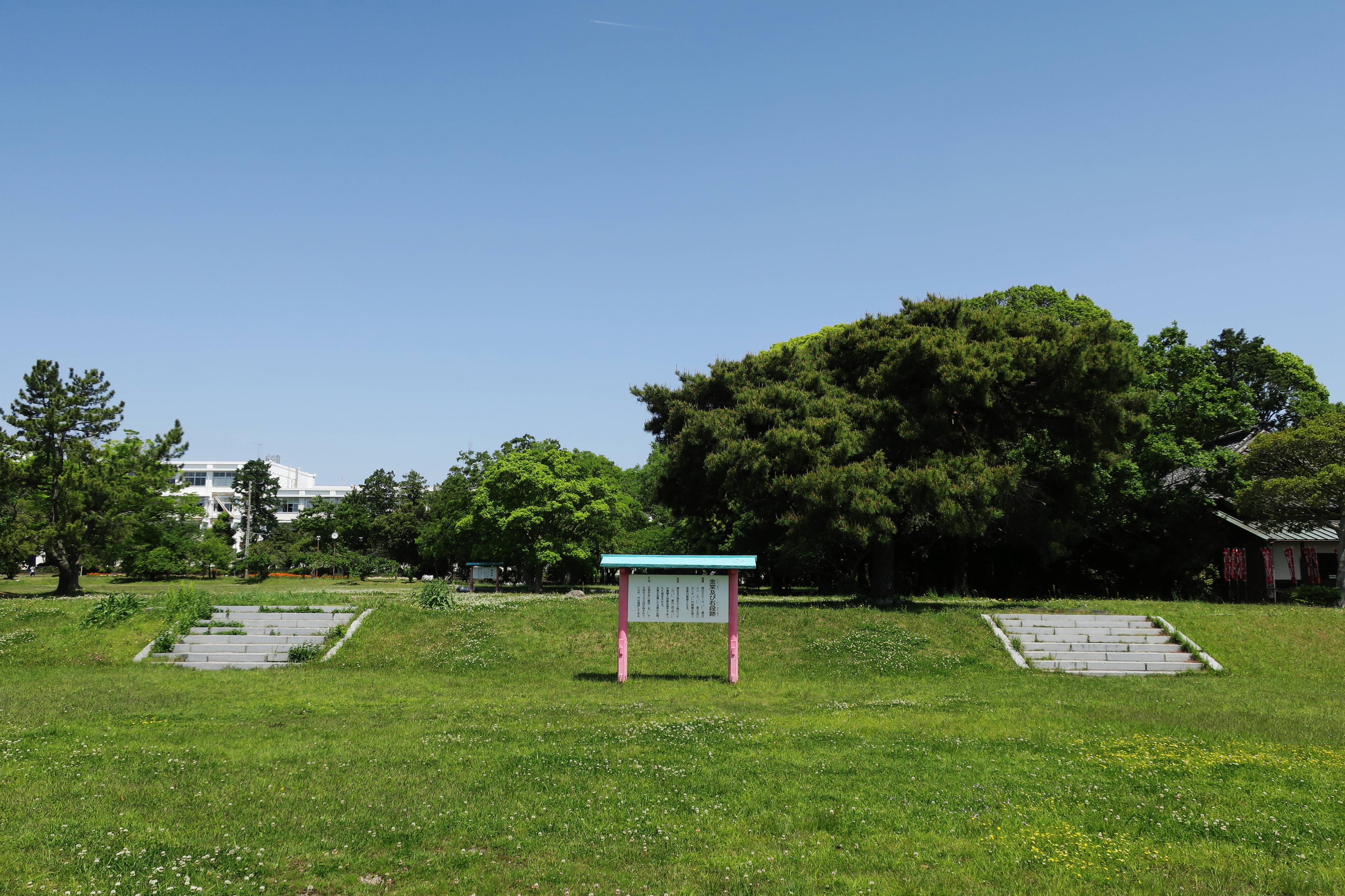
The is a ''Kofun period'' burial mound located in the Yamahigashi neighborhood of Tenryū-ku, Hamamatsu, Shizuoka Prefecture in the Chūbu region of Japan. The tumulus was designated a National Historic Site of Japan in 2020. Overview The Kōmyōsan Kofun is a , which is shaped like a keyhole, having one square end and one circular end, when viewed from above. It is located at the tip of a tongue-shaped hill of the Tenryū River plain in western Shizuoka prefecture, and is one a group of several tumuli. The cluster is named for Kōmyō-ji, a Buddhist temple in the vicinity. The tumulus was discovered in 1939, and was made a Shizuoka Prefectural Historic Site in 1955. An archaeological excavation was conducted from 2017 to 2018. The tumulus is orientated to the south, and has an overall length of 83 meters, making it the largest in Hamamatsu City. The anterior circular portion has a diameter of 45 meters and a height of 7.5 meters and is constructed in two tiers. ''Fukiis ... [...More Info...] [...Related Items...] OR: [Wikipedia] [Google] [Baidu] |
Burial Chamber
A chamber tomb is a tomb for burial used in many different cultures. In the case of individual burials, the chamber is thought to signify a higher status for the interred than a simple grave. Built from rock or sometimes wood, the chambers could also serve as places for storage of the dead from one family or social group and were often used over long periods for multiple burials. Most the chamber tombs were constructed from large stones or megaliths and covered by cairns, barrows or earth. Some chamber tombs are rock-cut monuments or wooden-chambered tombs covered with earth barrows. Grave goods are a common characteristic of chamber tomb burials. In Neolithic and Bronze Age Europe, stone-built examples of these burials are known by the generic term of megalithic tombs. Chamber tombs are often distinguished by the layout of their chambers and entrances or the shape and material of the structure that covered them, either an earth barrow or stone cairn. A wide variety of local ty ... [...More Info...] [...Related Items...] OR: [Wikipedia] [Google] [Baidu] |
Hamamatsu
is a city located in western Shizuoka Prefecture, Japan. the city had an estimated population of 791,707 in 340,591 households, making it the prefecture's largest city, and a population density of . The total area of the site was . Overview Hamamatsu is a member of the World Health Organization’s Alliance for Healthy Cities (AFHC). Cityscapes File:Hamamatsu Castle, enkei-3.jpg, Hamamatsu Castle(2021) File:Views from Hamamatsu Castle20211002.jpg, City views from Hamamatsu Castle(2021) File:Hamamatsu view - panoramio.jpg, CBD of Hamamatsu File:Hamamatsu from Mount Tonmaku.jpg, Part of Hamamatsu Skyline File:Skyline of Hamamatsu01.jpg, Skyline of Hamamatsu File:Arco Mall Yurakugai in Hamamatsu City(2).jpg, Yūrakugai File:Night view of Hamamatsu city.jpg, Night view of Hamamatsu Geography Hamamatsu is southwest of Tokyo.Fukue, Natsuko.Nonprofit brings together foreign, Japanese residents in HamamatsuArchive. ''The Japan Times''. March 13, 2010. Retriev ... [...More Info...] [...Related Items...] OR: [Wikipedia] [Google] [Baidu] |
History Of Shizuoka Prefecture
is a prefecture of Japan located in the Chūbu region of Honshu. Shizuoka Prefecture has a population of 3,637,998 and has a geographic area of . Shizuoka Prefecture borders Kanagawa Prefecture to the east, Yamanashi Prefecture to the northeast, Nagano Prefecture to the north, and Aichi Prefecture to the west. Shizuoka is the capital and Hamamatsu is the largest city in Shizuoka Prefecture, with other major cities including Fuji, Numazu, and Iwata. Shizuoka Prefecture is located on Japan's Pacific Ocean coast and features Suruga Bay formed by the Izu Peninsula, and Lake Hamana which is considered to be one of Japan's largest lakes. Mount Fuji, the tallest volcano in Japan and cultural icon of the country, is partially located in Shizuoka Prefecture on the border with Yamanashi Prefecture. Shizuoka Prefecture has a significant motoring heritage as the founding location of Honda, Suzuki, and Yamaha, and is home to the Fuji International Speedway. History Shizuoka Prefect ... [...More Info...] [...Related Items...] OR: [Wikipedia] [Google] [Baidu] |
Kofun
are megalithic tombs or tumuli in Northeast Asia. ''Kofun'' were mainly constructed in the Japanese archipelago between the middle of the 3rd century to the early 7th century CE.岡田裕之「前方後円墳」『日本古代史大辞典』大和書房、2006年。 The term is the origin of the name of the Kofun period, which indicates the middle 3rd century to early–middle 6th century. Many ''kofun'' have distinctive keyhole-shaped mounds (). The Mozu- Furuichi kofungun or tumulus clusters were inscribed on the UNESCO World Heritage List in 2019, while Ishibutai Kofun is one of a number in Asuka-Fujiwara residing on the Tentative List. Overview The ''kofun tumuli'' have assumed various shapes throughout history. The most common type of ''kofun'' is known as a , which is shaped like a keyhole, having one square end and one circular end, when viewed from above. There are also circular-type (), "two conjoined rectangles" typed (), and square-type () kofun. Orientation ... [...More Info...] [...Related Items...] OR: [Wikipedia] [Google] [Baidu] |
List Of Historic Sites Of Japan (Shizuoka)
This list is of the Historic Sites of Japan located within the Prefecture of Shizuoka. National Historic Sites As of 1 January 2021, forty-eight Sites have been designated as being of national significance (including three *Special Historic Sites); the Joseon Mission Sites span the borders with Hiroshima and Okayama, Old Hakone Road and the site of the Stone Quarries for Edo Castle span the border with Kanagawa, and Mount Fuji spans the border with Yamanashi. Prefectural Historic Sites As of 1 May 2020, thirty-four Sites have been designated as being of prefectural importance. Municipal Historic Sites As of 1 May 2020, a further two hundred and eighty-five Sites have been designated as being of municipal importance. See also * Cultural Properties of Japan * Tōtōmi, Suruga, and Izu Provinces * List of Places of Scenic Beauty of Japan (Shizuoka) This list is of the Places of Scenic Beauty of Japan located within the Prefecture of Shizuoka. National Places ... [...More Info...] [...Related Items...] OR: [Wikipedia] [Google] [Baidu] |
Hamamatsu Station
is a railway station on the Tōkaidō Main Line and the Tōkaidō Shinkansen in Hamamatsu, Shizuoka, Japan, operated by the Central Japan Railway Company (JR Central). The local Enshū Railway Line terminus of Shin-Hamamatsu Station is 3 minutes' walking distance away. Lines Hamamatsu Station is served by the Tōkaidō Main Line and the high-speed Tōkaidō Shinkansen from Tokyo. The station is 257.1 kilometers from Tokyo Station. Station layout Hamamatsu Station has two island platforms serving Tracks 1-4 for the Tōkaidō Shinkansen, which are connected by an underpass a central concourse. At the same level as the Shinkansen tracks are the two island platforms serving Tracks 5-8 of the Tōkaidō Main Line. The station building has automated ticket machines, TOICA automated turnstiles and a staffed "Midori no Madoguchi" ticket office. Platforms Adjacent stations History Hamamatsu Station was officially opened on September 1, 1888. The station building was ... [...More Info...] [...Related Items...] OR: [Wikipedia] [Google] [Baidu] |
Yamato Period
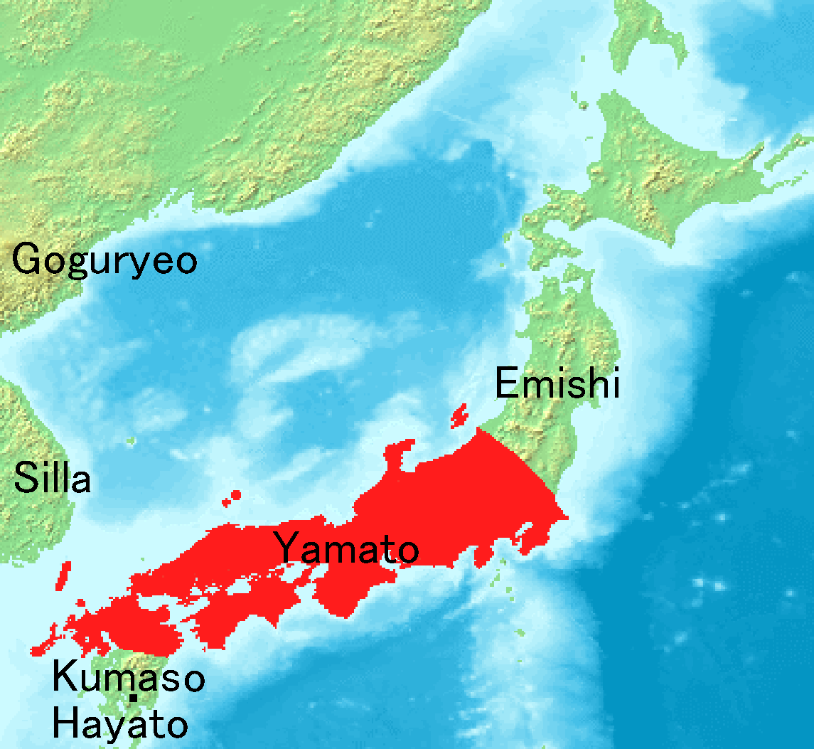
The is the period of Japanese history when the Imperial court ruled from modern-day Nara Prefecture, then known as Yamato Province. While conventionally assigned to the period 250–710, including both the Kofun period (–538) and the Asuka period (538–710), the actual start of Yamato rule is disputed. The Yamato court's supremacy was challenged during the Kofun period by other polities centered in various parts of Japan. What is certain is that Yamato clans had major advantages over their neighbouring clans in the 6th century. This period is divided by the relocation of the capital to Asuka, in modern Nara Prefecture. However, the Kofun period is an archaeological period while the Asuka period is a historical period. Therefore, many think of this as an old division and this concept of period division is no longer applicable. At the era of Prince Shōtoku in the early 7th century, a new constitution was prescribed for Japan based on the Chinese model. After the fall of B ... [...More Info...] [...Related Items...] OR: [Wikipedia] [Google] [Baidu] |
Kinki Region
The or the , lies in the southern-central region of Japan's main island Honshū. The region includes the prefectures of Nara, Wakayama, Kyoto, Osaka, Hyōgo and Shiga, often also Mie, sometimes Fukui, Tokushima and Tottori. The metropolitan region of Osaka, Kobe and Kyoto (Keihanshin region) is the second-most populated in Japan after the Greater Tokyo Area. Name The terms , , and have their roots during the Asuka period. When the old provinces of Japan were established, several provinces in the area around the then-capital Kyoto were collectively named Kinai and Kinki, both roughly meaning "the neighbourhood of the capital". Kansai (literally ''west of the tollgate'') in its original usage refers to the land west of the Osaka Tollgate (), the border between Yamashiro Province and Ōmi Province (present-day Kyoto and Shiga prefectures).Entry for . Kōjien, fifth edition, 1998, During the Kamakura period, this border was redefined to include Ōmi and Iga Provinces. It i ... [...More Info...] [...Related Items...] OR: [Wikipedia] [Google] [Baidu] |
Mikawa Province
was an old province in the area that today forms the eastern half of Aichi Prefecture. Nussbaum, Louis-Frédéric. (2005). "''Mikawa''" in . Its abbreviated form name was . Mikawa bordered on Owari, Mino, Shinano, and Tōtōmi Provinces. Mikawa is classified as one of the provinces of the Tōkaidō. Under the ''Engishiki'' classification system, Mikawa was ranked as a "superior country" (上国) and a "near country" (近国) in terms of its distance from the capital. History Mikawa is mentioned in records of the Taika Reform dated 645, as well as various Nara period chronicles, including the Kujiki, although the area has been settled since at least the Japanese Paleolithic period, as evidenced by numerous remains found by archaeologists. Early records mention a "Nishi-Mikawa no kuni" and a "Higashi-Mikawa no kuni", also known as . Although considered one administrative unit under the ''Engishiki'' classification system, this division (roughly based at the Yasaku River) pers ... [...More Info...] [...Related Items...] OR: [Wikipedia] [Google] [Baidu] |
Shinano Province
or is an old province of Japan that is now Nagano Prefecture. Shinano bordered on Echigo, Etchū, Hida, Kai, Kōzuke, Mikawa, Mino, Musashi, Suruga, and Tōtōmi Provinces. The ancient capital was located near modern-day Matsumoto, which became an important city of the province. The World War II–era Japanese aircraft carrier ''Shinano'' was named after this old province. Historical record In 713, the road that traverses Mino and Shinano provinces was widened to accommodate increasing numbers of travelers through the Kiso District of modern Nagano Prefecture. In the Sengoku period, Shinano Province was often split among fiefs and castle towns developed, including Komoro, Ina, and Ueda. Shinano was one of the major centers of Takeda Shingen's power during his wars with Uesugi Kenshin and others. Suwa taisha was designated as the chief Shinto shrine (''ichinomiya'') for the province. [...More Info...] [...Related Items...] OR: [Wikipedia] [Google] [Baidu] |
Tōtōmi Province
was a province of Japan in the area of Japan that is today western Shizuoka Prefecture. Nussbaum, Louis-Frédéric. (2005). "''Tōtōmi''" in . Tōtōmi bordered on Mikawa, Suruga and Shinano Provinces. Its abbreviated form name was . The origin of its name is the old name of Lake Hamana. History Tōtōmi was one of the original provinces of Japan established in the Nara period under the Taihō Code. The original capital of the province was located in what is now Iwata, and was named Mitsuke – a name which survived into modern times as Mitsuke-juku, a post station on the Tōkaidō. Under the ''Engishiki'' classification system, Tōtōmi was ranked as a "superior country" (上国) in terms of importance, and one of the 16 "middle countries" (中国) in terms of distance from the capital. During the early Muromachi period, Tōtōmi was ruled nominally by the Imagawa clan before coming under control of the Shiba clan._However,_by_the_Sengoku_period.html" ;"title="DF ... [...More Info...] [...Related Items...] OR: [Wikipedia] [Google] [Baidu] |


