|
List Of Historic Sites Of Japan (Shizuoka)
This list is of the Historic Sites of Japan located within the Prefecture of Shizuoka. National Historic Sites As of 1 January 2021, forty-eight Sites have been designated as being of national significance (including three *Special Historic Sites); the Joseon Mission Sites span the borders with Hiroshima and Okayama, Old Hakone Road and the site of the Stone Quarries for Edo Castle span the border with Kanagawa, and Mount Fuji spans the border with Yamanashi. Prefectural Historic Sites As of 1 May 2020, thirty-four Sites have been designated as being of prefectural importance. Municipal Historic Sites As of 1 May 2020, a further two hundred and eighty-five Sites have been designated as being of municipal importance. See also * Cultural Properties of Japan * Tōtōmi, Suruga, and Izu Provinces * List of Places of Scenic Beauty of Japan (Shizuoka) This list is of the Places of Scenic Beauty of Japan located within the Prefecture of Shizuoka. National Places ... [...More Info...] [...Related Items...] OR: [Wikipedia] [Google] [Baidu] |
Prefectures Of Japan
Japan is divided into 47 prefectures (, ''todōfuken'', ), which rank immediately below the national government and form the country's first level of jurisdiction and administrative division. They include 43 prefectures proper (, ''ken''), two urban prefectures (, '' fu'': Osaka and Kyoto), one " circuit" or "territory" (, '' dō'': Hokkai-dō) and one metropolis (, '' to'': Tokyo). In 1868, the Meiji ''Fuhanken sanchisei'' administration created the first prefectures (urban ''fu'' and rural ''ken'') to replace the urban and rural administrators (''bugyō'', ''daikan'', etc.) in the parts of the country previously controlled directly by the shogunate and a few territories of rebels/shogunate loyalists who had not submitted to the new government such as Aizu/ Wakamatsu. In 1871, all remaining feudal domains ''( han)'' were also transformed into prefectures, so that prefectures subdivided the whole country. In several waves of territorial consolidation, today's 47 prefecture ... [...More Info...] [...Related Items...] OR: [Wikipedia] [Google] [Baidu] |
Tōtōmi Province
was a province of Japan in the area of Japan that is today western Shizuoka Prefecture. Nussbaum, Louis-Frédéric. (2005). "''Tōtōmi''" in . Tōtōmi bordered on Mikawa, Suruga and Shinano Provinces. Its abbreviated form name was . The origin of its name is the old name of Lake Hamana. History Tōtōmi was one of the original provinces of Japan established in the Nara period under the Taihō Code. The original capital of the province was located in what is now Iwata, and was named Mitsuke – a name which survived into modern times as Mitsuke-juku, a post station on the Tōkaidō. Under the ''Engishiki'' classification system, Tōtōmi was ranked as a "superior country" (上国) in terms of importance, and one of the 16 "middle countries" (中国) in terms of distance from the capital. During the early Muromachi period, Tōtōmi was ruled nominally by the Imagawa clan before coming under control of the Shiba clan._However,_by_the_Sengoku_period.html" ;"title="DF ... [...More Info...] [...Related Items...] OR: [Wikipedia] [Google] [Baidu] |
Izu Province
was a province of Japan in the area of Shizuoka Prefecture. Nussbaum, Louis-Frédéric. (2005). "''Izu''" in . Izu bordered on Sagami and Suruga Provinces. Its abbreviated form name was . The mainland portion of Izu Province, comprising the Izu Peninsula, is today the eastern portion of Shizuoka Prefecture and the Izu Islands are now part of Tokyo. History In 680 A.D., two districts of Suruga Province, Tagata District and Kamo District, were separated into the new Izu Province. At some point between the year 701 and 710, Naka District was added. The capital of the new province was established at Mishima, which also had the ''Kokubun-ji'' and the Ichinomiya ( Mishima Taisha) of the province. Under the ''Engishiki'' classification system, Izu was ranked as a "lesser country" (下国). Under the ''ritsuryō'' legal system, Izu was one of the preferred locations for exile for those convicted of political crimes by the Heian period court. In the Kamakura period, Izu was rule ... [...More Info...] [...Related Items...] OR: [Wikipedia] [Google] [Baidu] |
Mishima, Shizuoka
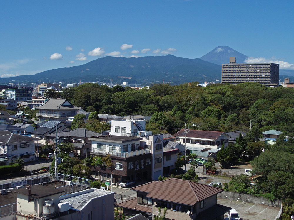
Mishima City Hall is a city located in eastern Shizuoka Prefecture, Japan. , the city had an estimated population of 109,803 in 49,323 households, and a population density of 1800 persons per km². The total area of the city is . Geography Mishima is located in far eastern Shizuoka Prefecture, at the northern end of Izu Peninsula and in the foothills of Mount Fuji. Surrounding municipalities *Shizuoka Prefecture **Numazu ** Susono **Kannami ** Shimizu **Nagaizumi *Kanagawa Prefecture **Hakone Demographics Per Japanese census data, the population of Mishima has remained stable over the past 25 years. Climate Mishima has a humid subtropical climate (Köppen climate classification ''Cfa'') with hot summers and cool winters. Precipitation is significant throughout the year, but is heaviest from June to September. The average annual temperature in Mishima is . The average annual rainfall is with September as the wettest month. The temperatures are highest on average in Augus ... [...More Info...] [...Related Items...] OR: [Wikipedia] [Google] [Baidu] |
Izu Kokubun-ji
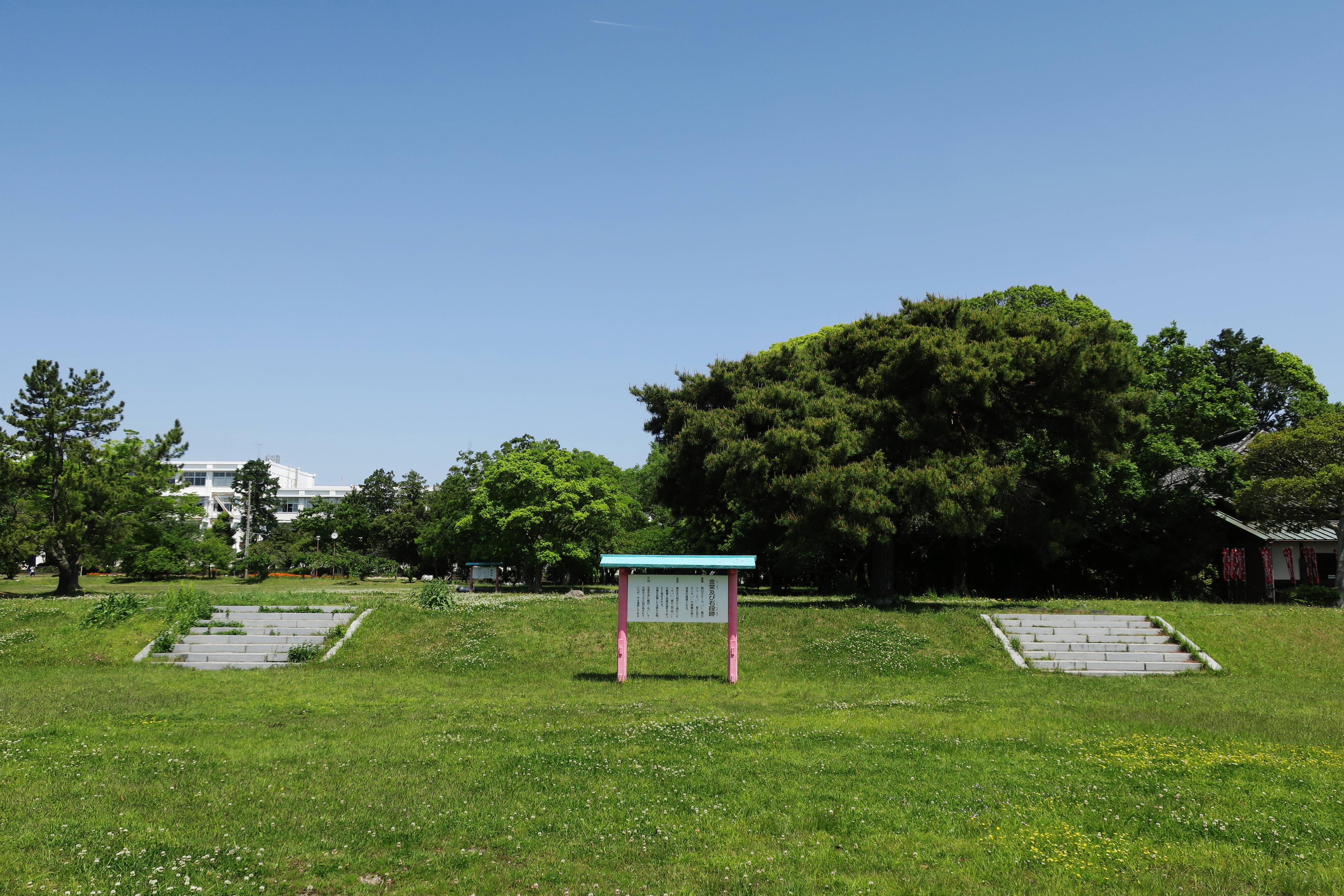
270px, Main Hall of the modern Izu Kokubun-ji is a Buddhist temple located in what is now the city of Mishima, Shizuoka, Japan. It is the modern successor of one of the provincial temples established by Emperor Shōmu during the Nara period (710 – 794) for the purpose of promoting Buddhism as the national religion of Japan and standardising control of Yamato rule over the provinces. The foundation stones for the seven-story pagoda of original temple was designated as a National Historic Site in 1956. History The ''Shoku Nihongi'' records that in 741, as the country recovered from a major smallpox epidemic, Emperor Shōmu ordered that a monastery and nunnery be established in every province, the . Izu Kokubun-ji was founded in 741 as the provincial temple of Izu Province; however, the precise date of its construction has not been confirmed from archaeological materials or literature. As the project for such a large-scale civil engineering project was unprecedented for rel ... [...More Info...] [...Related Items...] OR: [Wikipedia] [Google] [Baidu] |
Yayoi Period
The started at the beginning of the Neolithic in Japan, continued through the Bronze Age, and towards its end crossed into the Iron Age. Since the 1980s, scholars have argued that a period previously classified as a transition from the Jōmon period should be reclassified as Early Yayoi. The date of the beginning of this transition is controversial, with estimates ranging from the 10th to the 3rd centuries BC. The period is named after the Yayoi, Tokyo, neighbourhood of Tokyo where Archaeology, archaeologists first uncovered artifacts and features from that era in the late 19th century. Distinguishing characteristics of the Yayoi period include the appearance of new Yayoi pottery styles and the start of an intensive rice agriculture in paddy fields. A hierarchical social class structure dates from this period and has its origin in China. Techniques in metallurgy based on the use of bronze and iron were also introduced from China via Korea to Japan in this period. The Yayoi foll ... [...More Info...] [...Related Items...] OR: [Wikipedia] [Google] [Baidu] |
Suruga-ku, Shizuoka
is one of three wards of Shizuoka, Shizuoka, Japan, located in the southern part of the city. The north east of Suruga-ku faces Aoi-ku; the north west faces Shimizu-ku; the south west faces Yaizu city and south east faces Suruga Bay. Suruga-ku was created on April 1, 2005 when Shizuoka became a city designated by government ordinance (a "designated city"). It consists of the area of Shizuoka prior to its merger with Shimizu, south of the Tōkaidō Main Line rail tracks. As of 1 December 2019, Suruga-ku had a population Population typically refers to the number of people in a single area, whether it be a city or town, region, country, continent, or the world. Governments typically quantify the size of the resident population within their jurisdiction using a ... of 210,684, with a land area of 73.06 km² and a population density of 2,884 persons per km². Education It has a North Korean school, Shizuoka Korean Elementary and Junior High School ( 静岡朝鮮� ... [...More Info...] [...Related Items...] OR: [Wikipedia] [Google] [Baidu] |
Toro (archaeological Site)
is an archaeological site in Suruga-ku, Shizuoka, Suruga Ward in Shizuoka, Shizuoka, Shizuoka City, southwest of Tokyo, Japan. The site contains the ruins of a settlement which dates to the 1st century CE, in the late Yayoi period. Discovered in 1943, it was archaeological excavation, excavated from 1947 to 1948 and designated a Monuments of Japan, Special Historic Site of Japan in 1952. Toro is also the name of the area surrounding it in the Japanese addressing system. Background Toro is notable as the first archaeological site excavated in Japan in which remains of 1st-century CE Yayoi-era wet-rice paddy fields were found. The site was discovered in 1943 during construction work on a military munitions plant in World War II, and was excavated in 1947 and 1948. In 1965 an excavation survey was conducted before the construction of Tōmei Expressway within the planned route. As well as the agricultural remains, archaeological findings included Pit-house dwellings, midden, re ... [...More Info...] [...Related Items...] OR: [Wikipedia] [Google] [Baidu] |
Tōkaidō (road)
The , which roughly means "eastern sea route," was the most important of the Five Routes of the Edo period in Japan, connecting Kyoto to Edo (modern-day Tokyo). Unlike the inland and less heavily travelled Nakasendō, the Tōkaidō travelled along the sea coast of eastern Honshū, hence the route's name. Traveling the Tōkaidō The standard method of travel was on foot, as wheeled carts were almost nonexistent and heavy cargo was usually sent by boat. Members of the higher class, however, travelled by ''kago''. Women were forbidden to travel alone and had to be accompanied by men. Other restrictions were also put in place for travellers, but, while severe penalties existed for various travel regulations, most seem not to have been enforced. Captain Sherard Osborn, who travelled part of the road in around 1858, noted that: Along the Tōkaidō, there were government-sanctioned post stations (shukuba) for travellers' rest. These stations consisted of porter stations and horse ... [...More Info...] [...Related Items...] OR: [Wikipedia] [Google] [Baidu] |
Kosai, Shizuoka
is a city located in far western Shizuoka Prefecture, Japan. , the city had an estimated population of 57,885 in 24,232 households, and a population density of 668.7 persons per km². The total area of the city is . Geography Kosai is located in the far southwest corner of Shizuoka Prefecture, bordered by Aichi Prefecture to the west, Lake Hamana to the east. The name of the city means "west of the lake", in reference to its location near Lake Hamana. The city is bordered to the south by the Enshū Gulf of Pacific Ocean. Due to its location, the warm Kuroshio Current offshore provides for a temperate maritime climate with hot, humid summers and mild, cool winters. Neighboring municipalities Shizuoka Prefecture *Hamamatsu Aichi Prefecture *Toyohashi Demographics Per Japanese census data, the population of Kosau has been relatively steady over the past 30 years. Climate The city has a climate characterized by characterized by hot and humid summers, and relatively mild winter ... [...More Info...] [...Related Items...] OR: [Wikipedia] [Google] [Baidu] |


.jpg)