|
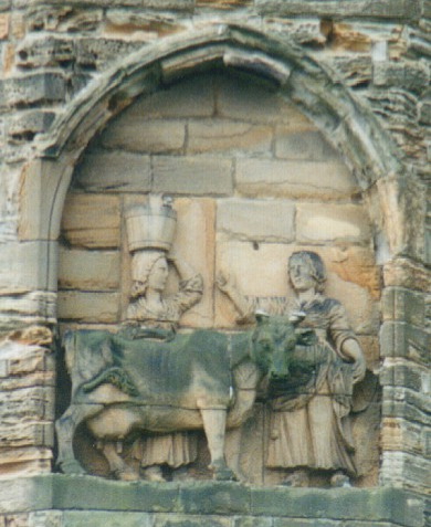
Kepier Hospital Gate House 1333 - Geograph
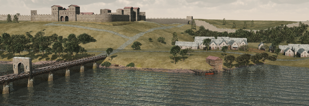
Kepier is a location in the city of Durham, England in the parish of Belmont, close to Gilesgate and beside the River Wear. It is site of the medieval Hospital of St Giles at Kepier. The name derives from 'Kipe weir', meaning a weir with a fish trap and the convenience of being close to a source of fish (a major part of the monastic diet) may have influenced the location of the hospital. Kepier was also the site of a medieval corn mill which continued in use until its destruction by fire on September 24, 1870 caused by a spark from the grinding of the stone millwheels. The mill was never rebuilt; only a stone arch over the remnant of the mill race remains. Kepier may also have been the site of a Roman crossing of the River Wear carrying a postulated Roman road, Cade's Road, which led north to Pons Aelius. The Kepier estate previously extended over much of Gilesgate, Gilesgate Moor and Carrville. In the 1940s, plans for Kepier power station Kepier power station refers ... [...More Info...] [...Related Items...] OR: [Wikipedia] [Google] [Baidu] |
Durham, England
Durham ( , locally ), is a cathedral city and civil parish on the River Wear, County Durham, England. It is an administrative centre of the County Durham District, which is a successor to the historic County Palatine of Durham (which is different to both the ceremonial county and district of County Durham). The settlement was founded over the final resting place of St Cuthbert. Durham Cathedral was a centre of pilgrimage in medieval England while the Durham Castle has been the home of Durham University since 1832. Both built in 11th-century, the buildings were designated as a World Heritage Site by UNESCO in 1986. HM Prison Durham is also located close to the city centre and was built in 1816. Name The name "Durham" comes from the Brythonic element , signifying a hill fort and related to -ton, and the Old Norse , which translates to island.Surtees, R. (1816) ''History and Antiquities of the County Palatine of Durham'' (Classical County Histories) The Lord Bishop of Durh ... [...More Info...] [...Related Items...] OR: [Wikipedia] [Google] [Baidu] |
Belmont Parish
Belmont is a suburb forming the north-eastern parts of the city of Durham, England. Belmont Parish covers four old coal mining villages of Belmont, Carrville, Broomside and Gilesgate Moor, which have been joined together by industrial and suburban developments since the 1950s. As such Belmont can be used either to refer narrowly to the old village area, or the wider parish, particularly the parts (Belmont, Carrville and Broomside) to the east of the A1(M) motorway which bisects the area. At the 2011 census, the parish had a population of 8,881. Geography and History Belmont was a largely agricultural area within the parishes of St Giles Church, Durham and Pittington, but industrial developments - mainly coal mining - brought development through the second half of the nineteenth century. A number of collieries were sunk in the area and the largest, Belmont Colliery, took its name from the 1820s-built Belmont Hall (previously and now again known as 'Ramside Hall'). Belmont was s ... [...More Info...] [...Related Items...] OR: [Wikipedia] [Google] [Baidu] |
Gilesgate
Gilesgate is a place in County Durham, England. It is situated east of the centre of Durham, England, Durham. It is also a ward of Durham with a total population taken at the United Kingdom Census 2011, 2011 census was 8,074. Gilesgate was originally the main street in a settlement associated with Kepier Hospital, the Hospital of St Giles which was sited by the existing St Giles Church, Durham, St Giles Church. The street was divided in the 1960s by the construction of the A690 and the demolition of a number of houses, pubs and shops at the foot of Gilesgate Bank to construct a roundabout. East of Gilesgate itself was Gilesgate Moor. During the 19th century, housing extended along the Sherburn and Sunderland Roads and the colliery village of New Durham, Durham, New Durham was built within the parish. Additional housing was constructed along the Sherburn Road in the 1930s, including the Sherburn Road Estate, built to house residents from the slums of Framwelgate. Following the Se ... [...More Info...] [...Related Items...] OR: [Wikipedia] [Google] [Baidu] |
River Wear
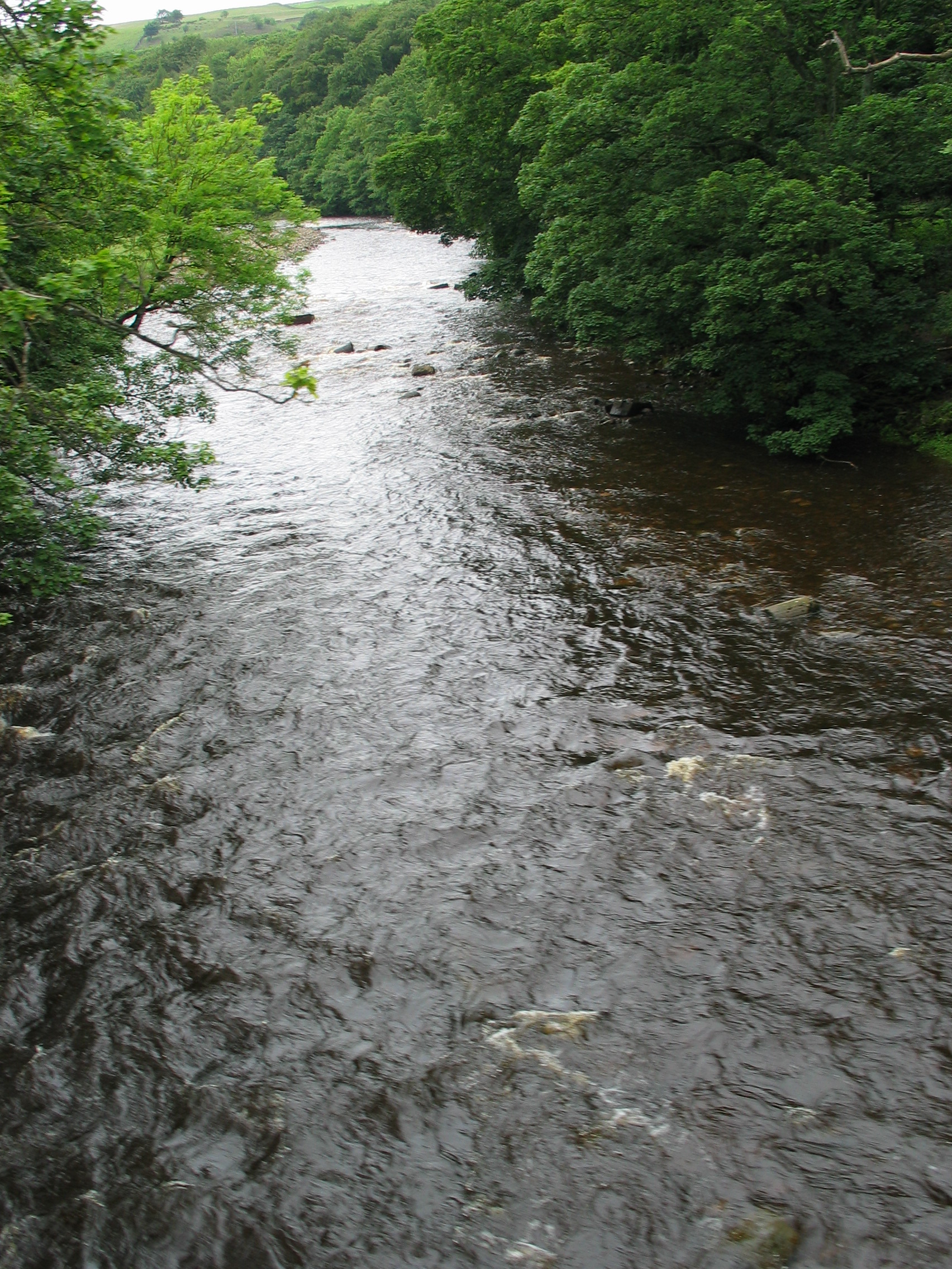
The River Wear (, ) in North East England rises in the Pennines and flows eastwards, mostly through County Durham to the North Sea in the City of Sunderland. At long, it is one of the region's longest rivers, wends in a steep valley through the cathedral city of Durham and gives its name to Weardale in its upper reach and Wearside by its mouth. Etymology The origin behind the hydronym ''Wear'' is uncertain but is generally understood to be Celtic. The ''River Vedra'' on the Roman Map of Britain may very well be the River Wear. The name may be derived from Brittonic ''*wejr'' (<''*wẹ:drā''), which meant "a bend" (c.f ''-gwair-''). An alternative but very problematic etymology might involve ''*wẹ:d-r-'', from a lengthened form of the |
Kepier Hospital
Kepier Hospital (properly the Hospital of St Giles of Kepier) was a medieval hospital at Kepier, Durham, England, Durham, England. Founding at Gilesgate The hospital was founded at Gilesgate, Durham, England, Durham, by Ranulf Flambard, Bishop Flambard as an almshouse "for the keeping of the poor who enter the same hospital". It was dedicated to God and Saint Giles, St Giles, the patron saint of beggars and cripples. The first hospital chapel (now St Giles Church, Durham, St Giles Church, Gilesgate) was dedicated in June 1112. Other than the church, the original buildings were wooden or wattle-and-daub structures. Flambard endowed the hospital with a range of lands, including the Manorialism, manor of Caldecotes, the mill on Durham's Millburn, and corn from fifteen of his villages. Godric of Finchale was a doorkeeper of the hospital church before settling at Finchale Priory, Finchale. Geoffrey Rufus was Bishop of Durham. Rufus employed as a clerk William Cumin, who after Ruf ... [...More Info...] [...Related Items...] OR: [Wikipedia] [Google] [Baidu] |
Gristmill
A gristmill (also: grist mill, corn mill, flour mill, feed mill or feedmill) grinds cereal grain into flour and Wheat middlings, middlings. The term can refer to either the Mill (grinding), grinding mechanism or the building that holds it. Grist is grain that has been separated from its chaff in preparation for grinding. History Early history The Greek geographer Strabo reports in his ''Geography'' a water-powered grain-mill to have existed near the palace of king Mithradates VI Eupator at Cabira, Asia Minor, before 71 BC. The early mills had horizontal paddle wheels, an arrangement which later became known as the "Water wheel#Vertical axis, Norse wheel", as many were found in Scandinavia. The paddle wheel was attached to a shaft which was, in turn, attached to the centre of the millstone called the "runner stone". The turning force produced by the water on the paddles was transferred directly to the runner stone, causing it to grind against a stationary "Mill machinery#Wat ... [...More Info...] [...Related Items...] OR: [Wikipedia] [Google] [Baidu] |
Cade's Road
Cade's Road is a Roman Road in north-east England. It is named after John Cade of Durham, an 18th-century antiquarian who in 1785 proposed its existence and possible course from the Humber Estuary northwards to the River Tyne, a distance of about . The road's Roman name is unknown. Although evidence exists for such a road on some parts of the proposed route, there is still some doubt regarding its exact course. * * Examples of place names with the suffix "le-Street" : * Chester-le-Street, County Durham ( Concangis Roman fort ) MAGiC MaP : Table of Contents * Designations * -- Listed Buildings (COLOURED SQUARE) * -- Scheduled Monuments (SHADED POLYGON) COLOUR MAPPING * OS Colour Mapping * Thornton-le-Street, near Thirsk, North Yorkshire MAGiC MaP : Table of Contents * Administrative * -- Parish Boundary (PURPLE LINE) COLOUR MAPPING * OS Colour Mapping * Thorpe le Street, near Pocklington, East Riding of Yorkshire Route From the Humber to the Tees Cade' ... [...More Info...] [...Related Items...] OR: [Wikipedia] [Google] [Baidu] |
Pons Aelius
Pons Aelius (Latin for "Aelian Bridge"), or Newcastle Roman Fort, was an auxiliary castra and small Roman settlement on Hadrian's Wall in the Roman province of Britannia Inferior (northern England), situated on the north bank of the River Tyne close to the centre of present-day Newcastle upon Tyne, and occupied between the 2nd and 4th centuries AD. History Pons Aelius was a fort and Roman settlement at the original eastern end of Hadrian's Wall, at the site now occupied by The Castle, Newcastle. The Latin name means Aelian Bridge and can be traced back to when emperor Hadrian – whose family '' nomen'' (clan name) was Aelius – visited Britain in 122 and first saw the need for a frontier wall. The town's population is estimated to have been around 2,000. The fort is thought to have been , small by Roman standards. As Pons Aelius was a wall fort it is very likely a military road led from it and followed the Wall, linking its forts and milecastles. The bridge and its fort ... [...More Info...] [...Related Items...] OR: [Wikipedia] [Google] [Baidu] |
Ipswich
Ipswich () is a port town and borough in Suffolk, England, of which it is the county town. The town is located in East Anglia about away from the mouth of the River Orwell and the North Sea. Ipswich is both on the Great Eastern Main Line railway and the A12 road; it is north-east of London, east-southeast of Cambridge and south of Norwich. Ipswich is surrounded by two Areas of Outstanding Natural Beauty (AONB): Suffolk Coast and Heaths and Dedham Vale. Ipswich's modern name is derived from the medieval name ''Gippeswic'', probably taken either from an Anglo-Saxon personal name or from an earlier name given to the Orwell Estuary (although possibly unrelated to the name of the River Gipping). It has also been known as ''Gyppewicus'' and ''Yppswyche''. The town has been continuously occupied since the Saxon period, and is contested to be one of the oldest towns in the United Kingdom.Hills, Catherine"England's Oldest Town" Retrieved 2 August 2015. Ipswich was a settleme ... [...More Info...] [...Related Items...] OR: [Wikipedia] [Google] [Baidu] |
Gilesgate Moor
Belmont is a suburb forming the north-eastern parts of the city of Durham, England, Durham, England. Belmont Parish covers four old coal mining villages of Belmont, Carrville, Broomside and Gilesgate Moor, which have been joined together by industrial and suburban developments since the 1950s. As such Belmont can be used either to refer narrowly to the old village area, or the wider parish, particularly the parts (Belmont, Carrville and Broomside) to the east of the A1(M) motorway which bisects the area. At the 2011 census, the parish had a population of 8,881. Geography and History Belmont was a largely agricultural area within the parishes of St Giles Church, Durham and Pittington, but industrial developments - mainly coal mining - brought development through the second half of the nineteenth century. A number of collieries were sunk in the area and the largest, Belmont Colliery, took its name from the 1820s-built Belmont Hall (previously and now again known as 'Ramside Hall' ... [...More Info...] [...Related Items...] OR: [Wikipedia] [Google] [Baidu] |
Carrville
Belmont is a suburb forming the north-eastern parts of the city of Durham, England. Belmont Parish covers four old coal mining villages of Belmont, Carrville, Broomside and Gilesgate Moor, which have been joined together by industrial and suburban developments since the 1950s. As such Belmont can be used either to refer narrowly to the old village area, or the wider parish, particularly the parts (Belmont, Carrville and Broomside) to the east of the A1(M) motorway which bisects the area. At the 2011 census, the parish had a population of 8,881. Geography and History Belmont was a largely agricultural area within the parishes of St Giles Church, Durham and Pittington, but industrial developments - mainly coal mining - brought development through the second half of the nineteenth century. A number of collieries were sunk in the area and the largest, Belmont Colliery, took its name from the 1820s-built Belmont Hall (previously and now again known as 'Ramside Hall'). Belmont was s ... [...More Info...] [...Related Items...] OR: [Wikipedia] [Google] [Baidu] |
Kepier Power Station
Kepier power station refers to a cancelled coal-fired power station on the River Wear at Kepier, north east of Durham, County Durham, North East England. Planned by the North Eastern Electric Supply Company (NESCo) in 1944, it was never realised as the scheme faced stiff opposition from those who claimed it would obstruct views of the historic Durham Cathedral from the East Coast Main Line. A number of people supported the scheme as it would help meet the increasing demand for electricity and provide much needed jobs in the post-depression, post-war economy of Britain. The station, which had been designed by architect Giles Gilbert Scott, would have been operational by the late 1940s and would have generated 150 megawatts of electricity. However, following a public inquiry the plans were not approved and instead NESCo installed additional capacity at their existing power stations. Background After several years of preliminary planning, surveying sites and drawing up plans, the ... [...More Info...] [...Related Items...] OR: [Wikipedia] [Google] [Baidu] |


