|
Karenkō Prefecture
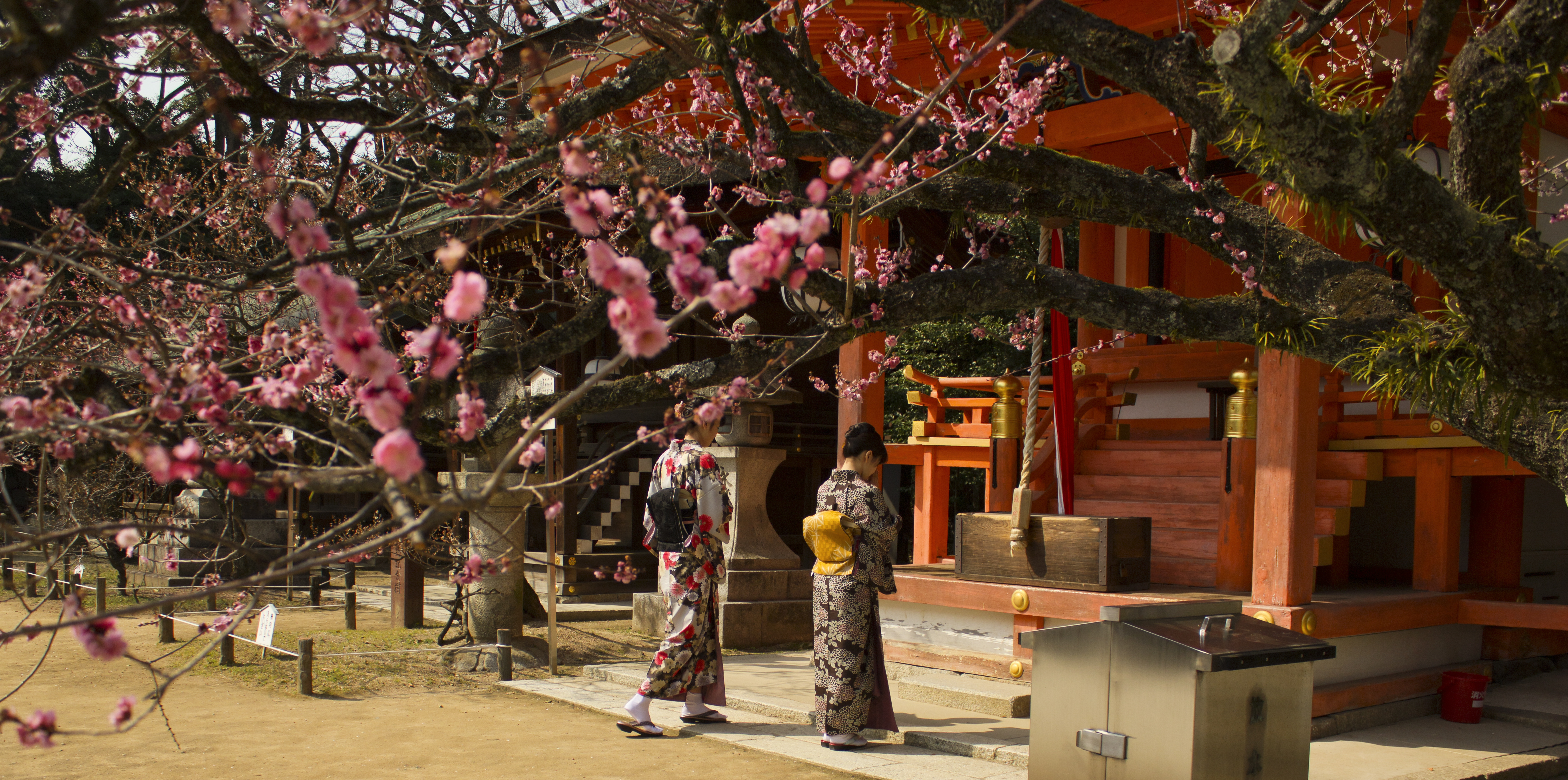
was one of the administrative divisions of Taiwan during the Japanese rule. The prefecture consisted of modern-day Hualien County. Population Administrative divisions Cities and Districts In 1945 ( Shōwa 20), there were 1 city and 3 districts. Towns and Villages The districts are divided into towns (街) and villages (庄) Karenkō Shrine Karenkō Shrine was a Shinto shrine located in Hualien City, Hualien County (formerly Karenkō city, in Taiwan during Japanese colonial rule. It was ranked as a Prefectural Shrine and was the central shrine in Karenkō Prefecture. History The shrine was built on August 19, 1915 ( Taishō 4). Prince Yoshihisa and the Three Kami Deities of Cultivation no Mikoto, Ōnamuchi no Mikoto, no Mikoto were enshrined. On March 2, 1921 the shrine was classified as a Prefectural Shrine. After World War II, the shrine became a martyrs' shrine honoring Taiwan's heroes such as Tei Seikō, Liu Yongfu, and Qiu Fengjia. In 1981, the shrine was ... [...More Info...] [...Related Items...] OR: [Wikipedia] [Google] [Baidu] |
Karenko Prefectural Office
Hualien City (; Wade-Giles: Hua¹-lien² Shih⁴; Hokkien POJ: ''Hoa-lian-chhī'' or ''Hoa-liân-chhī'') is a county-administered city and the county seat of Hualien County, Taiwan. It is located on the east coast of Taiwan on the Pacific Ocean, and has a population of 106,368 inhabitants. Name Hualien County annals () record that the city was called "Kilai" () until the early twentieth century. This name refers to the Sakiraya Taiwanese aborigines and their settlement. After Taiwan came under Japanese rule in 1895 its governors sought to change the name because "Kilai" is pronounced the same as the Japanese word for . The name was eventually changed to . After World War II the incoming Kuomintang-led Republic of China retained the Kanji spelling but shortened the name to just , or ''Hualien'' via Chinese romanization. History The Spaniards built mines for gold in Hualien in 1622. Permanent settlements began in 1851, when 2,200 Han Chinese farmers led by Huang A-fong (� ... [...More Info...] [...Related Items...] OR: [Wikipedia] [Google] [Baidu] |
Fenglin, Hualien
Fenglin Township, () is an urban township in central Hualien County, Taiwan. It is located in Huatung Valley bordering Shoufeng Township on the north and Guangfu Township on the south. It has a population of around 10,552 inhabitants in 12 villages. Geography The administration area here is 120.518 km2, and located in the Huatung Valley plain between Central Mountain Range and Hai'an Range (Coastal Range). Administrative divisions Fengren, Fengyi, Fengli, Fengzhi, Fengxin, Shanxing, Darong, Beilin, Nanping, Linrong, Zhangqiao and Senrong Village. Education Fenglin Township has 3 junior high schools and 8 elementary schools. Fenglin Senior High School and 1 university are planning for construction. Tourist attractions * Fenglin Hakka Cultural Museum * Fenglin Recreation Area * Fenglin Road Park * Fenglin Township Vegetable Area * Jianying Park * Linrong Recreation Area * Lintian Police Substation and Old Lintian Police Station * Cilakaiyan Tribe (吉拉卡樣部落 ... [...More Info...] [...Related Items...] OR: [Wikipedia] [Google] [Baidu] |
Ōkuninushi
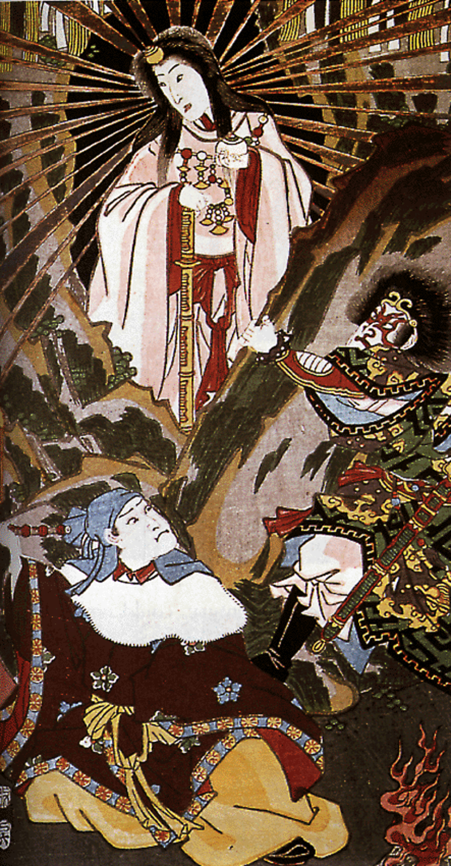
Ōkuninushi ( historical orthography: ''Ohokuninushi''), also known as Ō(a)namuchi (''Oho(a)namuchi'') or Ō(a)namochi (''Oho(a)namochi'') among other variants, is a ''kami'' in Japanese mythology. He is one of the central deities in the cycle of myths recorded in the '' Kojiki'' (ca. 712 CE) and the '' Nihon Shoki'' (720 CE) alongside the sun goddess Amaterasu and her brother, the wild god Susanoo, who is reckoned to be either Ōkuninushi's distant ancestor or father. In these texts, Ōkuninushi (Ōnamuchi) is portrayed as the head of the ''kunitsukami'', the gods of the earth, and the original ruler of the terrestrial world, named Ashihara-no-Nakatsukuni (葦原中国, the "Central Land of Reed Plains"). When the heavenly deities (''amatsukami'') headed by Amaterasu demanded that he relinquish his rule over the land, Ōkuninushi agreed to their terms and withdrew into the unseen world (幽世, ''kakuriyo''), which was given to him to rule over in exchange. Amaterasu's grand ... [...More Info...] [...Related Items...] OR: [Wikipedia] [Google] [Baidu] |
Kami
are the deities, divinities, spirits, phenomena or "holy powers", that are venerated in the Shinto religion. They can be elements of the landscape, forces of nature, or beings and the qualities that these beings express; they can also be the spirits of venerated dead people. Many ''kami'' are considered the ancient ancestors of entire clans (some ancestors became ''kami'' upon their death if they were able to embody the values and virtues of ''kami'' in life). Traditionally, great leaders like the Emperor could be or became ''kami''. In Shinto, ''kami'' are not separate from nature, but are of nature, possessing positive and negative, and good and evil characteristics. They are manifestations of , the interconnecting energy of the universe, and are considered exemplary of what humanity should strive towards. ''Kami'' are believed to be "hidden" from this world, and inhabit a complementary existence that mirrors our own: . To be in harmony with the awe-inspiring aspects of nature ... [...More Info...] [...Related Items...] OR: [Wikipedia] [Google] [Baidu] |
Prince Yoshihisa
of Japan, was the second head of a collateral branch of the Japanese imperial family. He was formerly enshrined in Tainan-Jinja, Taiwan, under the name ''Kitashirakawa no Miya Yoshihisa-shinnō no Mikoto'' as the main and only deity. Biography Early life Prince Kitashirakawa Yoshihisa was the ninth son of Prince Fushimi Kuniie (1802–1875) with Horiuchi Nobuko. He entered the Buddhist priesthood under the title Rinnoji-no-miya. He served as abbot of Kan'ei-ji in Edo. Bakumatsu period During the unrest of the Boshin War to overthrow the Tokugawa shogunate, Prince Yoshihisa fled north with Tokugawa partisans of the following the Satsuma- Chōshū takeover of the city of Edo, and was made the nominal head of the "Northern Alliance" ''(Ōuetsu Reppan Dōmei).'' This short-lived alliance consisted of almost all of the domains of northern Japan under the leadership of Date Yoshikuni of Sendai. Documents exist which name Prince Yoshihisa as , and delineate the holders of ... [...More Info...] [...Related Items...] OR: [Wikipedia] [Google] [Baidu] |
Shinto Shrine
A is a structure whose main purpose is to house ("enshrine") one or more ''kami'', the deities of the Shinto religion. Overview Structurally, a Shinto shrine typically comprises several buildings. The '' honden''Also called (本殿, meaning: "main hall") is where a shrine's patron ''kami'' is/are enshrined.Iwanami Japanese dictionary The ''honden'' may be absent in cases where a shrine stands on or near a sacred mountain, tree, or other object which can be worshipped directly or in cases where a shrine possesses either an altar-like structure, called a ''himorogi,'' or an object believed to be capable of attracting spirits, called a ''yorishiro,'' which can also serve as direct bonds to a ''kami''. There may be a and other structures as well. Although only one word ("shrine") is used in English, in Japanese, Shinto shrines may carry any one of many different, non-equivalent names like ''gongen'', ''-gū'', ''jinja'', ''jingū'', ''mori'', ''myōjin'', ''-sha'', ''taisha ... [...More Info...] [...Related Items...] OR: [Wikipedia] [Google] [Baidu] |
Zhuoxi, Hualien
Zhuoxi Township () is a mountain indigenous township in Hualien County, Taiwan, bisected by the Tropic of Cancer. It lies on the Central Mountain Range (up to 95% of its area) with steep mountains which makes it the highest township in the county. The population is 6,046 inhabitants, including Bunun people, Truku people and Seediq people. The main economic activity is agriculture. Administrative divisions The township comprises six villages: Gufeng, Lishan, Lunshan, Taiping, Zhuoqing and Zhuoxi. Tourist attractions * East Rift Valley National Scenic Park * Luntian Recreation Area * Nan'an Waterfall * Walami Hiking Trail * Yushan National Park Yushan National Park () is one of the nine national parks in Taiwan and was named after the summit Yushan, the highest peak of the park. [...More Info...] [...Related Items...] OR: [Wikipedia] [Google] [Baidu] |
Fuli, Hualien
Fuli Township () is a rural township located in southern Hualien County, Taiwan. Geography The township is located at the Huatung Valley. It has 10,849 inhabitants with 3,993 households around. The population is composed of Hakka, Hoklo, and Ami peoples. Administrative divisions Fengnan, Fuli, Funan, Luoshan, Mingli, Shipai, Tungli, Wanning, Wujiang, Xinxing, Xuetian Yongfeng and Zhutian Village. Economy The agricultural product of ''Fuli Rice'' is a famous rice in Taiwan and provides a well economy development and working chances for residents. Tourist attractions * Dongli Story House * Xiuguluan River * Fuli Hot spring * Loshan Waterfall * Luntian Recreation Area * Luoshan Recreation Area * Shihcuo Ditch * Siou Tianhsiang * Sixty Stones Mountain - Golden Needle Flower (Hemerocallis fulva) Recreation Area Transportation Rail * Dongli Station * Dongzhu Station * Fuli Station Notable natives * Waa Wei Waa Wei (; born 10 October 1982) is a Taiwanese singer-songw ... [...More Info...] [...Related Items...] OR: [Wikipedia] [Google] [Baidu] |
Yuli, Hualien
; Bunun: (Hanzi transliterated by 1917: ) , capital = , nickname = , settlement_type = Urban township , motto = , image_skyline = File:Yuli Town view.JPG , imagesize = 250px , image_caption = Aerial view of Yuli Township , image_flag = , flag_size = , image_seal = , seal_size = , image_shield = , shield_size = , city_logo = , citylogo_size = , image_map = Yuli_HL.svg , mapsize = , map_caption = , image_map1 = , mapsize1 = , map_caption1 = , image_dot_map = , dot_mapsize ... [...More Info...] [...Related Items...] OR: [Wikipedia] [Google] [Baidu] |
Wanrong, Hualien
Wanrong Township or Wanrung Township () is a mountain indigenous township located in the west of Hualien County, Taiwan, and has a population of 6,154 inhabitants and 8 villages. The elevation and climate changes greatly with the mountains of Central Range, and the adverse elevation is about 600 m. The main inhabitants are Truku people, Bunun people and Atayal people of the Taiwanese aborigines, and most economic activity is agriculture, which located in the small plain near Fenglin Township. The abundant resources of tourism has not been developed. Administrative divisions The township comprises six villages: Hongye, Jianqing, Mayuan, Mingli, Wanrong and Xilin. Tourist attractions * Hongye Hot Spring * Lintian Mountain Forestry Center * Mount Erzih Hot Spring * Qicai Lake * Wanrong Hot Spring * Fuyuan National Forest Recreation Area (Butterfly Valley) * Lintianshan (molisaka) Lumbering Culture Area Transportation *Wanrong Station, Hualien-Taitung Line of TRA (locat ... [...More Info...] [...Related Items...] OR: [Wikipedia] [Google] [Baidu] |


