|
Zhuoxi, Hualien
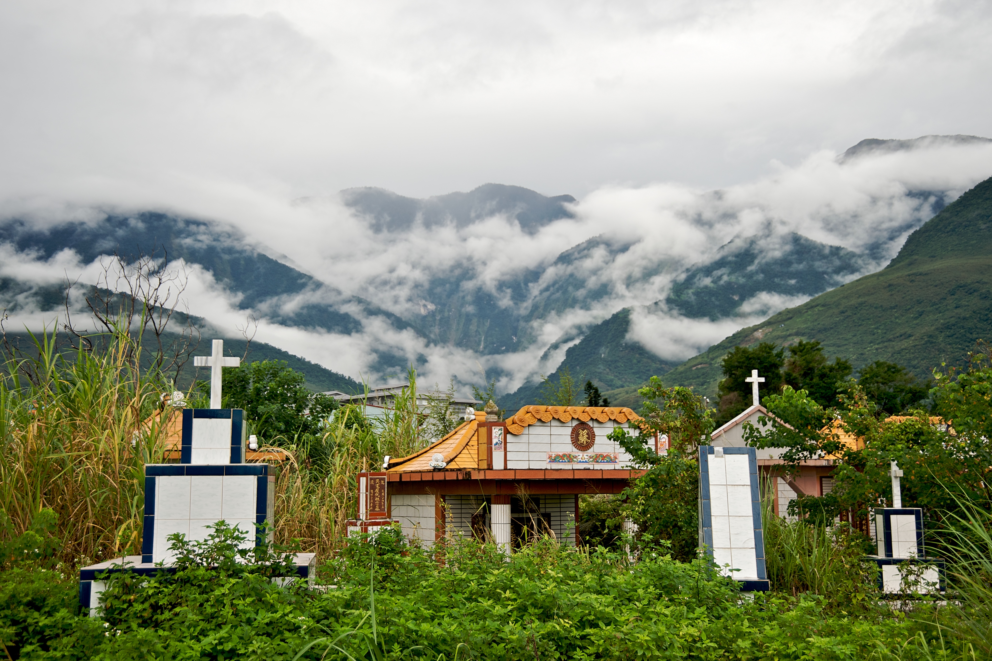
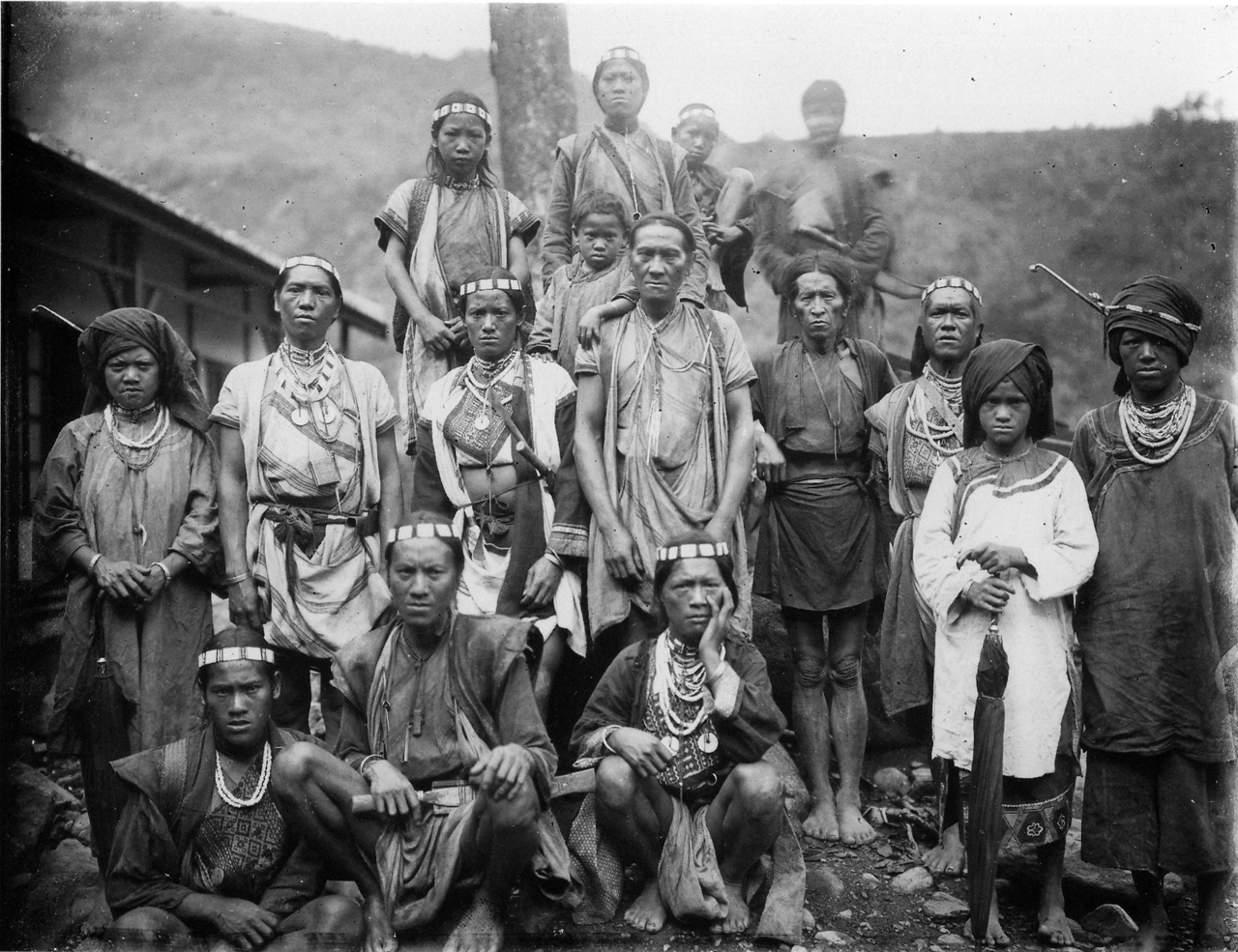
Zhuoxi Township () is a mountain indigenous township in Hualien County, Taiwan, bisected by the Tropic of Cancer. It lies on the Central Mountain Range (up to 95% of its area) with steep mountains which makes it the highest township in the county. The population is 6,046 inhabitants, including Bunun people, Truku people and Seediq people. The main economic activity is agriculture. Administrative divisions The township comprises six villages: Gufeng, Lishan, Lunshan, Taiping, Zhuoqing and Zhuoxi. Tourist attractions * East Rift Valley National Scenic Park * Luntian Recreation Area * Nan'an Waterfall * Walami Hiking Trail * Yushan National Park Yushan National Park () is one of the nine national parks in Taiwan and was named after the summit Yushan, the highest peak of the park. [...More Info...] [...Related Items...] OR: [Wikipedia] [Google] [Baidu] |
Taiwan
Taiwan, officially the Republic of China (ROC), is a country in East Asia, at the junction of the East and South China Seas in the northwestern Pacific Ocean, with the People's Republic of China (PRC) to the northwest, Japan to the northeast, and the Philippines to the south. The territories controlled by the ROC consist of 168 islands, with a combined area of . The main island of Taiwan, also known as ''Formosa'', has an area of , with mountain ranges dominating the eastern two-thirds and plains in the western third, where its highly urbanised population is concentrated. The capital, Taipei, forms along with New Taipei City and Keelung the largest metropolitan area of Taiwan. Other major cities include Taoyuan, Taichung, Tainan, and Kaohsiung. With around 23.9 million inhabitants, Taiwan is among the most densely populated countries in the world. Taiwan has been settled for at least 25,000 years. Ancestors of Taiwanese indigenous peoples settled the isla ... [...More Info...] [...Related Items...] OR: [Wikipedia] [Google] [Baidu] |
Chungyuan Standard Time
The time zones of China refer to the time zone divisions used in China between 1918 and 1949. The first time zone plan was proposed by the Central Observatory (now Beijing Ancient Observatory) of the Beiyang government in Peking (Beijing) in 1918. The proposal divided the country into five time zones: Kunlun ( UTC+05:30), Sinkiang-Tibet ( UTC+06:00), Kansu-Szechwan ( UTC+07:00), Chungyuan ( UTC+08:00) and Changpai ( UTC+08:30). These time zones were ratified in 1939 by the Nationalist government in the Standard Time Conference, hosted by the Ministry of Interior of Executive Yuan. Because of the Second Sino-Japanese War, it was also stated that Kansu-Szechwan time shall be the sole national time during the war time. After the war in 1945, these five times zones were implemented national widely. In 1949, after the Chinese Civil War, the Central People's Government abolished the five time zones and announced to use a single time zone UTC+08:00 named ''Beijing Time'' (). The term ''Ch ... [...More Info...] [...Related Items...] OR: [Wikipedia] [Google] [Baidu] |
Township (Taiwan)
Townships are the third-level administrative subdivisions of counties of the Republic of China (Taiwan), along with county-administered cities. After World War II, the townships were established from the following conversions on the Japanese administrative divisions: Although local laws do not enforce strict standards for classifying them, generally urban townships have a larger population and more business and industry than rural townships, but not to the extent of county-administered cities. Under townships, there is still the village as the fourth or basic level of administration. As of 2022, there are totally 184 townships, including 38 urban townships, 122 rural townships and 24 mountain indigenous townships. 174 townships with 35 urban and 118 rural townships are located in Taiwan Province and 10 townships with 3 urban and 4 rural townships are located in Fujian Province. Penghu and Lienchiang are the only two counties that do not have urban townships. Statistics of ... [...More Info...] [...Related Items...] OR: [Wikipedia] [Google] [Baidu] |
Hualien County
Hualien County (Mandarin Wade–Giles: Hua¹-lien² Hsien⁴; Pīnyīn: ''Huālián Xiàn''; Hokkien POJ: ''Hoa-lian-koān'' or ''Hoa-liân-koān''; Hakka PFS: ''Fâ-lièn-yen''; Amis: ''Kalingko'') is a county on the east coast of Taiwan. It is the largest county by area, yet due to its mountainous terrain, has one of the lowest populations in the country. The county seat and largest city is Hualien City. Most of the population resides in the Huadong Valley, which runs north to south, sandwiched between the Central and Hai'an mountain ranges. Due to the rural nature of the county, Hualien attracts many visitors for its natural environment, which includes Taroko Gorge, Qingshui Cliff and Qixingtan Beach. History Early history Modern-day Hualien City was originally called ''Kilai'' (), after the Sakiraya Taiwanese aborigines and their settlement. Spanish settlers arrived in 1622 to pan for gold. Picking up the sounds of native words, these settlers called the area ''Turumoa ... [...More Info...] [...Related Items...] OR: [Wikipedia] [Google] [Baidu] |
Tropic Of Cancer
The Tropic of Cancer, which is also referred to as the Northern Tropic, is the most northerly circle of latitude on Earth at which the Sun can be directly overhead. This occurs on the June solstice, when the Northern Hemisphere is tilted toward the Sun to its maximum extent. It also reaches 90 degrees below the horizon at solar midnight on the December Solstice. Using a continuously updated formula, the circle is currently north of the Equator. Its Southern Hemisphere counterpart, marking the most southerly position at which the Sun can be directly overhead, is the Tropic of Capricorn. These tropics are two of the five major circles of latitude that mark maps of Earth, the others being the Arctic and Antarctic circles and the Equator. The positions of these two circles of latitude (relative to the Equator) are dictated by the tilt of Earth's axis of rotation relative to the plane of its orbit, and since the tilt changes, the location of these two circles also changes. ... [...More Info...] [...Related Items...] OR: [Wikipedia] [Google] [Baidu] |
Central Mountain Range
The Central Mountain Range is the principal mountain range on the island of Taiwan. It runs from the north of the island to the south. Due to this separation, connecting between the west and east is not very convenient. The tallest peak of the range is Xiuguluan Mountain, . Names "Central Range" or "Central Mountain Range" is a calque of the range's Chinese name, the ''Zhōngyāng Shānmài'' or ''Shānmò''. It is also sometimes simply called the Zhongyang or in English. During the Qing Dynasty, the range was known as the , from the Wade-Giles romanization of the Chinese name ''Dàshān'', meaning "Big Mountains". Geography In a broad sense, Central Mountain Range includes its conjoint ranges such as Xueshan Range and Yushan Range; thus the tallest peak of Central Mountain Range in this sense is Yushan (Jade Mountain/Mount Morrison), , and the second tallest peak is Xueshan (Snow Mountain), . Ecology The Central Range lies within the Taiwan subtropical evergreen for ... [...More Info...] [...Related Items...] OR: [Wikipedia] [Google] [Baidu] |
Bunun People
The Bunun (), also historically known as the Vonum, are a Taiwanese indigenous people. They speak the Bunun language. Unlike other aboriginal peoples in Taiwan, the Bunun are widely dispersed across the island's central mountain ranges. In the year 2000, the Bunun numbered 41,038. This was approximately 8% of Taiwan's total indigenous population, making them the fourth-largest indigenous group. They have five distinct communities: the Takbunuaz, the Takituduh, the Takibaka, the Takivatan, and the Isbukun. Y-chromosome DNA haplogroup According to a study published in 2014, the Y-DNA of the Bunun people belongs mainly to haplogroup O1a2-M50 (34/56 = 60.7%) or haplogroup O2a1a-M88 (21/56 = 37.5%), with a single representative of haplogroup P*-M45(xQ-M242, R-M207) (1/56 = 1.8%). Haplogroup O-M88 is rare among other aboriginal peoples of Taiwan and its vicinity, being found more commonly among populations of southwestern China and the northern parts of Mainland Southeast Asia, su ... [...More Info...] [...Related Items...] OR: [Wikipedia] [Google] [Baidu] |
Truku People
The Taroko people (), also known as Truku people, are an Indigenous Taiwanese people. Taroko is also the name of the area of Taiwan where the Taroko reside. The Executive Yuan, Republic of China has officially recognized the Taroko since 15 January 2004. The Taroko are the 12th aboriginal group in Taiwan to receive this recognition. Previously, the Taroko and the related Seediq people were classified in the Atayal group. The Taroko people demanded a separate status for themselves in a "name rectification" campaign. The Taroko resisted and fought the Japanese in the 1914 Truku War. Notable people * Bokeh Kosang, actor and singer * Chen Tao-ming, politician * Lin Yueh-han, footballer * Tseng Shu-chin, singer See also * Truku language * Mona Rudao * Wushe Incident * Taiwanese indigenous peoples Taiwanese indigenous peoples (formerly Taiwanese aborigines), also known as Formosan people, Austronesian Taiwanese, Yuanzhumin or Gaoshan people, are the indigenous peoples of Taiwan, ... [...More Info...] [...Related Items...] OR: [Wikipedia] [Google] [Baidu] |
Seediq People
The Seediq (sometimes Sediq, Seejiq, pronounced: , , ; ; pinyin: Sàidékèzú) are a Taiwanese indigenous people who live primarily in Nantou County and Hualien County. Their language is also known as Seediq. They were officially recognized as Taiwan's 14th indigenous group on 23 April 2008. Previously, the Seediq, along with the closely related Truku people, were classified as Atayal. Major events Wushe events Starting from 1897, the Japanese began a road building program that brought them into the indigenous people's territory. This was seen as invasive. Contacts and conflicts escalated and some indigenous people were killed. In 1901, in a battle with the Japanese, indigenous people defeated 670 Japanese soldiers. As a result of this, in 1902, the Japanese isolated Wushe. Between 1914 and 1917, Japanese forces carried out an aggressive 'pacification' program killing many resisting people. At this time, the leader of Mahebo, Mona Rudao, tried to resist rule by Japan, but he ... [...More Info...] [...Related Items...] OR: [Wikipedia] [Google] [Baidu] |
Nan'an Waterfall (born 1955), artist from Trinidad and Tobago
{{disambiguation, geo, surname ...
Nanan may refer to: __NOTOC__ Places India * Nanan (Jodhpur), a village in Bilara Tehsil China * Nan'an, Fujian (南安市), county-level city of Quanzhou, Fujian * Nan'an, Dayu County (南安镇), town in Dayu County, Shanxi * Nan'an, Wenshui County (南安镇), a village in Wenshui County, Shanxi * Nan'an District (南岸区), Chongqing People * Rangy Nanan (1953–2016), former West Indian cricketer * Wendy Nanan Wendy Nanan (born 1955) is an artist from Trinidad and Tobago. Much of her work focuses on the multi-racial aspects of Trinidadian society, often featuring images of religious figures and post-colonial symbolism. Nanan has exhibited in Paris, Fran ... [...More Info...] [...Related Items...] OR: [Wikipedia] [Google] [Baidu] |


