|
Isaac W. Smith (surveyor)
Isaac W. Smith (born Isaac Williams Smith; February 15, 1826 – January 1, 1897) was an American surveyor and civil engineer. He also served as an engineer officer in the Confederate States Army during the American Civil War. Early life and education Smith was born February 15, 1826, in Fredericksburg, Virginia, the son of Rev. George A. and Ophelia Williams Smith. He attended the Fairfax Institute at Clairens and the Virginia Military Institute at Lexington, graduating in 1846. One of his professors was Thomas Stonewall Jackson. After graduation Smith served as assistant surveyor on many projects, including under Captain Emory on the survey of the northeastern boundary between the United States and Canada. Mexican-American War In 1847, Smith was appointed a Second Lieutenant in Company K of the U.S. Regiment of Voltigeurs during the Mexican-American War, and fought at Veracruz. Early career After his discharge from the Army, Smith returned to surveying and became assistan ... [...More Info...] [...Related Items...] OR: [Wikipedia] [Google] [Baidu] |
Circa , a hotel in downtown Las Vegas
...
Circa is a word of Latin origin meaning 'approximately'. Circa or CIRCA may also refer to: * CIRCA (art platform), art platform based in London * Circa (band), a progressive rock supergroup * Circa (company), an American skateboard footwear company * Circa (contemporary circus), an Australian contemporary circus company * Circa District, Abancay Province, Peru * Circa, a disc-binding notebook system * Circa Theatre, in Wellington, New Zealand * Clandestine Insurgent Rebel Clown Army, a UK activist group * Circa News, an online news and entertainment service * Circa Complex, twin skyscrapers in Los Angeles, California * ''Circa'' (album), an album by Michael Cain * Circa Resort & Casino Circa Resort & Casino is a casino and hotel resort in downtown Las Vegas, Nevada, on the Fremont Street Experience. The property was previously occupied by the Las Vegas Club hotel-casino, the Mermaids Casino, and the Glitter Gulch strip club. Ci ... [...More Info...] [...Related Items...] OR: [Wikipedia] [Google] [Baidu] |
Lexington, Virginia
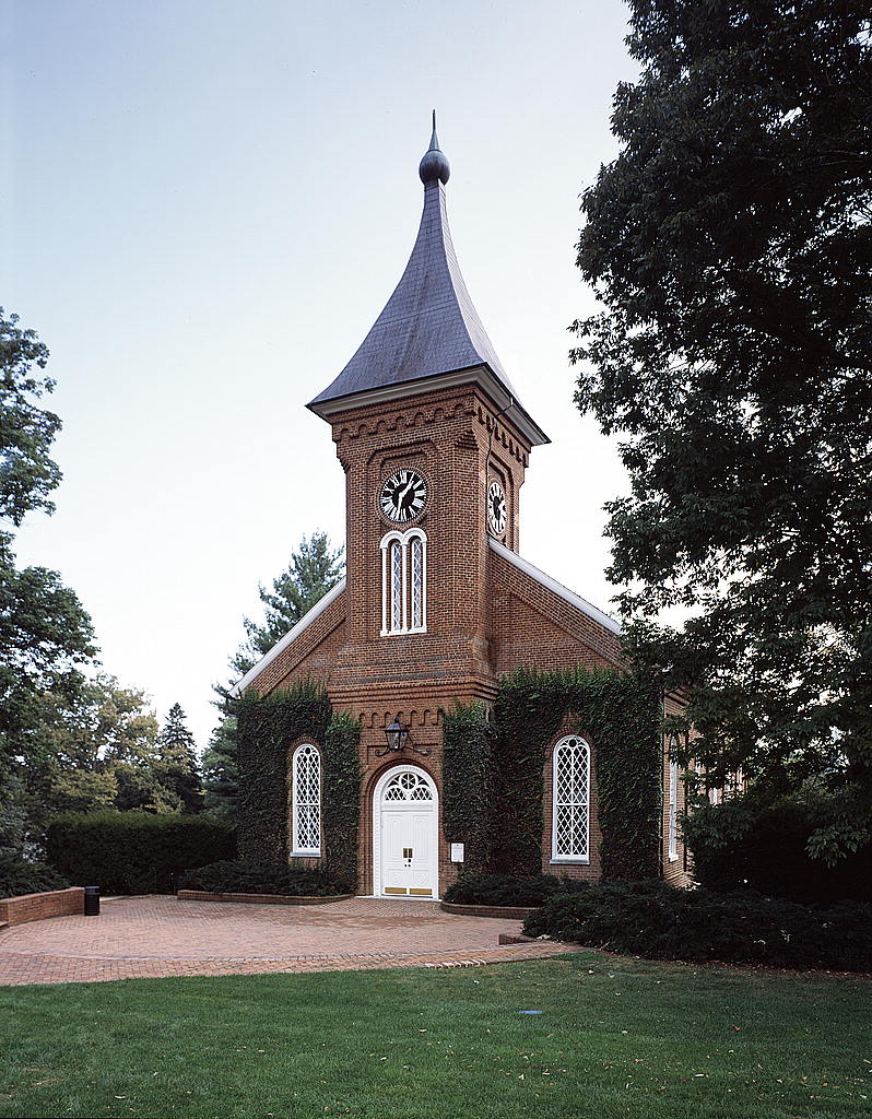
Lexington is an independent city in the Commonwealth of Virginia. At the 2020 census, the population was 7,320. It is the county seat of Rockbridge County, although the two are separate jurisdictions. The Bureau of Economic Analysis combines the city of Lexington (along with nearby Buena Vista) with Rockbridge County for statistical purposes. Lexington is about east of the West Virginia border and is about north of Roanoke, Virginia. It was first settled in 1778. Lexington is the location of the Virginia Military Institute (VMI) and of Washington and Lee University (W&L). City Council History Lexington was named in 1778. It was the first of what would be many American places named after Lexington, Massachusetts, known for being the place at which the first shot was fired in the American Revolution. The Union General David Hunter led a raid on Virginia Military Institute during the American Civil War. Robert E. Lee and Thomas "Stonewall" Jackson are buried in the city ... [...More Info...] [...Related Items...] OR: [Wikipedia] [Google] [Baidu] |
Strait Of Juan De Fuca
The Strait of Juan de Fuca (officially named Juan de Fuca Strait in Canada) is a body of water about long that is the Salish Sea's outlet to the Pacific Ocean. The international boundary between Canada and the United States runs down the centre of the Strait. It was named in 1787 by the maritime fur trader Charles William Barkley, captain of ''Imperial Eagle'', for Juan de Fuca, the Greek navigator who sailed in a Spanish expedition in 1592 to seek the fabled Strait of Anián. Barkley was the first non-indigenous person to find the strait, unless Juan de Fuca's story was true. The strait was explored in detail between 1789 and 1791 by Manuel Quimper, José María Narváez, Juan Carrasco, Gonzalo López de Haro, and Francisco de Eliza. Definition The United States Geological Survey defines the Strait of Juan de Fuca as a channel. It extends east from the Pacific Ocean between Vancouver Island, British Columbia, and the Olympic Peninsula, Washington, to Haro Strait, San Juan Cha ... [...More Info...] [...Related Items...] OR: [Wikipedia] [Google] [Baidu] |
Washington Territory
The Territory of Washington was an organized incorporated territory of the United States that existed from March 2, 1853, until November 11, 1889, when the territory was admitted to the Union as the State of Washington. It was created from the portion of the Oregon Territory north of the lower Columbia River and north of the 46th parallel east of the Columbia. At its largest extent, it also included the entirety of modern Idaho and parts of Montana and Wyoming, before attaining its final boundaries in 1863. History Agitation in favor of self-government developed in the regions of the Oregon Territory north of the Columbia River in 1851–1852. A group of prominent settlers from the Cowlitz and Puget Sound regions met on November 25, 1852, at the "Monticello Convention" in present-day Longview, to draft a petition to the United States Congress calling for a separate territory north of the Columbia River. After gaining approval from the Oregon territorial government, the prop ... [...More Info...] [...Related Items...] OR: [Wikipedia] [Google] [Baidu] |
United States Army Corps Of Engineers
, colors = , anniversaries = 16 June (Organization Day) , battles = , battles_label = Wars , website = , commander1 = LTG Scott A. Spellmon , commander1_label = Chief of Engineers and Commanding General of the U.S. Army Corps of Engineers , commander2 = MGbr>Richard J. Heitkamp, commander2_label = Deputy Chief of Engineers and Deputy Commanding General , commander3 = MGKimberly M. Colloton, commander3_label = Deputy Commanding General for Military and International Operations , commander4 = MGbr>William H. Graham, commander4_label = Deputy Commanding General for Civil and Emergency Operations , commander5 = COLbr>James J. Handura, commander5_label = Chief of Staff for the U.S. Army Corps of Engi ... [...More Info...] [...Related Items...] OR: [Wikipedia] [Google] [Baidu] |
Orange And Alexandria Railroad
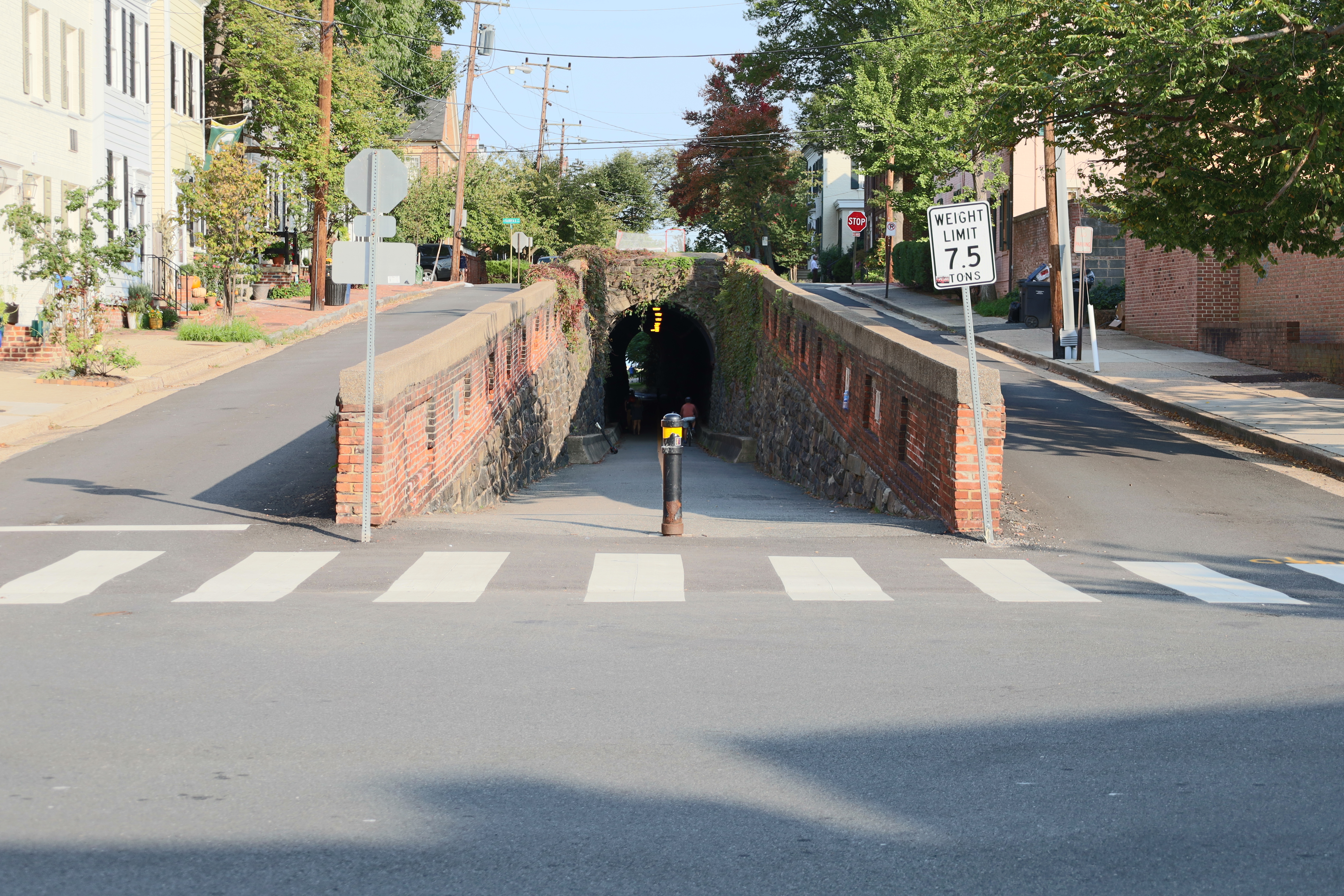
The Orange and Alexandria Railroad (O&A) was a railroad in Virginia, United States. Chartered in 1848, it eventually extended from Alexandria to Gordonsville, with another section from Charlottesville to Lynchburg. The road played a crucial role in the American Civil War, saw the first of many mergers in 1867, and eventually became an important part of the modern-day Norfolk Southern rail system. Antebellum period The Virginia General Assembly issued a charter to the O&A on May 28, 1848, to run from Alexandria to Gordonsville. Construction began in 1850 and was completed in April 1854, when it connected with the Virginia Central Railroad in Orange County. Its longtime president was John S. Barbour Jr., a Virginia lawyer, part-time delegate and son of U.S. Representative John Strode Barbour. In 1854, the General Assembly granted the O&A the right to build southward from Charlottesville to Lynchburg. O&A paid for trackage rights over Virginia Central tracks from Gordonsville ... [...More Info...] [...Related Items...] OR: [Wikipedia] [Google] [Baidu] |
Minnesota
Minnesota () is a state in the upper midwestern region of the United States. It is the 12th largest U.S. state in area and the 22nd most populous, with over 5.75 million residents. Minnesota is home to western prairies, now given over to intensive agriculture; deciduous forests in the southeast, now partially cleared, farmed, and settled; and the less populated North Woods, used for mining, forestry, and recreation. Roughly a third of the state is covered in forests, and it is known as the "Land of 10,000 Lakes" for having over 14,000 bodies of fresh water of at least ten acres. More than 60% of Minnesotans live in the Minneapolis–Saint Paul metropolitan area, known as the "Twin Cities", the state's main political, economic, and cultural hub. With a population of about 3.7 million, the Twin Cities is the 16th largest metropolitan area in the U.S. Other minor metropolitan and micropolitan statistical areas in the state include Duluth, Mankato, Moorhead, Rochester, and ... [...More Info...] [...Related Items...] OR: [Wikipedia] [Google] [Baidu] |
Iowa
Iowa () is a state in the Midwestern region of the United States, bordered by the Mississippi River to the east and the Missouri River and Big Sioux River to the west. It is bordered by six states: Wisconsin to the northeast, Illinois to the east and southeast, Missouri to the south, Nebraska to the west, South Dakota to the northwest, and Minnesota to the north. During the 18th and early 19th centuries, Iowa was a part of French Louisiana and Spanish Louisiana; its state flag is patterned after the flag of France. After the Louisiana Purchase, people laid the foundation for an agriculture-based economy in the heart of the Corn Belt. In the latter half of the 20th century, Iowa's agricultural economy transitioned to a diversified economy of advanced manufacturing, processing, financial services, information technology, biotechnology, and green energy production. Iowa is the 26th most extensive in total area and the 31st most populous of the 50 U.S. states, with a populat ... [...More Info...] [...Related Items...] OR: [Wikipedia] [Google] [Baidu] |
Native Americans In The United States
Native Americans, also known as American Indians, First Americans, Indigenous Americans, and other terms, are the Indigenous peoples of the mainland United States ( Indigenous peoples of Hawaii, Alaska and territories of the United States are generally known by other terms). There are 574 federally recognized tribes living within the US, about half of which are associated with Indian reservations. As defined by the United States Census, "Native Americans" are Indigenous tribes that are originally from the contiguous United States, along with Alaska Natives. Indigenous peoples of the United States who are not listed as American Indian or Alaska Native include Native Hawaiians, Samoan Americans, and the Chamorro people. The US Census groups these peoples as " Native Hawaiian and other Pacific Islanders". European colonization of the Americas, which began in 1492, resulted in a precipitous decline in Native American population because of new diseases, wars, ethni ... [...More Info...] [...Related Items...] OR: [Wikipedia] [Google] [Baidu] |
Cherokee
The Cherokee (; chr, ᎠᏂᏴᏫᏯᎢ, translit=Aniyvwiyaʔi or Anigiduwagi, or chr, ᏣᎳᎩ, links=no, translit=Tsalagi) are one of the indigenous peoples of the Southeastern Woodlands of the United States. Prior to the 18th century, they were concentrated in their homelands, in towns along river valleys of what is now southwestern North Carolina, southeastern Tennessee, edges of western South Carolina, northern Georgia, and northeastern Alabama. The Cherokee language is part of the Iroquoian language group. In the 19th century, James Mooney, an early American ethnographer, recorded one oral tradition that told of the tribe having migrated south in ancient times from the Great Lakes region, where other Iroquoian peoples have been based. However, anthropologist Thomas R. Whyte, writing in 2007, dated the split among the peoples as occurring earlier. He believes that the origin of the proto-Iroquoian language was likely the Appalachian region, and the split betw ... [...More Info...] [...Related Items...] OR: [Wikipedia] [Google] [Baidu] |
Creek (American Indians)
The Muscogee, also known as the Mvskoke, Muscogee Creek, and the Muscogee Creek Confederacy ( in the Muscogee language), are a group of related indigenous (Native American) peoples of the Southeastern WoodlandsTranscribed documents Sequoyah Research Center and the American Native Press Archives in the . Their original homelands are in what now comprises southern , much of , western |
Siege Of Veracruz
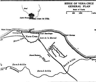
The Battle of Veracruz was a 20-day siege of the key Mexican beachhead seaport of Veracruz during the Mexican–American War. Lasting from March 9–29, 1847, it began with the first large-scale amphibious assault conducted by United States military forces, and ended with the surrender and occupation of the city. U.S. forces then marched inland to Mexico City. Background After the battles of Monterrey and Buena Vista, much of Zachary Taylor's Army of Occupation was transferred to the command of Major General Winfield Scott in support of the upcoming campaign. That campaign, determined by Scott and other Washington officials, would be a Veracruz landing and an advance inland.Bauer, K.J., 1974, ''The Mexican War, 1846–1848'', New York: Macmillan, Mexican military intelligence knew in advance of U.S. plans to attack Veracruz, but internal government turmoil left them powerless to send crucial reinforcements before the American assault commenced. Opposing forces Mexican de ... [...More Info...] [...Related Items...] OR: [Wikipedia] [Google] [Baidu] |


.jpg)


