|
I-5 (big)
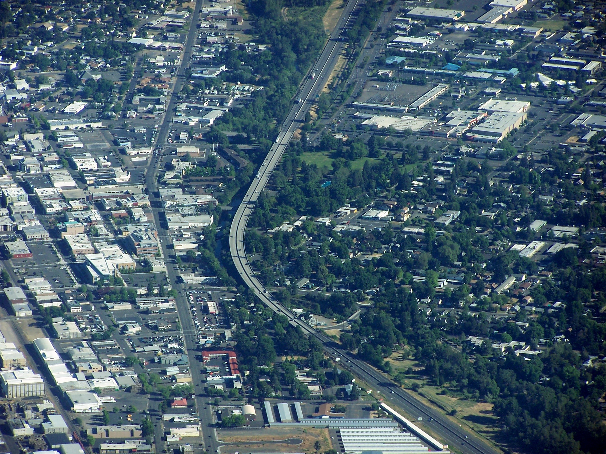
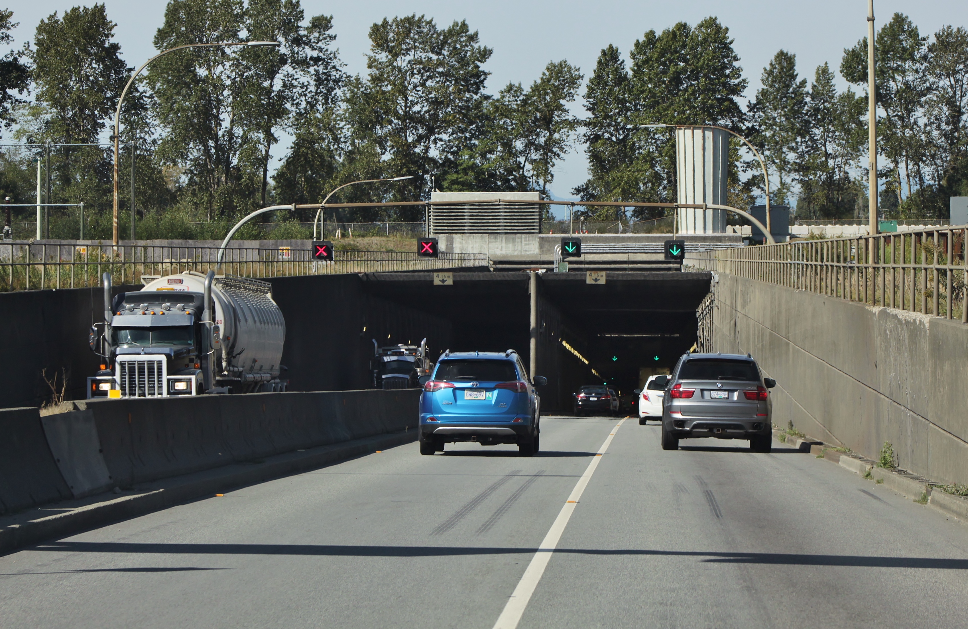
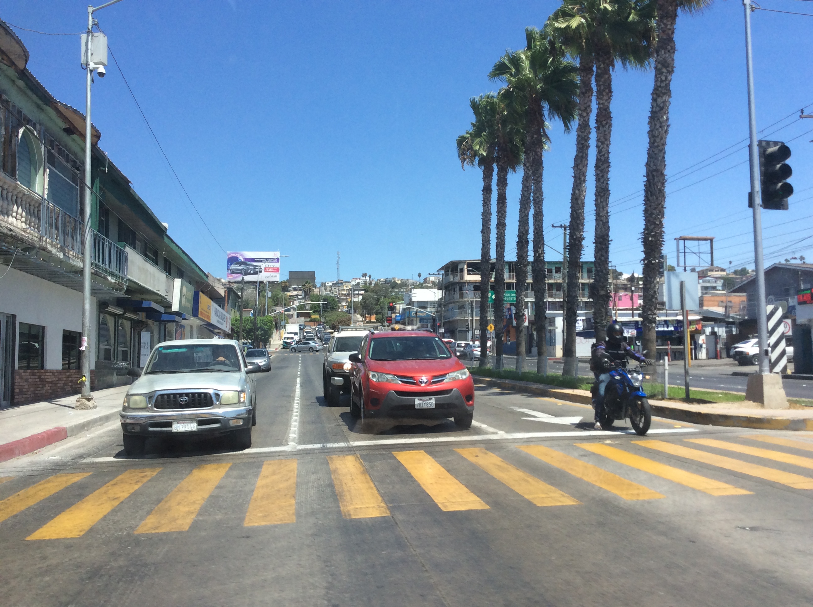
Interstate 5 (I-5) is the main north–south Interstate Highway on the West Coast of the United States, running largely parallel to the Pacific coast of the contiguous U.S. from Mexico to Canada. It travels through the states of California, Oregon, and Washington, serving several large cities on the U.S. West Coast, including San Diego, Los Angeles, Sacramento, Portland, and Seattle. It is the only continuous Interstate highway to touch both the Mexican and the Canadian borders. Upon crossing the Mexican border at its southern terminus, I-5 continues to Tijuana, Baja California, as Mexico Federal Highway 1 (Fed. 1). Upon crossing the Canadian border at its northern terminus, it continues to Vancouver as British Columbia Highway 99 (BC 99). I-5 was originally created in 1956 as part of the Interstate Highway System, but it was predated by several auto trails and highways built in the early 20th century. The Pacific Highway auto trail was built ... [...More Info...] [...Related Items...] OR: [Wikipedia] [Google] [Baidu] |
Federal Highway Administration
The Federal Highway Administration (FHWA) is a division of the United States Department of Transportation that specializes in highway transportation. The agency's major activities are grouped into two programs, the Federal-aid Highway Program and the Federal Lands Highway Program. Its role had previously been performed by the Office of Road Inquiry, Office of Public Roads and the Bureau of Public Roads. History Background The organization has several predecessor organizations and complicated history. The Office of Road Inquiry (ORI) was founded in 1893. In 1905, that organization's name was changed to the Office of Public Roads (OPR) which became a division of the United States Department of Agriculture. The name was changed again to the Bureau of Public Roads in 1915 and to the Public Roads Administration (PRA) in 1939. It was then shifted to the Federal Works Agency which was abolished in 1949 when its name reverted to Bureau of Public Roads under the Department of Commerce ... [...More Info...] [...Related Items...] OR: [Wikipedia] [Google] [Baidu] |
West Coast Of The United States
The West Coast of the United States, also known as the Pacific Coast, Pacific states, and the western seaboard, is the coastline along which the Western United States meets the North Pacific Ocean. The term typically refers to the contiguous U.S. states of California, Oregon, and Washington, but sometimes includes Alaska and Hawaii, especially by the United States Census Bureau as a U.S. geographic division. Definition There are conflicting definitions of which states comprise the West Coast of the United States, but the West Coast always includes California, Oregon, and Washington as part of that definition. Under most circumstances, however, the term encompasses the three contiguous states and Alaska, as they are all located in North America. For census purposes, Hawaii is part of the West Coast, along with the other four states. ''Encyclopædia Britannica'' refers to the North American region as part of the Pacific Coast, including Alaska and British Columbia. Although the enc ... [...More Info...] [...Related Items...] OR: [Wikipedia] [Google] [Baidu] |
Interstate 5 In Washington
Interstate 5 (I-5) is an Interstate Highway on the West Coast of the United States that serves as the region's primary north–south route. It spans across the state of Washington, from the Oregon state border at Vancouver, through the Puget Sound region, to the Canadian border at Blaine. Within the Seattle metropolitan area, the freeway connects the cities of Tacoma, Seattle, and Everett. I-5 is the only interstate to traverse the whole state from north to south and is Washington's busiest highway, with an average of 274,000 vehicles traveling on it through Downtown Seattle on a typical day. The segment in Downtown Seattle is also among the widest freeways in the United States, at 13 lanes, and includes a set of express lanes that reverse direction depending on time of the day. Most of the freeway is four lanes in rural areas and six to eight lanes in suburban areas, utilizing a set of high-occupancy vehicle lanes in the latter. I-5 also has three related auxiliary In ... [...More Info...] [...Related Items...] OR: [Wikipedia] [Google] [Baidu] |
Interstate 5 In Oregon
Interstate 5 (I-5) in the U.S. state of Oregon is a major Interstate Highway that traverses the state from north to south. It travels to the west of the Cascade Mountains, connecting Portland to Salem, Eugene, Medford, and other major cities in the Willamette Valley and across the northern Siskiyou Mountains. The highway runs from the California state line near Ashland to the Washington state line in northern Portland, forming the central part of Interstate 5's route between Mexico and Canada. I-5 was designated in 1957 and replaced U.S. Route 99 (US 99) for most of its length, itself preceded by the Pacific Highway and various wagon roads. The freeway incorporated early bypasses and expressways built for US 99 in the 1950s, including a new freeway route from Portland to Salem, and additional bypasses were built using federal funds. The last segment of I-5, on the Marquam Bridge in Portland, was opened in October 1966 and the whole highway was dedicated later t ... [...More Info...] [...Related Items...] OR: [Wikipedia] [Google] [Baidu] |
Interstate 5 In California
Interstate 5 (I-5) is a major north–south route of the Interstate Highway System in the United States, stretching from the Mexican border at the San Ysidro crossing to the Canadian border near Blaine, Washington. The segment of I-5 in California runs across the length of the state from San Ysidro to the Oregon state line south of the Medford- Ashland metropolitan area. It is the longest interstate in California, and accounts for more than half of I-5's total length. It is the more important and most-used of the two major north–south routes on the Pacific Coast, the other being U.S. Route 101 (US 101), which is primarily coastal. I-5 links the major California cities of San Diego, Santa Ana, Los Angeles, Stockton, Sacramento, and Redding. The San Francisco Bay Area is about west of the highway. I-5 is known colloquially as "the 5" to Southern California residents and "5" to Northern California residents due to varieties in California English. I-5 als ... [...More Info...] [...Related Items...] OR: [Wikipedia] [Google] [Baidu] |
Central Valley (California)
The Central Valley is a broad, elongated, flat valley that dominates the interior of California. It is wide and runs approximately from north-northwest to south-southeast, inland from and parallel to the Pacific coast of the state. It covers approximately , about 11% of California's land area. The valley is bounded by the Coast Ranges The Pacific Coast Ranges (officially gazetted as the Pacific Mountain System in the United States) are the series of mountain ranges that stretch along the West Coast of North America from Alaska south to Northern and Central Mexico. Although th ... to the west and the Sierra Nevada to the east. The Central Valley is a list of regions of California, region known for its agricultural productivity: it provides more than half of the fruits, vegetables, and nuts grown in the United States. More than of the valley are irrigated via reservoirs and canals. The valley hosts many cities, including the state capital Sacramento, California, Sacramento ... [...More Info...] [...Related Items...] OR: [Wikipedia] [Google] [Baidu] |
Pacific Highway (United States)
Pacific Highway is the name of several north–south highways in the Pacific Coast region of the Western United States, either by legislation officially designating it as such or by common usage. Description Good roads advocate and road-building pioneer Sam Hill was perhaps the main motivating force behind building the original Pacific Highway as a "national auto trail"; from Blaine, Washington, on the Canada–US border, where he would build his Peace Arch, through Oregon to the Siskiyou Mountains of northwestern California. The road was built in the early 20th century—long before the United States Numbered Highway System was established. In 1926, its of pavement made it the longest continuous stretch of paved road in the world at the time. The Pacific Highway later extended north to Vancouver, British Columbia, and south through San Francisco to San Diego in Southern California. The Pacific Highway auto trail became British Columbia Highway 99 from Vancouver to the Can ... [...More Info...] [...Related Items...] OR: [Wikipedia] [Google] [Baidu] |
Auto Trail
The system of auto trails was an informal network of marked routes that existed in the United States and Canada in the early part of the 20th century. Marked with colored bands on utility poles, the trails were intended to help travellers in the early days of the automobile. Auto trails were usually marked and sometimes maintained by organizations of private individuals. Some, such as the Lincoln Highway, maintained by the Lincoln Highway Association, were well-known and well-organized, while others were the work of fly-by-night promoters, to the point that anyone with enough paint and the will to do so could set up a trail. Trails were not usually linked to road improvements, although counties and states often prioritized road improvements because they were on trails. In the mid-to-late 1920s, the auto trails were essentially replaced with the United States Numbered Highway System. The Canadian provinces had also begun implementing similar numbering schemes. List of aut ... [...More Info...] [...Related Items...] OR: [Wikipedia] [Google] [Baidu] |
British Columbia Highway 99
Highway 99 is a provincial highway in British Columbia that serves Greater Vancouver and the Squamish–Lillooet corridor over a length of . It is a major north–south artery within Vancouver and connects the city to several suburbs as well as the U.S. border, where it continues south as Interstate 5. The central section of the route, also known as the Sea to Sky Highway, serves the communities of Squamish, Whistler, and Pemberton. Highway 99 continues through Lillooet and ends at a junction with Highway 97 near Cache Creek. The highway's number, assigned in 1940, was derived from former U.S. Route 99, the predecessor to Interstate 5 and a major route for the U.S. West Coast. Highway 99 originally comprised the King George Highway in Surrey, portions of Kingsway from New Westminster to Vancouver, and local streets. It was extended across the Lions Gate Bridge and to Horseshoe Bay in the 1950s along a new highway that would later be incorporated into Highway 1 (the ... [...More Info...] [...Related Items...] OR: [Wikipedia] [Google] [Baidu] |
Vancouver
Vancouver ( ) is a major city in western Canada, located in the Lower Mainland region of British Columbia. As the List of cities in British Columbia, most populous city in the province, the 2021 Canadian census recorded 662,248 people in the city, up from 631,486 in 2016. The Greater Vancouver, Greater Vancouver area had a population of 2.6million in 2021, making it the List of census metropolitan areas and agglomerations in Canada#List, third-largest metropolitan area in Canada. Greater Vancouver, along with the Fraser Valley Regional District, Fraser Valley, comprises the Lower Mainland with a regional population of over 3 million. Vancouver has the highest population density in Canada, with over 5,700 people per square kilometre, and fourth highest in North America (after New York City, San Francisco, and Mexico City). Vancouver is one of the most Ethnic origins of people in Canada, ethnically and Languages of Canada, linguistically diverse cities in Canada: 49.3 percent of ... [...More Info...] [...Related Items...] OR: [Wikipedia] [Google] [Baidu] |
Mexico Federal Highway 1
Federal Highway 1 ( es, Carretera Federal 1, Fed. 1) is a free (libre) part of the federal highway corridors () of Mexico, and the highway follows the length of the Baja California Peninsula from Tijuana, Baja California, in the north to Cabo San Lucas, Baja California Sur, in the south. The road connects with ''Via Rapida'', which merges into the American Interstate 5 (I-5) at the San Ysidro Port of Entry, which crosses the international border south of San Ysidro, California. Fed. 1 is often called the ''Carretera Transpeninsular'' (Transpeninsular Highway) and runs a length of from Tijuana to Cabo San Lucas. Most of its course, particularly south of Ensenada, is as a two-lane rural highway. Completed in 1973, Fed. 1's official name is the Benito Juárez Transpeninsular Highway (), named in honor of Mexico's president during the country's 1860s invasion by France. Route description The road begins in the border city of Tijuana, where it continues northward ... [...More Info...] [...Related Items...] OR: [Wikipedia] [Google] [Baidu] |
Tijuana
Tijuana ( ,"Tijuana" (US) and ), known also by the initials T.J., is a city and municipal seat of , , located on the . It is part of the San Diego-Tijuana metro area and the larger [...More Info...] [...Related Items...] OR: [Wikipedia] [Google] [Baidu] |


.jpg)


.jpg)