|
Hochkopf (Southern Black Forest)
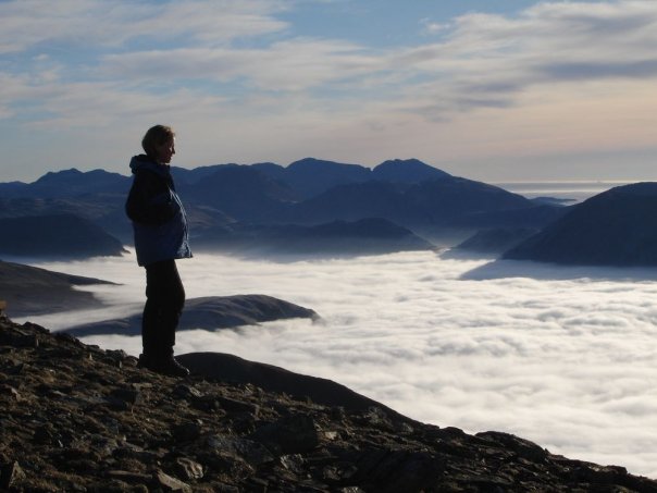
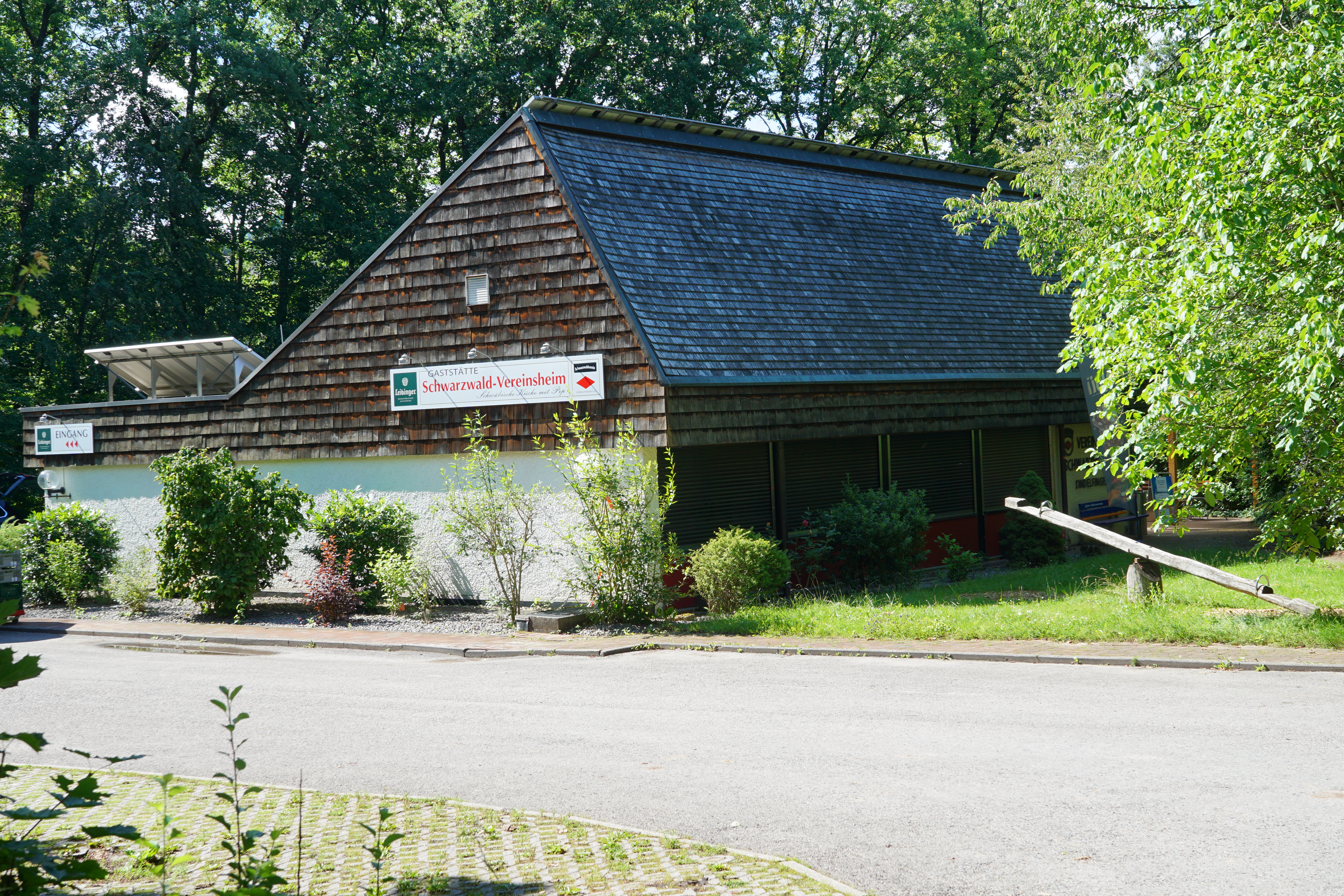
The Hochkopf is a wooded ridge north of the village of Todtmoos in the southern part of the High Black Forest. At its summit is one of the 20 highest points in the German state of Baden-Württemberg. The boundary between Todtmoos and the village of Präg (Todtnau), Präg in the borough of Todtnau runs over the mountain. The Hochkopf forms an east-west mountain ridge that forms the southern side of the Präg Cirque. Above the walls of the cirque the mountain ridges are as sharp as arete (ridge), aretes in places. The region around the Hochkopf is especially quiet and peaceful. On the summit of the Hochkopf a small observation tower, the Hochkopf Tower (''Hochkopfturm'') was built in 1925. Further down the mountain on the West Way (Black Forest), West Way (eastern route) stands the ''Hochkopfhaus'', formerly a hiking hut owned by the Black Forest Club, but today a private hotel. During weather inversions here there are clear views of the Alps from the Zugspitze to Mont Blanc. The ... [...More Info...] [...Related Items...] OR: [Wikipedia] [Google] [Baidu] |
Black Forest
The Black Forest (german: Schwarzwald ) is a large forested mountain range in the state of Baden-Württemberg in southwest Germany, bounded by the Rhine Valley to the west and south and close to the borders with France and Switzerland. It is the source of the Danube and Neckar rivers. Its highest peak is the Feldberg with an elevation of above sea level. Roughly oblong in shape, with a length of and breadth of up to , it has an area of about 6,009 km2 (2,320 sq mi). Historically, the area was known for forestry and the mining of ore deposits, but tourism has now become the primary industry, accounting for around 300,000 jobs. There are several ruined military fortifications dating back to the 17th century. History In ancient times, the Black Forest was known as , after the Celtic deity, Abnoba. In Roman times (Late antiquity), it was given the name ("Marcynian Forest", from the Germanic word ''marka'' = "border"). The Black Forest probably represented the bo ... [...More Info...] [...Related Items...] OR: [Wikipedia] [Google] [Baidu] |
West Way (Black Forest)
The Westweg ("West Way" or "West Trail") is a long-distance hiking trail in Germany, running north–south through the Black Forest from Pforzheim to Basel. The trail is around 285 km long, and was founded in 1900. It is currently maintained under the auspices of the Black Forest Club. The trail symbol is a red lozenge on a white background. The Westweg is a part of the European Long-distance Trail E1 (North Cape, Norway - Sicily) The route passes through or near numerous villages or small towns, so there is no difficulty in finding overnight accommodation and meals along the route. It would actually require more planning to walk it while staying in youth hostel-type accommodation, or camping. There are a number of services that will transport your luggage to the next accommodation by vehicle, leaving the hikers with only their daypacks for the hike. The route can be accessed at several places along its length by road or public transport, so it is easy to walk part of ... [...More Info...] [...Related Items...] OR: [Wikipedia] [Google] [Baidu] |
Belchen (Schwarzwald)
The Belchen, , or Black Forest Belchen (german: Schwarzwälder Belchen) is the fourth-highest summit of the Black Forest after Feldberg, Seebuck and Herzogenhorn. The municipalities of Münstertal, Schönenberg and Kleines Wiesental meet on the summit dome of Belchen which is located in the southwest German state of Baden-Württemberg. Geography The Belchen, with its furrowed, unbroken rock faces, rises 1,000 metres out of the Münstertal valley. Its north face is thus the area of highest relief energy in the German Central Uplands. Even towards the south the mountain drops steeply, its ''schrofen'' slopes descending 800 metres into the valley bowl of the Little Wiese near Neuenweg. The large expanse of rolling plateau in the eastern Black Forest has only survived in small places at the Belchen. Towards the Rhine Plain and the Blauen mountain the western main crest of the southern Black Forest has been cut into narrow ridges as a result of the marked uplift of ... [...More Info...] [...Related Items...] OR: [Wikipedia] [Google] [Baidu] |
Feldberg (Berg Im Schwarzwald)
At the Feldberg in the Black Forest is the highest mountain in Baden-Württemberg, and the highest in Germany outside of the Alps. The local municipality of Feldberg was named after the mountain. Environment The Feldberg is situated southeast of Freiburg im Breisgau and is surrounded by the municipalities of Hinterzarten (northeast), Titisee (east), Menzenschwand (south), Bernau (also south) and Todtnau (southwest). About two kilometres southeast of the summit lies the village of Feldberg (). Between the main peak (, also known as the ''Höchste'' or "Highest", and its subpeak, the Seebuck (), just under away, is a saddle, the ''Grüble'', from which a wide spur, the Baldenweger Buck () branches off. The saddle initially descends gently and then ever more steeply into the valleys on either side. From the Seebuck the Feldberg drops steeply away to the northeast into the Feldsee, a lake of glacial origin at about altitude. Deeply incised valleys run northwest towards Freib ... [...More Info...] [...Related Items...] OR: [Wikipedia] [Google] [Baidu] |
Mont Blanc
Mont Blanc (french: Mont Blanc ; it, Monte Bianco , both meaning "white mountain") is the highest mountain in the Alps and Western Europe, rising above sea level. It is the second-most prominent mountain in Europe, after Mount Elbrus, and it is the eleventh most prominent mountain summit in the world. It gives its name to the Mont Blanc massif which straddles parts of France, Italy and Switzerland. Mont Blanc's summit lies on the watershed line between the valleys of Ferret and Veny in Italy, and the valleys of Montjoie, and Arve in France. Ownership of the summit area has long been a subject of dispute between France and Italy. The Mont Blanc massif is popular for outdoor activities like hiking, climbing, trail running and winter sports like skiing, and snowboarding. The most popular climbing route to the summit of Mont Blanc is the Goûter Route, which typically takes two days. The three towns and their communes which surround Mont Blanc are Courmayeur in Aost ... [...More Info...] [...Related Items...] OR: [Wikipedia] [Google] [Baidu] |
Zugspitze
The Zugspitze (), at above sea level, is the highest peak of the Wetterstein Mountains as well as the highest mountain in Germany. It lies south of the town of Garmisch-Partenkirchen, and the Austria–Germany border runs over its western summit. South of the mountain is the ''Zugspitzplatt'', a high karst plateau with numerous caves. On the flanks of the Zugspitze are three glaciers, including the two largest in Germany: the Northern Schneeferner with an area of 30.7 hectares and the Höllentalferner with an area of 24.7 hectares. The third is the Southern Schneeferner which covers 8.4 hectares. The Zugspitze was first climbed on 27 August 1820 by Josef Naus, his survey assistant, Maier, and mountain guide, Johann Georg Tauschl. Today there are three normal routes to the summit: one from the Höllental valley to the northeast; another out of the Reintal valley to the southeast; and the third from the west over the Austrian Cirque (''Österreichische Schneekar''). One ... [...More Info...] [...Related Items...] OR: [Wikipedia] [Google] [Baidu] |
Alps
The Alps () ; german: Alpen ; it, Alpi ; rm, Alps ; sl, Alpe . are the highest and most extensive mountain range system that lies entirely in Europe, stretching approximately across seven Alpine countries (from west to east): France, Switzerland, Italy, Liechtenstein, Austria, Germany, and Slovenia. The Alpine arch generally extends from Nice on the western Mediterranean to Trieste on the Adriatic and Vienna at the beginning of the Pannonian Basin. The mountains were formed over tens of millions of years as the African and Eurasian tectonic plates collided. Extreme shortening caused by the event resulted in marine sedimentary rocks rising by thrust fault, thrusting and Fold (geology), folding into high mountain peaks such as Mont Blanc and the Matterhorn. Mont Blanc spans the French–Italian border, and at is the highest mountain in the Alps. The Alpine region area contains 128 peaks higher than List of Alpine four-thousanders, . The altitude and size of the range af ... [...More Info...] [...Related Items...] OR: [Wikipedia] [Google] [Baidu] |
Weather Inversion
In meteorology, an inversion is a deviation from the normal change of an atmospheric property with altitude. It almost always refers to an inversion of the air temperature lapse rate, in which case it is called a temperature inversion. Normally, air temperature decreases with an increase in altitude, but during an inversion warmer air is held above cooler air. An inversion traps air pollution, such as smog, close to the ground. An inversion can also suppress convection by acting as a "cap". If this cap is broken for any of several reasons, convection of any moisture present can then erupt into violent thunderstorm A thunderstorm, also known as an electrical storm or a lightning storm, is a storm characterized by the presence of lightning and its acoustic effect on the Earth's atmosphere, known as thunder. Relatively weak thunderstorms are some ...s. Temperature inversion can notoriously result in freezing rain in cold climates. Normal atmospheric conditi ... [...More Info...] [...Related Items...] OR: [Wikipedia] [Google] [Baidu] |
Black Forest Club
The Schwarzwaldverein (Black Forest Club or Black Forest Association) was founded in Freiburg im Breisgau (Germany) in 1864, making it the oldest German hiking and mountaineering club. The Schwarzwaldverein has almost 90,000 members in 241 local chapters. Activities of the club include hiking, environmental protection, the promotion of local culture ('' Heimatpflege''), trail maintenance, and family and youth work projects in the Black Forest. Organisation The Schwarzwaldverein consists of the main association and 241 independent local member chapters. The local chapters are organized into 17 regions, and have a membership of almost 90,000 members. The executive committee consists of three members, and the current president is Eugen Dieterle. In addition to the executive committee, there are nine divisional officers, each of whom is responsible for coordinating specific parts of the club's activities. The main offices are in Freiburg. Trail Maintenance The Schwarzwaldv ... [...More Info...] [...Related Items...] OR: [Wikipedia] [Google] [Baidu] |
Observation Tower
An observation tower is a structure used to view events from a long distance and to create a full 360 degree range of vision to conduct long distance observations. Observation towers are usually at least tall and are made from stone, iron, and wood. Many modern towers are also used as TV towers, restaurants, or churches. The towers first appeared in the ancient world, as long ago as the Babylonian Empire. Observation towers that are used as guard posts or observation posts over an extended period to overlook an area are commonly called watchtowers instead. Construction and usage Observation towers are an easily visible sight on the countryside, as they must rise over trees and other obstacles to ensure clear vision. Older control rooms have often been likened to medieval chambers. The heavy use of stone, iron, and wood in their construction helps to create this illusion. Modern towers frequently have observation decks or terraces with restaurants or on the roof of mountain st ... [...More Info...] [...Related Items...] OR: [Wikipedia] [Google] [Baidu] |
Todtmoos
Todtmoos is a village and municipality in the district of Waldshut in the southern part of Baden-Württemberg, Germany Germany,, officially the Federal Republic of Germany, is a country in Central Europe. It is the second most populous country in Europe after Russia, and the most populous member state of the European Union. Germany is situated betwe .... References External links *Images & Information Waldshut (district) Baden {{Waldshut-geo-stub ... [...More Info...] [...Related Items...] OR: [Wikipedia] [Google] [Baidu] |


