|
Henry Greathead
Henry Francis Greathead (1757–1818) was a pioneering rescue lifeboat builder from South Shields. Although Lionel Lukin had patented a lifeboat in 1785, Greathead successfully petitioned parliament in 1802 with the claim that he had invented a lifeboat in 1790, and he was awarded £1,200 for his trouble. Although his claims have been contested, he did build 31 boats, which saved very many lives, and succeeded in making the concept of a shore-based rescue lifeboat widely accepted. Early life He was born on 27 January 1757 in Richmond, North Yorkshire, but the family moved to South Shields in 1763. His father was well off, having been in public service for 46 years, as an officer of salt duties and later as supervisor and comptroller of the district. Henry received the best education available in the area, then served an apprenticeship in boat building. In 1778 he took a position as a ship's carpenter. The next year he was shipwrecked near Calais and on his return to England na ... [...More Info...] [...Related Items...] OR: [Wikipedia] [Google] [Baidu] |
Lifeboat (rescue)
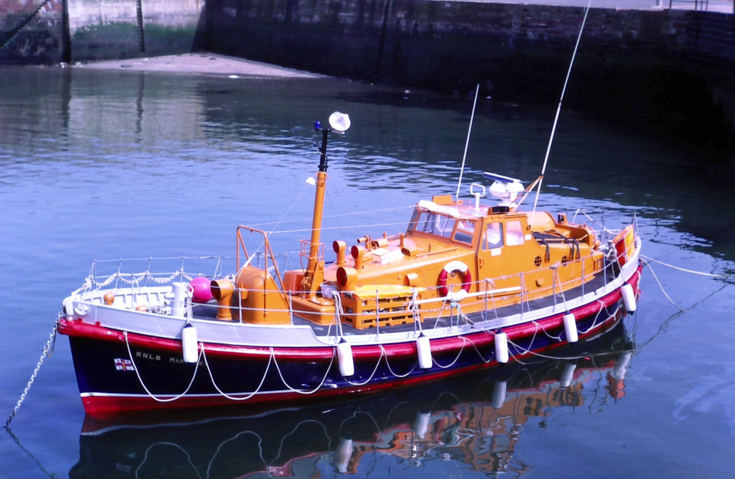
A rescue lifeboat is a boat rescue craft which is used to attend a vessel in distress, or its survivors, to rescue crew and passengers. It can be hand pulled, sail powered or powered by an engine. Lifeboats may be rigid, inflatable or rigid-inflatable combination-hulled vessels. Overview There are generally three types of boat, in-land (used on lakes and rivers), in-shore (used closer to shore) and off-shore (into deeper waters and further out to sea). A rescue lifeboat is a boat designed with specialised features for searching for, rescuing and saving the lives of people in peril at sea or in estuaries. In the United Kingdom and Ireland rescue lifeboats are typically vessels crewed by volunteers, intended for quick dispatch, launch and transit to reach a ship or individuals in trouble at sea. Off-shore boats are referred to as 'All-weather' and generally have a range of 150–250 nautical miles. Characteristics such as capability to withstand heavy weather, fuel capacity, navi ... [...More Info...] [...Related Items...] OR: [Wikipedia] [Google] [Baidu] |
Oporto
Porto or Oporto () is the second-largest city in Portugal, the capital of the Porto District, and one of the Iberian Peninsula's major urban areas. Porto city proper, which is the entire municipality of Porto, is small compared to its metropolitan area, with an estimated population of just 231,800 people in a municipality with only 41.42 km2. Porto's metropolitan area has around 1.7 million people (2021) in an area of ,Demographia: World Urban Areas March 2010 making it the second-largest urban area in Portugal. It is recognized as a global city with a Gamma + rating from the |
Redcar
Redcar is a seaside town on the Yorkshire Coast in the Redcar and Cleveland unitary authority in the county of North Yorkshire, England. It is located east of Middlesbrough. The Teesside built-up area's Redcar subdivision had a population of 37,073 at the 2011 UK Census, 2011 Census. The town is made up of Coatham, Dormanstown, Kirkleatham, Newcomen, West Dyke, Wheatlands and Zetland. It gained a town charter in 1922, from then until 1968 it was governed by the municipal borough of Redcar. Since the abolition of County Borough of Teesside, which existed from 1968 until 1974, the town has been Unparished area, unparished. History Origins Redcar occupies a low-lying site by the sea; the second element of its name is from Old Norse ''kjarr'', meaning 'marsh', and the first may be either Old English (Anglo-Saxon) ''rēad'' meaning 'red' or OE ''hrēod'' 'reed'. The town originated as a fishing hamlet in the 14th century, trading with the larger adjacent hamlet of Coatham ... [...More Info...] [...Related Items...] OR: [Wikipedia] [Google] [Baidu] |
Gothenburg
Gothenburg (; abbreviated Gbg; sv, Göteborg ) is the second-largest city in Sweden, fifth-largest in the Nordic countries, and capital of the Västra Götaland County. It is situated by the Kattegat, on the west coast of Sweden, and has a population of approximately 590,000 in the city proper and about 1.1 million inhabitants in the metropolitan area. Gothenburg was founded as a heavily fortified, primarily Dutch, trading colony, by royal charter in 1621 by King Gustavus Adolphus. In addition to the generous privileges (e.g. tax relaxation) given to his Dutch allies from the ongoing Thirty Years' War, the king also attracted significant numbers of his German and Scottish allies to populate his only town on the western coast. At a key strategic location at the mouth of the Göta älv, where Scandinavia's largest drainage basin enters the sea, the Port of Gothenburg is now the largest port in the Nordic countries. Gothenburg is home to many students, as the city includes ... [...More Info...] [...Related Items...] OR: [Wikipedia] [Google] [Baidu] |
Cromer
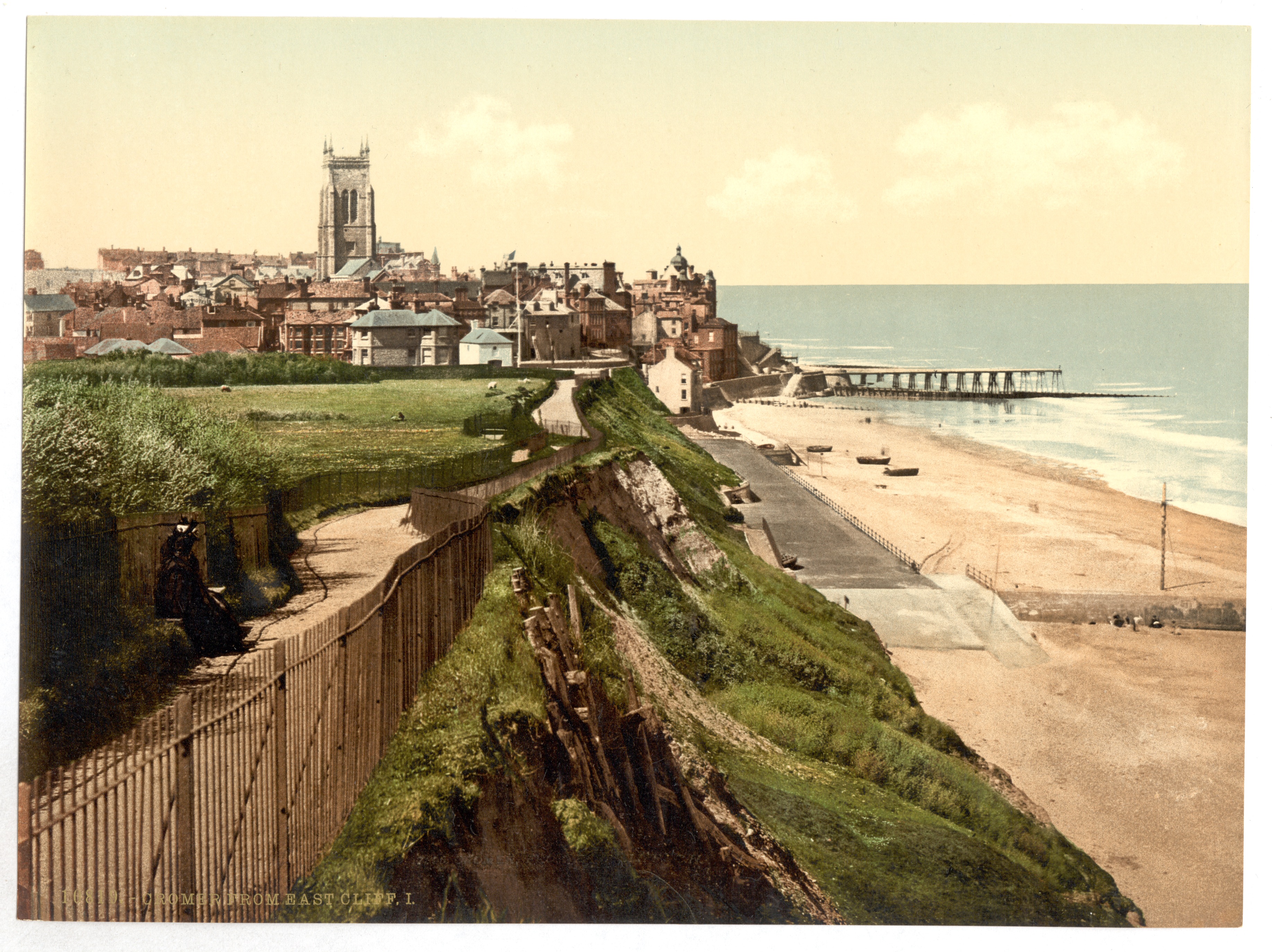
Cromer ( ) is a coastal town and civil parish on the north coast of the English county of Norfolk. It is north of Norwich, north-northeast of London and east of Sheringham on the North Sea coastline. The local government authorities are North Norfolk District Council, whose headquarters is on Holt Road in the town, and Norfolk County Council, based in Norwich. The civil parish has an area of and at the 2011 census had a population of 7,683. The town is notable as a traditional tourist resort and for the Cromer crab, which forms the major source of income for local fishermen. The motto ''Gem of the Norfolk Coast'' is highlighted on the town's road signs. History The town has given its name to the ''Cromerian Stage'' or ''Cromerian Complex'', also called the ''Cromerian'', a stage in the Pleistocene glacial history of north-western Europe. Cromer is not mentioned in the ''Domesday Book'' of 1086. The place-name 'Cromer' is first found in a will of 1262 and could mean 'C ... [...More Info...] [...Related Items...] OR: [Wikipedia] [Google] [Baidu] |
Gdańsk
Gdańsk ( , also ; ; csb, Gduńsk;Stefan Ramułt, ''Słownik języka pomorskiego, czyli kaszubskiego'', Kraków 1893, Gdańsk 2003, ISBN 83-87408-64-6. , Johann Georg Theodor Grässe, ''Orbis latinus oder Verzeichniss der lateinischen Benennungen der bekanntesten Städte etc., Meere, Seen, Berge und Flüsse in allen Theilen der Erde nebst einem deutsch-lateinischen Register derselben''. T. Ein Supplement zu jedem lateinischen und geographischen Wörterbuche. Dresden: G. Schönfeld’s Buchhandlung (C. A. Werner), 1861, p. 71, 237.); Stefan Ramułt, ''Słownik języka pomorskiego, czyli kaszubskiego'', Kraków 1893, Gdańsk 2003, ISBN 83-87408-64-6. * , )Johann Georg Theodor Grässe, ''Orbis latinus oder Verzeichniss der lateinischen Benennungen der bekanntesten Städte etc., Meere, Seen, Berge und Flüsse in allen Theilen der Erde nebst einem deutsch-lateinischen Register derselben''. T. Ein Supplement zu jedem lateinischen und geographischen Wörterbuche. Dresden: G. Schönf ... [...More Info...] [...Related Items...] OR: [Wikipedia] [Google] [Baidu] |
Cronstadt
Kronstadt (russian: Кроншта́дт, Kronshtadt ), also spelled Kronshtadt, Cronstadt or Kronštádt (from german: link=no, Krone for "crown" and ''Stadt'' for "city") is a Russian port city in Kronshtadtsky District of the federal city of Saint Petersburg, located on Kotlin Island, west of Saint Petersburg, near the head of the Gulf of Finland. It is linked to the former Russian capital by a combination levee-causeway-seagate, the St Petersburg Dam, part of the city's flood defences, which also acts as road access to Kotlin island from the mainland. Founded in the early 18th century by Peter the Great, it became an important international centre of commerce whose trade role was later eclipsed by its strategic significance as the primary maritime defence outpost of the former Russian capital. Kaplan, 1995 The main base of the Russian Baltic Fleet was located in Kronstadt, guarding the approaches to Saint Petersburg. In March 1921, the island city was the site of the Kronsta ... [...More Info...] [...Related Items...] OR: [Wikipedia] [Google] [Baidu] |
Aberdeen
Aberdeen (; sco, Aiberdeen ; gd, Obar Dheathain ; la, Aberdonia) is a city in North East Scotland, and is the third most populous city in the country. Aberdeen is one of Scotland's 32 local government council areas (as Aberdeen City), and has a population estimate of for the city of Aberdeen, and for the local council area making it the United Kingdom's 39th most populous built-up area. The city is northeast of Edinburgh and north of London, and is the northernmost major city in the United Kingdom. Aberdeen has a long, sandy coastline and features an oceanic climate, with cool summers and mild, rainy winters. During the mid-18th to mid-20th centuries, Aberdeen's buildings incorporated locally quarried grey granite, which may sparkle like silver because of its high mica content. Since the discovery of North Sea oil in 1969, Aberdeen has been known as the offshore oil capital of Europe. Based upon the discovery of prehistoric villages around the mouths of the rivers ... [...More Info...] [...Related Items...] OR: [Wikipedia] [Google] [Baidu] |
St Andrews
St Andrews ( la, S. Andrea(s); sco, Saunt Aundraes; gd, Cill Rìmhinn) is a town on the east coast of Fife in Scotland, southeast of Dundee and northeast of Edinburgh. St Andrews had a recorded population of 16,800 , making it Fife's fourth-largest settlement and 45th most populous settlement in Scotland. The town is home to the University of St Andrews, the third oldest university in the English-speaking world and the oldest in Scotland. It was ranked as the best university in the UK by the 2022 Good University Guide, which is published by ''The Times'' and ''The Sunday Times''. According to other rankings, it is ranked as one of the best universities in the United Kingdom. The town is named after Saint Andrew the Apostle. The settlement grew to the west of St Andrews Cathedral, with the southern side of the Scores to the north and the Kinness Burn to the south. The burgh soon became the ecclesiastical capital of Scotland, a position which was held until the Scottish ... [...More Info...] [...Related Items...] OR: [Wikipedia] [Google] [Baidu] |
Lowestoft
Lowestoft ( ) is a coastal town and civil parish in the East Suffolk district of Suffolk, England.OS Explorer Map OL40: The Broads: (1:25 000) : . As the most easterly UK settlement, it is north-east of London, north-east of Ipswich and south-east of Norwich, and the main town in its district. The estimated population in the built-up area exceeds 70,000. Its development grew with the fishing industry and as a seaside resort with wide sandy beaches. As fishing declined, oil and gas exploitation in the North Sea in the 1960s took over. While these too have declined, Lowestoft is becoming a regional centre of the renewable energy industry. History Some of the earliest signs of settlement in Britain have been found here. Flint tools discovered in the Pakefield cliffs of south Lowestoft in 2005 allow human habitation of the area to be traced back 700,000 years.S. Parfitt et al. (2006'700,000 years old: found in Pakefield', ''British Archaeology'', January/February 2006. Retrieve ... [...More Info...] [...Related Items...] OR: [Wikipedia] [Google] [Baidu] |
Newhaven, East Sussex
Newhaven is a port town in East Sussex in England, lying at the mouth of the River Ouse. The town developed during the Middle Ages as the nearby port of Seaford began drying up, forcing a new port to be established. A sheltered harbour was built in the mid-16th century, and a breakwater in the late 18th, to provide continued access to the sea. Newhaven increased in importance following the arrival of the railway in 1847, and regular cross-Channel ferry services to Dieppe. Though these have been reduced in the 21st century, Newhaven still provides regular ferry services and continues to be used as an important freight terminal. Origins Newhaven lies at the mouth of the River Ouse, in the valley the river has cut through the South Downs. Over the centuries the river has migrated between Newhaven and Seaford in response to the growth and decay of a shingle spit (shoal) at its mouth. There was a Bronze Age fort on what is now Castle Hill. [...More Info...] [...Related Items...] OR: [Wikipedia] [Google] [Baidu] |
Society For The Encouragement Of Arts, Manufactures And Commerce
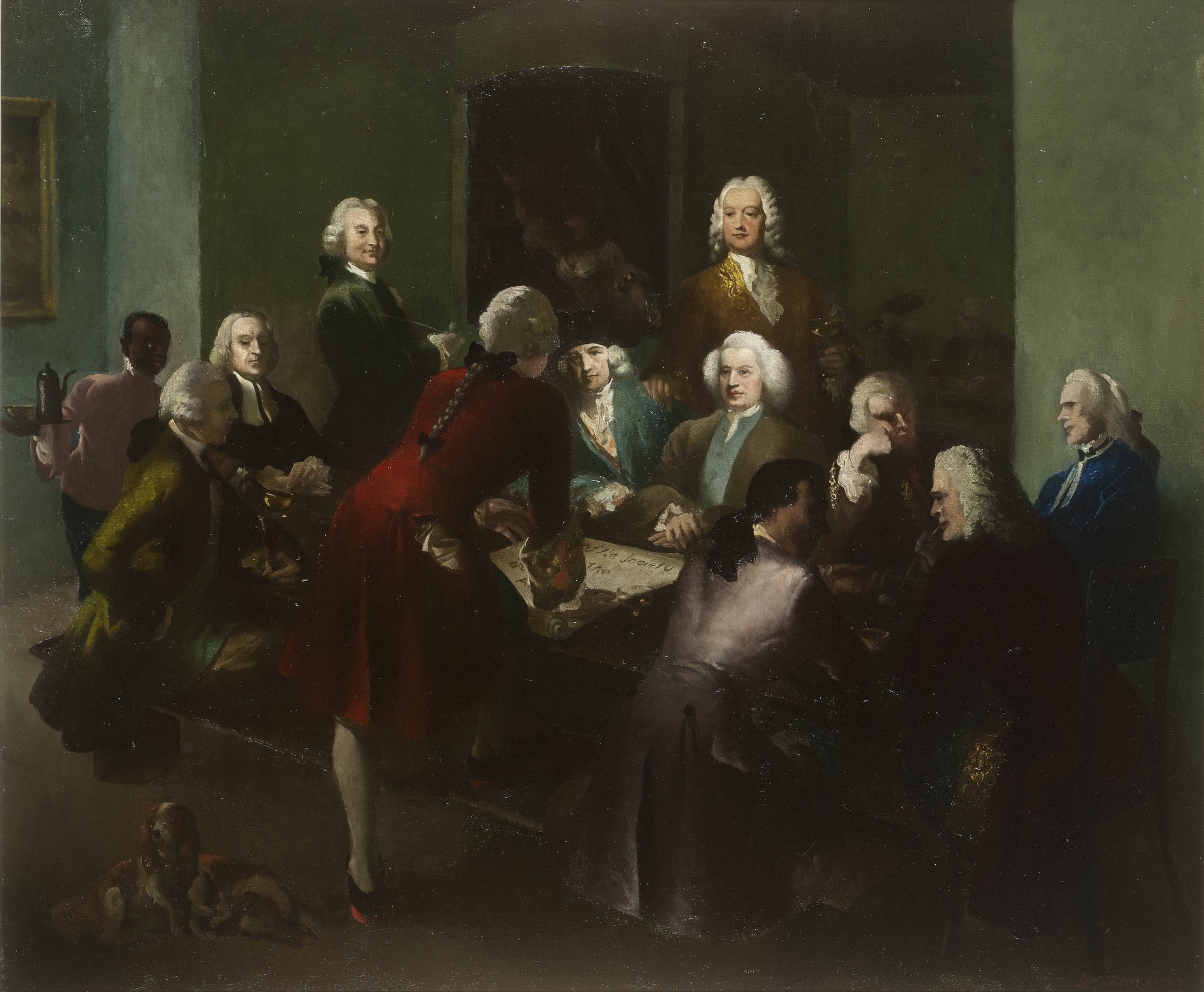
The Society for the Encouragement of Arts, Manufactures and Commerce, founded in 1754, was the precursor of The ''Royal'' Society for the Encouragement of Arts, Manufactures and Commerce now more usually known as the RSA. The original Society gained the Royal prefix in the Edwardian era, when the Prince of Wales was its President. Its primary aim was to stimulate industry through the awarding of prizes. History In 1753, William Shipley – a little-known drawing master in Northampton – had the idea of stimulating industry by means of prizes funded by public-spirited people. Through mutual friends in London he was introduced to the Rev. Dr Stephen Hales, FRS, a distinguished scientist. Hales liked the idea and asked Shipley to put his proposals in writing while Hales contacted two important colleagues, Viscount Folkestone and Lord Romney, to seek their assistance. Shipley produced two leaflets: “Proposals for raising by subscription a fund to be distributed in Premiums for th ... [...More Info...] [...Related Items...] OR: [Wikipedia] [Google] [Baidu] |


.jpeg/1200px-Brama_Zuraw_W_Gdansku_(153003103).jpeg)


.jpg)

