|
Hughes Of Gwerclas
Hughes of Gwerclas were a native Welsh royal family descended from Owain Brogyntyn the illegitimate but acknowledged son of Madog ap Maredudd (one of the last Kings of Powys, of the House of Mathrafal) by a daughter of the "Maer du" or "black mayor" of Rûg in Edernion. His father granted to him and his successors the Cantref of Edeyrnion and the Lordship of Dinmael. These areas were both remote frontier lands situated between Powys and the neighbouring ascendant Kingdom of Gwynedd. From the earlier part of the 12th Century both lordships usually paid homage to Gwynedd.The Royal Tribes of Wales, pg. 120 Owain had three sons. It is from the youngest of these sons, Iorwerth ab Owain ap Madog ap Maredudd, that the barons of Cymmer yn Edeyrnion claim descent. Iorwerth's son, Gruffudd ab Iorwerth, was confirmed in his lands by Edward I in 1284. The first recorded use of the ''Kymmer yn Edernion'' baronial title is by Owain ap Dafydd (great-great grandson of Owain Brogyntyn) in 1334 ... [...More Info...] [...Related Items...] OR: [Wikipedia] [Google] [Baidu] |
Esquire
Esquire (, ; abbreviated Esq.) is usually a courtesy title. In the United Kingdom, ''esquire'' historically was a title of respect accorded to men of higher social rank, particularly members of the landed gentry above the rank of gentleman and below the rank of knight. Some sources cite that the title was bestowed on "candidates for knighthood in England," and even used with respect to other dignitaries, such as justices of the peace, sheriffs, and sergeants. According to research by a New York City Bar Association committee, in the United States, esquire over time came to refer "commonly and exclusively" to lawyers, but how that happened is unclear. The only certainty, the committee stated, is that "based on common usage it is fair to state that if the title appears after a person’s name, that person may be presumed to be a lawyer". The 1826 edition of William Blackstone's ''Commentaries on the Laws of England'' reiterated that "the title should be limited to those only ... [...More Info...] [...Related Items...] OR: [Wikipedia] [Google] [Baidu] |
Anglo-Zulu War
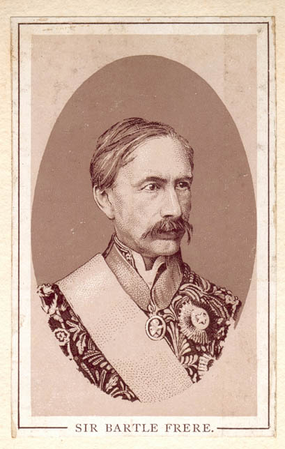
The Anglo-Zulu War was fought in 1879 between the British Empire and the Zulu Kingdom. Following the passing of the British North America Act of 1867 forming a federation in Canada, Lord Carnarvon thought that a similar political effort, coupled with military campaigns, might succeed with the African Kingdoms, tribal areas and Boer republics in South Africa. In 1874, Sir Bartle Frere was sent to South Africa as High Commissioner for the British Empire to effect such plans. Among the obstacles were the armed independent states of the South African Republic and the Kingdom of Zululand.Knight (1992, 2002), p. 8. Frere, on his own initiative, sent a provocative ultimatum on 11 December 1878 to the Zulu king Cetshwayo and upon its rejection sent Lord Chelmsford to invade Zululand. The war is notable for several particularly bloody battles, including an opening victory of the Zulu at the Battle of Isandlwana, followed by the defence of Rorke's Drift by a small British force from ... [...More Info...] [...Related Items...] OR: [Wikipedia] [Google] [Baidu] |
South Africa
South Africa, officially the Republic of South Africa (RSA), is the southernmost country in Africa. It is bounded to the south by of coastline that stretch along the South Atlantic and Indian Oceans; to the north by the neighbouring countries of Namibia, Botswana, and Zimbabwe; and to the east and northeast by Mozambique and Eswatini. It also completely enclaves the country Lesotho. It is the southernmost country on the mainland of the Old World, and the second-most populous country located entirely south of the equator, after Tanzania. South Africa is a biodiversity hotspot, with unique biomes, plant and animal life. With over 60 million people, the country is the world's 24th-most populous nation and covers an area of . South Africa has three capital cities, with the executive, judicial and legislative branches of government based in Pretoria, Bloemfontein, and Cape Town respectively. The largest city is Johannesburg. About 80% of the population are Black South Afri ... [...More Info...] [...Related Items...] OR: [Wikipedia] [Google] [Baidu] |
Cape Mounted Riflemen
The Cape Mounted Riflemen were South African military units. There were two separate successive regiments of that name. To distinguish them, some military historians describe the first as the "imperial" Cape Mounted Riflemen (originally the ''"Cape Regiment"''), and the second as the "colonial" Cape Mounted Riflemen. Cape Mounted Riflemen (1) The first, so-called "imperial", unit, was formed by the Dutch administration of the Cape Colony in 1793, to enlarge its garrison because of the threat posed by the war in Europe. It was originally called the ''Corps van Pandoeren'', i.e. "Corps of Pandours", and consisted of Khoisan and Coloured men under White officers. Cape Regiment (1795–1827) The British retained the unit after taking over the colony in 1795, and renamed it the ''Cape Regiment''. When the Dutch resumed the administration in 1803, they changed the name to the ''Corps van Vrye Hottentotten'', i.e. "Corps of Free Hottentots" and again, in 1805, to the ''Hottentot ... [...More Info...] [...Related Items...] OR: [Wikipedia] [Google] [Baidu] |
Lieutenant
A lieutenant ( , ; abbreviated Lt., Lt, LT, Lieut and similar) is a commissioned officer rank in the armed forces of many nations. The meaning of lieutenant differs in different militaries (see comparative military ranks), but it is often subdivided into senior (first lieutenant) and junior (second lieutenant and even third lieutenant) ranks. In navies, it is often equivalent to the army rank of captain; it may also indicate a particular post rather than a rank. The rank is also used in fire services, emergency medical services, security services and police forces. Lieutenant may also appear as part of a title used in various other organisations with a codified command structure. It often designates someone who is " second-in-command", and as such, may precede the name of the rank directly above it. For example, a "lieutenant master" is likely to be second-in-command to the "master" in an organisation using both ranks. Political uses include lieutenant governor in various g ... [...More Info...] [...Related Items...] OR: [Wikipedia] [Google] [Baidu] |
Inner Temple
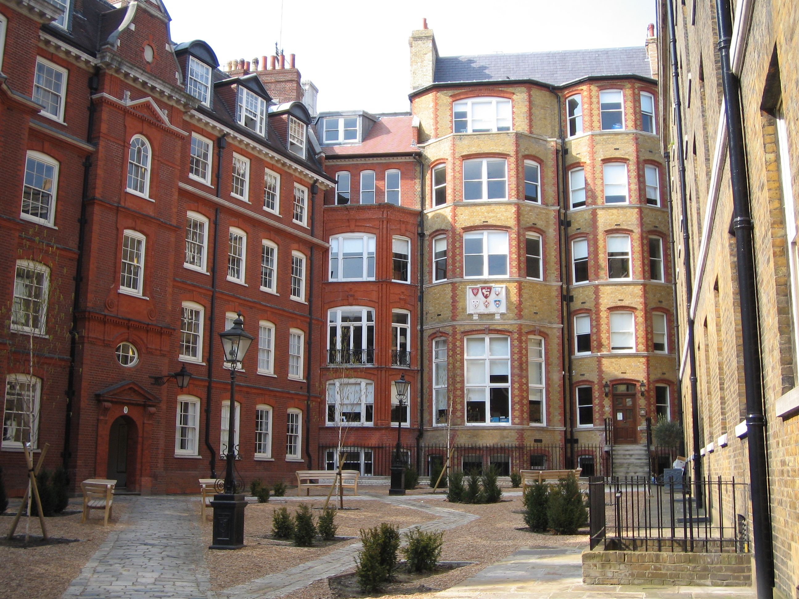
The Honourable Society of the Inner Temple, commonly known as the Inner Temple, is one of the four Inns of Court and is a professional associations for barristers and judges. To be called to the Bar and practise as a barrister in England and Wales, a person must belong to one of these Inns. It is located in the wider Temple area, near the Royal Courts of Justice, and within the City of London. The Inn is a professional body that provides legal training, selection, and regulation for members. It is ruled by a governing council called "Parliament", made up of the Masters of the Bench (or "Benchers"), and led by the Treasurer, who is elected to serve a one-year term. The Temple takes its name from the Knights Templar, who originally (until their abolition in 1312) leased the land to the Temple's inhabitants (Templars). The Inner Temple was a distinct society from at least 1388, although as with all the Inns of Court its precise date of founding is not known. After a disrupted early ... [...More Info...] [...Related Items...] OR: [Wikipedia] [Google] [Baidu] |
National Census
A census is the procedure of systematically acquiring, recording and calculating information about the members of a given population. This term is used mostly in connection with national population and housing censuses; other common censuses include censuses of agriculture, traditional culture, business, supplies, and traffic censuses. The United Nations (UN) defines the essential features of population and housing censuses as "individual enumeration, universality within a defined territory, simultaneity and defined periodicity", and recommends that population censuses be taken at least every ten years. UN recommendations also cover census topics to be collected, official definitions, classifications and other useful information to co-ordinate international practices. The UN's Food and Agriculture Organization (FAO), in turn, defines the census of agriculture as "a statistical operation for collecting, processing and disseminating data on the structure of agriculture, covering th ... [...More Info...] [...Related Items...] OR: [Wikipedia] [Google] [Baidu] |
Northamptonshire
Northamptonshire (; abbreviated Northants.) is a county in the East Midlands of England. In 2015, it had a population of 723,000. The county is administered by two unitary authorities: North Northamptonshire and West Northamptonshire. It is known as "The Rose of the Shires". Covering an area of 2,364 square kilometres (913 sq mi), Northamptonshire is landlocked between eight other counties: Warwickshire to the west, Leicestershire and Rutland to the north, Cambridgeshire to the east, Bedfordshire to the south-east, Buckinghamshire to the south, Oxfordshire to the south-west and Lincolnshire to the north-east – England's shortest administrative county boundary at 20 yards (19 metres). Northamptonshire is the southernmost county in the East Midlands. Apart from the county town of Northampton, other major population centres include Kettering, Corby, Wellingborough, Rushden and Daventry. Northamptonshire's county flower is the cowslip. The Soke of Peterborough fal ... [...More Info...] [...Related Items...] OR: [Wikipedia] [Google] [Baidu] |
Gayton, Northamptonshire
Gayton is a rural village and civil parish in West Northamptonshire, England, south-west of Northampton town centre. The village is situated on a hill close to the larger villages of Bugbrooke, Milton Malsor and Blisworth, with a linked Rights of way in England and Wales, public footpath network. At the 2011 United Kingdom census, 2011 Census, the population of the parish was 544. History The village's name is probably derived from Old English meaning "Gaega's farm/settlement". Sited near Watling Street, the ancient way from the ports of Kent to Wroxeter, Gayton was not recorded in the Domesday Book survey of 1086 but was probably the unnamed settlement in the Hundred (county division), Hundred of Towcester held by the knight Sigar of Chocques, who came from the village of that name near Béthune in the north of France. By 1162 it had passed to his relation Robert V of Béthune, being inherited in turn by his eldest son Robert VI, by his second son William II, Lord of Béthune, ... [...More Info...] [...Related Items...] OR: [Wikipedia] [Google] [Baidu] |
Flintshire
, settlement_type = County , image_skyline = , image_alt = , image_caption = , image_flag = , image_shield = Arms of Flintshire County Council.svg , shield_size = 100px , shield_alt = , shield_link = , image_blank_emblem = , blank_emblem_alt = , image_map = File: Flintshire UK location map.svg , map_alt = , map_caption = Flintshire shown within Wales , coordinates = , subdivision_type = Sovereign state , subdivision_name = , subdivision_type1 = Constituent country , subdivision_type2 = Preserved county , subdivision_name1 = , subdivision_name2 = Clwyd , established_title ... [...More Info...] [...Related Items...] OR: [Wikipedia] [Google] [Baidu] |
Chirk
Chirk ( cy, Y Waun) is a town and community in Wrexham County Borough, Wales, south of Wrexham, between it and Oswestry. At the 2011 census, it had a population of 4,468. Historically in the traditional county of Denbighshire, and later Clwyd, it has been part of Wrexham County Borough since a local government reorganisation in 1996. The border with the English county of Shropshire is immediately south of the town, on the other side of the River Ceiriog. The town is served by Chirk railway station and the A5/A483 roads. Etymology The name of the town in English, Chirk, derives from the name of the River Ceiriog, which itself may mean "the favoured one". The Welsh place name, ', is literarally "The Moor". History and heritage Chirk Castle, a National Trust property, is a medieval castle. Two families are associated with the town and its castle: the Trevor family of Brynkinallt and the Myddelton family. The Hughes of Gwerclas, a family descended from the ancient kings of ... [...More Info...] [...Related Items...] OR: [Wikipedia] [Google] [Baidu] |


