|
George Porter (architect)
George Porter (died 1856) was an English architect, based in Bermondsey, then part of Surrey, in the early- to mid-nineteenth-century. Life and career Porter was appointed district surveyor to the parishes of St. Mary Magdalen, Bermondsey, and St. Mary, Rotherhithe, Surrey, in 1824. He still held the posts in 1832, when he gave his address as Fort Place, Bermondsey. He exhibited at the Royal Academy in 1815 and between 1834 and 1837. Works he showed there included "Design for a Museum" (1815), "Villa in Surrey" (1834), "Villa on Brighton road" (1835) and "London Leather warehouse" (1837). He died in 1856. At the time of his death he was described as district surveyor of Newington and the central division of Lambeth. Works *Porter was responsible for the alterations to the west end and tower of the parish church of St Mary Magdalen, Bermondsey, carried out in 1830, which gave them their present "Gothick" appearance. He also restored the medieval west window. *The Free Waterme ... [...More Info...] [...Related Items...] OR: [Wikipedia] [Google] [Baidu] |
Bermondsey
Bermondsey () is a district in southeast London, part of the London Borough of Southwark, England, southeast of Charing Cross. To the west of Bermondsey lies Southwark, to the east Rotherhithe and Deptford, to the south Walworth and Peckham, and to the north is Wapping across the River Thames. It lies within the historic county boundaries of Surrey. History Toponymy Bermondsey may be understood to mean ''Beornmund''s island; but, while ''Beornmund'' represents an Old English personal name, identifying an individual once associated with the place, the element "-ey" represents Old English ''eg'', for "island", "piece of firm land in a fen", or simply a "place by a stream or river". Thus Bermondsey need not have been an island as such in the Anglo-Saxon period, and is as likely to have been a higher, drier spot in an otherwise marshy area. Though Bermondsey's earliest written appearance is in the Domesday Book of 1086, it also appears in a source which, though surviving only in ... [...More Info...] [...Related Items...] OR: [Wikipedia] [Google] [Baidu] |
Surrey
Surrey () is a ceremonial and non-metropolitan county in South East England, bordering Greater London to the south west. Surrey has a large rural area, and several significant urban areas which form part of the Greater London Built-up Area. With a population of approximately 1.2 million people, Surrey is the 12th-most populous county in England. The most populated town in Surrey is Woking, followed by Guildford. The county is divided into eleven districts with borough status. Between 1893 and 2020, Surrey County Council was headquartered at County Hall, Kingston-upon-Thames (now part of Greater London) but is now based at Woodhatch Place, Reigate. In the 20th century several alterations were made to Surrey's borders, with territory ceded to Greater London upon its creation and some gained from the abolition of Middlesex. Surrey is bordered by Greater London to the north east, Kent to the east, Berkshire to the north west, West Sussex to the south, East Sussex to ... [...More Info...] [...Related Items...] OR: [Wikipedia] [Google] [Baidu] |
Rotherhithe
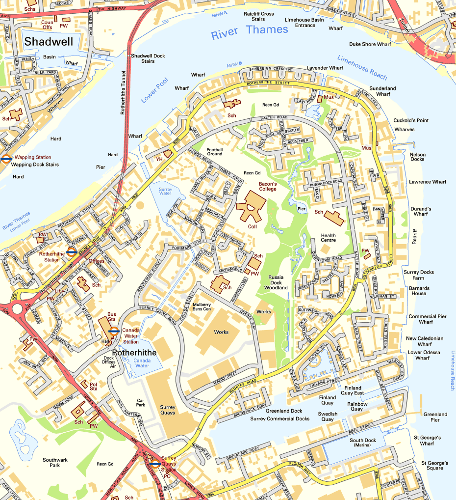
Rotherhithe () is a district of south-east London, England, and part of the London Borough of Southwark. It is on a peninsula on the south bank of the Thames, facing Wapping, Shadwell and Limehouse on the north bank, as well as the Isle of Dogs to the east of the Thames and is a part of the London Docklands, Docklands area. It borders Bermondsey to the west and Deptford to the south east. Rotherhithe has a long history as a port, with Elizabethan era, Elizabethan shipyards and working docks until the 1970s. In the 1980s, the area along the river was redeveloped as housing through a mix of warehouse conversions and new-build developments. Following the arrival of the Jubilee line in 1999 (giving quick connections to the West End of London, West End and to Canary Wharf) and the London Overground in 2010 (providing a quick route to the City of London), the rest of Rotherhithe is now a gentrification, gentrifying residential and commuter area, with urban regeneration progressing arou ... [...More Info...] [...Related Items...] OR: [Wikipedia] [Google] [Baidu] |
Penge Watermen's Almshouses
Penge () is a suburb of South East London, England, now in the London Borough of Bromley, west of Bromley, north east of Croydon and south east of Charing Cross. History Penge was once a small hamlet, which was recorded under the name Penceat in an Anglo-Saxon deed dating from 957. Most historians believe the name of the town is derived from the Celtic word ''Penceat'', which means 'edge of wood' and refers to the fact that the surrounding area was once covered in a dense forest. The original Celtic words of which the name was composed referred to 'pen' ('head'), as in the Welsh 'pen', and 'ceat' ('wood'), similar to the Welsh 'coed', as in the name of the town of Pencoed in Wales. The largest amosite mine in the world, in South Africa, was named Penge apparently because one of the British directors thought the two areas were similar in appearance. Pensgreene and the Crooked Billet Penge was an inconspicuous area with few residents before the arrival of the railways. A trave ... [...More Info...] [...Related Items...] OR: [Wikipedia] [Google] [Baidu] |
St Mary Magdalen Bermondsey
St Mary Magdalen Bermondsey is an Anglican church dedicated to St Mary Magdalen in Bermondsey in the London Borough of Southwark. The majority of the present building is late 17th century and is Grade II* listed. Its parish extends as far as the Thames (including the south tower of Tower Bridge, City Hall and part of London Bridge station). The parishes of St Olave Tooley Street, St Luke Grange Road and St John Horsleydown have all been merged into it. History A church of this dedication is first recorded on this site in 1290, serving lay workers at Bermondsey Abbey. The design of that building is not known, but in 1680 the church was demolished and rebuilt, retaining the fifteenth century late medieval tower with a gothic window and arches. This rebuilding was completed in about 1690, and was followed by the addition of a north gallery in 1705 and a south gallery in 1794. The south gallery retains its complete original boxed pews but those in the north gallery have had ... [...More Info...] [...Related Items...] OR: [Wikipedia] [Google] [Baidu] |
Free Watermen And Lightermen's Almshouses
The Free Watermen and Lightermen's Almshouses (generally known as the Royal Watermen's Almshouses) on Beckenham Road / Penge High Street, Penge, London Borough of Bromley were built in 1840–1841 to designs by the architect George PorterJohn Newman. ''West Kent and the Weald.'' The "Buildings of England" Series, First Edition, Sir Nikolaus Pevsner and Judy Nairn, eds. (London: Penguin, 1969), p.433. by the Company of Watermen and Lightermen of the City of London for retired company freemen and their widows. It is the most prominent and oldest of the Victorian almshouses in Penge. In 1973, the almspeople were moved to a new site in Hastings Hastings () is a large seaside town and borough in East Sussex on the south coast of England, east to the county town of Lewes and south east of London. The town gives its name to the Battle of Hastings, which took place to the north-west ..., and the original buildings were converted into private homes. They have been Grade II li ... [...More Info...] [...Related Items...] OR: [Wikipedia] [Google] [Baidu] |
Penge
Penge () is a suburb of South East London, England, now in the London Borough of Bromley, west of Bromley, north east of Croydon and south east of Charing Cross. History Penge was once a small hamlet, which was recorded under the name Penceat in an Anglo-Saxon deed dating from 957. Most historians believe the name of the town is derived from the Celtic word ''Penceat'', which means 'edge of wood' and refers to the fact that the surrounding area was once covered in a dense forest. The original Celtic words of which the name was composed referred to 'pen' ('head'), as in the Welsh 'pen', and 'ceat' ('wood'), similar to the Welsh 'coed', as in the name of the town of Pencoed in Wales. The largest amosite mine in the world, in South Africa, was named Penge apparently because one of the British directors thought the two areas were similar in appearance. Pensgreene and the Crooked Billet Penge was an inconspicuous area with few residents before the arrival of the railways. A trav ... [...More Info...] [...Related Items...] OR: [Wikipedia] [Google] [Baidu] |
Kent
Kent is a county in South East England and one of the home counties. It borders Greater London to the north-west, Surrey to the west and East Sussex to the south-west, and Essex to the north across the estuary of the River Thames; it faces the French department of Pas-de-Calais across the Strait of Dover. The county town is Maidstone. It is the fifth most populous county in England, the most populous non-Metropolitan county and the most populous of the home counties. Kent was one of the first British territories to be settled by Germanic tribes, most notably the Jutes, following the withdrawal of the Romans. Canterbury Cathedral in Kent, the oldest cathedral in England, has been the seat of the Archbishops of Canterbury since the conversion of England to Christianity that began in the 6th century with Saint Augustine. Rochester Cathedral in Medway is England's second-oldest cathedral. Located between London and the Strait of Dover, which separates England from mainla ... [...More Info...] [...Related Items...] OR: [Wikipedia] [Google] [Baidu] |
Company Of Watermen And Lightermen
The Company of Watermen and Lightermen (CWL) is a historic City guild in the City of London. However, unlike the city's other 109 livery companies, CWL does not have a grant of livery. Its meeting rooms are at Waterman's Hall on St Mary at Hill, London. The role of watermen was to transfer passengers, while lightermen moved goods and cargo, between the Port of London and vessels moored in the River Thames. Although modern river workers are licensed by the Maritime and Coastguard Agency, the Company continues its roles arranging apprenticeships, lobbying on river matters, and organising historic annual events and ceremonies. The company's clerk is Julie Lithgow, formerly director of the Institute of Chartered Shipbrokers. History CWL was established in the medieval period to support and maintain rights of the river workers. The two main occupations were that of watermen and lightermen. The watermen transferred passengers across and along city centre rivers and estuaries. Mo ... [...More Info...] [...Related Items...] OR: [Wikipedia] [Google] [Baidu] |
City Of London
The City of London is a city, ceremonial county and local government district that contains the historic centre and constitutes, alongside Canary Wharf, the primary central business district (CBD) of London. It constituted most of London from its settlement by the Romans in the 1st century AD to the Middle Ages, but the modern area named London has since grown far beyond the City of London boundary. The City is now only a small part of the metropolis of Greater London, though it remains a notable part of central London. Administratively, the City of London is not one of the London boroughs, a status reserved for the other 32 districts (including Greater London's only other city, the City of Westminster). It is also a separate ceremonial county, being an enclave surrounded by Greater London, and is the smallest ceremonial county in the United Kingdom. The City of London is widely referred to simply as the City (differentiated from the phrase "the city of London" by ca ... [...More Info...] [...Related Items...] OR: [Wikipedia] [Google] [Baidu] |
Almshouse
An almshouse (also known as a bede-house, poorhouse, or hospital) was charitable housing provided to people in a particular community, especially during the medieval era. They were often targeted at the poor of a locality, at those from certain forms of previous employment, or their widows, and at elderly people who could no longer pay rent, and are generally maintained by a charity or the trustees of a bequest (alms are, in the Christian tradition, money or services donated to support the poor and indigent). Almshouses were originally formed as extensions of the church system and were later adapted by local officials and authorities. History Many almshouses are European Christian institutions though some are secular. Almshouses provide subsidised accommodation, often integrated with social care resources such as wardens. England Almshouses were established from the 10th century in Britain, to provide a place of residence for poor, old and distressed people. They were someti ... [...More Info...] [...Related Items...] OR: [Wikipedia] [Google] [Baidu] |
Hastings
Hastings () is a large seaside town and borough in East Sussex on the south coast of England, east to the county town of Lewes and south east of London. The town gives its name to the Battle of Hastings, which took place to the north-west at Senlac Hill in 1066. It later became one of the medieval Cinque Ports. In the 19th century, it was a popular seaside resort, as the railway allowed tourists and visitors to reach the town. Today, Hastings is a fishing port with the UK's largest beach-based fishing fleet. It has an estimated population of 92,855 as of 2018. History Early history The first mention of Hastings is found in the late 8th century in the form ''Hastingas''. This is derived from the Old English tribal name '' Hæstingas'', meaning 'the constituency (followers) of Hæsta'. Symeon of Durham records the victory of Offa in 771 over the ''Hestingorum gens'', that is, "the people of the Hastings tribe." Hastingleigh in Kent was named after that tribe. The place n ... [...More Info...] [...Related Items...] OR: [Wikipedia] [Google] [Baidu] |


