|
Fortified Region Of Metz
The Fortified Region of Metz comprised the central and most heavily fortified portion of the Maginot Line. The region was established in 1926 as a military organization for the French fortifications along the frontier with Luxembourg and Germany to the east of Longuyon in northeastern France, forming a shield to the north of the industrialized areas of Metz and Thionville. The region was dissolved as a military organization on 18 March 1940, its command personnel moving to the 42nd Army Corps. The region was divided into four sectors: * Fortified Sector of the Crusnes * Fortified Sector of Thionville * Fortified Sector of Boulay * Fortified Sector of Faulquemont The region was given the highest priority in funding, manning and equipment of all Maginot regions.Mary, Tome 3, p. 79 Creation Following the First World War, French defense policy was re-examined at the order of Marshal Philippe Pétain. The 1919 study recommended the creation of a mobile army that could carry war to th ... [...More Info...] [...Related Items...] OR: [Wikipedia] [Google] [Baidu] |
Maginot Line
The Maginot Line (french: Ligne Maginot, ), named after the French Minister of War André Maginot, is a line of concrete fortifications, obstacles and weapon installations built by France in the 1930s to deter invasion by Germany and force them to move around the fortifications. The Maginot Line was impervious to most forms of attack. In consequence, the Germans invaded through the Low Countries in 1940, passing it to the north. The line, which was supposed to be fully extended further towards the west to avoid such an occurrence, was finally scaled back in response to demands from Belgium. Indeed, Belgium feared it would be sacrificed in the event of another German invasion. The line has since become a metaphor for expensive efforts that offer a false sense of security. Constructed on the French side of its borders with Italy, Switzerland, Germany, Luxembourg and Belgium, the line did not extend to the English Channel. French strategy therefore envisioned a move into Belgium ... [...More Info...] [...Related Items...] OR: [Wikipedia] [Google] [Baidu] |
Lorraine (region)
Lorraine , also , , ; Lorrain: ''Louréne''; Lorraine Franconian: ''Lottringe''; german: Lothringen ; lb, Loutrengen; nl, Lotharingen is a cultural and historical region in Northeastern France, now located in the administrative region of Grand Est. Its name stems from the medieval kingdom of Lotharingia, which in turn was named after either Emperor Lothair I or King Lothair II. Lorraine later was ruled as the Duchy of Lorraine before the Kingdom of France annexed it in 1766. From 1982 until January 2016, Lorraine was an administrative region of France. In 2016, under a reorganisation, it became part of the new region Grand Est. As a region in modern France, Lorraine consisted of the four departments Meurthe-et-Moselle, Meuse, Moselle and Vosges (from a historical point of view the Haute-Marne department is located in the region), containing 2,337 communes. Metz is the regional prefecture. The largest metropolitan area of Lorraine is Nancy, which had developed for centurie ... [...More Info...] [...Related Items...] OR: [Wikipedia] [Google] [Baidu] |
Kaiserslautern
Kaiserslautern (; Palatinate German: ''Lautre'') is a city in southwest Germany, located in the state of Rhineland-Palatinate at the edge of the Palatinate Forest. The historic centre dates to the 9th century. It is from Paris, from Frankfurt am Main, 666 kilometers (414 miles) from Berlin, and from Luxembourg. Kaiserslautern is home to about 100,000 people. Additionally, approximately 45,000 NATO military personnel are based in the city and its surrounding district ('' Landkreis Kaiserslautern''), contributing approximately US$1 billion annually to the local economy. History and demographics Prehistoric settlement in the area of what is now Kaiserslautern has been traced to at least 800 BC. Some 2,500-year-old Celtic tombs were uncovered at Miesau, a town about west of Kaiserslautern. The recovered relics are now in the Museum for Palatinate History at Speyer. Medieval period Kaiserslautern received its name from the favourite hunting retreat of Holy Roman Emperor F ... [...More Info...] [...Related Items...] OR: [Wikipedia] [Google] [Baidu] |
Homburg, Saarland
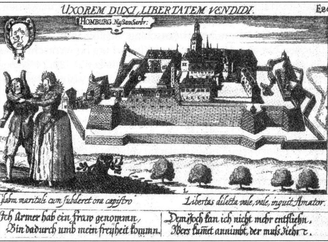
Homburg (; french: Hombourg, pfl, Humborch) is a town in Saarland, Germany and the administrative seat of the Saarpfalz district. With a population of 43,029 inhabitants (2022), it is the third largest town in the state. The city offers over 30,000 workplaces. The medical department of the University of Saarland is situated here. The city is also home to the Karlsberg beer brewery. Major employers include Robert Bosch GmbH, Schaeffler Group and Michelin. Geography Homburg is located in the northern part of the Saarpfalz district, bordering Rhineland-Palatinate. It is 16 km from Neunkirchen and 36 km from Saarbrücken. The city districts are situated in the Blies valley or on its tributaries Erbach, Lambsbach and Schwarzbach. Homburg is composed of Homburg center and nine city districts: Beeden, Bruchhof-Sanddorf, Einöd, Erbach, Jägersburg, Kirrberg, Reiskirchen, Schwarzenbach and Wörschweiler. Einöd includes: Einöd, Ingweiler and Schwarzenacker; ... [...More Info...] [...Related Items...] OR: [Wikipedia] [Google] [Baidu] |
Ottweiler
Ottweiler () is a municipality, former seat of the district of Neunkirchen, in Saarland, Germany. It is situated on the river Blies, approx. 7 km north of Neunkirchen, and 25 km northeast of Saarbrücken. Culture The town is notable for the Ottweiler porcelain. The Ottweiler Brewing Company was founded in Ottweiler in 1873. It was moved to the Karlsberg Brewery in Homburg in 1983. People * Ludwig Steeg Ludwig Steeg (22 December 1894 – 6 September 1945), German Nazi politician, was appointed City President (Lord Mayor) of Berlin from 1940 to 1945. Biography Steeg was born in Ottweiler near Saarbrücken, the son of a teacher. As a young man he ... (1894-1945), politician, mayor from Berlin from 1940-1945 References External links Official website Neunkirchen (German district) {{Saarland-geo-stub ... [...More Info...] [...Related Items...] OR: [Wikipedia] [Google] [Baidu] |
Trier
Trier ( , ; lb, Tréier ), formerly known in English as Trèves ( ;) and Triers (see also names in other languages), is a city on the banks of the Moselle in Germany. It lies in a valley between low vine-covered hills of red sandstone in the west of the state of Rhineland-Palatinate, near the border with Luxembourg and within the important Moselle wine region. Founded by the Celts in the late 4th century BC as ''Treuorum'' and conquered 300 years later by the Romans, who renamed it ''Augusta Treverorum'' ("The City of Augustus among the Treveri"), Trier is considered Germany's oldest city. It is also the oldest seat of a bishop north of the Alps. Trier was one of the four capitals of the Roman Empire during the Tetrarchy period in the late 3rd and early 4th centuries. In the Middle Ages, the archbishop-elector of Trier was an important prince of the Church who controlled land from the French border to the Rhine. The archbishop-elector of Trier also had great signific ... [...More Info...] [...Related Items...] OR: [Wikipedia] [Google] [Baidu] |
Konz
Konz ( la, link=no, Contionacum) is a city in the Trier-Saarburg district, in Rhineland-Palatinate, Germany. It is situated at the confluence of the rivers Saar and Moselle, approx. 8 km southwest of Trier. Konz is the seat of the ''Verbandsgemeinde'' ("collective municipality") Konz. The following villages are part of the municipality Konz: *Canet *Filzen *Hamm *Karthaus *Könen *Krettnach *Kommlingen *Niedermennig *Oberemmel *Obermennig *Roscheid *Windah History From 18 July 1946 until 6 June 1947 Konz, in its then municipal boundary, formed part of the Saar Protectorate. Population Museums * Roscheider Hof Open Air Museum The Roscheider Hof Open Air Museum is the open-air museum and Folklore Museum of the Greater SaarLorLux Region. The museum is situated in Konz, Germany, on the Saar and Mosel rivers, 8 km west of Trier and 30 km east of Luxembourg. It ... References External links Websites in Konz Towns in Rhineland-Palatinate Trier ... [...More Info...] [...Related Items...] OR: [Wikipedia] [Google] [Baidu] |
Fortified Region Of Belfort
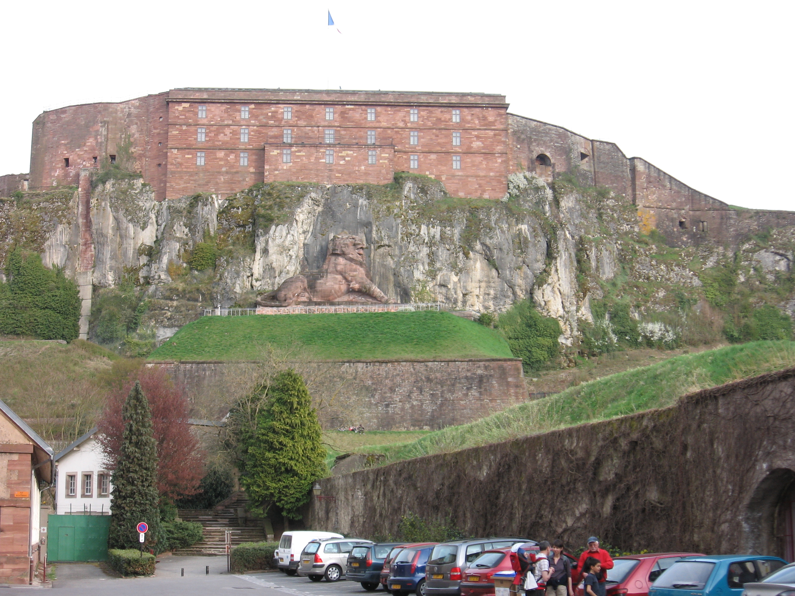
The fortified region of Belfort () formed the first line of defense in the Séré de Rivières system of fortifications in the Belfort Gap. Located in northeastern France between Épinal and Besançon, the primary line was built in the late 19th century to deal with advances in artillery that had made older defensive systems obsolete. History Belfort has been a fortified place since the Middle Ages, when a castle was built in 1226. After withstanding seven sieges, the medieval fortifications were modernized between 1637 and 1648 by the Comte de la Suze. Vauban added hornworks and a barracks to the castle and enclosed the city in a new wall according to Vauban's "second system", which resisted a siege in 1815. As armies made greater use of artillery, it became necessary to extend city defenses to keep opponents sufficiently distant to prevent bombardment of the city from neighboring high ground. The first ring of forts was built at the direction of General Baron Haxo, beginn ... [...More Info...] [...Related Items...] OR: [Wikipedia] [Google] [Baidu] |
GO Latiremont-B6-2004-04-02
Go, GO, G.O., or Go! may refer to: Arts and entertainment Games and sport * Go (game), a board game for two players * ''Travel Go'' (formerly ''Go – The International Travel Game''), a game based on world travel * Go, the starting position located at the corner of the board in the board game ''Monopoly'' * ''Go'', a 1992 game for the Philips CD-i video game system * ''Go'', a large straw battering ram used in the Korean sport of Gossaum * Go!, a label under which U.S. Gold published ZX Spectrum games * Go route, a pattern run in American football * ''Go'' series, a turn-based, puzzle video game series by Square Enix, based on various Square Enix franchises * '' Counter-Strike: Global Offensive'' (''CS:GO''), a first-person shooter developed by Valve * ''Pokémon Go'', an augmented reality game Film * ''Go'' (1999 film), American film * ''Go'' (2001 film), a Japanese film * ''Go'' (2007 film), a Bollywood film * ''Go Karts'' (film), an Australian film also titled as ''Go! ... [...More Info...] [...Related Items...] OR: [Wikipedia] [Google] [Baidu] |
Saarland
The Saarland (, ; french: Sarre ) is a state of Germany in the south west of the country. With an area of and population of 990,509 in 2018, it is the smallest German state in area apart from the city-states of Berlin, Bremen, and Hamburg, and the smallest in population apart from Bremen. Saarbrücken is the state capital and largest city; other cities include Neunkirchen and Saarlouis. Saarland is mainly surrounded by the department of Moselle ( Grand Est) in France to the west and south and the neighboring state of Rhineland-Palatinate in Germany to the north and east; it also shares a small border about long with the canton of Remich in Luxembourg to the northwest. Saarland was established in 1920 after World War I as the Territory of the Saar Basin, occupied and governed by France under a League of Nations mandate. The heavily industrialized region was economically valuable, due to the wealth of its coal deposits and location on the border between France and German ... [...More Info...] [...Related Items...] OR: [Wikipedia] [Google] [Baidu] |
Longwy
Longwy (; older german: Langich, ; lb, label=Luxemburgish, Lonkech) is a commune in the French department of Meurthe-et-Moselle, Lorraine, administrative region of Grand Est, northeastern France. The inhabitants are known as ''Longoviciens''. In 2008, the ''ville neuve'' ("New Town") was listed as a UNESCO World Heritage Site, as part of the "Fortifications of Vauban" group for its contributions to the development of military architecture and engineering. Economy Longwy has historically been an industrial center of the Lorraine iron mining district. Factories lined the river in historic postcards. The town is also known for its artistic faience, produced there since 1798. It is produced today by the Société des faïenceries de Longwy et Senelle, often in cooperation with artists and ceramists. Overglaze enamel decoration, known as ''émaux'' and often in a manner similar to cloisonné, has been produced in Longwy ceramics since 1872. Initially produced under the direction o ... [...More Info...] [...Related Items...] OR: [Wikipedia] [Google] [Baidu] |
Rhine
), Surselva, Graubünden, Switzerland , source1_coordinates= , source1_elevation = , source2 = Rein Posteriur/Hinterrhein , source2_location = Paradies Glacier, Graubünden, Switzerland , source2_coordinates= , source2_elevation = , source_confluence = Reichenau , source_confluence_location = Tamins, Graubünden, Switzerland , source_confluence_coordinates= , source_confluence_elevation = , mouth = North Sea , mouth_location = Netherlands , mouth_coordinates = , mouth_elevation = , progression = , river_system = , basin_size = , tributaries_left = , tributaries_right = , custom_label = , custom_data = , extra = The Rhine ; french: Rhin ; nl, Rijn ; wa, Rén ; li, Rien; rm, label= Sursilvan, Rein, rm, label= Sutsilvan and Surmiran, Ragn, rm, label=Rumantsch Grischun, Vallader and Puter, Rain; it, Reno ; gsw, Rhi(n), inclu ... [...More Info...] [...Related Items...] OR: [Wikipedia] [Google] [Baidu] |


.jpg)


