|
Firwood Park
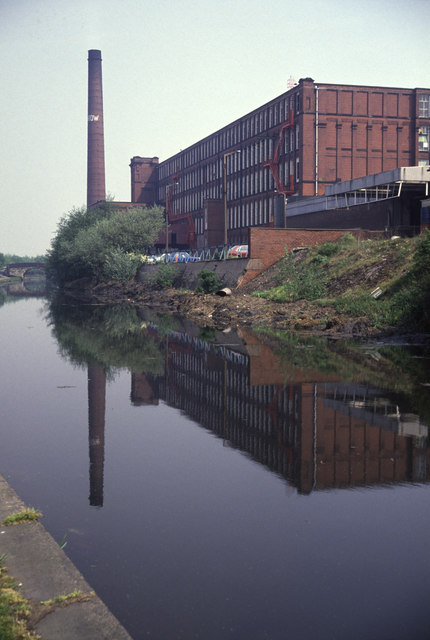
Firwood Park is a suburban area of Chadderton in the Metropolitan Borough of Oldham, Greater Manchester. It is located a little over one mile to the west of Chadderton's commercial centre on Middleton Road and is contiguous with the Mills Hill, Chadderton Park and Middleton Junction areas of the town. A development of 749 houses, Firwood Park was built in 1990 on a vast tract of land, which at one time was claimed to be the largest private residential development in Europe. History In 1844 James Cheetham built the Firwood Mill at the side of the Rochdale Canal close to Mills Hill. His family lived at Firwood House which was set in its own grounds on the other side of the canal, close to the industrial hamlet of Drummer Hill. This house was demolished many decades ago but its name is perpetuated in the Firwood Park estate. Firwood Mill was demolished in 1960. Transport Stotts Tours (Oldham) operates service 396 to Middleton and to Ashton-under-Lyne via Chadderton town cen ... [...More Info...] [...Related Items...] OR: [Wikipedia] [Google] [Baidu] |
Coldhurst
Coldhurst (or more rarely Cold Hurst) is an area of Oldham and an electoral ward of the wider Metropolitan Borough of Oldham in Greater Manchester, England. At the time of the United Kingdom Census 2001, it had a population of 11,935, increasing to 13,201 at the 2011 Census. The electoral ward spans most of Oldham's town centre,. although the name Coldhurst conventionally applies to the area immediately north of the centre. The district of Westwood and a small adjoining part of Chadderton in the Busk area also lie within the Coldhurst ward district. Historically a part of Lancashire, Coldhurst was formerly a chapelry within the ancient ecclesiastical parish of Prestwich-cum-Oldham, in the Salfordshire hundred. An old hall existed in the locality belonging to Abram Crompton Esq, which gave its name to Crompton Street. Coldhurst is said to have been the scene of an action in the English Civil War in which the parliamentarians were defeated. Following the Industrial Revoluti ... [...More Info...] [...Related Items...] OR: [Wikipedia] [Google] [Baidu] |
Foxdenton
Foxdenton is a semi rural locality in Chadderton Chadderton is a town in the Metropolitan Borough of Oldham, Greater Manchester, England, on the River Irk and Rochdale Canal. It is located in the foothills of the Pennines, west of Oldham, south of Rochdale and north-east of Manchester. ... in the Metropolitan Borough of Oldham, Greater Manchester. It is located in the west of Chadderton. Middleton Junction, Greater Manchester, Middleton Junction lies to the west with Nimble Nook to the east. It is the location of the manorial Chadderton#Landmarks, Foxdenton Hall and its grounds, Foxdenton Park. There were several working farms remaining in Foxdenton until the late 2010s. The commencement of the Broadway Green housing development will, however, see the area become more suburban in character. The farmhouse at Foxdenton Farm is a grade II listed building. Early 19th century gazetteers described Foxdenton as a village in the township of Chadderton. Foxdenton Hall ... [...More Info...] [...Related Items...] OR: [Wikipedia] [Google] [Baidu] |
Nordens
Nordens is a suburban area of Chadderton in the Metropolitan Borough of Oldham, Greater Manchester. Lying in a valley archaically known as Hunt Clough, Nordens is located around the junction of Middleton Road and Hunt Lane, around 0.7 miles to the west of Chadderton's commercial centre on Middleton Road and is contiguous with the Chadderton Park, Firwood Park and Stock Brook areas of the town. Semi-rural Foxdenton lies to the south. The name Nordens derives from North Dene or Valley and is commemorated in the name North Dene Park, a street name in the district. Nordens Lane (later Nordens Road), a short stretch of which still exists as Nordens Street, was one of Chadderton's oldest roads and was one of the main routes leading to the nearby Chadderton Hall manor house. Suburban housing now lies on the land the lane went through. Between the mid-1960s and 1992 Nordens Road was the home ground of the now-defunct Oldham Town Football Club (previously known as Oldham Dew) ... [...More Info...] [...Related Items...] OR: [Wikipedia] [Google] [Baidu] |
Shaw And Crompton
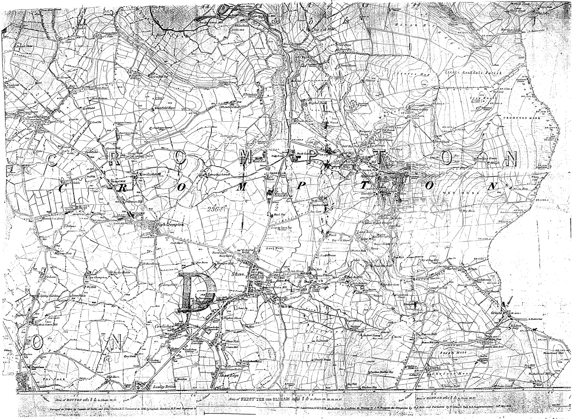
Shaw and Crompton is a civil parish in the Metropolitan Borough of Oldham, Greater Manchester, England, which contains the town of Shaw and lies on the River Beal at the foothills of the South Pennines. It is located north of Oldham, south-east of Rochdale and north-east of Manchester. Historically in Lancashire, the area shows evidence of ancient British and Anglian activity. In the Middle Ages, Crompton formed a small township of scattered woods, farmsteads, moorland and swamp. The local lordship was weak or absent, and so Crompton failed to emerge as a manor with its own lord and court. Farming was the main industry of this rural area, with locals supplementing their incomes by hand-loom woollen weaving in the domestic system. The introduction of textile manufacture during the Industrial Revolution initiated a process of rapid and unplanned urbanisation. A building boom began in Crompton in the mid-19th century, when suitable land for factories in Oldham was becomi ... [...More Info...] [...Related Items...] OR: [Wikipedia] [Google] [Baidu] |
Cheetham Hill
Cheetham is an inner-city area and electoral ward of Manchester, England, which in 2011 had a population of 22,562. It lies on the west bank of the River Irk, north of Manchester city centre, close to the boundary with Salford, bounded by Broughton to the north, Harpurhey to the east, and Piccadilly and Deansgate to the south. Historically part of Lancashire, Cheetham was a township in the parish of Manchester and hundred of Salford. The township was amalgamated into the Borough of Manchester in 1838, and in 1896 became part of the North Manchester township. Cheetham is home to a multi-ethnic community, a result of several waves of immigration to Britain. In the mid-19th century, it attracted Irish people fleeing the Great Famine. It is now home to the Irish World Heritage Centre. Jews settled in the late-19th and early-20th centuries, fleeing persecution in continental Europe. Migrants from the Indian subcontinent and Caribbean settled in the 1950s and 1960s, and more ... [...More Info...] [...Related Items...] OR: [Wikipedia] [Google] [Baidu] |
Manchester
Manchester () is a city in Greater Manchester, England. It had a population of 552,000 in 2021. It is bordered by the Cheshire Plain to the south, the Pennines to the north and east, and the neighbouring city of Salford to the west. The two cities and the surrounding towns form one of the United Kingdom's most populous conurbations, the Greater Manchester Built-up Area, which has a population of 2.87 million. The history of Manchester began with the civilian settlement associated with the Roman fort ('' castra'') of ''Mamucium'' or ''Mancunium'', established in about AD 79 on a sandstone bluff near the confluence of the rivers Medlock and Irwell. Historically part of Lancashire, areas of Cheshire south of the River Mersey were incorporated into Manchester in the 20th century, including Wythenshawe in 1931. Throughout the Middle Ages Manchester remained a manorial township, but began to expand "at an astonishing rate" around the turn of the 19th century. Manchest ... [...More Info...] [...Related Items...] OR: [Wikipedia] [Google] [Baidu] |
Milnrow
Milnrow is a suburban town within the Metropolitan Borough of Rochdale, in Greater Manchester, England. It lies on the River Beal at the foothills of the South Pennines, and forms a continuous urban area with Rochdale. It is east of Rochdale town centre, north-northeast of Manchester, and spans urban, suburban and rural locations—from Windy Hill in the east to the Rochdale Canal in the west. Milnrow is adjacent to junction 21 of the M62 motorway, and includes the village of Newhey, and hamlets at Tunshill and Ogden. Historically in Lancashire, Milnrow during the Middle Ages was one of several hamlets in the township of Butterworth and parish of Rochdale. The settlement was named by the Anglo-Saxons, but the Norman conquest of England resulted in its ownership by minor Norman families, such as the Schofields and Cleggs. In the 15th century, their descendants successfully agitated for a chapel of ease by the banks of the River Beal, triggering its development as the main s ... [...More Info...] [...Related Items...] OR: [Wikipedia] [Google] [Baidu] |
Oldham
Oldham is a large town in Greater Manchester, England, amid the Pennines and between the rivers Irk and Medlock, southeast of Rochdale and northeast of Manchester. It is the administrative centre of the Metropolitan Borough of Oldham, which had a population of 237,110 in 2019. Within the boundaries of the historic county of Lancashire, and with little early history to speak of, Oldham rose to prominence in the 19th century as an international centre of textile manufacture. It was a boomtown of the Industrial Revolution, and among the first ever industrialised towns, rapidly becoming "one of the most important centres of cotton and textile industries in England." At its zenith, it was the most productive cotton spinning mill town in the world,. producing more cotton than France and Germany combined. Oldham's textile industry fell into decline in the mid-20th century; the town's last mill closed in 1998. The demise of textile processing in Oldham depressed and heavily ... [...More Info...] [...Related Items...] OR: [Wikipedia] [Google] [Baidu] |
Rochdale
Rochdale ( ) is a large town in Greater Manchester, England, at the foothills of the South Pennines in the dale on the River Roch, northwest of Oldham and northeast of Manchester. It is the administrative centre of the Metropolitan Borough of Rochdale, which had a population of 211,699 in the 2011 census. Located within the historic boundaries of the county of Lancashire. Rochdale's recorded history begins with an entry in the Domesday Book of 1086 under "Recedham Manor". The ancient parish of Rochdale was a division of the hundred of Salford and one of the largest ecclesiastical parishes in England, comprising several townships. By 1251, Rochdale had become important enough to have been granted a Royal charter. Rochdale flourished into a centre of northern England's woollen trade, and by the early 18th century was described as being "remarkable for many wealthy merchants". Rochdale rose to prominence in the 19th century as a mill town and centre for textile manufacture ... [...More Info...] [...Related Items...] OR: [Wikipedia] [Google] [Baidu] |
Middleton, Greater Manchester
Middleton is a town in the Metropolitan Borough of Rochdale, Greater Manchester, England, on the River Irk southwest of Rochdale and northeast of Manchester city centre. Middleton had a population of 42,972 at the 2011 Census. It lies on the northern edge of Manchester, with Blackley to the south and Moston to the south east. Historically part of Lancashire, Middleton's name comes from it being the centre of several circumjacent settlements. It was an ecclesiastical parish of the hundred of Salford, ruled by aristocratic families. The Church of St Leonard is a Grade I listed building. The Flodden Window in the church's sanctuary is thought to be the oldest war memorial in the United Kingdom, memorialising the archers of Middleton who fought at the Battle of Flodden in 1513. In 1770, Middleton was a village of twenty houses, but in the 18th and 19th centuries it grew into a thriving and populous seat of textile manufacture and it was granted borough status in 1886. Langley ... [...More Info...] [...Related Items...] OR: [Wikipedia] [Google] [Baidu] |


.jpg)


.jpg)


