|
Emicho I, Count Of Nassau-Hadamar
Emicho I, Count of Nassau-Hadamar (also known as ''Emich'', first mentioned in 1289, died on 7 June 1334), was the second son of Count Otto I of Nassau and his wife Agnes (d. 1303), the daughter of Count Emich IV of Leiningen-Landeck. Emicho was the founder of the elder line of Nassau-Hadamar. He was a cousin of King Adolf of Germany. He and his brother Henry fought on Adolf's side in the Battle of Göllheim on 2 July 1298. Count of Nassau-Hadamar Emicho I was a son of Otto, the founder of the Ottonian line of the House of Nassau. After Otto died in 1290, his sons fought a length dispute over the inheritance. In 1303, the three remaining sons divided the Ottonian lands. Henry (d. 1343), the eldest brother, received Nassau-Siegen, with Ginsburg and the Lordship of Westerwald. John received Nassau-Dillenburg, with Herborn, Haiger and Beilstein. Emicho received Nassau-Hadamar, including Hadamar itself, the Esterau, the Nassau share of the Lordship of Driedorf and the justice ov ... [...More Info...] [...Related Items...] OR: [Wikipedia] [Google] [Baidu] |
House Of Nassau
The House of Nassau is the name of a European aristocratic dynasty. The name originated with a lordship associated with Nassau Castle, which is located in what is now Nassau, Rhineland-Palatinate, Nassau in Rhineland-Palatinate, Germany. With the fall of the Hohenstaufen dynasty in the first half of the 13th century, royal power within Franconia evaporated and the former stem duchy fragmented into separate independent states. Nassau emerged as one of those independent states as part of the Holy Roman Empire. The lords of Nassau were originally titled "Counts of Nassau", subject only to the Holy Roman Emperor, Emperor, and then elevated to princely rank as "Princely Counts". Early on, the family divided into two main branches – the elder (Walramian) branch, which gave rise to the German king Adolf, King of the Romans, Adolf, and the younger (Ottonian) branch, which gave rise to the Prince of Orange, Princes of Orange and the King of the Netherlands, monarchs of the Netherlands. ... [...More Info...] [...Related Items...] OR: [Wikipedia] [Google] [Baidu] |
Nassau-Hadamar
Nassau-Hadamar is the name of two side lines of the Ottonian main line of the House of Nassau. The older line of the counts of Nassau-Hadamar existed from 1303 to 1394; the younger line existed from 1607 to 1711 and received the hereditary title of prince in 1652. Nassau-Hadamar (Older Line) Emergence After the death of Henry II the Rich of Nassau his sons, Walram II and Otto I shared the inheritance in 1255. The boundary between the two territories was formed approximately by the River Lahn. Walram took over the southern part of the realm (''Walramic main line'') and Otto, the northern part (''Ottonian main line''). The marriage between Otto and Agnes of Leiningen gave the Ottonian main line suzerainty over the March of Hadamar. Otto's death in 1290 led to repeated inheritance disputes among his sons. In 1303, they shared his estate, under the mediation of John I of Limburg. The eldest son Henry took over the sub-county of Nassau-Siegen with its est ... [...More Info...] [...Related Items...] OR: [Wikipedia] [Google] [Baidu] |
Hadamar Schloss
Hadamar () is a small town in Limburg-Weilburg district in Hesse, Germany. Hadamar is known for its Clinic for Forensic Psychiatry/Centre for Social Psychiatry, lying at the edge of town, in whose outlying buildings is also found the Hadamar Memorial. This remembers the murders of people with handicaps and mental illnesses under the Nazi regime at the ''NS-Tötungsanstalt Hadamar''. Geography Location Hadamar lies 7 km north of Limburg between Cologne and Frankfurt am Main on the southern edge of the Westerwald at elevations from 120 to 390 m above sea level. Neighbouring communities Hadamar borders in the north on the communities of Dornburg, Elbtal and Waldbrunn, in the east on the community of Beselich, in the south on the town of Limburg, and the community of Elz (all in Limburg-Weilburg) and in the west on the community of Hundsangen (in the Westerwaldkreis in Rhineland-Palatinate). Constituent communities The town consists of eight formerly autono ... [...More Info...] [...Related Items...] OR: [Wikipedia] [Google] [Baidu] |
Frederick III, Burgrave Of Nuremberg
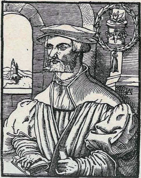
Frederick III of Nuremberg ( 1220 – 14 August 1297), Burgrave of Nuremberg from the House of Hohenzollern, was the eldest son of Conrad I of Nuremberg and Adelheid of Frontenhausen. Life He owned the possessions of Hohenzollern on the west of Nuremberg around the castle Cadolzburg. In 1248 he received from the Counts of Andechs the region of Bayreuth by so-called ''Meran's inheritance''. However, this led to a quarrel with other noble houses who also had claims on these lands. After the death of Conrad I in 1261 he became Burgrave of Nuremberg and tried to eliminate the Frankish power in the Main region. That resulted in the violent opposition of the bishops of Würzburg and Bamberg. In 1273 he gave his deciding vote for his friend Rudolf of Habsburg on the election of the king of the Romans. As a reward the King confirmed his position as a Burgrave and granted the rank of a Prince-Elector. Thus Frederick was entrusted with the royal district court of Franconia, too ... [...More Info...] [...Related Items...] OR: [Wikipedia] [Google] [Baidu] |
Burgrave
Burgrave, also rendered as burggrave (from , ), was since the medieval period in Europe (mainly Germany) the official title for the ruler of a castle, especially a royal or episcopal castle, and its territory called a ''Burgraviate'' or ''Burgravate'' (German ''Burggrafschaft'' also ''Burggrafthum'', Latin ''praefectura'').Encyclopædia Britannica; Definition of ''burgrave (title)''/ref> Duden; Definition of ''Burggraf'' (in German)/ref> The burgrave was a "count" in rank (German ''Graf'', Latin ''comes'') equipped with judicial powers, under the direct authority of the emperor or king, or of a territorial imperial state—a prince-bishop or territorial lord. The responsibilities were administrative, military and jurisdictional. In time the position came to be a purely administrative position held by middle or high ranking civil servants. A burgrave, who ruled over a substantially large territory, might also have possessed the regality of coinage, and could mint his own regi ... [...More Info...] [...Related Items...] OR: [Wikipedia] [Google] [Baidu] |
Altdorf Bei Nürnberg
Altdorf bei Nürnberg ( , ; ) is a town in south-eastern Germany. It is situated east of Nuremberg, in the district Nürnberger Land. Its name literally means “Altdorf near Nuremberg”, to distinguish it from other Altdorfs. History Altdorf is first mentioned in 1129. In 1504 the town was conquered by the Free Imperial City of Nuremberg. In the 16th century, the city government of Nuremberg founded an academy in Altdorf, which became a university in 1622. The university lasted until 1809. Among the alumni of the University of Altdorf were the soldier Albrecht von Wallenstein and the philosopher and scientist Gottfried Leibniz. Discovery of teleosaur fossils Teleosaur remains have been known from Altdorf bei Nürnberg since 1832,Meyer, H. von, (1832), ''Paleologica zur Geschichte der Erde'', Frankfurt am Main, 560 p but none have been placed in a specific genus yet. Economy Even though the times of its once famous university have long passed, Altdorf is the seat of severa ... [...More Info...] [...Related Items...] OR: [Wikipedia] [Google] [Baidu] |
Schwabach
Schwabach () is a German city of about 40,000 inhabitants near Nuremberg in the centre of the region of Franconia in the north of Bavaria. Together with the neighboring cities of Nuremberg, Fürth and Erlangen, Schwabach forms one of the three metropolitan areas in Bavaria. The city is an autonomous administrative district (''kreisfreie Stadt''). Schwabach is also the name of the river which runs through the city prior to joining the Rednitz. Schwabach is famous for its crafts made of gold, particularly gold foil. In 2004, Schwabach celebrated this tradition with an anniversary festival, marking "500 years gold foil in Schwabach". Around 1500, a local typesetter developed the "Schwabacher" font. This font was used for printing the first Bible in German, which had been worked out by Martin Luther. Etymology The name derives from the old Franconian name ''Suapaha'' (later ''Suabaha'', then ''Villa Suabach'') which translates as "Schwaben-Bach" in modern German, which means " S ... [...More Info...] [...Related Items...] OR: [Wikipedia] [Google] [Baidu] |
Kammerstein Castle
Kammerstein is a municipality in the district of Roth in Bavaria in Germany Germany, officially the Federal Republic of Germany, is a country in Central Europe. It lies between the Baltic Sea and the North Sea to the north and the Alps to the south. Its sixteen States of Germany, constituent states have a total popu .... References Roth (district) {{Roth-geo-stub ... [...More Info...] [...Related Items...] OR: [Wikipedia] [Google] [Baidu] |
Nuremberg
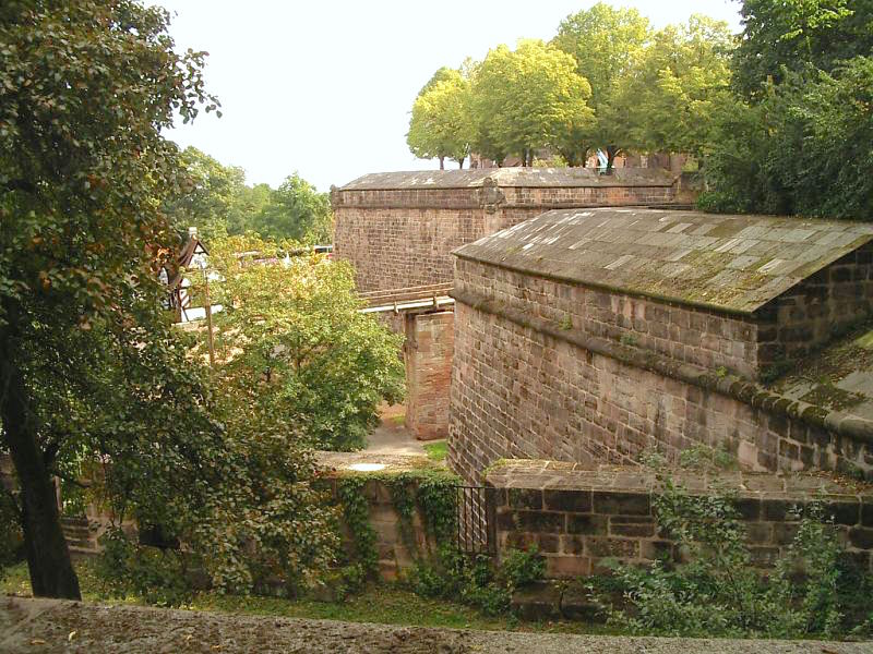
Nuremberg (, ; ; in the local East Franconian dialect: ''Nämberch'' ) is the Franconia#Towns and cities, largest city in Franconia, the List of cities in Bavaria by population, second-largest city in the States of Germany, German state of Bavaria, and its 544,414 (2023) inhabitants make it the List of cities in Germany by population, 14th-largest city in Germany. Nuremberg sits on the Pegnitz (river), Pegnitz, which carries the name Regnitz from its confluence with the Rednitz in Fürth onwards (), and on the Rhine–Main–Danube Canal, that connects the North Sea to the Black Sea. Lying in the Bavarian Regierungsbezirk, administrative region of Middle Franconia, it is the largest city and unofficial capital of the entire cultural region of Franconia. The city is surrounded on three sides by the , a large forest, and in the north lies (''garlic land''), an extensive vegetable growing area and cultural landscape. The city forms a continuous conurbation with the neighbouring ... [...More Info...] [...Related Items...] OR: [Wikipedia] [Google] [Baidu] |
Mark (currency)
The mark was a currency or unit of account in many states. It is named for the mark unit of weight. The word ''mark'' comes from a merging of three Germanic words, Latinised in 9th-century post-classical Latin as ', ', ' or '. It was a measure of weight mainly for gold and silver, commonly used throughout Europe and often equivalent to . Considerable variations, however, occurred throughout the Middle Ages. the only circulating currency named "mark" is the Bosnia and Herzegovina convertible mark. List of currencies named "mark" or similar "Mark" can refer * to one of the following historical German currencies: ** Since the 11th century: the , used in the Electorate of Cologne; ** 1319: the , minted and used by the North German Hanseatic city of Stralsund and various towns in Pomerania; ** 1502: the , a uniform coinage for the '' Wends'' () Hanseatic cities of Lübeck, Hamburg, Wismar, Lüneburg, Rostock, Stralsund, Anklam, among others, who joined the Wends Coinage Un ... [...More Info...] [...Related Items...] OR: [Wikipedia] [Google] [Baidu] |
Greifenstein
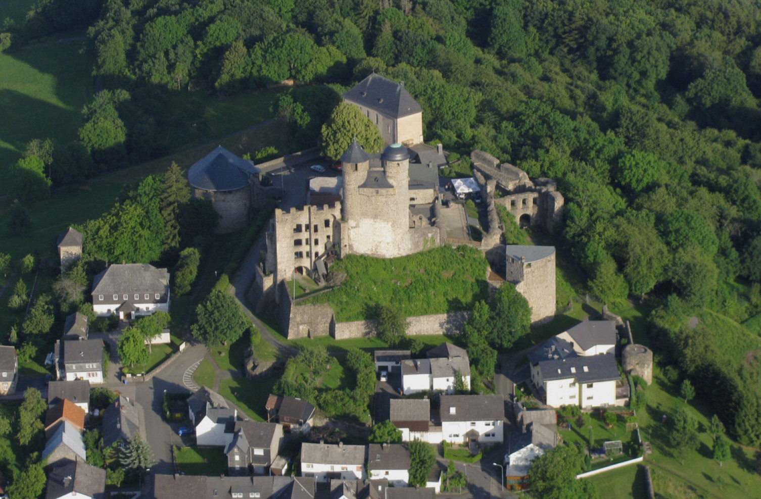
Greifenstein is a municipality in the Lahn-Dill-Kreis in Hesse, Germany. Its administrative seat is Beilstein. Greifenstein covers 67.43 km2 on the eastern slope of the Westerwald range. It was named for the Greifenstein Castle (Hesse), castle of the same name in the constituent community of the same name. Greifenstein is the site of the German Bell Museum (''Deutsches Glockenmuseum''), which holds about fifty bells that show the historical development of bell pouring and manufacture. Geography Neighbouring communities Greifenstein borders in the northwest on the community of Driedorf, in the north on the town of Herborn (Hesse), Herborn and the community of Sinn (Hesse), Sinn, in the east on the community of Ehringshausen, in the south on the town of Leun (all in the Lahn-Dill-Kreis) and the community of Löhnberg, and in the southwest on the community of Mengerskirchen (both in Limburg-Weilburg). Constituent communities The community was founded as part of Hesse's mu ... [...More Info...] [...Related Items...] OR: [Wikipedia] [Google] [Baidu] |
Bad Ems
Bad Ems () is a town in Rhineland-Palatinate, Germany. It is the administrative seat of the Rhein-Lahn rural district and is well known as a spa on the river Lahn. Bad Ems was the seat of Bad Ems collective municipality, which has been merged into the Bad Ems-Nassau collective municipality. The town has around 9,000 inhabitants. In 2021, the town became part of the transnational UNESCO World Heritage Site under the name "Great Spa Towns of Europe", because of its famous hot springs and 18-20th century architecture bearing testimony to the popularity of spa resorts in Europe during that time. Geography The town is located on both banks of the River Lahn, the natural border between the Taunus and the Westerwald, two parts of the Rhenish Slate Mountains. The town and its outer districts are situated within the Nassau Nature Reserve. History In Roman times, a ''castrum'' was built at Bad Ems as part of the Upper Germanic Limes, but today not much of the structure remains. ... [...More Info...] [...Related Items...] OR: [Wikipedia] [Google] [Baidu] |


