|
Ellesmere Port Boat Museum
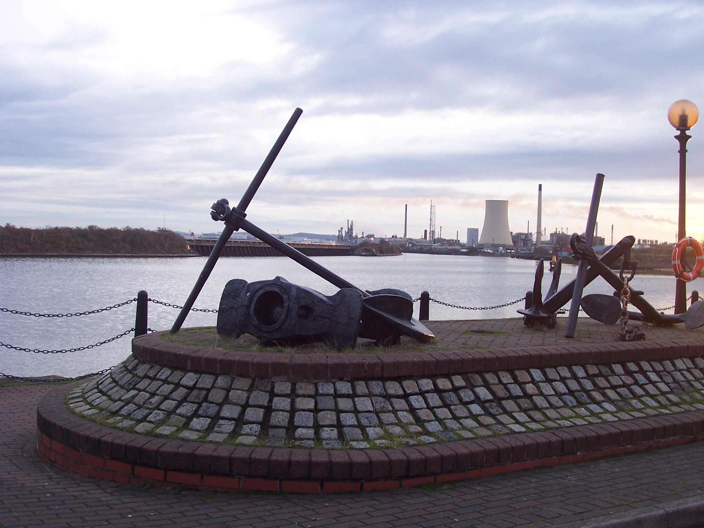
The National Waterways Museum (NWM) is in Ellesmere Port, Cheshire, England, at the northern end of the Shropshire Union Canal where it meets the Manchester Ship Canal (). The museum's collections and archives focus on the Britain's navigable inland waterways, including its rivers and canals, and include canal boats, traditional clothing, painted canal decorative ware and tools. It is one of several museums and attractions operated by the Canal & River Trust, the successor to The Waterways Trust. History Industrial age The museum site occupies the former Netherpool port that was designed by Thomas Telford, under the direction of William Jessop, for the ill-fated Ellesmere Canal. The proposed waterway in England and Wales was planned to carry commercial traffic between the rivers Mersey and Severn. The museum's historic buildings are all that remain of the inland port that transferred goods and cargo from narrowboats onto rivercraft that would then sail to the docks at Liverpo ... [...More Info...] [...Related Items...] OR: [Wikipedia] [Google] [Baidu] |
Ellesmere Port
Ellesmere Port ( ) is a port town in the Cheshire West and Chester borough in Cheshire, England. Ellesmere Port is on the south eastern edge of the Wirral Peninsula, north of Chester, south of Birkenhead, southwest of Runcorn and south of Liverpool. The town had a population of 61,090 in the 2011 census. Ellesmere Port also forms part of the wider Birkenhead urban area, which had a population of 325,264 in 2011. The town was originally established on the River Mersey at the entrance to the Ellesmere Canal. As well as a service sector economy, it has retained large industries including Stanlow oil refinery, a chemical works and the Vauxhall Motors car factory. There are also a number of tourist attractions including the National Waterways Museum, the Blue Planet Aquarium and Cheshire Oaks Designer Outlet. History The town of Ellesmere Port was founded at the outlet of the never-completed Ellesmere Canal. The canal (now renamed) was designed and engineered by Wil ... [...More Info...] [...Related Items...] OR: [Wikipedia] [Google] [Baidu] |
Chester Canal
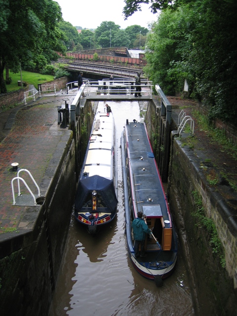
The Chester Canal was an English canal linking the south Cheshire town of Nantwich with the River Dee at Chester. It was intended to link Chester to Middlewich, with a branch to Nantwich, but the Trent and Mersey Canal were unco-operative about a junction at Middlewich, and so the route to Nantwich was opened in 1779. There were also difficulties negotiating with the River Dee Company, and with no possibility of through traffic, the canal was uneconomic. Part of it was closed in 1787, when Beeston staircase locks collapsed, and there was no money to fund repairs. When the Ellesmere Canal was proposed in 1790, the company saw it as a ray of hope, and somehow managed to keep the struggling canal open. The Ellesmere Canal provided a link to the River Mersey at Ellesmere Port from 1797, and the fortunes of the Chester Canal began to improve. The Ellesmere Canal was also building branches in North Wales, which were intended to link up to the River Dee at Chester, but eventually ... [...More Info...] [...Related Items...] OR: [Wikipedia] [Google] [Baidu] |
Northamptonshire
Northamptonshire (; abbreviated Northants.) is a county in the East Midlands of England. In 2015, it had a population of 723,000. The county is administered by two unitary authorities: North Northamptonshire and West Northamptonshire. It is known as "The Rose of the Shires". Covering an area of 2,364 square kilometres (913 sq mi), Northamptonshire is landlocked between eight other counties: Warwickshire to the west, Leicestershire and Rutland to the north, Cambridgeshire to the east, Bedfordshire to the south-east, Buckinghamshire to the south, Oxfordshire to the south-west and Lincolnshire to the north-east – England's shortest administrative county boundary at 20 yards (19 metres). Northamptonshire is the southernmost county in the East Midlands. Apart from the county town of Northampton, other major population centres include Kettering, Corby, Wellingborough, Rushden and Daventry. Northamptonshire's county flower is the cowslip. The Soke of Peterborough fal ... [...More Info...] [...Related Items...] OR: [Wikipedia] [Google] [Baidu] |
Stoke Bruerne
Stoke Bruerne is a small village and civil parish in West Northamptonshire, England about north of Milton Keynes and south of Northampton. The civil parish population at the 2011 Census was 373. History Stoke Bruerne is mentioned in the Domesday Book in 1086 as "Stoche" meaning "an outlying farmstead or hamlet". The form "Stokbruer" is used in 1254 being a suffix by the "Briwere" family of the Manor House. The village is fairly typical for this area of south Northamptonshire containing many traditional stone and thatched cottages. The village's main claim to fame is its situation on the Grand Union Canal making it a favourite destination for tourists. The population is split 196 male and 199 female in 169 households ( 2001 census). The parish is currently governed as part of West Northamptonshire. Before local government changes in 2021 it was part of Tove Ward, named after the River Tove, of the district council of South Northamptonshire. The nearby country estate of Stok ... [...More Info...] [...Related Items...] OR: [Wikipedia] [Google] [Baidu] |
The Canal Museum
The Canal Museum, formerly known as the "National Waterways Museum Stoke Bruerne" and "The Canal Museum at Stoke Bruerne", is a canal museum located next to the Grand Union Canal just south of the Blisworth Tunnel, near the village of Stoke Bruerne in Northamptonshire. It is about north of Milton Keynes and south of Northampton near junction 15 of the M1 motorway. History The museum was formerly known as the "National Waterways Museum Stoke Bruerne", one of three museums operated by The Waterways Trust that focused on the history of canals in Britain. After the creation of the Canal & River Trust in 2010, the Stoke Bruerne museum was rebranded as "The Canal Museum", its original name. Museum The museum is housed in a restored Grade II listed corn mill at the top of a flight of canal locks, and is one of several museums and attractions operated by the Canal & River Trust, the successor to The Waterways Trust. The museum tells the story of Britain's inland waterways and th ... [...More Info...] [...Related Items...] OR: [Wikipedia] [Google] [Baidu] |
Gloucester
Gloucester ( ) is a cathedral city and the county town of Gloucestershire in the South West of England. Gloucester lies on the River Severn, between the Cotswolds to the east and the Forest of Dean to the west, east of Monmouth and east of the border with Wales. Including suburban areas, Gloucester has a population of around 132,000. It is a port, linked via the Gloucester and Sharpness Canal to the Severn Estuary. Gloucester was founded by the Romans and became an important city and '' colony'' in AD 97 under Emperor Nerva as '' Colonia Glevum Nervensis''. It was granted its first charter in 1155 by Henry II. In 1216, Henry III, aged only nine years, was crowned with a gilded iron ring in the Chapter House of Gloucester Cathedral. Gloucester's significance in the Middle Ages is underlined by the fact that it had a number of monastic establishments, including: St Peter's Abbey founded in 679 (later Gloucester Cathedral), the nearby St Oswald's Priory, Glo ... [...More Info...] [...Related Items...] OR: [Wikipedia] [Google] [Baidu] |
Gloucester Waterways Museum
Gloucester Waterways Museum is housed in a Victorian warehouse at Gloucester Docks in the city of Gloucester, England. It is located along the Gloucester and Sharpness Canal and River Severn. It is one of several museums and attractions operated by the Canal & River Trust, the successor to The Waterways Trust. History The museum opened in 1988. Formerly known as the "National Waterways Museum, Gloucester", it was one of three museums operated by the Waterways Trust that focussed on the history of canals in Britain. The museum went through extensive refurbishments between 2007 and 2008, adding new galleries. In the summer of 2010 the Gloucester site was renamed the Gloucester Waterways Museum, focussing on the local area. This meant that the museum could apply for funding of a different type from the types that were available to national museums. The museum features a collection of boats including narrowboats, river barges, canal and river tugs, and a steam-powered dredger. Th ... [...More Info...] [...Related Items...] OR: [Wikipedia] [Google] [Baidu] |
Inland Waterway
A body of water, such as a river, canal or lake, is navigable if it is deep, wide and calm enough for a water vessel (e.g. boats) to pass safely. Such a navigable water is called a ''waterway'', and is preferably with few obstructions against direct traverse that needed avoiding, such as rocks, reefs or trees. Bridges built over waterways must have sufficient clearance. High flow speed may make a channel unnavigable due to risk of ship collisions. Waters may be unnavigable because of ice, particularly in winter or high-latitude regions. Navigability also depends on context: a small river may be navigable by smaller craft such as a motorboat or a kayak, but unnavigable by a larger freighter or cruise ship. Shallow rivers may be made navigable by the installation of locks that regulate flow and increase upstream water level, or by dredging that deepens parts of the stream bed. Inland water transport systems Inland Water Transport (IWT) Systems have been used for centuries in c ... [...More Info...] [...Related Items...] OR: [Wikipedia] [Google] [Baidu] |
EP Boat Museum
EP, ep, or Ep may refer to: Arts and entertainment Music * Extended play, a recording that contains more than a single, but less than a full album * Electric piano * Entity Paradigm, a Pakistani rock band * ''EP'' (The 77s EP), 1999 * ''EP'' (Beth Ditto EP), 2011 * ''EP'' (Childish Gambino EP), 2011 * ''EP'' (Crystal Antlers EP), 2008 * ''EP'' (The Fiery Furnaces album), 2005 * ''EP'' (The Format EP), 2002 * ''EP'' (Luna EP), 1996 * ''EP'' (Matchbox Twenty EP), 2003 * ''EP'' (Mogwai EP), 1999 * ''(The EP)'', an EP by Owen, 2004 * ''The EP'' (3for3 EP), 2015 * ''The EP'' (Frank n Dank album), 2007 * ''E.P.'', an EP by Alkaline Trio, 2020 * ''EP'', an EP by Hope & Social, 2008 * ''EP'', an EP by Red Flag, 1996 Other uses in arts and entertainment * ''EP Daily'', an entertainment-media news TV show * Episode, sometimes abbreviated as ''Ep'' or ''ep'' * Executive producer, a non-technical producer of an entertainment production Businesses and organisations Government a ... [...More Info...] [...Related Items...] OR: [Wikipedia] [Google] [Baidu] |
Heritage Lottery Fund
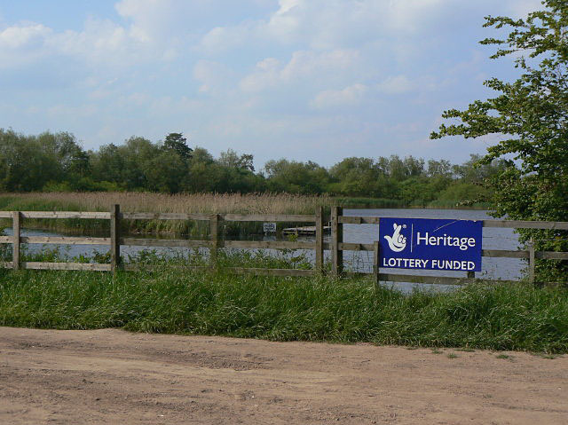
The National Lottery Heritage Fund, formerly the Heritage Lottery Fund (HLF), distributes a share of National Lottery funding, supporting a wide range of heritage projects across the United Kingdom. History The fund's predecessor bodies were the National Land Fund, established in 1946, and the National Heritage Memorial Fund, established in 1980. The current body was established as the "Heritage Lottery Fund" in 1994. It was re-branded as the National Lottery Heritage Fund in January 2019. Activities The fund's income comes from the National Lottery which is managed by Camelot Group. Its objectives are "to conserve the UK's diverse heritage, to encourage people to be involved in heritage and to widen access and learning". As of 2019, it had awarded £7.9 billion to 43,000 projects. In 2006, the National Lottery Heritage Fund launched the Parks for People program with the aim to revitalize historic parks and cemeteries. From 2006 to 2021, the Fund had granted £254million ... [...More Info...] [...Related Items...] OR: [Wikipedia] [Google] [Baidu] |
Shropshire Canal
The Shropshire Canal was a tub boat canal built to supply coal, ore and limestone to the industrial region of east Shropshire, England, that adjoined the River Severn at Coalbrookdale. It ran from a junction with the Donnington Wood Canal ascending the 316 yard long Wrockwardine Wood inclined plane to its summit level, it made a junction with the older Ketley Canal and at Southall Bank the Coalbrookdale (Horsehay) branch went to Brierly Hill above Coalbrookdale; the main line descended via the 600 yard long Windmill Incline and the 350 yard long Hay Inclined Plane to Coalport on the River Severn. The short section of the Shropshire Canal from the base of the Hay Inclined Plane to its junction with the River Severn is sometimes referred to as the Coalport Canal. Construction of the canal was completed in 1792, and it operated successfully until the 1830s. The construction and operation of the Hay inclined plane was documented by two Prussian engineers who visited it in 1826 or 18 ... [...More Info...] [...Related Items...] OR: [Wikipedia] [Google] [Baidu] |
Montgomery Canal
The Montgomery Canal ( cy, Camlas Trefaldwyn), known colloquially as "The Monty", is a partially restored canal in eastern Powys and northwest Shropshire. The canal runs from the Llangollen Canal at Frankton Junction to Newtown via Llanymynech and Welshpool and crosses the England–Wales border. Originally, the canal from Llanymynech to Newtown was known as the Montgomeryshire Canal. It was named after the county of Montgomeryshire that it ran through and it was divided into Western and Eastern branches which met at Garthmyl. At Carreghofa Locks near Llanymynech, the Montgomeryshire Canal connected to the Llanymynech Branch of the Ellesmere Canal. These elements of the present-day Montgomery Canal were unified when they each became part of the Shropshire Union system: the Ellesmere Canal in 1846, the Eastern Branch in 1847 and the Western Branch in 1850. The canal fell into disuse following a breach in 1936 and was officially abandoned in 1944. With the revival of canal ... [...More Info...] [...Related Items...] OR: [Wikipedia] [Google] [Baidu] |


_drawn_and_engraved_under_the_direction_of_Edward_Wedlake_Brayley.jpg)


