|
De Naald (Heemstede)
De Naald (''the Needle'') is a monument in Heemstede, Netherlands, erected in 1817 by the city council to commemorate two battles on the Manpad road running next to the site. The site is at the corner of the Manpad, and Herenweg, on property belonging to the estate 'Huis te Manpad'. Inscription History De Naald is the name the locals have given the monument. The 'needle' has often been mistaken for the border mark between Heemstede and Bennebroek, but in fact the border is further south. :nl:David Jacob van Lennep (classicus), who lived in the 'Huis te Manpad' behind the monument, was a Dutch poet and professor of classical languages in Amsterdam. His son, Jacob van Lennep, who was 15 at the time of the monument's placement, later wrote a song commemorating 'Witte van Haemstede', one of the heroes mentioned on the monument. Later historians have questioned whether these events did in fact take place, and also whether the location is correct. [...More Info...] [...Related Items...] OR: [Wikipedia] [Google] [Baidu] |
The Hague
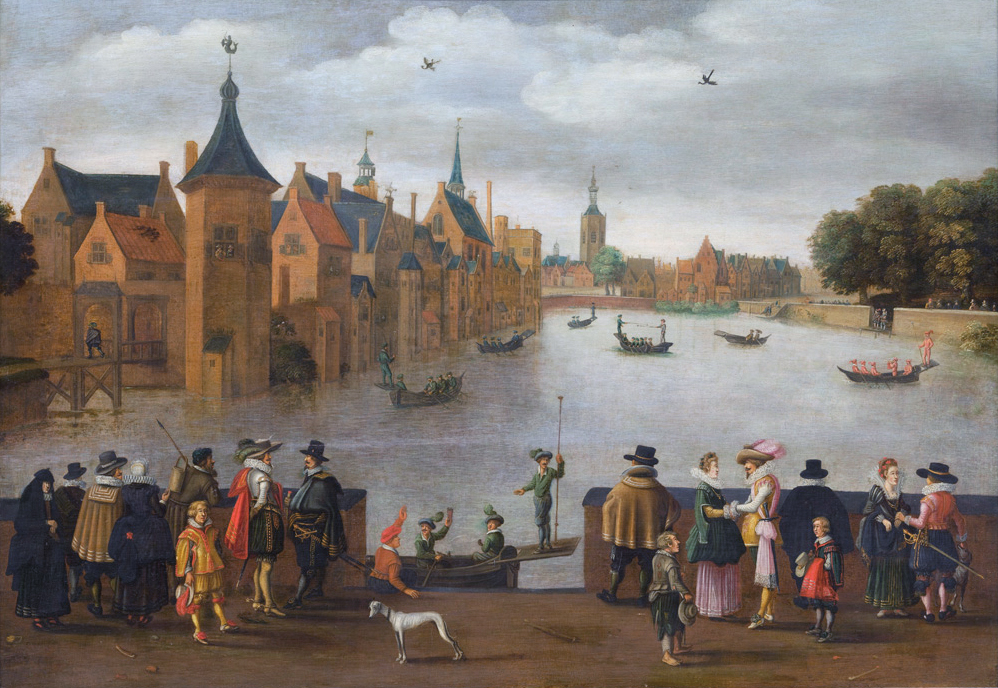
The Hague ( ; nl, Den Haag or ) is a city and municipality of the Netherlands, situated on the west coast facing the North Sea. The Hague is the country's administrative centre and its seat of government, and while the official capital of the Netherlands is Amsterdam, The Hague has been described as the country's de facto capital. The Hague is also the capital of the province of South Holland, and the city hosts both the International Court of Justice and the International Criminal Court. With a population of over half a million, it is the third-largest city in the Netherlands, after Amsterdam and Rotterdam. The Hague is the core municipality of the Greater The Hague urban area, which comprises the city itself and its suburban municipalities, containing over 800,000 people, making it the third-largest urban area in the Netherlands, again after the urban areas of Amsterdam and Rotterdam. The Rotterdam–The Hague metropolitan area, with a population of approximately 2.6&n ... [...More Info...] [...Related Items...] OR: [Wikipedia] [Google] [Baidu] |
Obelisks In The Netherlands
An obelisk (; from grc, ὀβελίσκος ; diminutive of ''obelos'', " spit, nail, pointed pillar") is a tall, four-sided, narrow tapering monument which ends in a pyramid-like shape or pyramidion at the top. Originally constructed by Ancient Egyptians and called ''tekhenu'', the Greeks used the Greek term to describe them, and this word passed into Latin and ultimately English. Ancient obelisks are monolithic; they consist of a single stone. Most modern obelisks are made of several stones. Ancient obelisks Egyptian Obelisks were prominent in the architecture of the ancient Egyptians, and played a vital role in their religion placing them in pairs at the entrance of the temples. The word "obelisk" as used in English today is of Greek rather than Egyptian origin because Herodotus, the Greek traveler, was one of the first classical writers to describe the objects. A number of ancient Egyptian obelisks are known to have survived, plus the " Unfinished Obelisk" found part ... [...More Info...] [...Related Items...] OR: [Wikipedia] [Google] [Baidu] |
History Of Haarlem
Haarlem (; predecessor of ''Harlem'' in English) is a city and municipality in the Netherlands. It is the capital of the province of North Holland. Haarlem is situated at the northern edge of the Randstad, one of the most populated metropolitan areas in Europe; it is also part of the Amsterdam metropolitan area, being located about 15 km to the west of the core city of Amsterdam. Haarlem had a population of in . Haarlem was granted city status or '' stadsrechten'' in 1245, although the first city walls were not built until 1270. The modern city encompasses the former municipality of Schoten as well as parts that previously belonged to Bloemendaal and Heemstede. Apart from the city, the municipality of Haarlem also includes the western part of the village of Spaarndam. Newer sections of Spaarndam lie within the neighbouring municipality of Haarlemmermeer. Geography Haarlem is located on the river Spaarne, giving it its nickname 'Spaarnestad' (Spaarne city). It is situated ... [...More Info...] [...Related Items...] OR: [Wikipedia] [Google] [Baidu] |
Haarlemmermeer
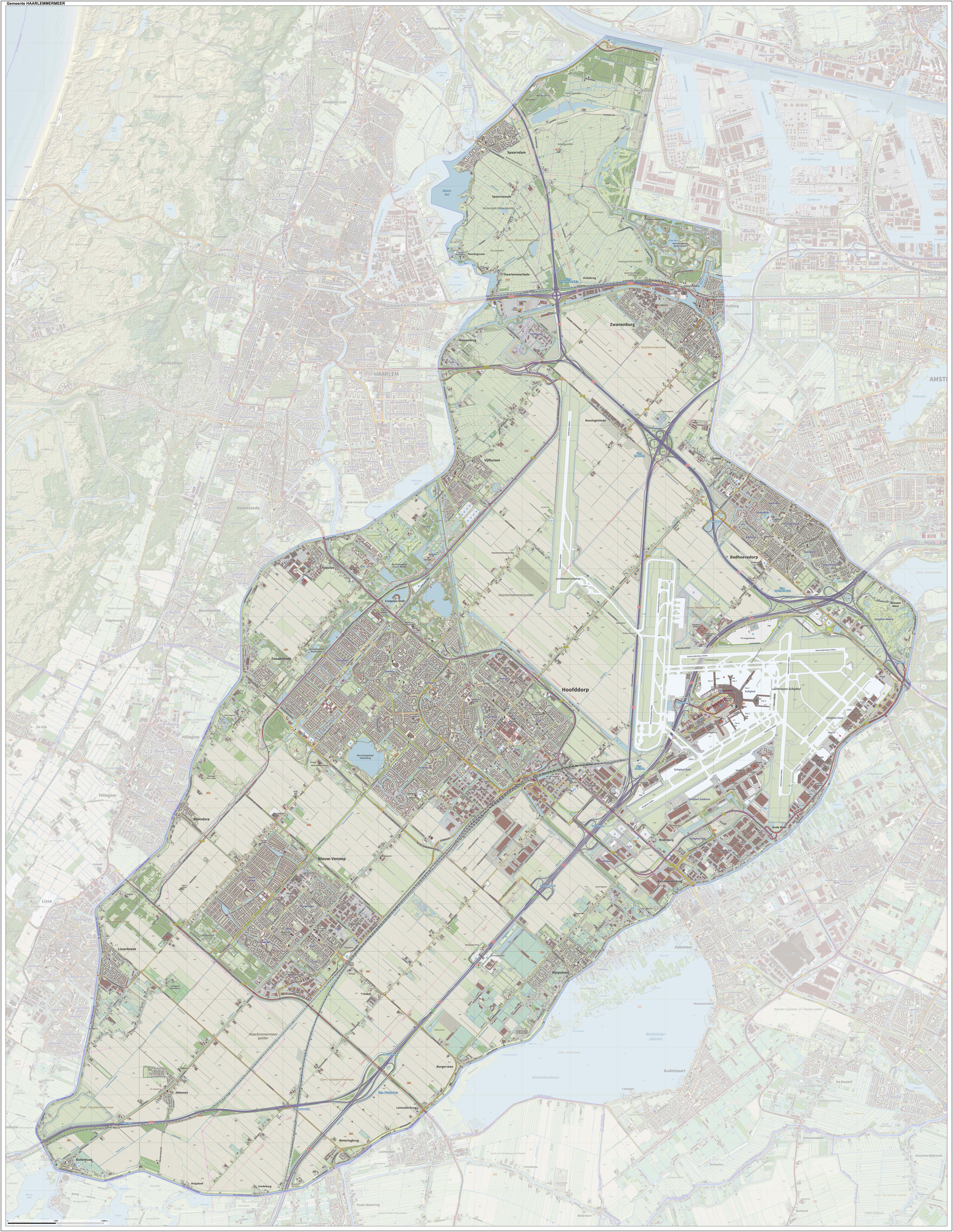
Haarlemmermeer () is a municipality in the west of the Netherlands, in the province of North Holland. Haarlemmermeer is a polder, consisting of land reclaimed from water. The name Haarlemmermeer means ' Haarlem's lake', referring to the body of water from which the region was reclaimed in the 19th century. Haarlemmermeer's main town is Hoofddorp, which has a population of 76,660. Hoofddorp, along with the rapidly growing towns of Nieuw-Vennep and Badhoevedorp, are part of the Randstad agglomeration. The main international airport of the Netherlands, Schiphol, is located in Haarlemmermeer. History The original Haarlemmermeer lake is said to have been mostly a peat bog, a relic of a northern arm of the Rhine which passed through the district in Roman times. In 1531, the original Haarlemmermeer had an area of , and near it were three smaller lakes: the Leidsche Meer (Leiden Lake), the Spiering Meer, and the Oude Meer (Old Lake), with a combined area of about . The four lakes were ... [...More Info...] [...Related Items...] OR: [Wikipedia] [Google] [Baidu] |
Groenendaal Park
Groenendaal park lies at the center of Heemstede, Netherlands. The park includes the grounds of old Heemstede country estates Bosbeek, and Meer en Berg. Along its western borders are the old Heemstede country estates Hartekamp, Huis te Manpad, and Iepenrode. On the eastern boundary is the city cemetery. History In the 17th century Groenendaal was mostly sand dunes. The sand was dug and sold to barges that carried it to Amsterdam for building purposes. Later the resulting fields were used for bleaching linen, and still later for growing tulip bulbs. During the heyday of the tulip craze, Amsterdam merchants purchased land in the Haarlem-Heemstede area for summer homes. Groenendaal park is situated at the site of the former summer home of Amsterdam banker Jan Hope, whose estate Bosbeek was the first example of a large garden in the 'English Style' in the 18th century in the Netherlands. The grounds are part of a long sandy ridge of deciduous forest running in a straight line fr ... [...More Info...] [...Related Items...] OR: [Wikipedia] [Google] [Baidu] |
Leiden
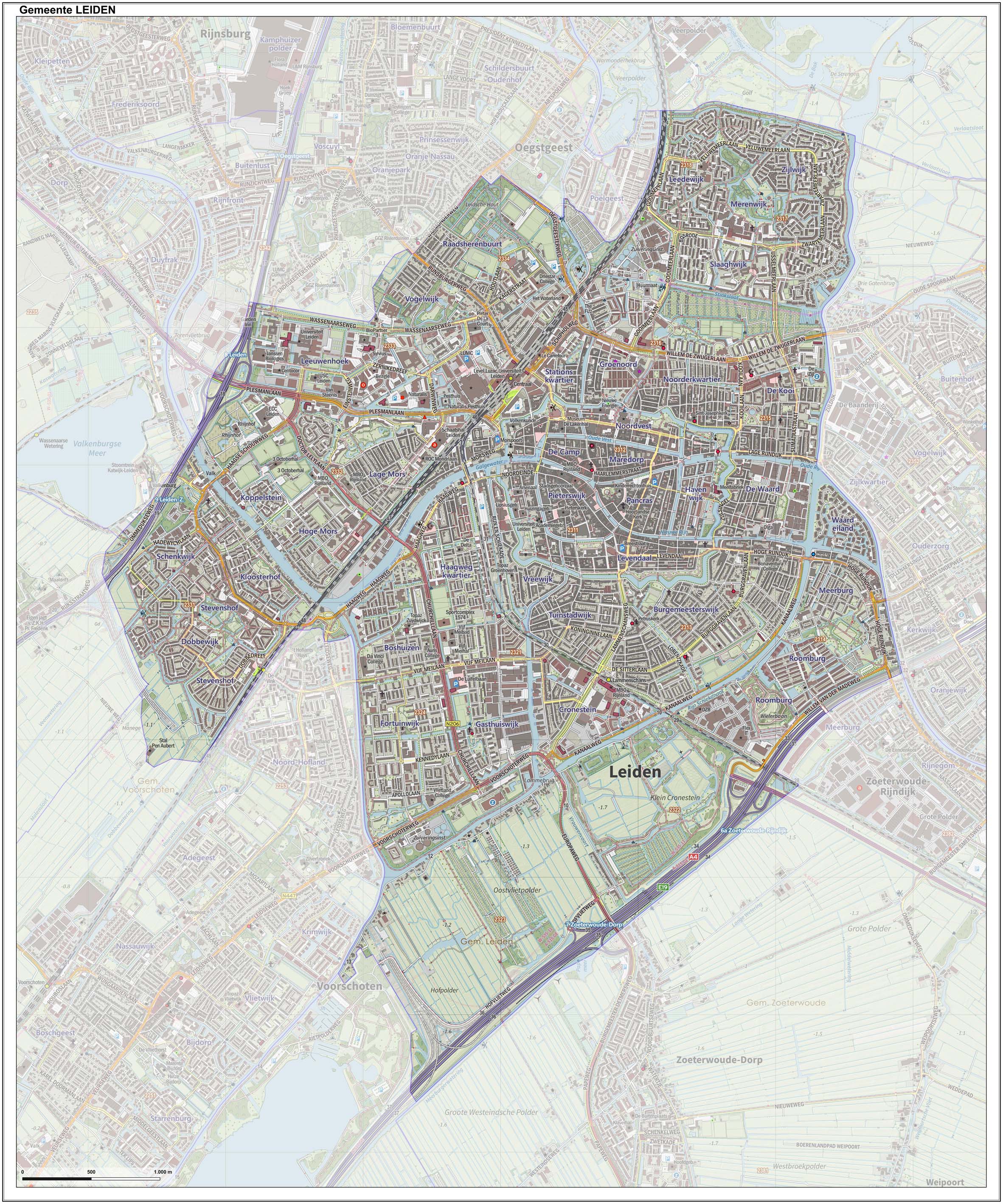
Leiden (; in English and archaic Dutch also Leyden) is a city and municipality in the province of South Holland, Netherlands. The municipality of Leiden has a population of 119,713, but the city forms one densely connected agglomeration with its suburbs Oegstgeest, Leiderdorp, Voorschoten and Zoeterwoude with 206,647 inhabitants. The Netherlands Central Bureau of Statistics (CBS) further includes Katwijk in the agglomeration which makes the total population of the Leiden urban agglomeration 270,879, and in the larger Leiden urban area also Teylingen, Noordwijk, and Noordwijkerhout are included with in total 348,868 inhabitants. Leiden is located on the Oude Rijn, at a distance of some from The Hague to its south and some from Amsterdam to its north. The recreational area of the Kaag Lakes (Kagerplassen) lies just to the northeast of Leiden. A university city since 1575, Leiden has been one of Europe's most prominent scientific centres for more than four centuries. Leide ... [...More Info...] [...Related Items...] OR: [Wikipedia] [Google] [Baidu] |
Leidsevaart
The Leidsevaart (also known as Leidse trekvaart, Dutch for "Leiden's Pull-Canal") is a canal between the cities of Haarlem and Leiden in the Netherlands. It was dug in 1657, making it one of the oldest canals in the Netherlands. It was the major means of transport between Leiden and Haarlem for almost two centuries until the rail connection was established in the 19th century. The original stops along the railway mirrored the toll bridges of the canal. The canal runs through or borders the municipalities of Haarlem, Heemstede, Bloemendaal, Hillegom, Noordwijkerhout, Lisse, Teylingen, Oegstgeest, and Leiden. History The Leidsevaart was the extension of the ''Haarlemmertrekvaart'' (Haarlem's Pull-Canal) connecting Amsterdam to Haarlem. Travel on these canals was done by trekschuit for people, and by barge for goods, which were pulled by animals (and sometimes by man-power) on a towpath along the canal's edge. It was reliable, comfortable and cheap. The speed was about 7 kilometers ... [...More Info...] [...Related Items...] OR: [Wikipedia] [Google] [Baidu] |
Vogelenzang
Vogelenzang is a village in the municipality of Bloemendaal, North Holland, Netherlands. The name "Vogelenzang" is Dutch for " bird song". Attractions The ''Huis te Vogelenzang'' (House at Vogelenzang) was built circa 1600 by the Counts of Holland and was rebuilt in a neoclassical style 200 years later. Today the privately owned estate has 80 hectares of park grounds consisting of old coastal dunes and plains with historic pastures. Since 1853 Amsterdam obtains its fresh potable water from the so-called '' Amsterdamse Waterleidingduinen'' (Water Supply Dunes) near Vogelenzang (but mostly within Zandvoort Zandvoort () is a municipality in the province of North Holland, Netherlands. It is one of the major beach resorts of the Netherlands; it has a long sandy beach. It is bordered by coastal dunes of Zuid-Kennemerland National Park and the Amsterdam ... municipality). It uses of sand dunes to filter water and is the oldest location used as such in the Netherlands. Vogelenzang ... [...More Info...] [...Related Items...] OR: [Wikipedia] [Google] [Baidu] |
Zandvoort
Zandvoort () is a municipality in the province of North Holland, Netherlands. It is one of the major beach resorts of the Netherlands; it has a long sandy beach. It is bordered by coastal dunes of Zuid-Kennemerland National Park and the Amsterdam water supply dunes. It hosts the country's most prominent motor racing circuit, Circuit Zandvoort. The municipality of extends to take in Bentveld; it had a population of 16,954 in 2017. A nudist bathing section of the beach begins about 2 km to the south, with six eateries, which extends kilometers further. History Zandvoort is known to exist in 1100, called ''Sandevoerde'' (a combination of "sand" and "''voorde''", meaning ford; compare English '' Sandford''). Until 1722 the area was under the control of the Lords of Brederode. The village was dependent on fishing for many centuries until the 19th century when it started to transform itself into a seaside resort, following the pattern set by similar towns in the United Kingd ... [...More Info...] [...Related Items...] OR: [Wikipedia] [Google] [Baidu] |
Alkmaar
Alkmaar () is a city and municipality in the Netherlands, located in the province of North Holland, about 30 km north of Amsterdam. Alkmaar is well known for its traditional cheese market. For tourists, it is a popular cultural destination. The municipality has a population of 109,896 as of 2021. History The earliest mention of the name Alkmaar is in a 10th-century document. As the village grew into a town, it was granted city rights in 1254. The oldest part of Alkmaar lies on an ancient sand bank a couple meters above the surrounding region; it afforded some protection from inundation during medieval times. Its vicinage consists of some of the oldest polders in existence. Older spellings include Alckmar. On June 24, 1572, after the Geuzen captured the town, five Franciscans from Alkmaar were taken to Enkhuizen and hanged (martyrs of Alkmaar). Siege of Alkmaar In 1573 the city underwent a siege by Spanish forces under the leadership of Don Fadrique, son of the Duke of Alv ... [...More Info...] [...Related Items...] OR: [Wikipedia] [Google] [Baidu] |


