|
Church Warsop
Church Warsop is a village in Nottinghamshire, England. It is located 1 mile north of Warsop and is within the Warsop civil parish. The parish church of St Peter and St Paul is early Norman.Pevsner, Nikolaus. 1979. ''The Buildings of England:Nottinghamshire''. page 364. Harmondsworth, Middx. Penguin. The village was built in the 1926 by the Staveley Coal and Iron Company The Staveley Coal and Iron Company Limited was an industrial company based in Staveley, near Chesterfield, North Derbyshire. History The company was registered in 1863, appearing in provincial stock exchange reports from 1864. It exploited loc ... to house colliery workers and their families working at their Warsop Main Colliery located in nearby Warsop Vale. There is also a second church, the "Chapel of Bethlem", from the same date as much of the village. References External links Villages in Nottinghamshire Mansfield District {{Nottinghamshire-geo-stub ... [...More Info...] [...Related Items...] OR: [Wikipedia] [Google] [Baidu] |
Mansfield
Mansfield is a market town and the administrative centre of Mansfield District in Nottinghamshire, England. It is the largest town in the wider Mansfield Urban Area (followed by Sutton-in-Ashfield). It gained the Royal Charter of a market town in 1227. The town lies in the Maun Valley, north of Nottingham and near Sutton-in-Ashfield. Most of the 109,000 population live in the town itself (including Mansfield Woodhouse), with Warsop as a secondary centre. Mansfield is the one local authority in Nottinghamshire with a publicly elected mayor. History Roman to Mediaeval Period Settlement dates to the Roman period. Major Hayman Rooke in 1787 discovered a villa between Mansfield Woodhouse and Pleasley; a cache of denarii was found near King's Mill in 1849. Early English royalty stayed there; Mercian Kings used it as a base to hunt in Sherwood Forest. The Royal Manor of Mansfield was held by the King. In 1042 Edward the Confessor possessed a manor in Mansfield. William the Conqu ... [...More Info...] [...Related Items...] OR: [Wikipedia] [Google] [Baidu] |
Nottinghamshire
Nottinghamshire (; abbreviated Notts.) is a landlocked county in the East Midlands region of England, bordering South Yorkshire to the north-west, Lincolnshire to the east, Leicestershire to the south, and Derbyshire to the west. The traditional county town is Nottingham, though the county council is based at County Hall in West Bridgford in the borough of Rushcliffe, at a site facing Nottingham over the River Trent. The districts of Nottinghamshire are Ashfield, Bassetlaw, Broxtowe, Gedling, Mansfield, Newark and Sherwood, and Rushcliffe. The City of Nottingham was administratively part of Nottinghamshire between 1974 and 1998, but is now a unitary authority, remaining part of Nottinghamshire for ceremonial purposes. The county saw a minor change in its coverage as Finningley was moved from the county into South Yorkshire and is part of the City of Doncaster. This is also where the now-closed Doncaster Sheffield Airport is located (formerly Robin Hood Airport). In 20 ... [...More Info...] [...Related Items...] OR: [Wikipedia] [Google] [Baidu] |
Mansfield (UK Parliament Constituency)
Mansfield is a constituency created in 1885 represented in the House of Commons of the UK Parliament since 2017 by Ben Bradley of the Conservative Party, who gained the seat at the 2017 general election, from the Labour Party. This is the first time the seat has been represented by a Conservative since its creation in 1885. The seat is centred on Mansfield in Nottinghamshire. The seat, in recent times, has been considered a relatively marginal seat. The Mansfield council area voted with more than 70% to Leave the European Union in the 2016 referendum. In 2019, the Conservatives received 63.9% of the vote in the formerly safe Labour constituency. Boundaries The constituency covers the towns of Mansfield and Warsop, Nottinghamshire. Latest boundary review The Boundary Commission for England caused changes to constituency to allow for regional and local population changes, noticeably by moving the small town of Market Warsop from Bassetlaw into Mansfield constituency. The ... [...More Info...] [...Related Items...] OR: [Wikipedia] [Google] [Baidu] |
Warsop
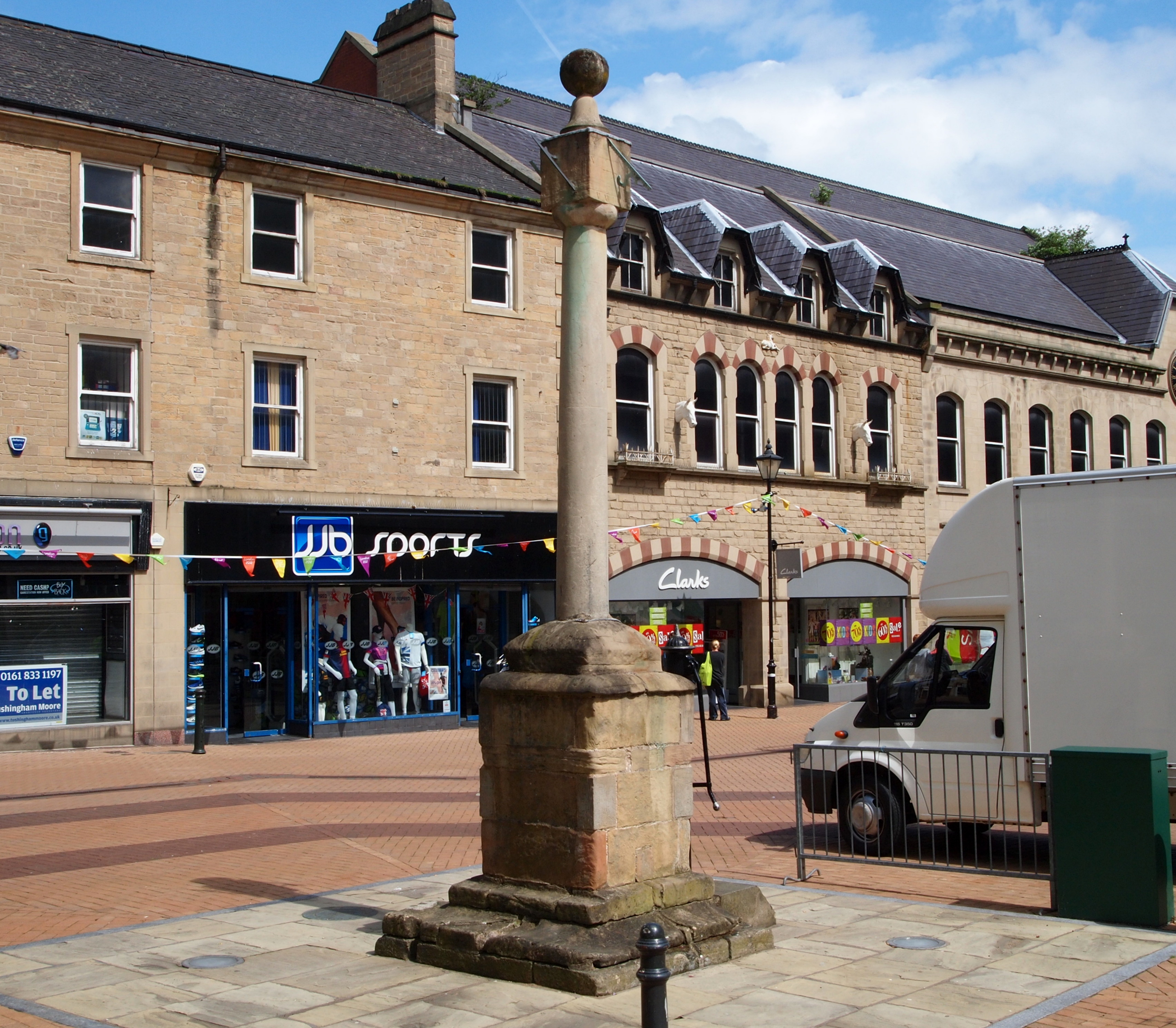
Warsop is a town and civil parish in the Mansfield district, Nottinghamshire, England, on the outskirts of the remnants of Sherwood Forest.OS Explorer Map 270: Sherwood Forest: (1:25 000): At the 2001 census it had a population of 12,365, reducing to 11,999 at the 2011 Census including Church Warsop, Meden Vale and Spion Kop. Governance The parish was an urban district in Nottinghamshire until 1974, when it joined with Mansfield Borough and Woodhouse Urban District Council to form Mansfield District Council. Warsop retains a council, as a successor parish, including the localities of Market Warsop, Church Warsop, Meden Vale, Warsop Vale and Spion Kop. The council is based at Warsop Town Hall. After re-alignment of local wards within Mansfield District Council before the 2011 local elections to achieve a standard format of one councillor-per-ward, Warsop has four designated areas named as Warsop Carrs, Netherfield, Market Warsop and Meden. Warsop is a part of the Mansfield Pa ... [...More Info...] [...Related Items...] OR: [Wikipedia] [Google] [Baidu] |
Staveley Coal And Iron Company
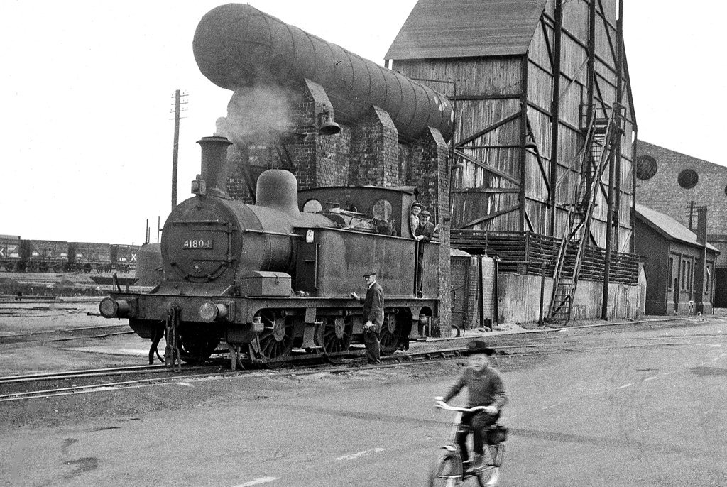
The Staveley Coal and Iron Company Limited was an industrial company based in Staveley, near Chesterfield, North Derbyshire. History The company was registered in 1863, appearing in provincial stock exchange reports from 1864. It exploited local ironstone quarried from land owned by the Duke of Devonshire on the outskirts of the village. It developed into coal mining, owning several collieries and also into chemical production, first from those available from coal tar distillation, later to cover a wide and diverse range. Part of the plant at Staveley was a sulphuric acid manufacturing unit making use of the Contact Process. It was during the years of World War 1 that the company developed its chemical operations beyond coal-tar chemicals and began production of sulphuric and nitric acids. During the war they also made picric acid, TNT and guncotton. Following the end of hostilities the company laid plans to develop a range of chlorinated organics and to this end purchase ... [...More Info...] [...Related Items...] OR: [Wikipedia] [Google] [Baidu] |
Villages In Nottinghamshire
A village is a clustered human settlement or community, larger than a hamlet but smaller than a town (although the word is often used to describe both hamlets and smaller towns), with a population typically ranging from a few hundred to a few thousand. Though villages are often located in rural areas, the term urban village is also applied to certain urban neighborhoods. Villages are normally permanent, with fixed dwellings; however, transient villages can occur. Further, the dwellings of a village are fairly close to one another, not scattered broadly over the landscape, as a dispersed settlement. In the past, villages were a usual form of community for societies that practice subsistence agriculture, and also for some non-agricultural societies. In Great Britain, a hamlet earned the right to be called a village when it built a church. [...More Info...] [...Related Items...] OR: [Wikipedia] [Google] [Baidu] |


