|
Chhijmuri
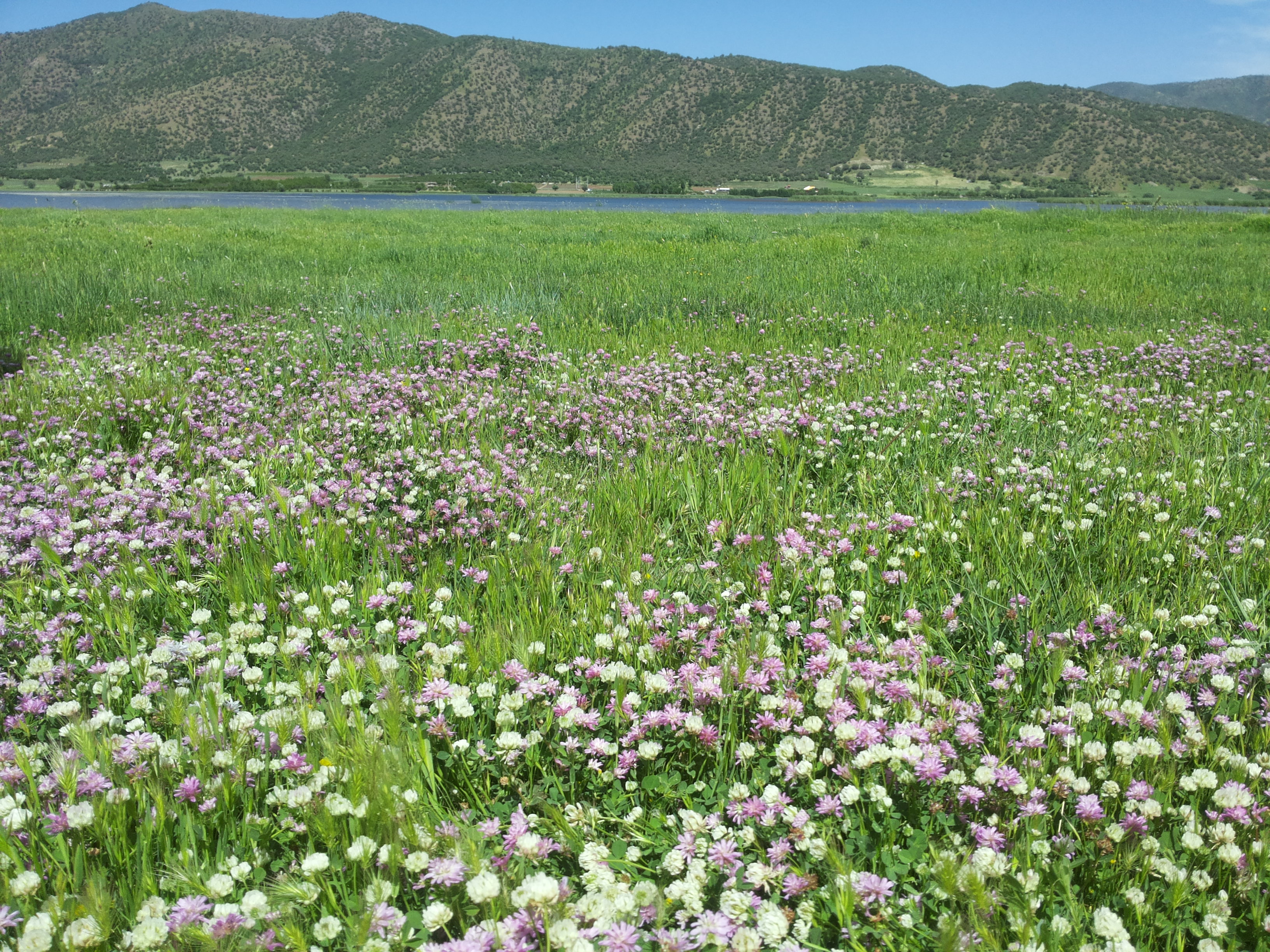
Chhijmuni ( Aymara ''chhijmu'' edible part of the clover plant, ''-ri'' a suffix, also spelled ''Chijmuri'') is a mountain in the Bolivian Andes. It is located in the Cochabamba Department, on the border of the Campero Province, Aiquile Municipality, and the Mizque Province, Mizque Municipality, southeast of Mizque Mizque, Misk'i (from Quechua: ''misk'i'', meaning "sweet") is a town in the Cochabamba Department, Bolivia. It is the capital of the Mizque Province. Mizque is located in the valley of the Mizque River, one of the main tributaries of the Río Gran .... It lies south of the peak of Juch'uy Chhijmuri ( Quechua ''juch'uy'' small, "small Chhijmuri"). The Chhijmuri Mayu originates east of the peak. It flows to the east. References Mountains of Cochabamba Department {{CochabambaBO-geo-stub ... [...More Info...] [...Related Items...] OR: [Wikipedia] [Google] [Baidu] |
Mizque Municipality
Mizque Municipality is the first municipal section of the Mizque Province in the Cochabamba Department, Bolivia. Its seat is Mizque Mizque, Misk'i (from Quechua: ''misk'i'', meaning "sweet") is a town in the Cochabamba Department, Bolivia. It is the capital of the Mizque Province. Mizque is located in the valley of the Mizque River, one of the main tributaries of the Río Gr .... Geography Some of the highest mountains of the municipality are listed below: Subdivision Mizque Municipality is divided into six cantons. References External links Population data and map of Mizque Municipality Municipalities of the Cochabamba Department {{CochabambaBO-geo-stub ... [...More Info...] [...Related Items...] OR: [Wikipedia] [Google] [Baidu] |
Campero Province
Narciso Campero is a province in the Cochabamba Department, Bolivia. Its capital is Aiquile. Aiquile lies on one transportation route between the cities of Cochabamba, Sucre and Santa Cruz. Subdivision The province is divided into three municipalities which are further subdivided into cantons. 1998 earthquake Campero was near the epicenter of an earthquake which struck on May 22, 1998. The shock had a moment magnitude of 6.6 and a maximum Mercalli intensity of VIII (''Severe''). It caused over 100 deaths and left thousands homeless. It was the largest shallow earthquake in Bolivia in over 50 years, and was felt as far away as Cochabamba Cochabamba ( ay, Quchapampa; qu, Quchapampa) is a city and municipality in central Bolivia in a valley in the Andes mountain range. It is the capital of the Cochabamba Department and the fourth largest city in Bolivia, with a population of 630 ... and Sucre (approximately 100 km). The earthquake caused widespread damage over ... [...More Info...] [...Related Items...] OR: [Wikipedia] [Google] [Baidu] |
Aiquile Municipality
Aiquile Municipality is the first municipal section of the Narciso Campero Province in the Cochabamba Department, Bolivia. Its seat is Aiquile. Cantons The municipality is divided into three cantons. They are (their seats in parentheses): * Aiquile Canton - (Aiquile) * Quiroga Canton - (Quiroga) * Villa Granado Canton - (Villa Granado) Languages The languages spoken in the Aiquile Municipality are mainly Quechua and Spanish Spanish might refer to: * Items from or related to Spain: **Spaniards are a nation and ethnic group indigenous to Spain **Spanish language, spoken in Spain and many Latin American countries **Spanish cuisine Other places * Spanish, Ontario, Cana .... (Spanish) See also * ...[...More Info...] [...Related Items...] OR: [Wikipedia] [Google] [Baidu] |
Bolivia
, image_flag = Bandera de Bolivia (Estado).svg , flag_alt = Horizontal tricolor (red, yellow, and green from top to bottom) with the coat of arms of Bolivia in the center , flag_alt2 = 7 × 7 square patchwork with the (top left to bottom right) diagonals forming colored stripes (green, blue, purple, red, orange, yellow, white, green, blue, purple, red, orange, yellow, from top right to bottom left) , other_symbol = , other_symbol_type = Dual flag: , image_coat = Escudo de Bolivia.svg , national_anthem = " National Anthem of Bolivia" , image_map = BOL orthographic.svg , map_width = 220px , alt_map = , image_map2 = , alt_map2 = , map_caption = , capital = La Paz Sucre , largest_city = , official_languages = Spanish , languages_type = Co-official languages , languages ... [...More Info...] [...Related Items...] OR: [Wikipedia] [Google] [Baidu] |
Cochabamba Department
Cochabamba ( ay, Quchapampa Jach'a Suyu, es, Departamento de Cochabamba , qu, Quchapampa Suyu), from Quechua ''qucha'' or ''qhucha'', meaning "lake", ''pampa'' meaning "plain", is one of the nine departments of Bolivia. It is known to be the "granary" of the country because of its variety of agricultural products from its geographical position. It has an area of 55,631 km2. Its population in the 2012 census was 1,758,143. Its capital is the city of Cochabamba, known as the "City of Eternal Spring" and "The Garden City" because of its spring-like temperatures all year. History The Cochabamba valley was inhabited for over a thousand years due to its fertile productive soils and climate. Archaeological evidence suggests that the initial valley inhabitants were of various ethnic indigenous groups. Tiwanaku, Tupuraya, Mojocoya, Omereque and Inca inhabited the valley at various times before the Spanish arrived. The first Spanish inhabitant of the Valley was Garci Ruiz de Orell ... [...More Info...] [...Related Items...] OR: [Wikipedia] [Google] [Baidu] |
Andes
The Andes, Andes Mountains or Andean Mountains (; ) are the longest continental mountain range in the world, forming a continuous highland along the western edge of South America. The range is long, wide (widest between 18°S – 20°S latitude), and has an average height of about . The Andes extend from north to south through seven South American countries: Venezuela, Colombia, Ecuador, Peru, Bolivia, Chile, and Argentina. Along their length, the Andes are split into several ranges, separated by intermediate depressions. The Andes are the location of several high plateaus—some of which host major cities such as Quito, Bogotá, Cali, Arequipa, Medellín, Bucaramanga, Sucre, Mérida, El Alto and La Paz. The Altiplano plateau is the world's second-highest after the Tibetan plateau. These ranges are in turn grouped into three major divisions based on climate: the Tropical Andes, the Dry Andes, and the Wet Andes. The Andes Mountains are the highest m ... [...More Info...] [...Related Items...] OR: [Wikipedia] [Google] [Baidu] |
Aymara Language
Aymara (; also ) is an Aymaran language spoken by the Aymara people of the Bolivian Andes. It is one of only a handful of Native American languages with over one million speakers.The other native American languages with more than one million speakers are Nahuatl, Quechua languages, and Guaraní. Aymara, along with Spanish and Quechua, is an official language in Bolivia and Peru. It is also spoken, to a much lesser extent, by some communities in northern Chile, where it is a recognized minority language. Some linguists have claimed that Aymara is related to its more widely spoken neighbor, Quechua. That claim, however, is disputed. Although there are indeed similarities, like the nearly identical phonologies, the majority position among linguists today is that the similarities are better explained as areal features rising from prolonged cohabitation, rather than natural genealogical changes that would stem from a common protolanguage. Aymara is an agglutinating and, to a cert ... [...More Info...] [...Related Items...] OR: [Wikipedia] [Google] [Baidu] |
Clover
Clover or trefoil are common names for plants of the genus ''Trifolium'' (from Latin ''tres'' 'three' + ''folium'' 'leaf'), consisting of about 300 species of flowering plants in the legume or pea family Fabaceae originating in Europe. The genus has a cosmopolitan distribution with highest diversity in the temperate Northern Hemisphere, but many species also occur in South America and Africa, including at high altitudes on mountains in the tropics. They are small annual, biennial, or short-lived perennial herbaceous plants, typically growing up to 30 cm tall. The leaves are trifoliate (rarely quatrefoiled; see four-leaf clover), monofoil, bifoil, cinquefoil, hexafoil, septfoil, etcetera, with stipules adnate to the leaf-stalk, and heads or dense spikes of small red, purple, white, or yellow flowers; the small, few-seeded pods are enclosed in the calyx. Other closely related genera often called clovers include ''Melilotus'' (sweet clover) and '' Medicago'' ( alfalfa or Calva ... [...More Info...] [...Related Items...] OR: [Wikipedia] [Google] [Baidu] |
Suffix
In linguistics, a suffix is an affix which is placed after the stem of a word. Common examples are case endings, which indicate the grammatical case of nouns, adjectives, and verb endings, which form the conjugation of verbs. Suffixes can carry grammatical information (inflectional suffixes) or lexical information ( derivational/lexical suffixes'').'' An inflectional suffix or a grammatical suffix. Such inflection changes the grammatical properties of a word within its syntactic category. For derivational suffixes, they can be divided into two categories: class-changing derivation and class-maintaining derivation. Particularly in the study of Semitic languages, suffixes are called affirmatives, as they can alter the form of the words. In Indo-European studies, a distinction is made between suffixes and endings (see Proto-Indo-European root). Suffixes can carry grammatical information or lexical information. A word-final segment that is somewhere between a free morpheme and a b ... [...More Info...] [...Related Items...] OR: [Wikipedia] [Google] [Baidu] |
Mizque Province
Mizque (from Quechua: ''misk'i'', meaning "sweet") is a province in the Cochabamba Department, Bolivia. Its capital is Mizque. The province, in 1992, had a population of 27,959 inhabitants, mostly indigenous citizens of Quechuan descent. In 2001, the population increased to 36,181 inhabitants and it was estimated at 41,062 in 2005. Geography Mizque Province is home to a great diversity of ecoregions because it contains a wide variety of topographic features with heights ranging between 2,000 and 3,600 m. The province belongs to the Julpe-Mizque basin with an area of 3,845 km2. The main rivers are: * Mizque River, 75 km * Julpe River, 60 km * Uyuchama River, 50 km * Tuqma River, 45 km * Kari Kari River, 42 km * Vicho Vicho River, 32 km Although there is a large amount of superficial and sub-superficial water within the province, the zone is suffering from drought due to the lack of irrigation systems. Some of the highest mountains of the pr ... [...More Info...] [...Related Items...] OR: [Wikipedia] [Google] [Baidu] |
Mizque
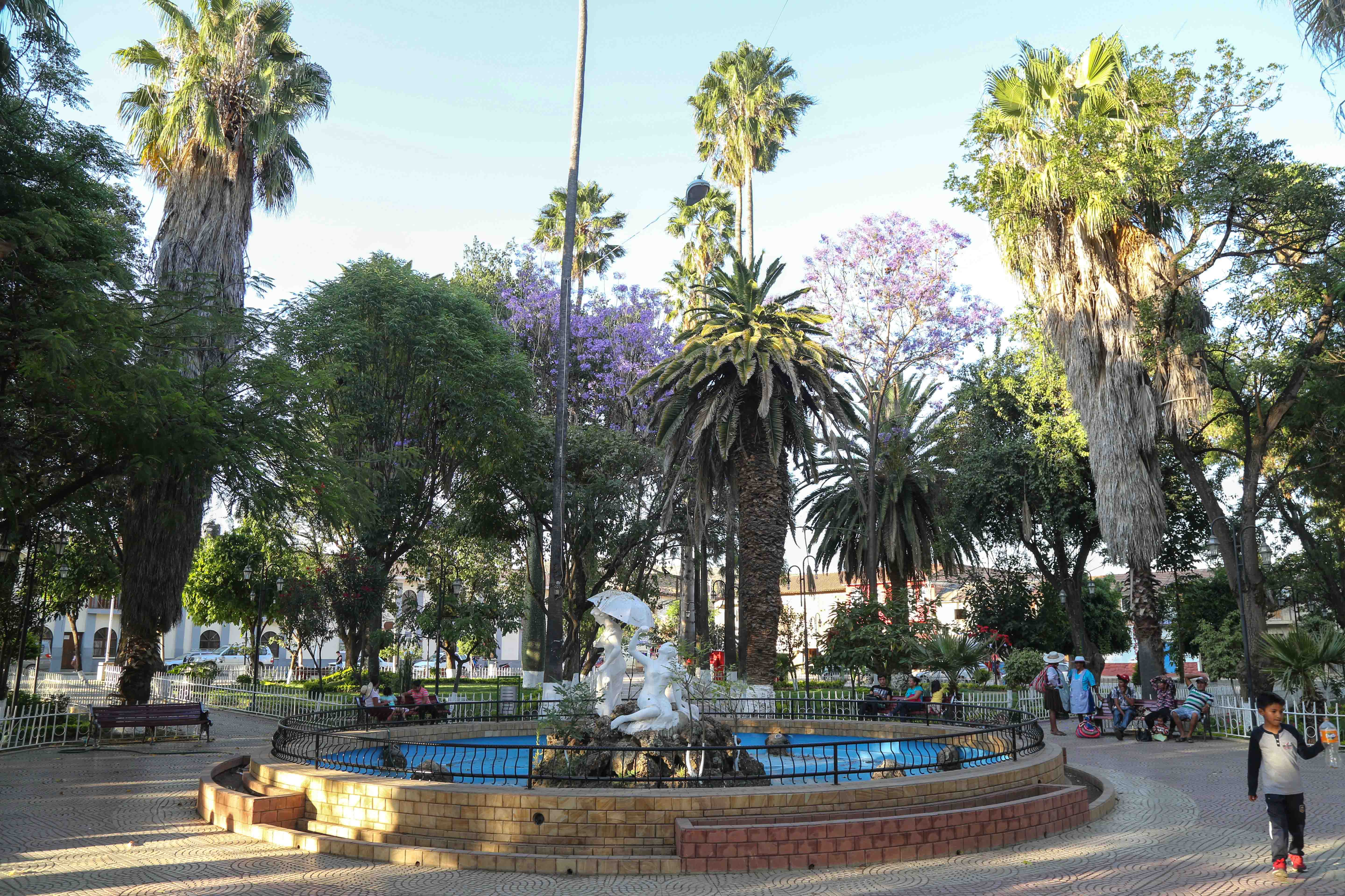
Mizque, Misk'i (from Quechua: ''misk'i'', meaning "sweet") is a town in the Cochabamba Department, Bolivia. It is the capital of the Mizque Province. Mizque is located in the valley of the Mizque River, one of the main tributaries of the Río Grande. Historically, it was located in the region of Upper Peru, and was a ''corregimiente'' dependent on Santa Cruz de la Sierra until 1783, when it became an independent town of the ''Intendencia de Cochabamba'', in the Viceroyalty of the Río de la Plata. During the Spanish American wars of independence, Mizque sent deputies to the Congress of Tucumán, which declared Argentina's independence in 1816, and to the congress that declared the independence of Bolivia in 1825. Communications Mizque is located on a well maintained highway which to the north-west leads through the Valle Alto to Cochabamba. In the other direction, as National Road 23, the route runs southwards to Aiquile and, beyond that, to Sucre. The bus connection to Coch ... [...More Info...] [...Related Items...] OR: [Wikipedia] [Google] [Baidu] |
Quechua Language
Quechua (, ; ), usually called ("people's language") in Quechuan languages, is an Indigenous languages of the Americas, indigenous language family spoken by the Quechua peoples, primarily living in the Peruvian Andes. Derived from a common ancestral language, it is the most widely spoken Pre-Columbian era, pre-Columbian language family of the Americas, with an estimated 8–10 million speakers as of 2004.Adelaar 2004, pp. 167–168, 255. Approximately 25% (7.7 million) of Peruvians speak a Quechuan language. It is perhaps most widely known for being the main language family of the Inca Empire. The Spanish encouraged its use until the Peruvian War of Independence, Peruvian struggle for independence of the 1780s. As a result, Quechua variants are still widely spoken today, being the co-official language of many regions and the second most spoken language family in Peru. History Quechua had already expanded across wide ranges of the central Andes long before the expansion of the ... [...More Info...] [...Related Items...] OR: [Wikipedia] [Google] [Baidu] |
.jpg)


.png)