|
Carbrook, Queensland
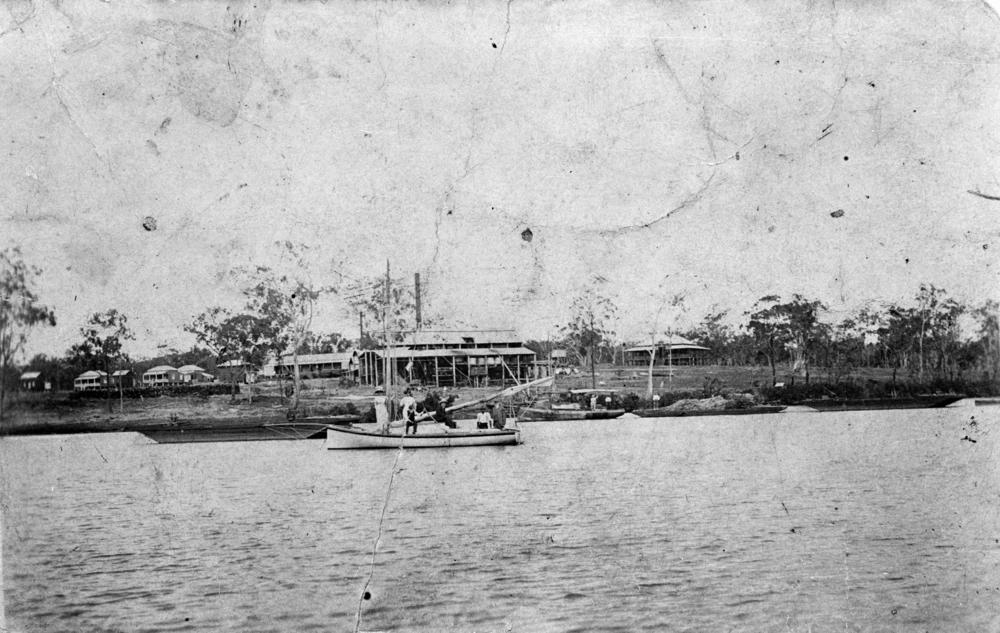
Carbrook is a suburb in the City of Logan, Queensland, Australia. Carbrook was previously called Gramzow, a name of German origin. The German name was anglicised in 1916 during World War I. In the , Carbrook had a population of 1,216 people. History Carbrook was originally known as ''Gramzow'' after the village of Gramzow, Uckermark, Northern Germany, the name being given to it by the early German settlers who arrived in 1867. The Alberton Ferry was established 1870 to cross the Logan River between Ferry Road at Carbrook () and Alberton Road at Alberton. Following the opening of the Logan Bridge in 1931, usage of the ferry declined and it was closed in 1948. Gramzow State School opened on 5 November 1877, being renamed Carbrook State School in 1916. It relocated to its present location in 1987 with the former school building still extant and listed on the Queensland Heritage Register. During World War I, German names were unpopular and many German- or German-sounding placena ... [...More Info...] [...Related Items...] OR: [Wikipedia] [Google] [Baidu] |
Logan City
Logan City is a local government area situated within the south of the Brisbane metropolitan area in South East Queensland, Australia. Situated between the City of Brisbane to the north and the City of Gold Coast to the south, the City also borders the Scenic Rim Region, the City of Ipswich, and Redland City LGAs. Logan City is divided into 70 suburbs and 12 divisions; a councillor is elected to each of the latter. The area had a population of 326,615 in June 2018. Gaining significant area in 2008 from the amalgamation of parts of the Albert and Beaudesert Shires, Logan City extends north to Priestdale, south to Mundoolun near the Albert River, east to Carbrook at the Logan River, and west to Lyons. Logan City is located across parts of the sub-basin of Oxley Creek, and the Logan and Albert Rivers. The Daisy Hill Koala Centre serves as an example of Logan's prominent bushland, reminiscent of Karawatha Forest, and the Tamborine and Venman Bushland National Parks, that bo ... [...More Info...] [...Related Items...] OR: [Wikipedia] [Google] [Baidu] |
Logan City Council
Logan City is a local government area situated within the south of the Brisbane metropolitan area in South East Queensland, Australia. Situated between the City of Brisbane to the north and the City of Gold Coast to the south, the City also borders the Scenic Rim Region, the City of Ipswich, and Redland City LGAs. Logan City is divided into 70 suburbs and 12 divisions; a councillor is elected to each of the latter. The area had a population of 326,615 in June 2018. Gaining significant area in 2008 from the amalgamation of parts of the Albert and Beaudesert Shires, Logan City extends north to Priestdale, south to Mundoolun near the Albert River, east to Carbrook at the Logan River, and west to Lyons. Logan City is located across parts of the sub-basin of Oxley Creek, and the Logan and Albert Rivers. The Daisy Hill Koala Centre serves as an example of Logan's prominent bushland, reminiscent of Karawatha Forest, and the Tamborine and Venman Bushland National Parks, that bo ... [...More Info...] [...Related Items...] OR: [Wikipedia] [Google] [Baidu] |
New Zealand
New Zealand ( mi, Aotearoa ) is an island country in the southwestern Pacific Ocean. It consists of two main landmasses—the North Island () and the South Island ()—and over 700 smaller islands. It is the sixth-largest island country by area, covering . New Zealand is about east of Australia across the Tasman Sea and south of the islands of New Caledonia, Fiji, and Tonga. The country's varied topography and sharp mountain peaks, including the Southern Alps, owe much to tectonic uplift and volcanic eruptions. New Zealand's capital city is Wellington, and its most populous city is Auckland. The islands of New Zealand were the last large habitable land to be settled by humans. Between about 1280 and 1350, Polynesians began to settle in the islands and then developed a distinctive Māori culture. In 1642, the Dutch explorer Abel Tasman became the first European to sight and record New Zealand. In 1840, representatives of the United Kingdom and Māori chiefs ... [...More Info...] [...Related Items...] OR: [Wikipedia] [Google] [Baidu] |
England
England is a country that is part of the United Kingdom. It shares land borders with Wales to its west and Scotland to its north. The Irish Sea lies northwest and the Celtic Sea to the southwest. It is separated from continental Europe by the North Sea to the east and the English Channel to the south. The country covers five-eighths of the island of Great Britain, which lies in the North Atlantic, and includes over 100 smaller islands, such as the Isles of Scilly and the Isle of Wight. The area now called England was first inhabited by modern humans during the Upper Paleolithic period, but takes its name from the Angles, a Germanic tribe deriving its name from the Anglia peninsula, who settled during the 5th and 6th centuries. England became a unified state in the 10th century and has had a significant cultural and legal impact on the wider world since the Age of Discovery, which began during the 15th century. The English language, the Anglican Church, and Engli ... [...More Info...] [...Related Items...] OR: [Wikipedia] [Google] [Baidu] |
Shire Of Tingalpa
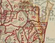
The Shire of Tingalpa was a local government area in the south-eastern suburbs of Brisbane, Queensland, Australia. The shire, administered from Mount Cotton, covered an area of , and existed as a local government entity from 1879 until 1949. History On 11 November 1879, the Tingalpa Division was created as one of 74 divisions within Queensland under the ''Divisional Boards Act 1879'' with a population of 1,490. However, the residents of Cleveland sought to be independent of the division and on 29 May 1885, Cleveland Division was separated from Tingalpa Division. With the passage of the ''Local Authorities Act 1902'', the Tingalpa Division became the Shire of Tingalpa on 31 March 1903. On 1 October 1925, the shire lost areas west of the Tingalpa Creek to the new City of Brisbane. Amalgamations in 1948 On 9 December 1948, as part of a major reorganisation of local government in South East Queensland, an Order in Council replacing ten former local government areas between the ... [...More Info...] [...Related Items...] OR: [Wikipedia] [Google] [Baidu] |
Queensland Heritage Register
The Queensland Heritage Register is a heritage register, a statutory list of places in Queensland, Australia that are protected by Queensland legislation, the Queensland Heritage Act 1992. It is maintained by the Queensland Heritage Council. As at 5 April 2020 there are 1790 places on the Queensland Heritage Register, including the Story Bridge in Brisbane and the Ross River Meatworks Chimney in Townsville. Criteria For a place to be entered in the register, it must be nominated and then go through a process of assessment. There are three categories for inclusion: * State Heritage Place (the most common type of entry), e.g. the Charters Towers Courthouse * Archaeological Place, e.g. the First Brisbane Burial Ground in the vicinity of Skew Street, Brisbane * Protected Area, e.g. the shipwreck of the on Fraser Island Criteria for inclusion as a State Heritage Place For inclusion as a State Heritage Place on the Queensland Heritage Register, the place must satisfy one of the fo ... [...More Info...] [...Related Items...] OR: [Wikipedia] [Google] [Baidu] |
Old Carbrook State School
Old Carbrook State School is a heritage-listed former state school at 597–605 Beenleigh-Redland Bay Road, Carbrook, City of Logan, Queensland, Australia. It was built from 1877 to 1977. It is also known as Gramzow Provisional School. It was added to the Queensland Heritage Register on 21 October 1992. History The former Carbrook State School, now a high-set timber and iron building, was originally named Gramzow Provisional School when constructed in 1877. The area around Carbrook was originally called the Logan District after Captain Patrick Logan who discovered the Logan River in 1826. The area was logged by timber getters before selectors began arriving in the 1860s. The first selector in the area was Herman Meissner who took up his selection in April 1868. The mainly German immigrants who settled in the Carbrook area named the settlement Gramzow after the town Gramzow in Germany, and followed agricultural pursuits including the growing and milling of sugar cane and a ... [...More Info...] [...Related Items...] OR: [Wikipedia] [Google] [Baidu] |
Queensland Family History Society
The Queensland Family History Society (QFHS) is an incorporated association formed in Brisbane, Queensland, Australia. History The society was established in 1979 as a non-profit, non-sectarian, non-political organisation. They aim to promote the study of family history local history, genealogy, and heraldry, and encourage the collection and preservation of records relating to the history of Queensland families. At the end of 2022, the society relocated from 58 Bellevue Avenue, Gaythorne Gaythorne is a suburb in the City of Brisbane, Queensland, Australia. In the , Gaythorne had a population of 3,023 people. Geography Gaythorne is located seven kilometres north-west of the Brisbane central business district. It is bounded to ... () to its new QFHS Family History Research Centre at 46 Delaware Street, Chermside (). References External links * Non-profit organisations based in Queensland Historical societies of Australia Libraries in Brisbane Family hist ... [...More Info...] [...Related Items...] OR: [Wikipedia] [Google] [Baidu] |
Queensland Government
The Queensland Government is the democratic administrative authority of the Australian state of Queensland. The Government of Queensland, a parliamentary constitutional monarchy was formed in 1859 as prescribed in its Constitution, as amended from time to time. Since the Federation of Australia in 1901, Queensland has been a State of Australia, with the Constitution of Australia regulating the relationships between all state and territory governments and the Australian Government. Under the Australian Constitution, all states and territories (including Queensland) ceded powers relating to certain matters to the federal government. The government is influenced by the Westminster system and Australia's federal system of government. The Governor of Queensland, as the representative of Charles III, King of Australia, holds nominal executive power, although in practice only performs ceremonial duties. In practice executive power lies with the Premier and Cabinet. The Cabinet of ... [...More Info...] [...Related Items...] OR: [Wikipedia] [Google] [Baidu] |
Logan River
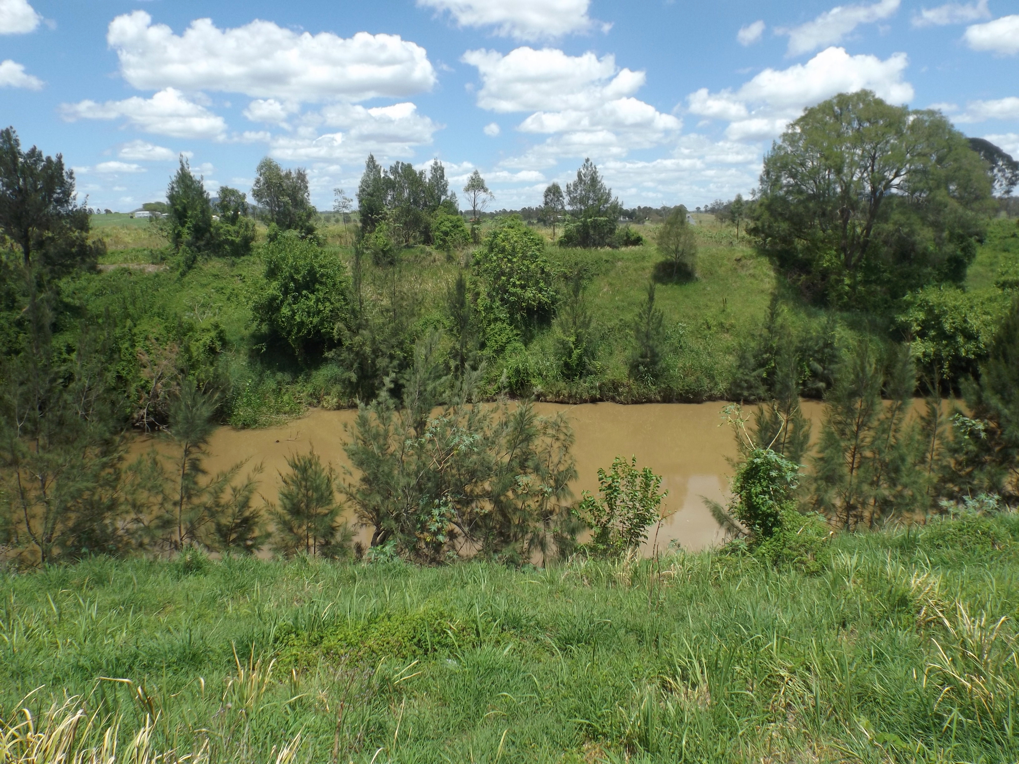
The Logan River ( Yugambeh: ''Dugulumba'') is a perennial river located in the Scenic Rim, Logan and Gold Coast local government areas of the South East region of Queensland, Australia. The -long river is one of the dominant waterways in South East Queensland that drains the southern ranges of the Scenic Rim and empties into Moreton Bay after navigating the City of Logan, a major suburban centre located south of Brisbane. The catchment is dominated by urban and agricultural land use. Near the river mouth are mangrove forests and a number of aquaculture farms. Course and features The river rises below Mount Ernest on the southern slopes of the Scenic Rim, part of the Great Dividing Range and forms in the Mount Barney National Park, near the QueenslandNew South Wales border, below Mount Lindesay. The river flows generally north by northeast, joined by eleven minor tributaries, before heading east and eventually emptying into Moreton Bay. Its principal tributaries are the Alb ... [...More Info...] [...Related Items...] OR: [Wikipedia] [Google] [Baidu] |
Settlers
A settler is a person who has migrated to an area and established a permanent residence there, often to colonize the area. A settler who migrates to an area previously uninhabited or sparsely inhabited may be described as a pioneer. Settlers are generally from a sedentary culture, as opposed to nomadic peoples who may move settlements seasonally, within traditional territories. Settlement sometimes relies on dispossession of already established populations within the contested area, and can be a very violent process. Sometimes settlers are backed by governments or large countries. Settlements can prevent native people from continuing their work. Historical usage One can witness how settlers very often occupied land previously residents to long-established peoples, designated as Indigenous (also called "natives", "Aborigines" or, in the Americas, "Indians"). The process by which Indigenous territories are settled by foreign peoples is usually called settler colonialism ... [...More Info...] [...Related Items...] OR: [Wikipedia] [Google] [Baidu] |
Germans
, native_name_lang = de , region1 = , pop1 = 72,650,269 , region2 = , pop2 = 534,000 , region3 = , pop3 = 157,000 3,322,405 , region4 = , pop4 = 21,000 3,000,000 , region5 = , pop5 = 125,000 982,226 , region6 = , pop6 = 900,000 , region7 = , pop7 = 142,000 840,000 , region8 = , pop8 = 9,000 500,000 , region9 = , pop9 = 357,000 , region10 = , pop10 = 310,000 , region11 = , pop11 = 36,000 250,000 , region12 = , pop12 = 25,000 200,000 , region13 = , pop13 = 233,000 , region14 = , pop14 = 211,000 , region15 = , pop15 = 203,000 , region16 = , pop16 = 201,000 , region17 = , pop17 = 101,000 148,00 ... [...More Info...] [...Related Items...] OR: [Wikipedia] [Google] [Baidu] |


