|
Camisea
The Camisea Gas Project extracts and transports natural gas originating near the Urubamba River in Megantoni District, La Convención Province in the Cusco Region of Peru. The project, which cost nearly four billion dollars by 2015, developed in a remote, forested region of the Amazon Basin which has a population of mostly Indigenous people. History In July 1981 the Peruvian government signed an oil contract for blocks 38 and 42 with Royal Dutch Shell. The contract covered approximately in the southern part of the Ucayali Basin. The Camisea gas fields were discovered in 1986 by Shell. By 1987, two non-associated natural gas fields, San Martín and Cashiriari, were approved economically feasible. In March 1988, the preliminary agreement on exploration was signed between Petroperú and Shell. However, the talks ended in August of that year without reaching a final agreement. Shell and Petroperú signed the agreement for the assessment and development of the Camisea fields in Ma ... [...More Info...] [...Related Items...] OR: [Wikipedia] [Google] [Baidu] |
Megantoni District, La Convención Province
Megantoni District is one of fourteen districts of La Convención Province in the Cusco Region of Peru. Megantoni occupies the northernmost part of La Convención. The district was created in 2016 from land previously belonging to Echarate District. Camisea is the capital of Megantoni and has a population of about 500 people. As of 2017, the district was not connected to the rest of Peru by road. The Urubamba River bisects the district and is a major avenue of transportation. Protected and indigenous lands Ninety-four percent of the land of Megantoni is protected for conservation or allocated to indigenous people. The majority of this land is "almost untouched" tropical rainforest and Peruvian Yungas characteristic of the Amazon Basin and the eastern flanks of the Andes. Protected lands include the Pongo de Mainique, a scenic water gap where the Urubamba River cuts through the Vilcabamba mountain range on the southern border of Megantoni. East of the Pongo, the Megantoni National ... [...More Info...] [...Related Items...] OR: [Wikipedia] [Google] [Baidu] |
Alejandro Toledo
Alejandro Celestino Toledo Manrique (; born 28 March 1946) is a Peruvian politician who served President of Peru, from 2001 to 2006. He gained international prominence after leading the opposition against president Alberto Fujimori, who held the presidency from 1990 to 2000. He pursued his undergraduate and graduate education at the University of San Francisco and Stanford University. He originally joined the technical and academic field, from where he participated as an analyst on politics and economics on some occasions. He entered politics when he founded the Possible Peru party, participating for the first time in the 1995 Peruvian general election. In 2000, he managed to become in the largest opposition leader to the government of Alberto Fujimori, before whom in the midst of a controversial and bumpy process, lost the election for a second time. After the transition stage and the return of democracy in Peru, he participated for the third time in the 2001 Peruvian general ... [...More Info...] [...Related Items...] OR: [Wikipedia] [Google] [Baidu] |
Urubamba River
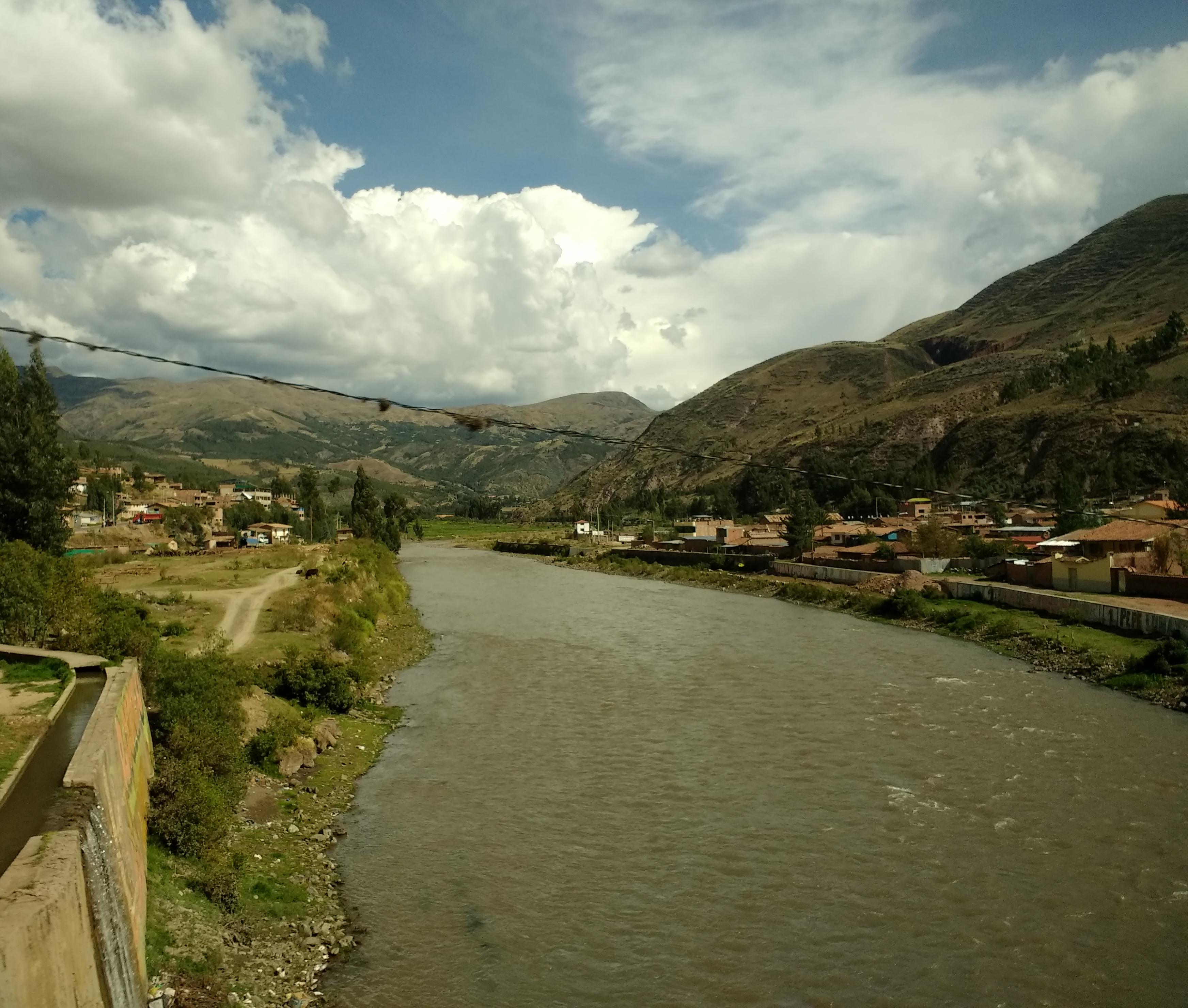
The Urubamba River or Vilcamayo River (possibly from Quechua ''Willkamayu'', for "sacred river") is a river in Peru. Upstream it is called Vilcanota River (possibly from Aymara ''Willkanuta'', for "house of the sun"). Within the La Convención Province the naming changes to Urubamba. A partially navigable headwater of the Amazon River, it rises in the Andes to the southeast of Cuzco. It originates on the slopes of Khunurana in the Puno Region, Melgar Province, near the La Raya pass. It flows north-north-west for 724 kilometers before coalescing with the Tambo River to form the Ucayali River. The Urubamba is divided into Upper Urubamba and Lower Urubamba, the dividing feature being the Pongo de Mainique, an infamous whitewater canyon. Upper Urubamba The Upper Urubamba (''Alto Urubamba'') valley features a high population and extensive irrigation works. A number of ruins of the Inca Empire lie in the Sacred Valley, including the Incan city of Machu Picchu, Patallaqta, Pikillaq ... [...More Info...] [...Related Items...] OR: [Wikipedia] [Google] [Baidu] |
Peru
, image_flag = Flag of Peru.svg , image_coat = Escudo nacional del Perú.svg , other_symbol = Great Seal of the State , other_symbol_type = Seal (emblem), National seal , national_motto = "Firm and Happy for the Union" , national_anthem = "National Anthem of Peru" , march = "March of Flags" , image_map = PER orthographic.svg , map_caption = , image_map2 = , capital = Lima , coordinates = , largest_city = capital , official_languages = Peruvian Spanish, Spanish , languages_type = Co-official languages , languages = , ethnic_groups = , ethnic_groups_year = 2017 , demonym = Peruvians, Peruvian , government_type = Unitary state, Unitary Semi-presidential system, semi-presidential republic , leader_title1 = President of Peru, President ... [...More Info...] [...Related Items...] OR: [Wikipedia] [Google] [Baidu] |
Callao
Callao () is a Peruvian seaside city and Regions of Peru, region on the Pacific Ocean in the Lima metropolitan area. Callao is Peru's chief seaport and home to its main airport, Jorge Chávez International Airport. Callao municipality consists of the whole Callao Region, which is also coterminous with the Province of Callao. Founded in 1537 by the Spaniards, the city has a long naval history as one of the main ports in Latin America and the Pacific, as it was one of vital Spanish towns during the Spanish America, colonial era. Central Callao is about west of the Historic Centre of Lima. History El Callao was founded by Spanish colonists in 1537, just two years after Lima (1535). It soon became the main port for Spanish commerce in the Pacific Ocean, Pacific. The origin of its name is unknown; both Amerindian (particularly Yunga language (Peru), Yunga, or Coastal Peruvian) and Spanish sources are credited, but it is certain that it was known by that name since 1550. Other sou ... [...More Info...] [...Related Items...] OR: [Wikipedia] [Google] [Baidu] |
Propane
Propane () is a three-carbon alkane with the molecular formula . It is a gas at standard temperature and pressure, but compressible to a transportable liquid. A by-product of natural gas processing and petroleum refining, it is commonly used as a fuel in domestic and industrial applications and in low-emissions public transportation. Discovered in 1857 by the French chemist Marcellin Berthelot, it became commercially available in the US by 1911. Propane is one of a group of liquefied petroleum gases (LP gases). The others include butane, propylene, butadiene, butylene, isobutylene, and mixtures thereof. Propane has lower volumetric energy density, but higher gravimetric energy density and burns more cleanly than gasoline and coal. Propane gas has become a popular choice for barbecues and portable stoves because its low −42 °C boiling point makes it vaporise inside pressurised liquid containers (2 phases). Propane powers buses, forklifts, taxis, outboard boat motors, and ic ... [...More Info...] [...Related Items...] OR: [Wikipedia] [Google] [Baidu] |
Liquefied Petroleum Gas
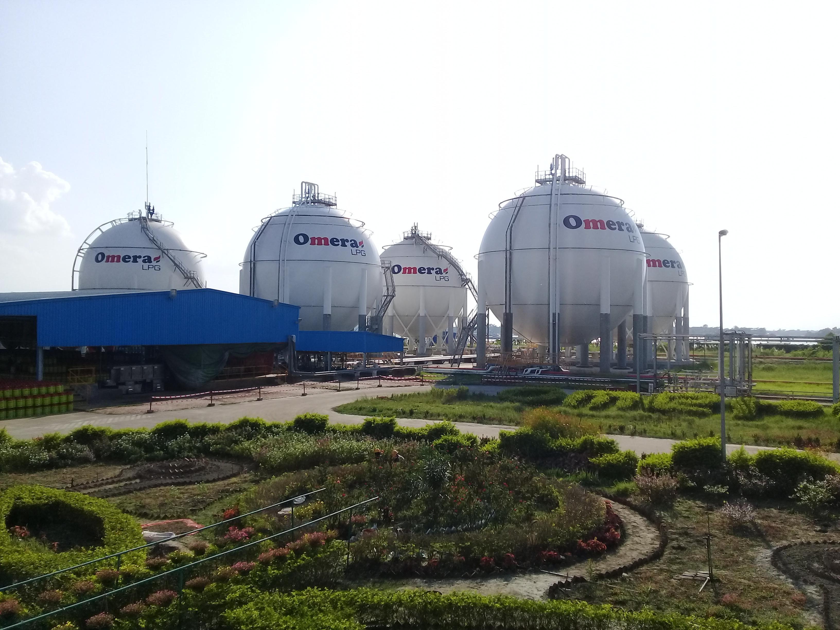
Liquefied petroleum gas (LPG or LP gas) is a fuel gas which contains a flammable mixture of hydrocarbon gases, specifically propane, propylene, butylene, isobutane and n-butane. LPG is used as a fuel gas in heating appliances, cooking equipment, and vehicles. It is increasingly used as an aerosol propellant and a refrigerant, replacing chlorofluorocarbons in an effort to reduce damage to the ozone layer. When specifically used as a vehicle fuel, it is often referred to as autogas or even just as gas. Varieties of LPG that are bought and sold include mixes that are mostly propane (), mostly butane (), and, most commonly, mixes including both propane and butane. In the northern hemisphere winter, the mixes contain more propane, while in summer, they contain more butane. In the United States, mainly two grades of LPG are sold: commercial propane and HD-5. These specifications are published by the Gas Processors Association (GPA) and the American Society of Testing and Ma ... [...More Info...] [...Related Items...] OR: [Wikipedia] [Google] [Baidu] |
Pisco, Peru
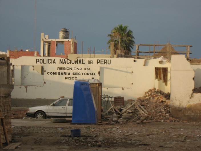
Pisco ( qu, Pisqu) is a city located in the Department of Ica of Peru, the capital of the Pisco Province. The city is around 9 metres (28 feet) above sea level. Pisco was founded in 1640, close to the indigenous emplacement of the same name. Pisco originally prospered because of its nearby vineyards and became noted for its grape brandy or pisco which was exported from its port. Pisco has an estimated population of 104,656 (est. 2015). History The city was highly populated until 1685, when it was pillaged by English pirates. The city suffered again in 1687 because of an earthquake. Vines are abundant, despite the sandy and infertile terrain; they grow in many places because of the moisture from inside the earth and provide Lima with its wines and grape concentrates that run along the various mountain provinces extending to Panama and Guayaquil. Pisco was attacked by the pirates Clerck and David; in addition, in 1687 it was destroyed by an earthquake, which caused a tsunami to ... [...More Info...] [...Related Items...] OR: [Wikipedia] [Google] [Baidu] |
Ica Region
Ica (; qu, Ika) is a department and region of Peru. It borders the Pacific Ocean on the west; the Lima Region on the north; the Huancavelica and Ayacucho regions on the east; and the Arequipa Region on the south. Its capital is the city of Ica. Geography The Department of Ica has a remarkable geography. It is the only region of the southern coast formed by plains, also called coast plains, since the Andean Cordillera rise up inland. Some geological folds have determined the formation of dunes moving toward the sea, which form much of the Paracas Peninsula. Some isolated formations located at the southern part created the Marcona complex, with the biggest deposits of iron in the Pacific coast. Ica's configuration is due to the geomorphology of its two big and unique fluvial watersheds: the Pasco and Ica rivers. Also, it has a waterway called the Rio Grande, although its waters do not reach the ocean. Some waters are diverted for irrigation and agriculture in the provinces o ... [...More Info...] [...Related Items...] OR: [Wikipedia] [Google] [Baidu] |
Paracas National Reservation
Paracas National Reserve is a protected area located in the region of Ica, Peru and protects desert and marine ecosystems for their conservation and sustainable use. There are also archaeological remains of the Paracas culture inside the reserve. Geography The reserve is located in the region of Ica, 250 km south of Lima, and a few kilometers from the town of Pisco. It spans an area of 335,000 hectares, 65% of which correspond to marine ecosystems. The highest elevation in the reserve is 786 m. The reserve includes coastal geographic features such as: the Paracas Peninsula, Independencia Bay, San Gallán Island, Paracas Bay and Independencia Island. Climate Paracas National Reserve is an arid zone, with intense local winds known as ''paracas''. Precipitation is scarce and occurs in winter, falling mostly on the top of the highest hills, which is vital to the lomas ecosystem. The following climograph corresponds to the nearby town of Pisco (19 m of elevation). Ecolog ... [...More Info...] [...Related Items...] OR: [Wikipedia] [Google] [Baidu] |
Andes
The Andes, Andes Mountains or Andean Mountains (; ) are the longest continental mountain range in the world, forming a continuous highland along the western edge of South America. The range is long, wide (widest between 18°S – 20°S latitude), and has an average height of about . The Andes extend from north to south through seven South American countries: Venezuela, Colombia, Ecuador, Peru, Bolivia, Chile, and Argentina. Along their length, the Andes are split into several ranges, separated by intermediate depressions. The Andes are the location of several high plateaus—some of which host major cities such as Quito, Bogotá, Cali, Arequipa, Medellín, Bucaramanga, Sucre, Mérida, El Alto and La Paz. The Altiplano plateau is the world's second-highest after the Tibetan plateau. These ranges are in turn grouped into three major divisions based on climate: the Tropical Andes, the Dry Andes, and the Wet Andes. The Andes Mountains are the highest m ... [...More Info...] [...Related Items...] OR: [Wikipedia] [Google] [Baidu] |


.jpg)